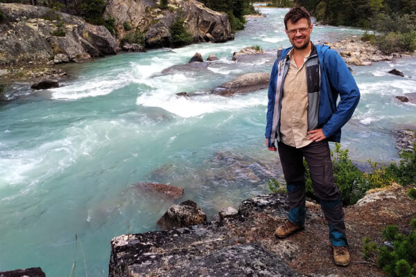



Banff and I plain do not get along. It’s not just the town, crowds, tourists, and prices; those hassles diminish a day from the trailhead. It’s that I have tried four multi-day backpacks in Banff and none of them have come off. Lake Minnewanka: I got bored. Sawback Trail: I had a terrible night, lost my Kindle, broke my phone, and bailed out. Sawback Trail II: I was misled by unduly pessimistic reports of snow in the passes to rebook a trip I could have completed. Now, the Red Deer–Clearwater Circuit, the lamest failure of all.
Was it my fault? Partially. The Red Deer–Clearwater Circuit is an odd duck. For most of its ninety-ish miles it crosses the random camping area of Banff’s Front Ranges, little-trafficked lands with a couple gnarly fords but mostly reasonably civilized trail and easy to book if you’re not afraid of the telephone. The catch is that the ends of the loop are in the popular Molar Pass country, with campsites at Fish Lakes and Molar Creek that are quite difficult to book. Therefore on opening day you must book a campsite for the beginning of your hike, separately book one for the end, and then call the park to fill in the middle. I made a math mistake there, giving myself eight days when I should have given myself nine.
It was doable. I wasn’t looking forward to some of the tough, long days it took, but it was doable. Just not fun. The joy of such long hikes is getting into pleasant camps at pleasant times; grinding out long days and stopping where I had to rather than where I wanted to was not that. It was no reason not to make the trip, but it bugged me.
So when I got sick, I did not need my arm twisted to call the whole thing off.
Otherwise, the trip began distinctly un-cursed. I didn’t forget to pack anything, which is more than I could say for the North Boundary Trail. A buckle on my camera bag broke, but the MEC’s replacement was field-installable and held up. A bunk in a Banff hostel ran a mere $130, and they’d even hold onto my airplane luggage for me if I provided my own padlock. An unbelievably kind woman named Isabelle gave me a ride to Mosquito Creek from the very door of that hostel; she’d done the trail before, among many, many others, and was supremely helpful as well as great company for the drive. Then, a night at the HI wilderness hostel at Mosquito Creek, which was not only cheaper than Banff but nicer in every other way. Against all expectations it had wifi that pretty much worked. The smoke from the BC wildfires was present but could have been far worse, the weather forecast was solid; it seemed all should be well.
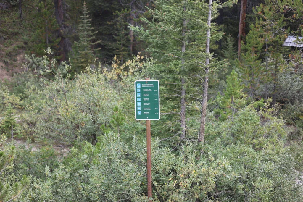
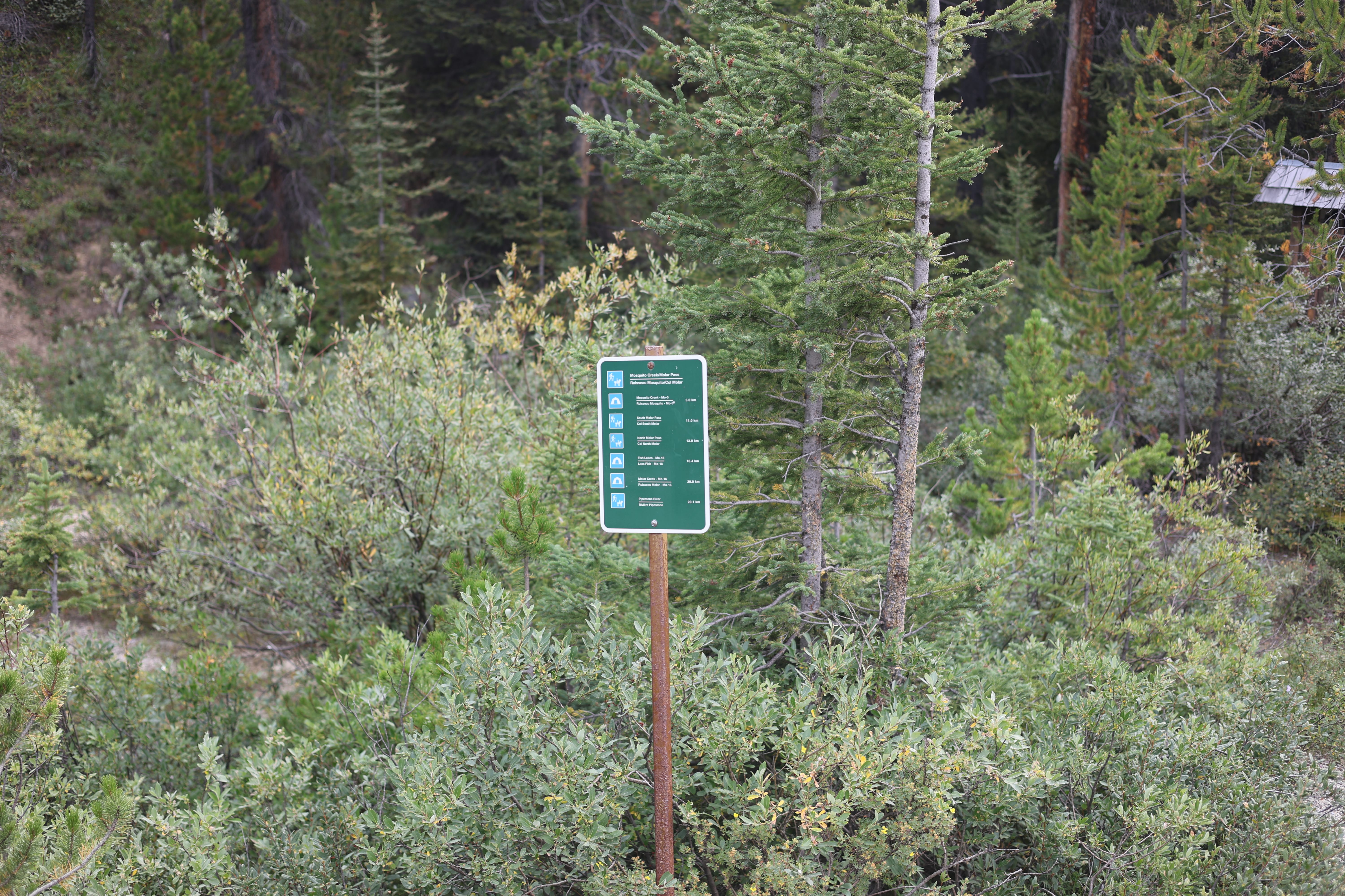
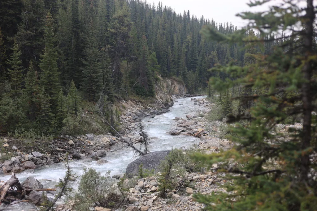
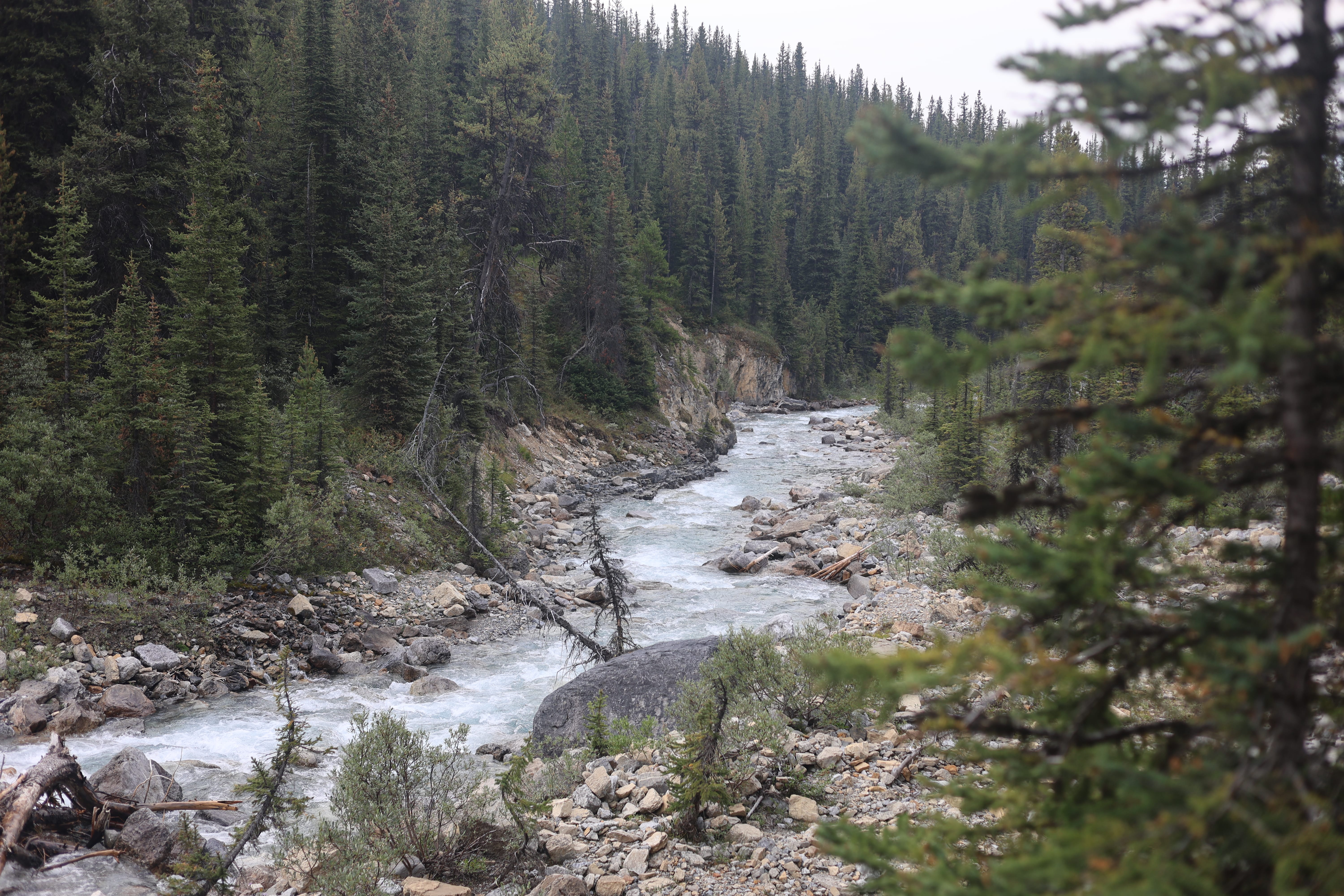
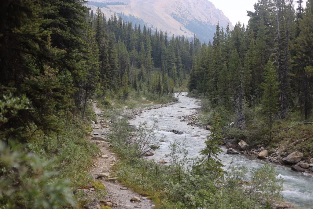
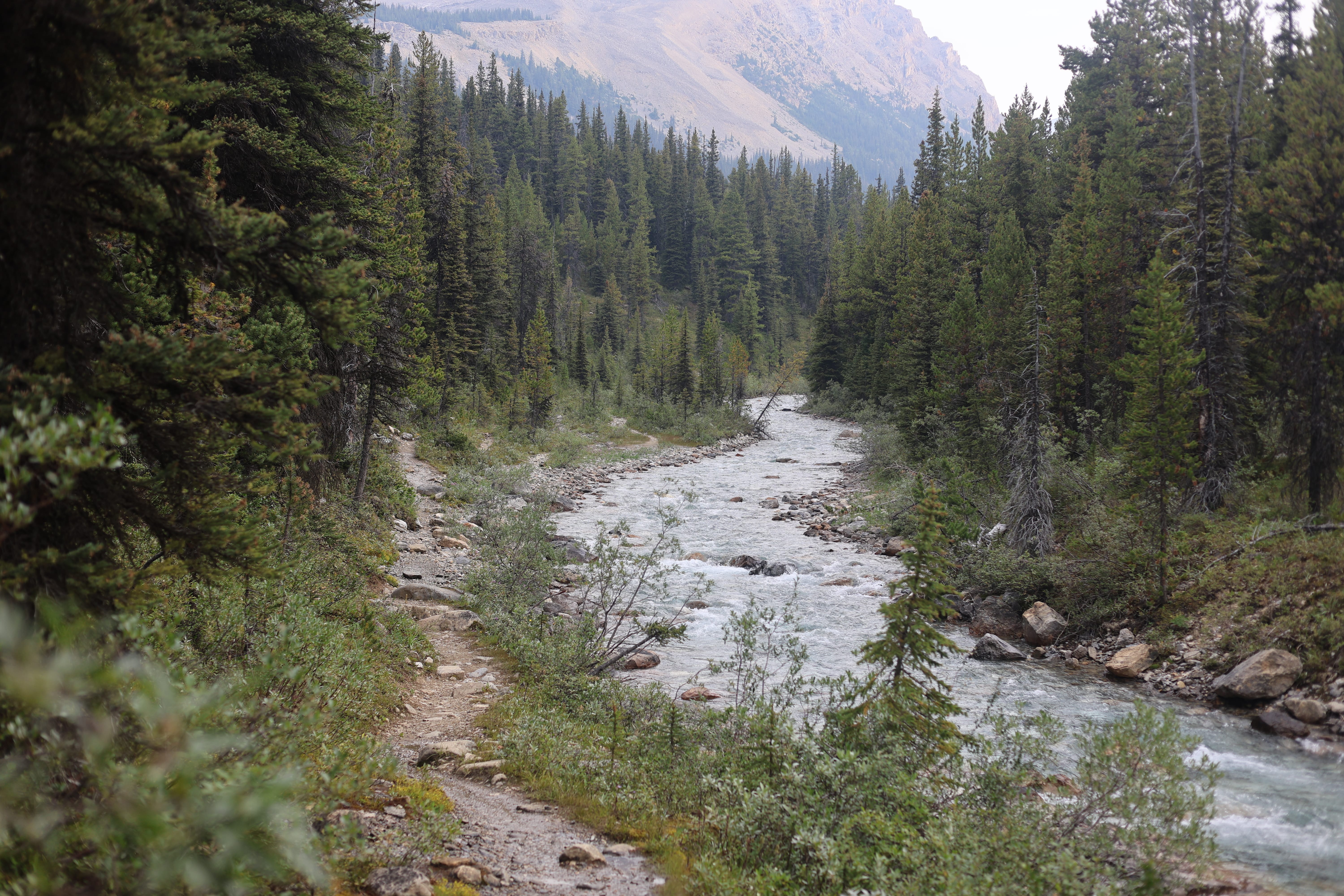
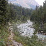
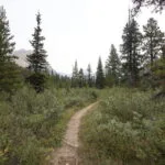
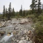
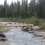
Starting a big backpack, however, never feels any easier. Hauling my load over the Icefields Parkway, I had all the usual anxieties. I expected two tough river fords, at the Pipestone River on day two and the Clearwater River on day much-later, plus more climbing, particularly on the long, emotional leg between Divide and Peters Creeks. Those twenty miles featured a couple miles of climb, a dozen creek crossings around washed-out trail, probable deadfall, and almost no decent camping. It sounded nasty.
Otherwise, though, the Red Deer and the Clearwater had a reputation for cruise-like hiking, some spectacular views, and an incredible finish out past Clearwater and Devon Lakes, over a gorgeous pass, then out to Fish Lakes for one night’s lovely camping (though you are not permitted to fish the Fish Lakes).
Nevertheless, my first days are always all stress. Can I really do this? I am middle-aged, fat, and get few opportunities for serious backpacking before a big summer trip. The North Boundary had been a success, but in perfect conditions: no rain, excellent temperatures, and most of the trail so recently cleared I met the horse party that did it. My first day was no cakewalk: eleven and a half miles with a pass. Molar Pass is not the gnarliest in the Rockies by a long chalk, but on the way down it was said to get sloppy and sketchy, ending with a meadow walk and an unbridged crossing of fairly-serious Molar Creek to camp. The park reported that two of the three bridges up the first third of the trail, to Mosquito Creek, had been washed out, and while I wasn’t worried about that in mid-August the theme seemed to be “wet.” The Canadian Rockies Trail Guide reassures us that most of those who have hiked this trail to Molar Creek have been disappointed by it. Stress stress stress.
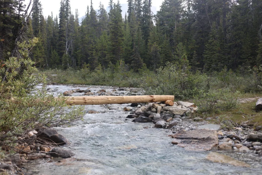
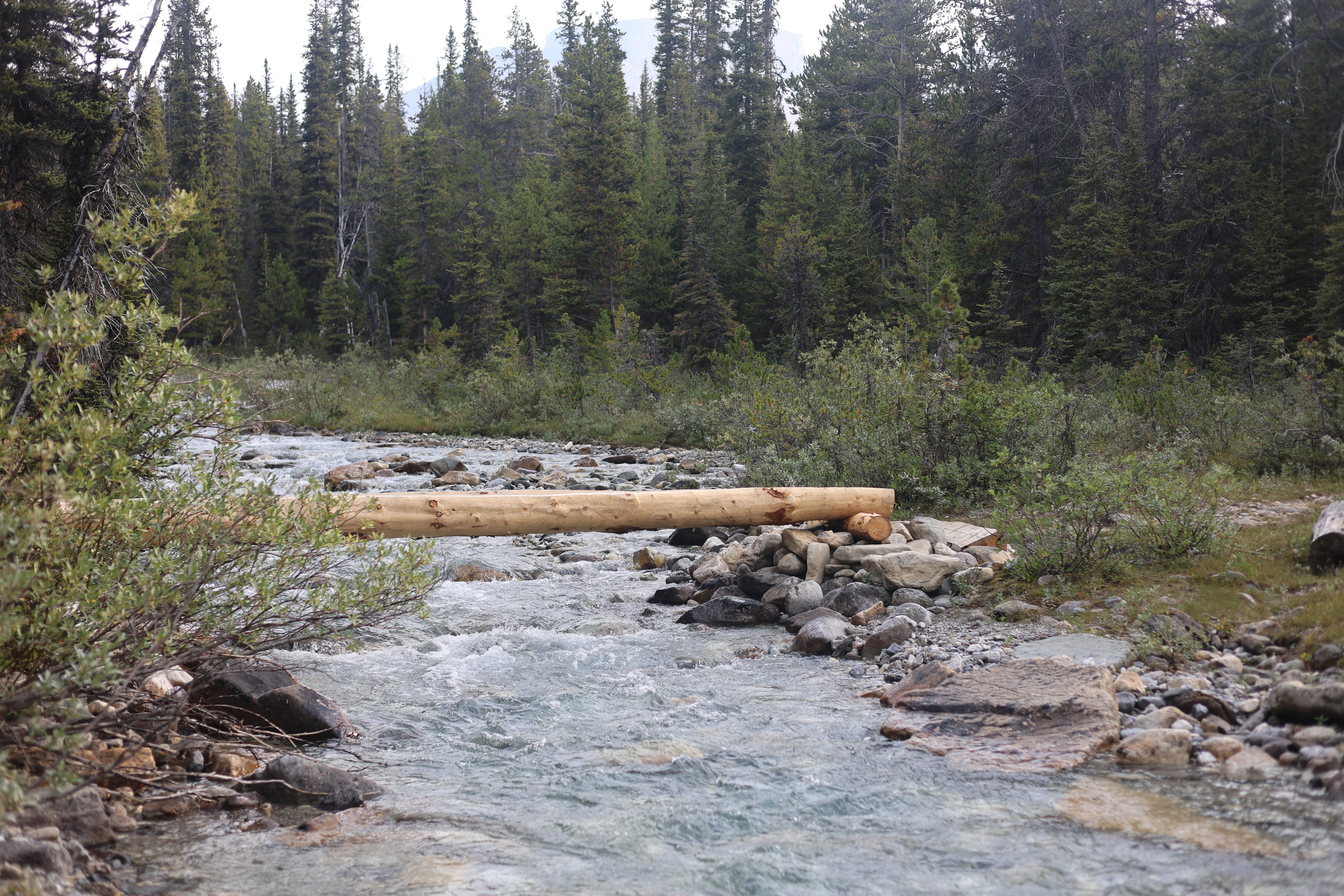
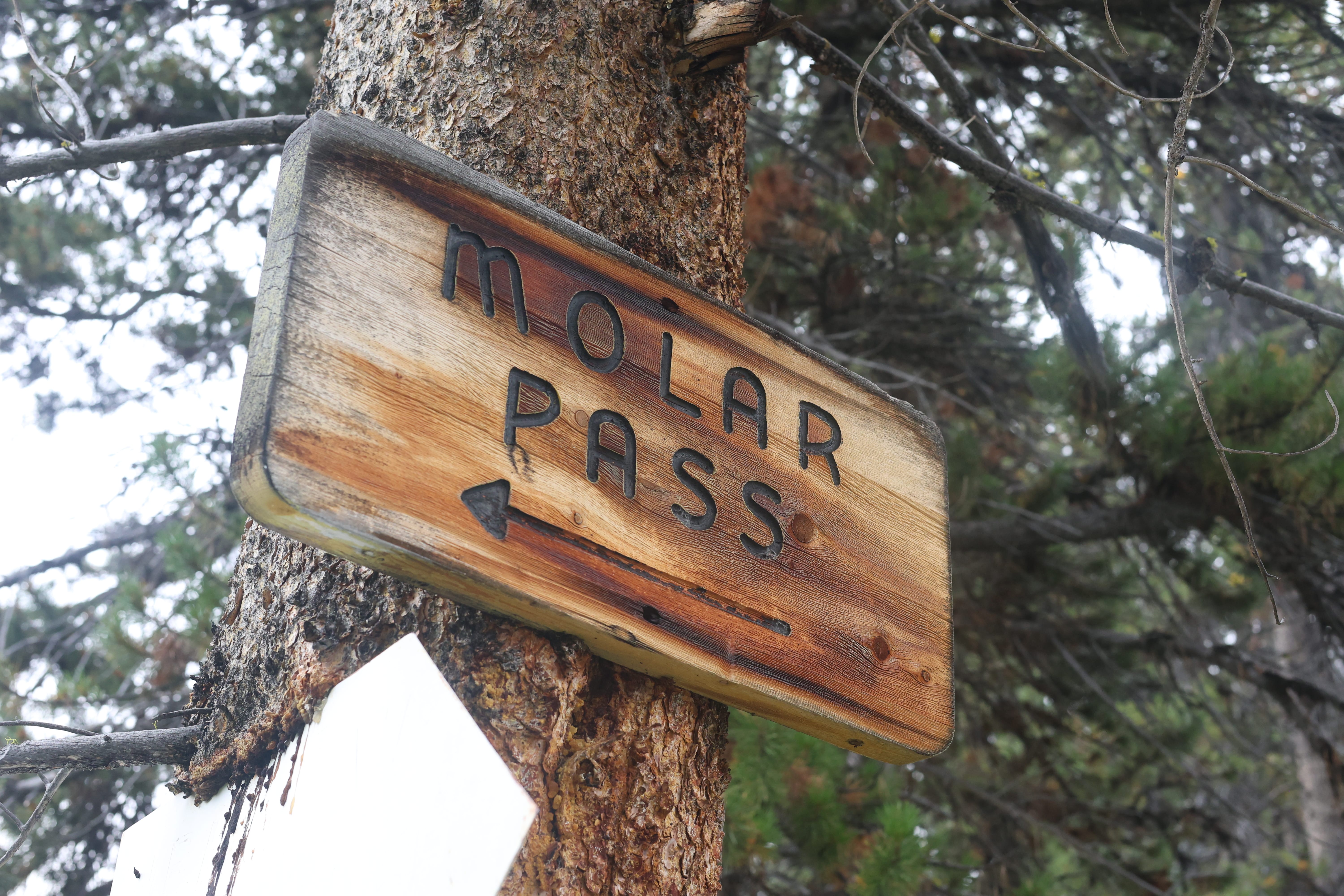
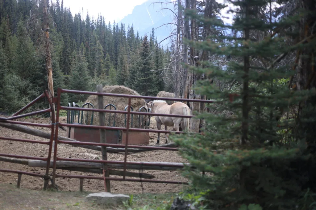
In general, if not in detail, the hike to Molar Creek was advertised correctly: it starts easily and then gets on your nerves. The first three miles, to family-friendly and popular Mosquito Creek campground, involve some climb but go by easily. Broad, well-graded trail with no deadfall worse than an ankle-high step-over. Despite the sign at the trailhead, both the bridges had already been replaced: one with a rickety but wholly viable single-plank affair I assume is temporary and the other in style, beautiful new timber you could almost smell. There was plenty of fresh trail work, but no horse sign: the beautiful horse corral near the Mosquito Creek hostel is half-falling apart and the grass has obviously not been grazed for some time. In Banff a lot of maintenance seems to get done on foot.
Reaching Mosquito Creek camp, then, was no trouble, taking something like an hour fifteen going easy. I was thinking about my pace, hoping to be over Molar Pass before a slight chance of afternoon lightning came in or in case the smoke got worse, and without having to book it the numbers were looking good. So I took a break at Mosquito Creek to water up while a mom and her son fooled around. That was where I discovered that my Sawyer Squeeze water filter was, somehow, totally clogged up. I had used it earlier in the year, was pretty sure I’d flushed the thing at home (pretty sure), but an hour filtered what amounted to a quart of usable water. Uh-oh. Obviously, I was going to have to flush it in the field, which you can do, but calls for plenty of water cleaner than the obviously well-named Mosquito Creek.
Well, there was nothing I could do, so once I had cool muscles and a frustrated heart, I started hiking again. I had two full one-litre bottles, so one on the way up to the pass and one on the way down would get me through.
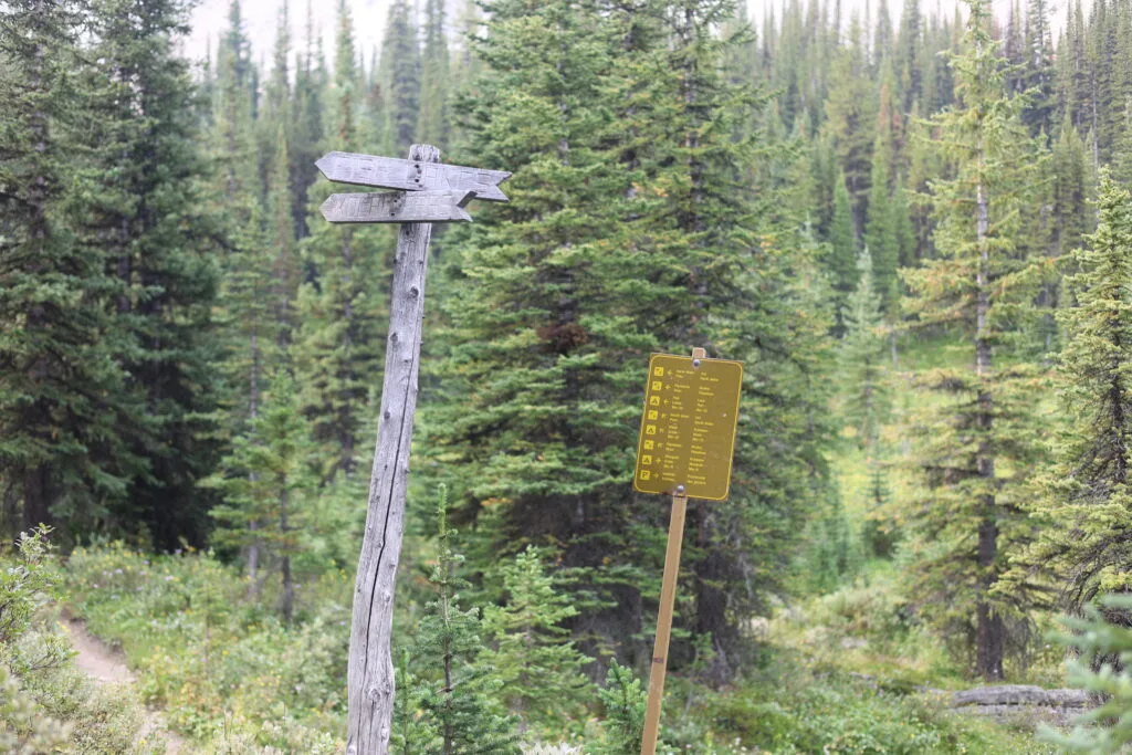
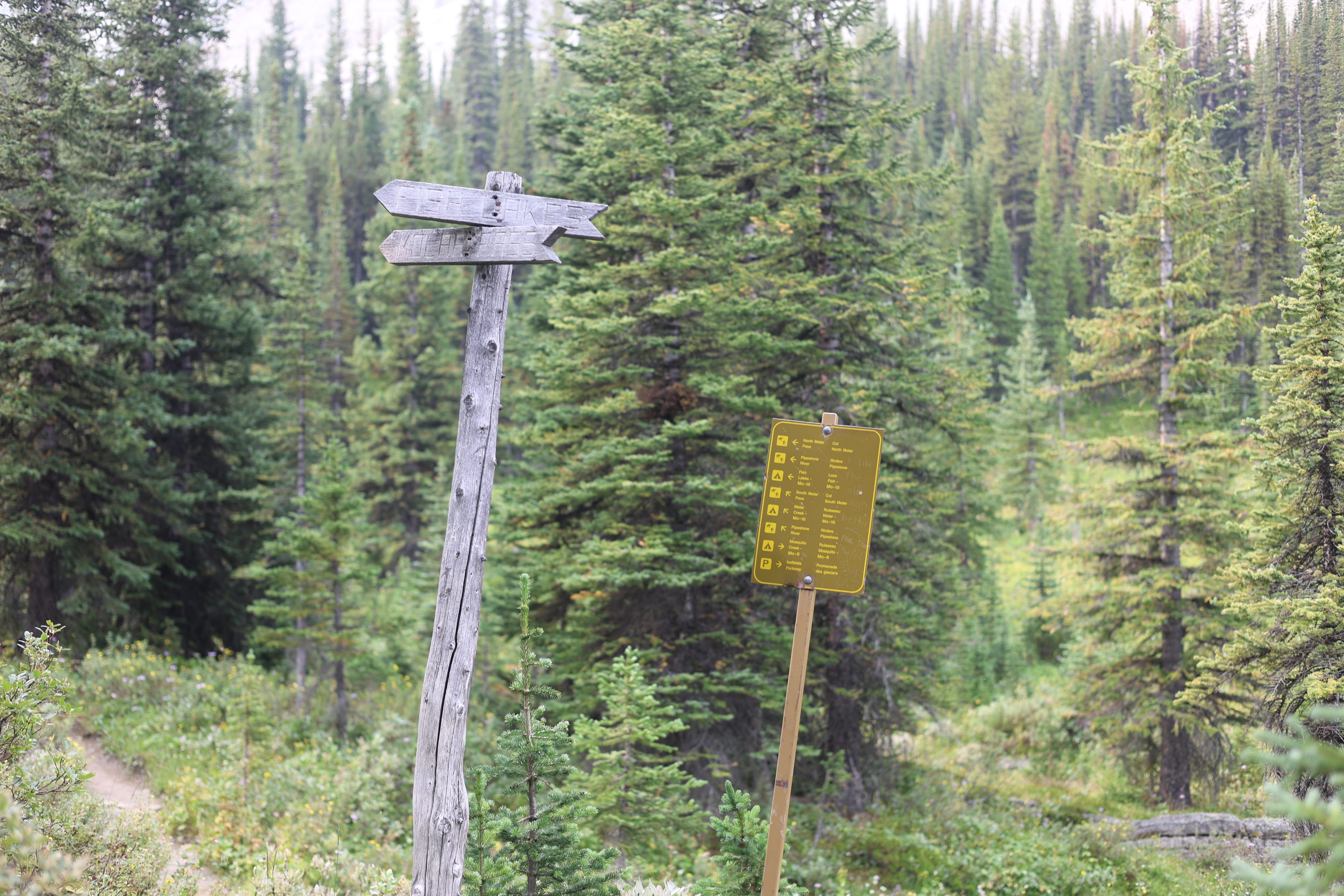
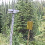
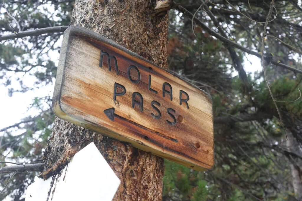
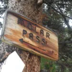
Immediately after camp, things get a bit tougher. Not just me missing the path out; that was user error. For a bit over a mile and a half, you follow narrower, trickier, rockier, rootier, slower trail. I wanted a break, but saw I was almost at the point where the trail splits between North Molar Pass and regular Molar Pass1, so I finished it off. A good decision: there was a lovely old sign, a lovely new one, and a little stream that I would have filtered a drink from if I could have but I couldn’t so I didn’t. I sat a spell then bore right towards my pass of choice.
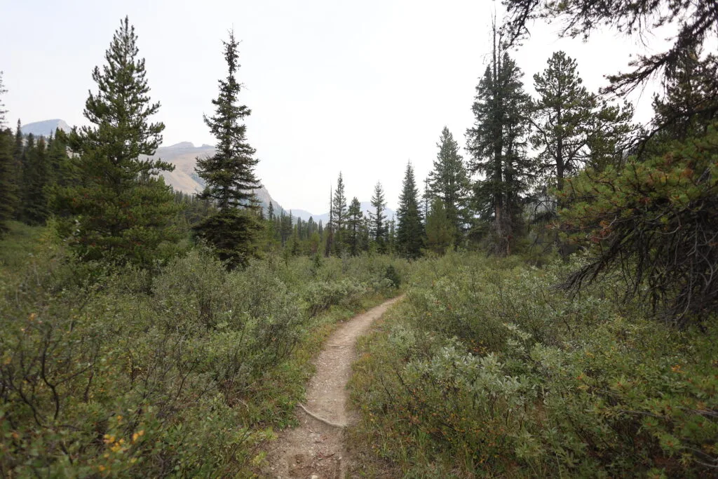
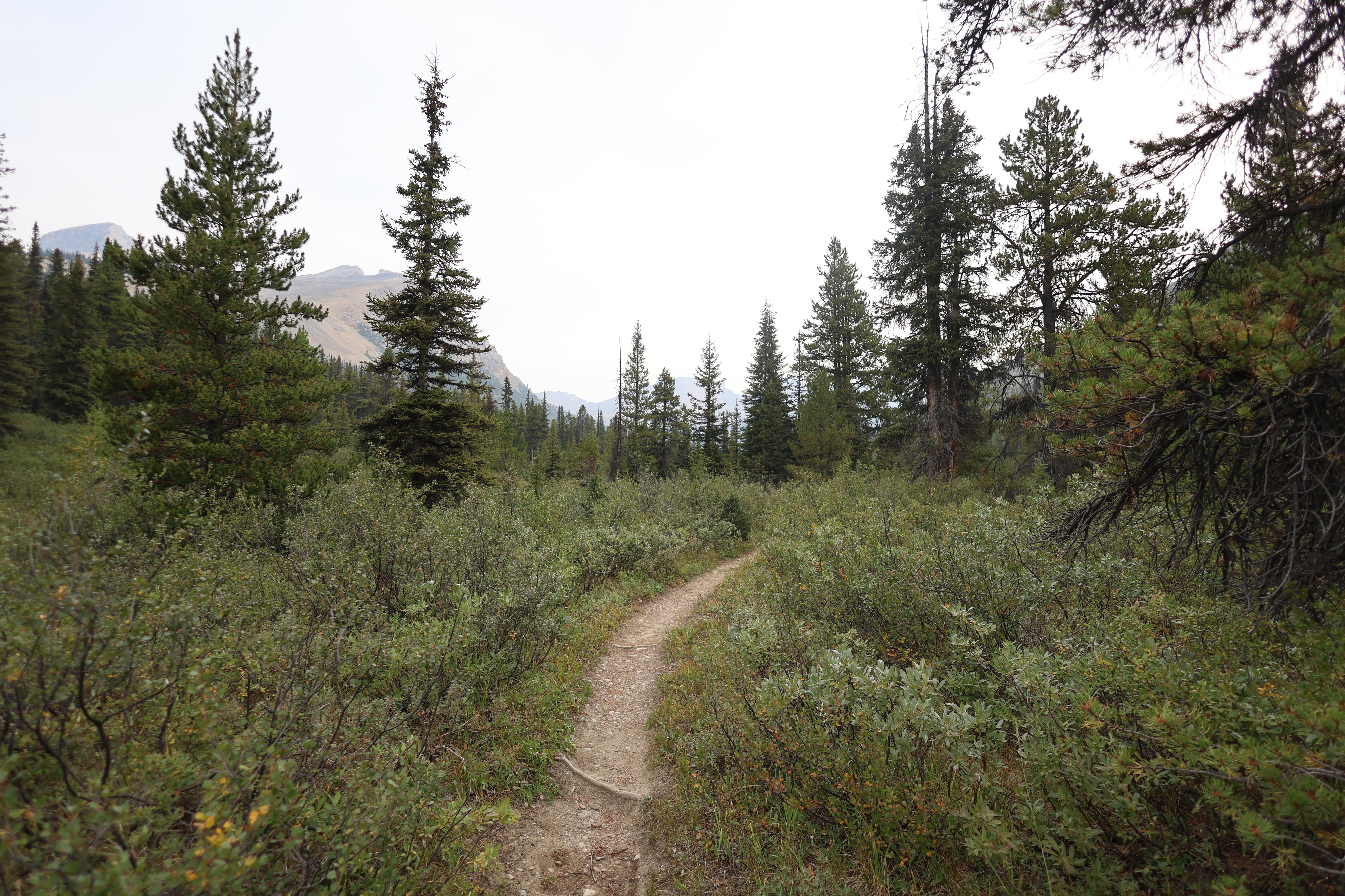
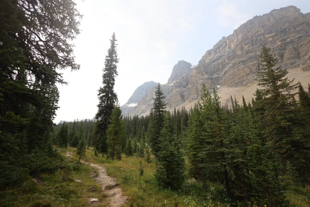
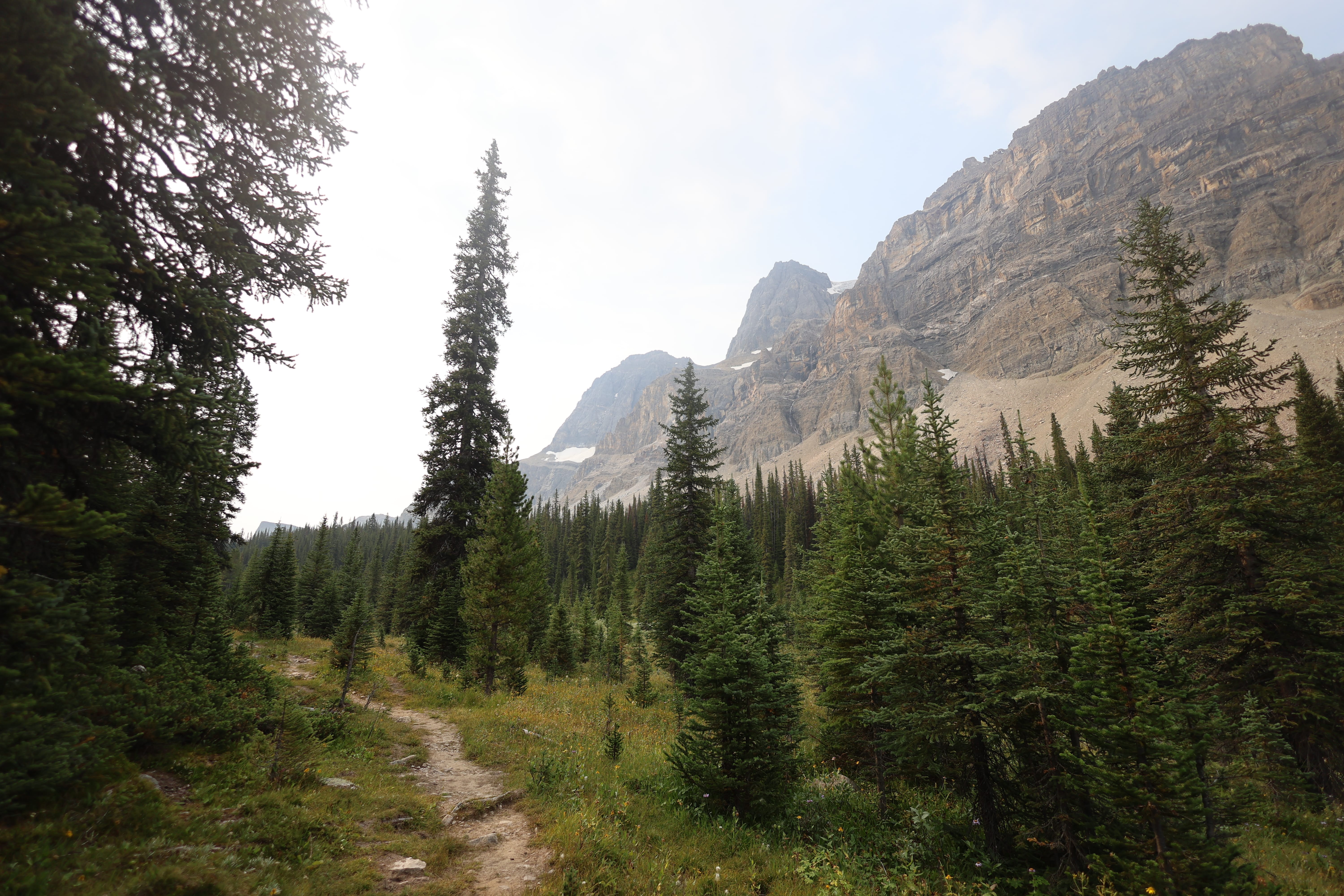
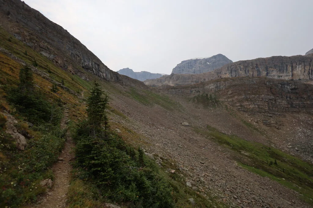
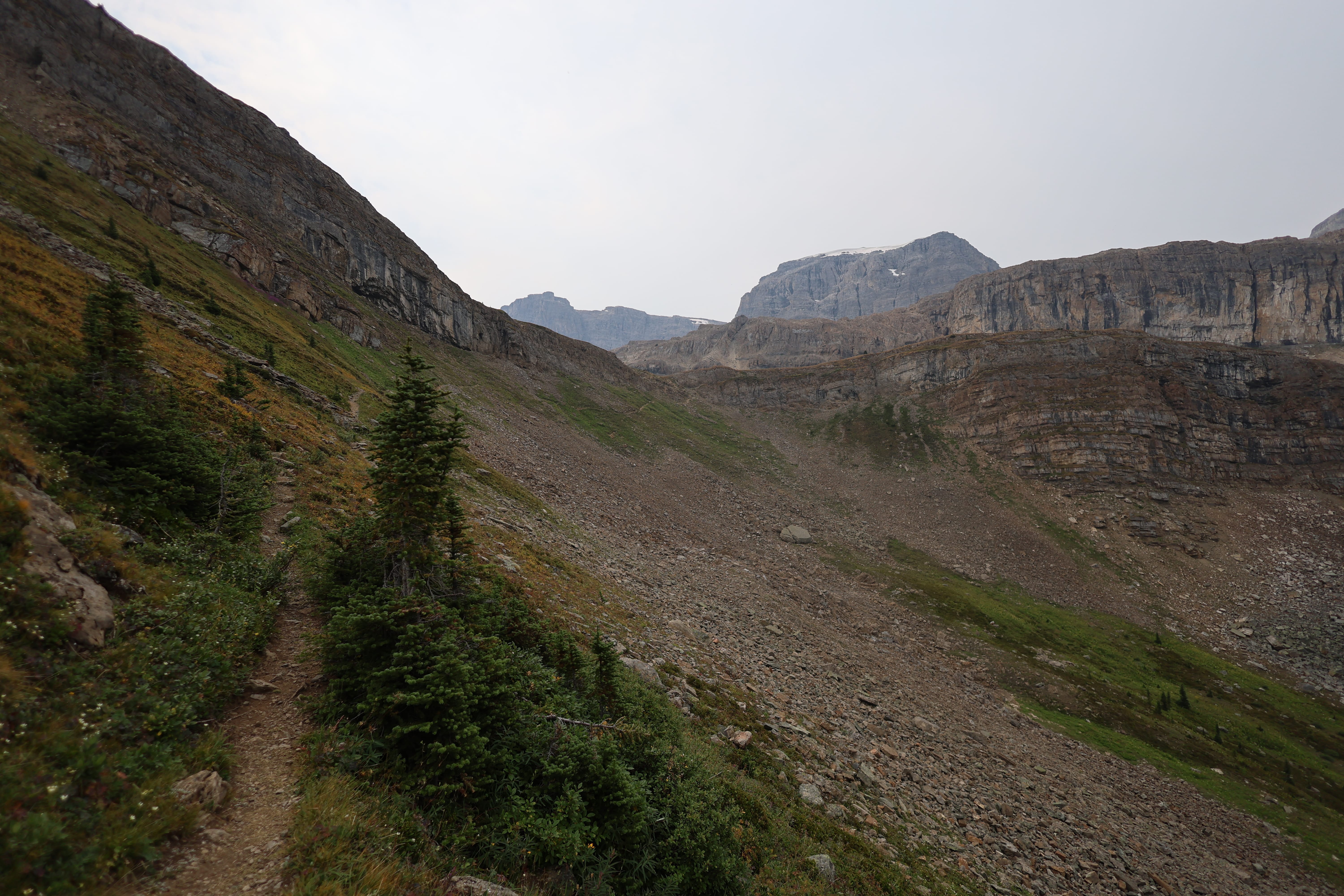
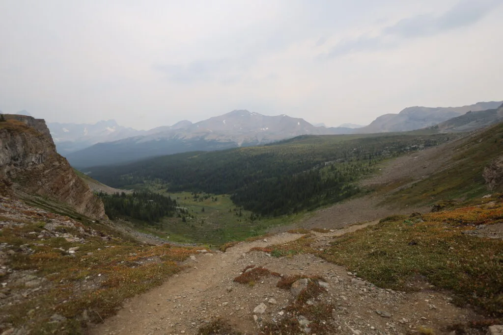
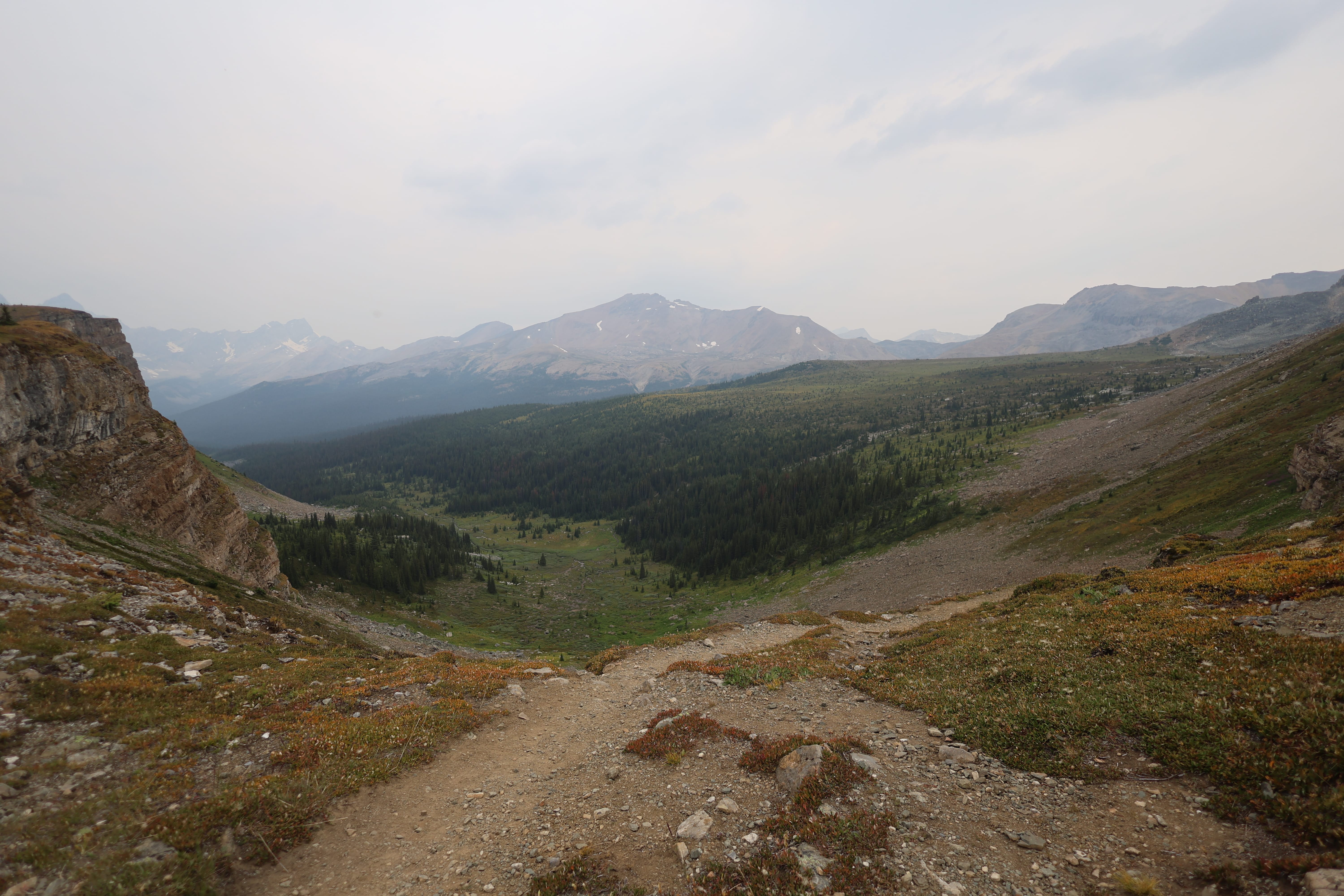
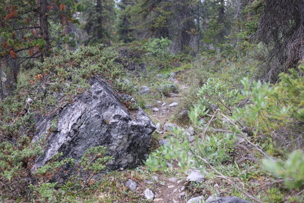
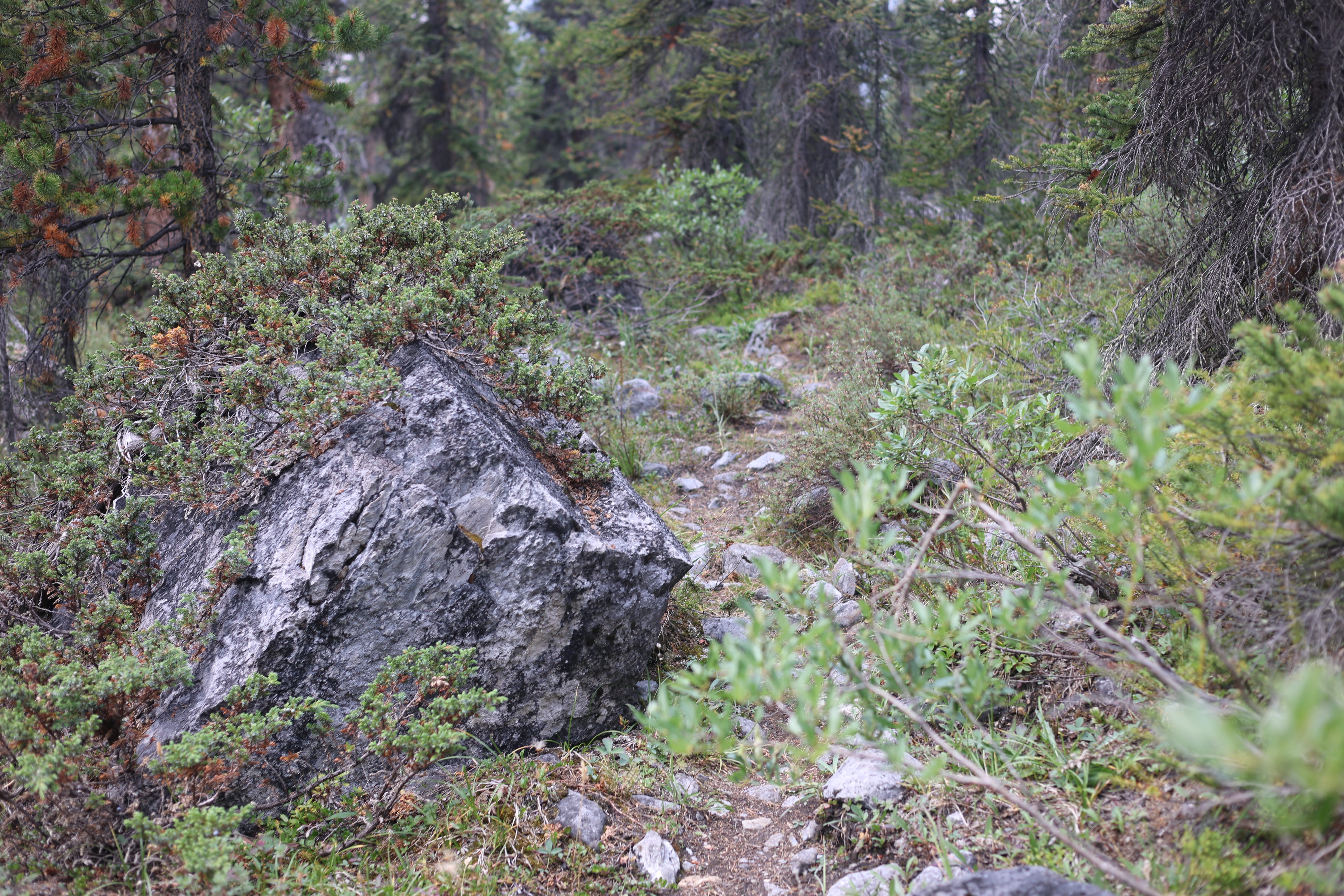
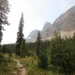
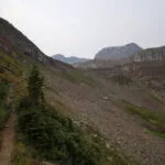
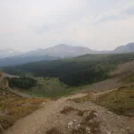
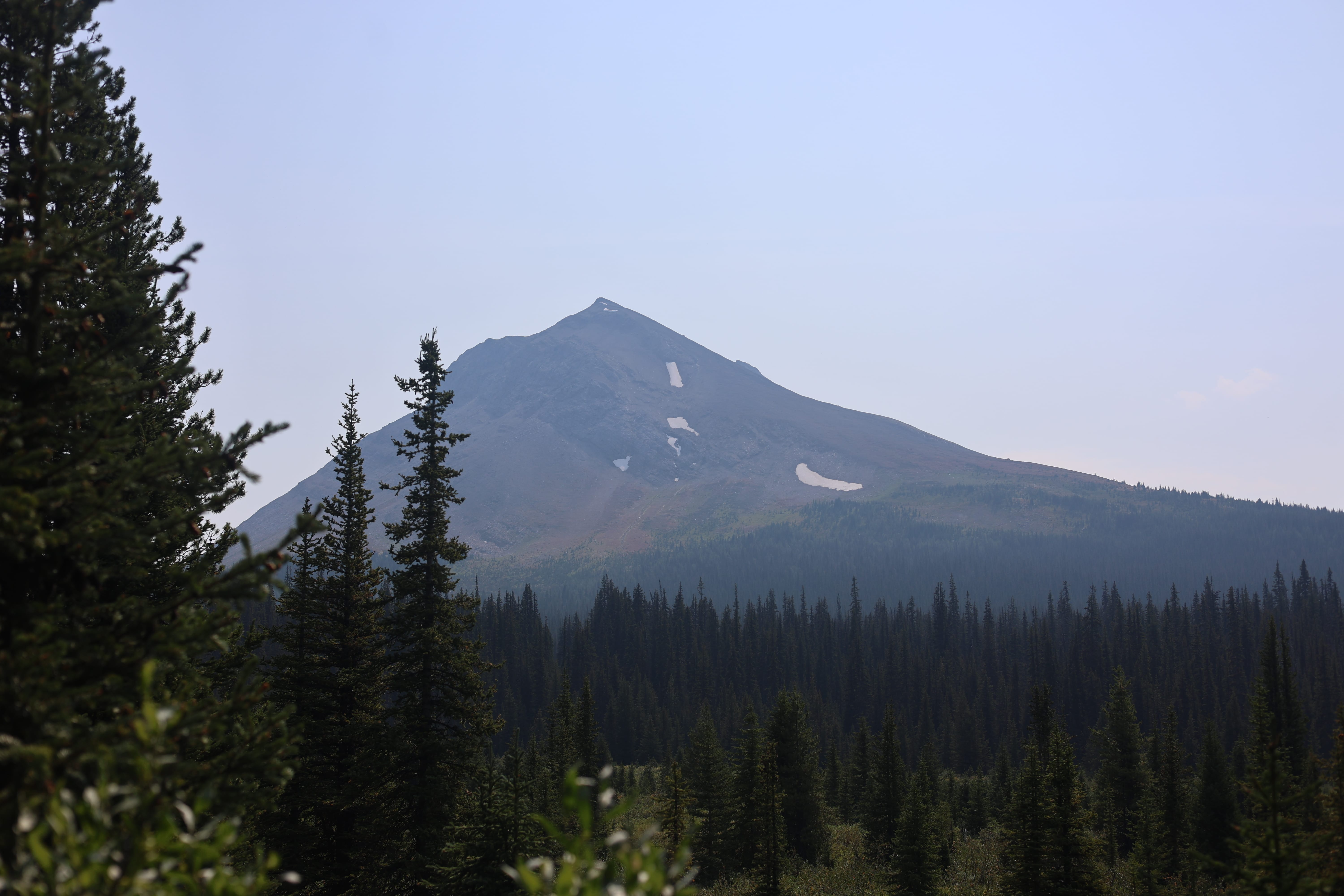
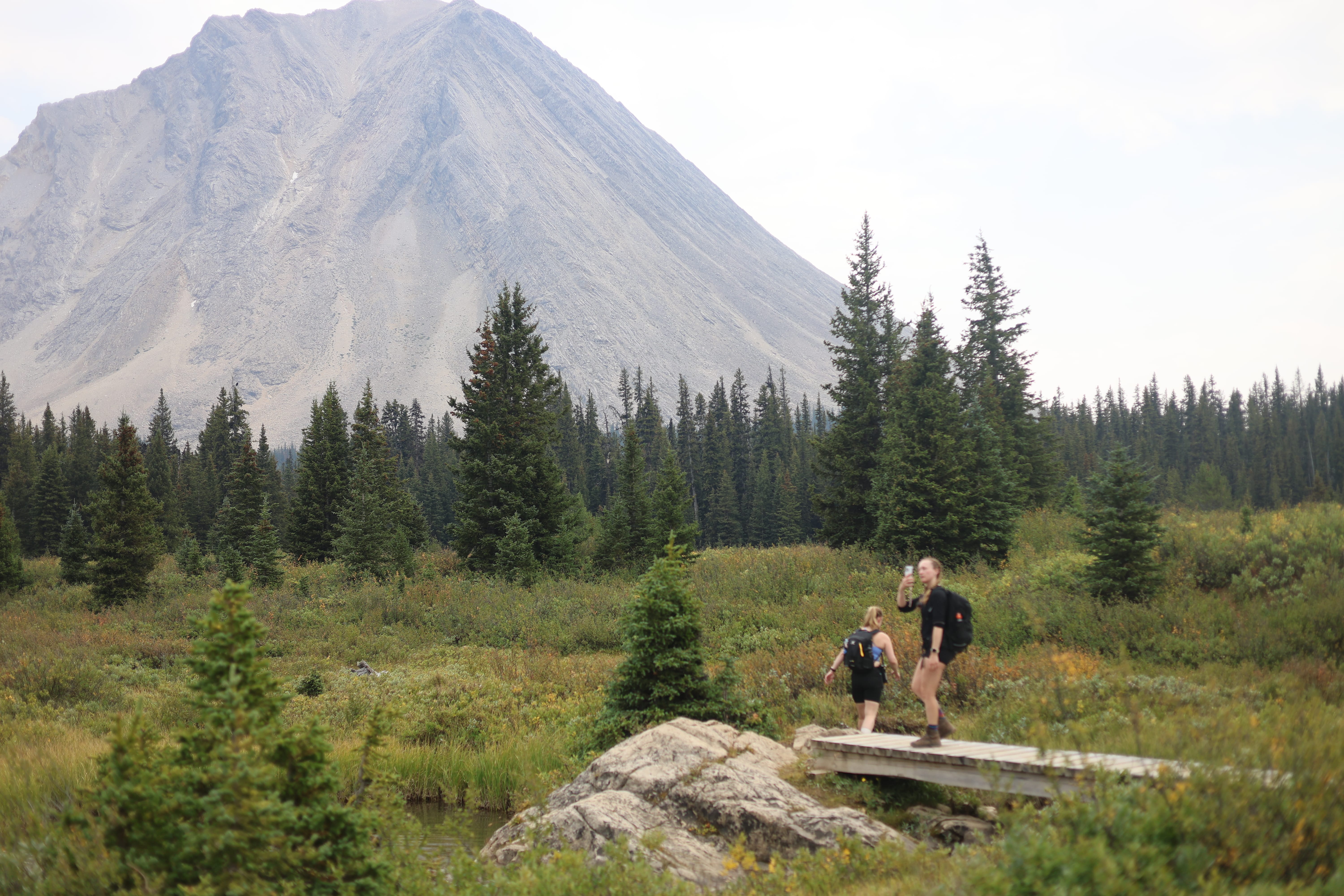
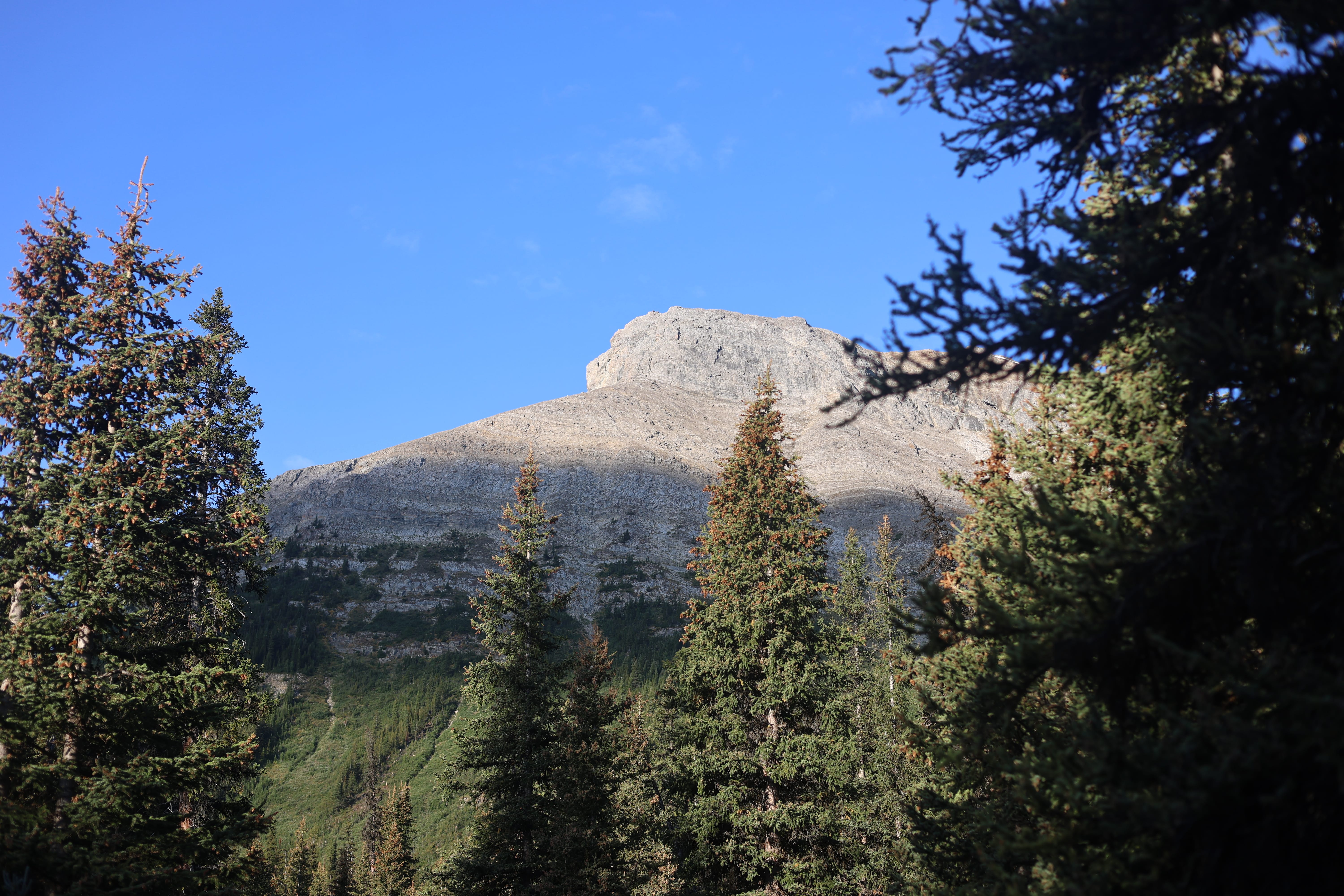
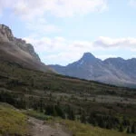
Immediately after that junction, things get a little bit tougher. The trail narrows further and becomes overgrown, though still easy enough to follow. More deadfall. Rockier still. More climb, inevitably. I saw no fresh trailwork, while several problem trees had obviously been down for several years. There were usually detours and I never had to take my pack off to crawl under anything, which was a great blessing. It was a climb with slowness enforced by trail conditions as much as cardio, slowly breaking through to the subalpine, climbing up the side of an escarpment well above Mosquito Creek. Standing breaks are advised to appreciate the beautiful views at will when you turn and look back, as well as to take one’s time over the narrow rocky trail. Careful going, and then you’re up. Two stone sort-of seats beg you to rest a spell, unless of course lightning is coming, and from that vantage point I could see it wasn’t. I used those stone seats, ate a bar, switched out my water bottles, and enjoyed myself. Smoke-hazed though the views were, Molar Pass was still very fine. Not overwhelming, but narrow and congenial, with big Molar Mountain unmistakable on the left and the twin canyons of Mosquito Creek to the northwest and Molar Creek to the southeast looking like the lovely, green, entirely natural routes.
That’s not really the highest point on the Molar Pass trail, but the difference is so minute that you may as well stop at those stone seats and treat it as the summit. Through the pass, the walk is pretty, with a few rock-hops of the future Molar Creek, and then one starts the sharpish descent into the Molar valley.
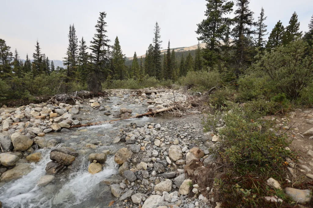
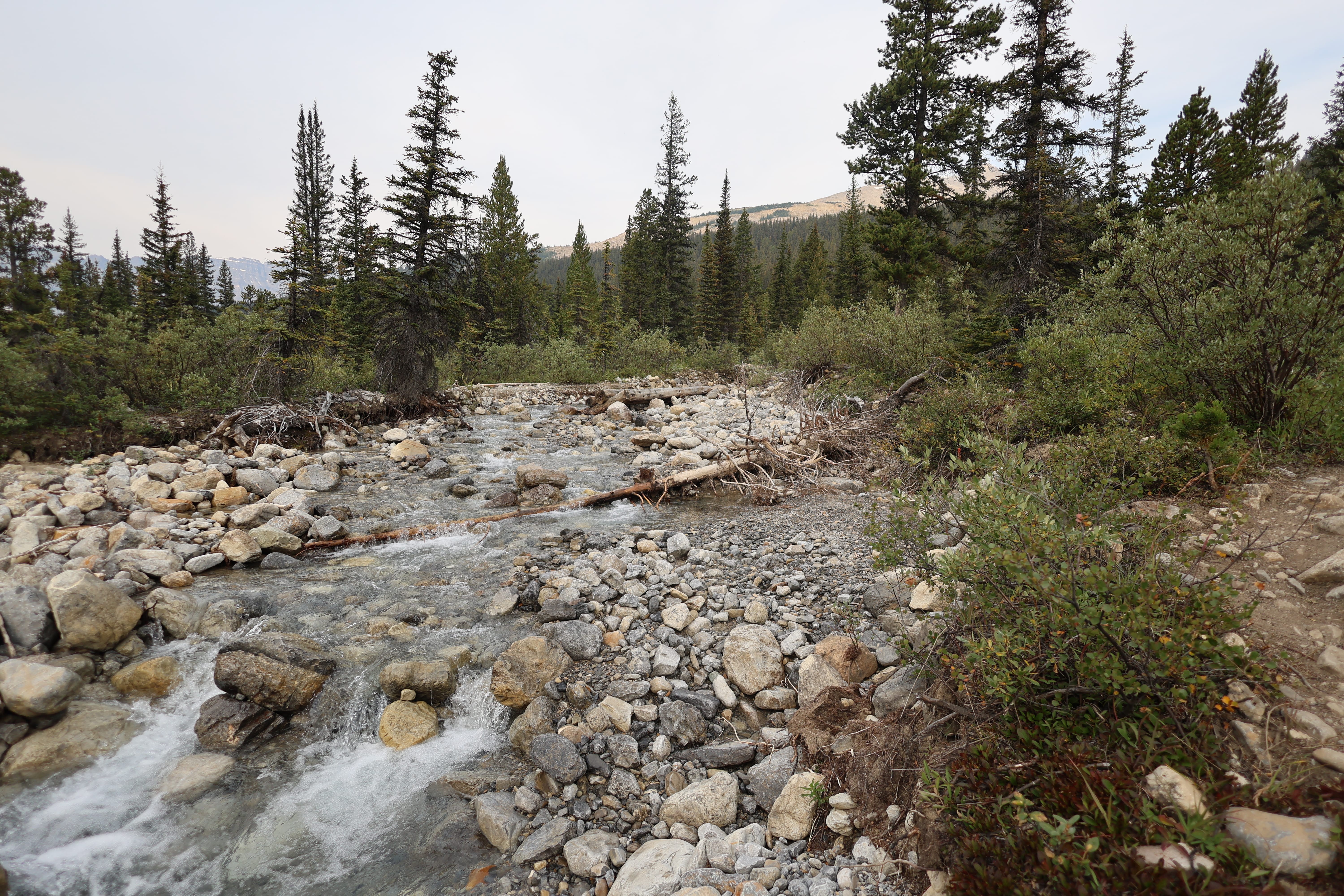
It is not immediately after that point that things get a little bit tougher. But it doesn’t take long. Slipping a step down the loose stone isn’t great, but the footing was still decent, and if you slip you’ll soon smack into the deadfall. There’s altogether more of it, sometimes requiring even more aggravating detours than previously, trail alternately narrow and overgrown or deep and muddy. Reaching the height of Molar Creek, the trail alternates between flood erosion and swamp, fading in and out at times. Flags popped up here and there, but they seemed more useful in the opposite direction. There were several rockhops and a few real fords of swift, calf-deep water. I wasn’t too bothered by them, knowing I’d have to ford into camp anyway, but it was chilly and another aggravation on a growing pile. At one point I lost my way detouring around a real thicket of ancient, gnarled deadfall, and paced back and forth for a bit regaining my bearings and making sure to hit the right trail in the right direction. I was also, unsurprisingly, getting dehydrated. There was little enjoyment to be had.
This must have been a nice trail once. It’s well-built and thoughtfully laid out, but to all appearances the park hasn’t laid a chainsaw to it in many years. I saw no even approximately fresh cutting, and the deadfall had obviously been down for a long, long time. From the condition of the trail and the lack of tracks I doubt horses use it much and it’s horses, both private parties and the park, who can carry the equipment and the fuel to make distant trails clear for hikers like me. Horses have less tolerance for deadfall than we do, especially when traveling heavy. I met a party coming from the opposite direction finishing the Molar Loop, and they reported that the trail between Fish Lakes and Molar Creek was even sketchier, with bogs, washed-out trail, and deadfall. The Molar Loop is a hike that normal people do, three days or four at most. The traffic means it’s all manageable; the trees are down, but the hikers and the animals have found the way around. But what, I asked in my first day stress, lay ahead, when I wouldn’t be meeting two or three other parties a day?
Then another descent, into the Molar Creek flats, for the mile and change to camp. Immediately after you break out into the open, things get splendid.
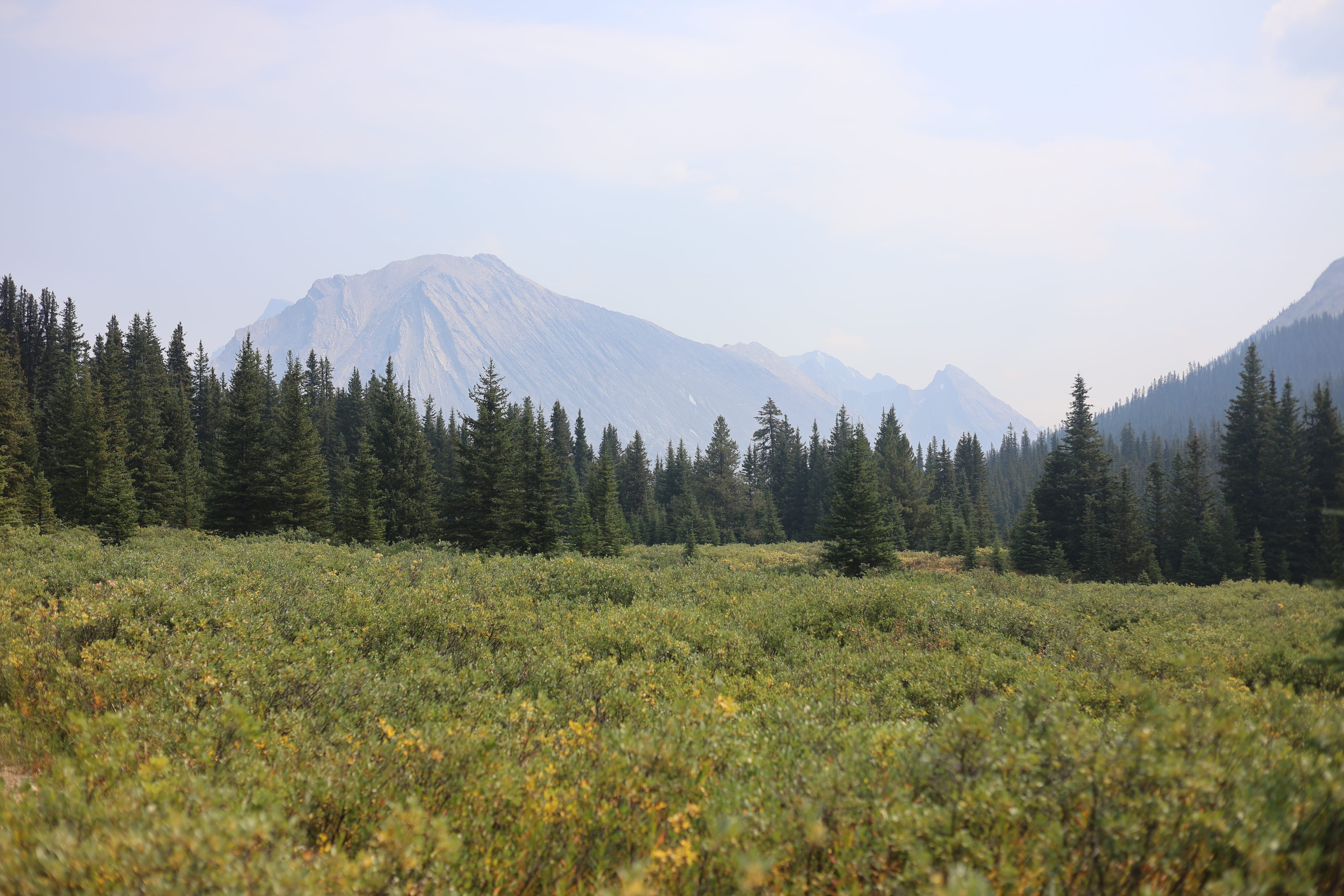
The trail still takes some finding here and there, but it matters a bit less on that broad flat when you have some idea what you’re doing and, anyway, for whatever reason the flagging increased to the point of being positively useful. Follow the creek and vibe-hike. Walk straight into the views. Smile like an idiot. What a fine way to end the day.
Such flats are wet, but my feet already were and would be again, and conditions were good so it was no problem. The only catch would be hitting camp, and I had my eyes skinned looking across the creek for a bear hang, for a picnic table, for a tell-tale gap in the trees; all those little things you get used to spotting when trying to spy a camp you can’t count on being clearly signed, bridged, and marked. I struck off the trail and walked nearer the creek for a better view. Molar Creek was obviously not going to be a really awful ford, it wasn’t deep enough, but it is fairly broad, and the trees on the far bank were interesting enough that without careful attention the signs of camp could, conceivably, go unnoticed.
It was the bear hang I saw first, a big modern steel-cable structure half-in-the-open, impossible to miss once in range. It soon resolved into picnic tables, paths to tent sites, the works. Success. I made a bee-line for the eating area, forded Molar Creek at a reasonable, calf-high spot, got wet but had no trouble, walked a game trail by the creek, and arrived. The picnic tables looked rather new, and so did the bear hang. There was some updated signage, and the trails had been tidied up. Clearly the park had done some recent work on this campsite, though the clearest was the fucking bridge over Molar Creek I only saw when I arrived at it.
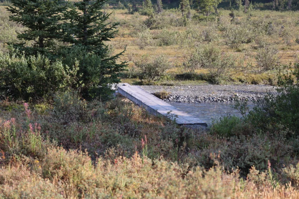
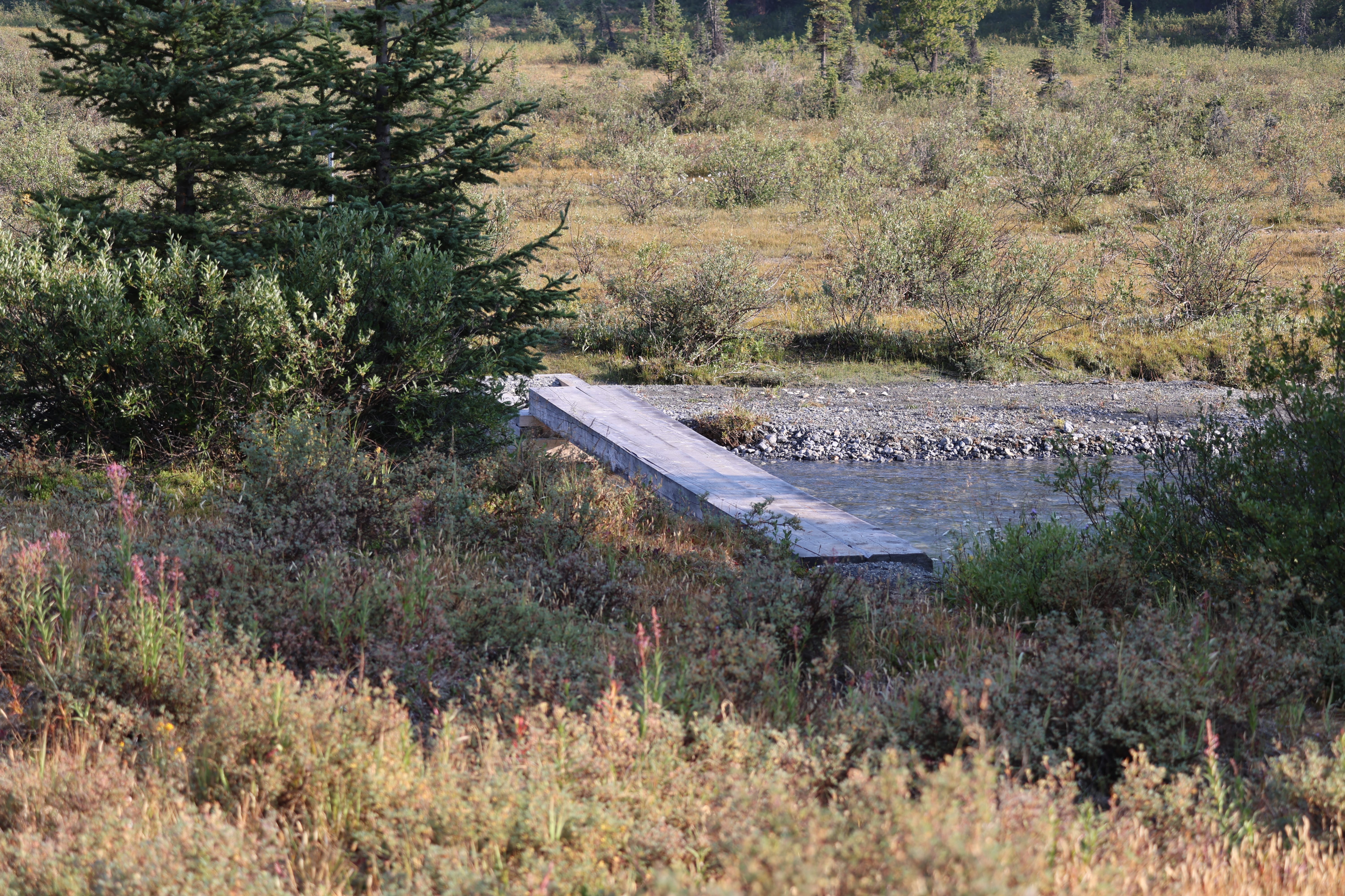
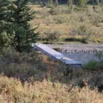
A bridge! A proper, Banff National Park two-log bridge, new enough that I have never heard mention of it, with one of its step/foundations not even filled in with gravel to the top in the usual way. There’s a sign and everything. And after that bridge, a couple brand-new hiker signs showed the way to the trail towards the Pipestone River, a trail that people have in years past had trouble striking through all the changing braids of Molar Creek. My 1978 second edition Canadian Rockies Trail Guide doesn’t mention a bridge over Molar Creek, though it hardly discusses the trail at all besides not recommending it; my 1990 fourth edition only has a bit more detail but at least implies there’s no bridge there. My 2011 ninth edition pretty much echoes 1990. I know from videos and accounts in the 2010s and 2020s that there was neither a bridge nor signs of a recent bridge for at least a decade, so you can see why I was surprised. It didn’t change my life, because my feet had already been so wet that the extra ford made no real difference, but I laughed.
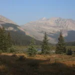
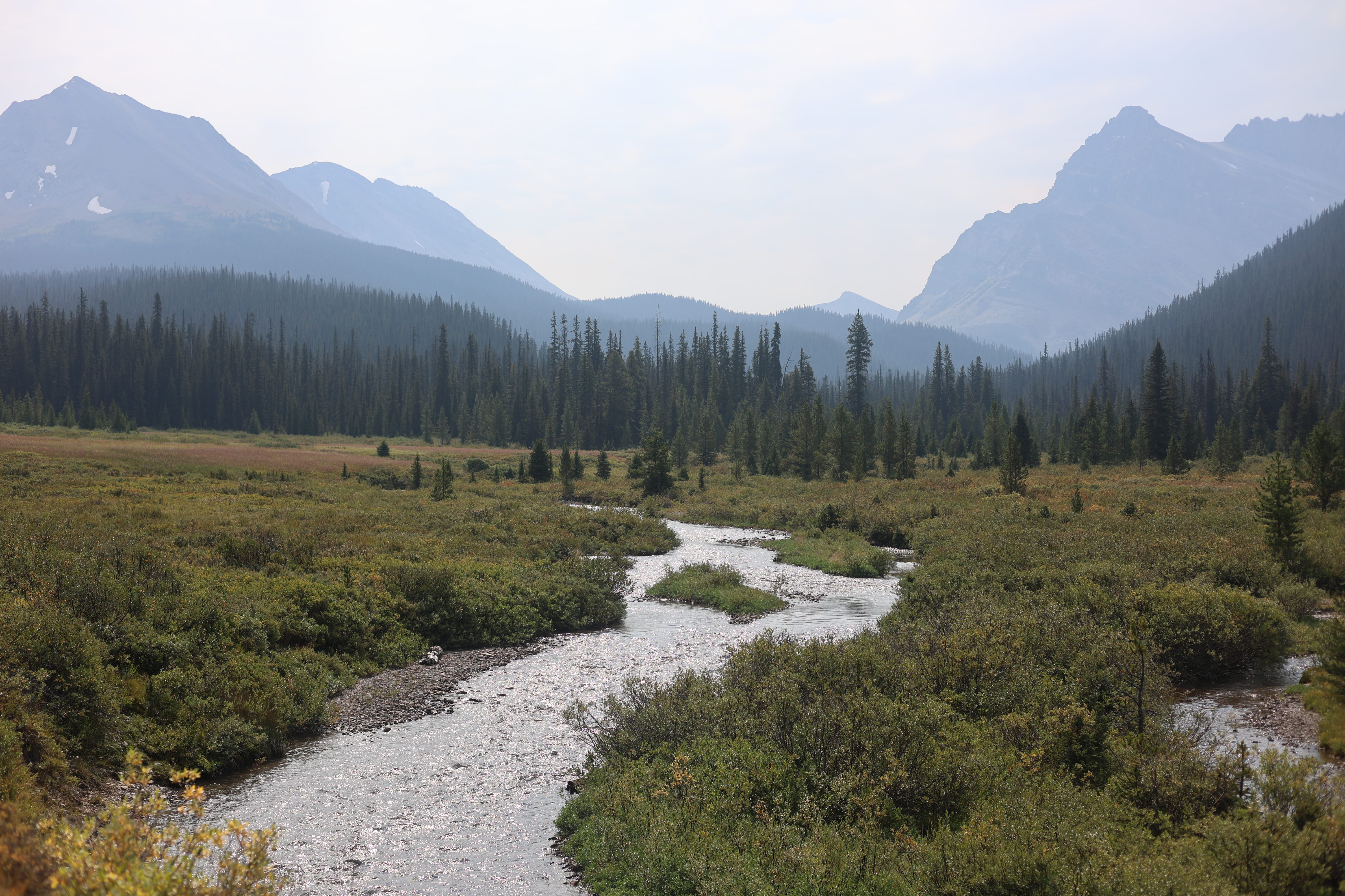
For all the depressing, and well-justified, words about this trail in the guides, as a campsite Molar Creek is good by me, bridge or no bridge. Big views. Handy water. Outhouse. Good tent pads. Wildlife. Privacy.
Talk about privacy! The campground had been 100% booked, but I guess the smoke drove everyone away; I spent the evening always expecting someone to come by and nobody did. In fact, it was the strangest thing; I did hear voices. I swear a woman or two came in as I set up my tent, I heard them talk, but assuming I’d see them later I didn’t exactly sprint out to say hi. Never saw them, neither hide nor hair. An hour or so later I heard a man so clearly I made out some of the sentences; I was even pretty sure he was on a radio. Never saw him either. Never saw anybody. Parks Canada wardens, maybe, on their way from Pipestone patrol cabin on some inscrutable errand of their own? But the flats around the camp, while brushy enough to perhaps conceal a hiker or two going quick in dun Parks Canada clothing, are still pretty open: I went out, and peered around, and nothing. It was strange.
Gave me something to think about while I set up my X-Mid for the first time in eleven and a half months, grabbed a bag of clear water from Molar Creek, backwashed my filter into working order, and ate backcountry chili with beef because it’s a stinky, antisocial meal, I was alone, and by gum I felt I’d earned it. It had been a good, successful day, smoke, stress, and all. Somehow I had Molar Creek to myself, which I had not expected, and there was a tickle in my throat that was probably from the smoke, but I turned in feeling good for the last time all trip.
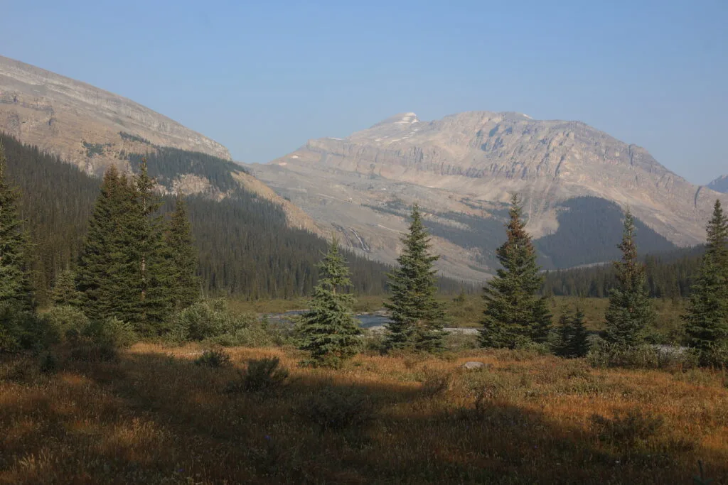
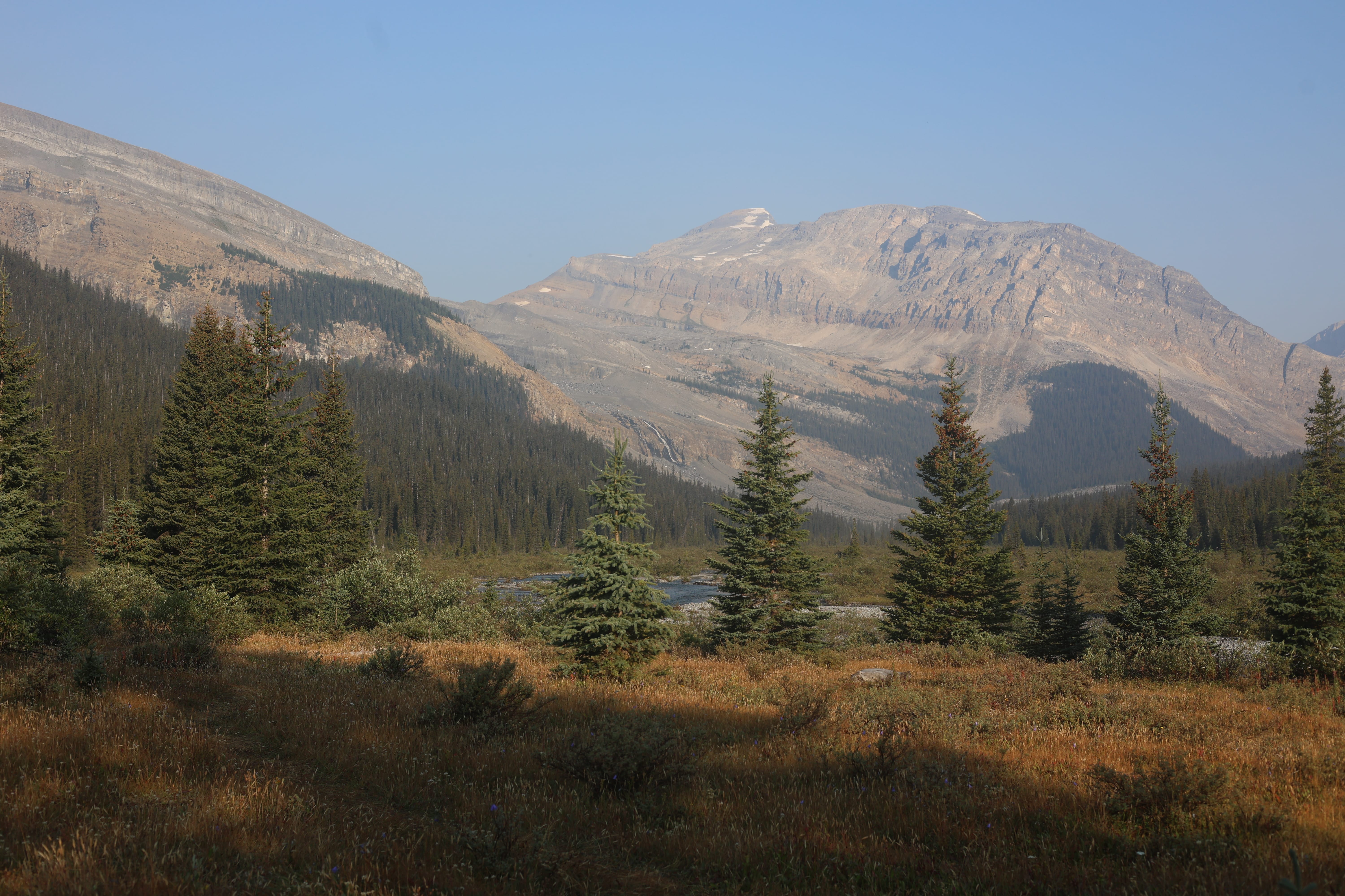
The night passed very poorly. Head, lungs, stomach, the works. I was very comfortable physically, the night was perfect, and I basically did not sleep.
It was a haze of miasma, fever, and misery. What do I remember? The largest porcupine I’d ever seen started snuffling around my tent. I had of course been porcupine-aware in setting up camp, and he spooked easily, but that was no help to sleep, knowing there was a bundle of quills and salt-hunger the size of a modest dog who knew I was there. By sunrise, I didn’t think I could put it down to the smoke: I was sick. It felt like the flu. I was a sneezing, headachey, fevery human mess.
It is unwise to venture deep into the backcountry without being aware of one’s options. I was sick. Okay: push on? Into seven more days of hiking, usually pretty tough, possibly getting weaker? Heading up Divide Creek with a back sore enough that I wouldn’t even want my pack on, perhaps? It would probably be fine, but not fun. Moreover, the Garmin weather forecast gave at least the possibility of severe weather three days down the line; I didn’t believe it, but it was things like “snow and thunderstorms, 30% chance” and it would make nothing at all any easier for a sick man if it came. Okay; turn around? Back the way I came, up that miserable trail, going uphill rather than down through the worst of the deadfall, perhaps gatecrashing at Mosquito Creek camp to split the day up? Fine; then I hit the Icefields Parkway and try to hitchhike back to civilization with a disease. All that for trail I’d seen before and disliked. Or: go forward but short. Take a day off at Molar Creek, a campground that I knew was congenial and didn’t think was going to fill up tonight after being empty except for me the night before. The next day, decide based off condition if I’d continue into the Red Deer River valley and fart around, or just hike out over Boulder Pass through the usual Skoki line. It would be a real day of hiking to get there through the little-used trails over the Pipestone River, but there were some encouraging reports that those trails could be surprisingly easy, and once in the Skoki it was blue-chip backcountry with a vengeance, feet never wet and route everywhere obvious. That would spit me out near enough to Lake Louise that I could arrange a way home without much fuss, and give me a few days in the wilderness anyway.
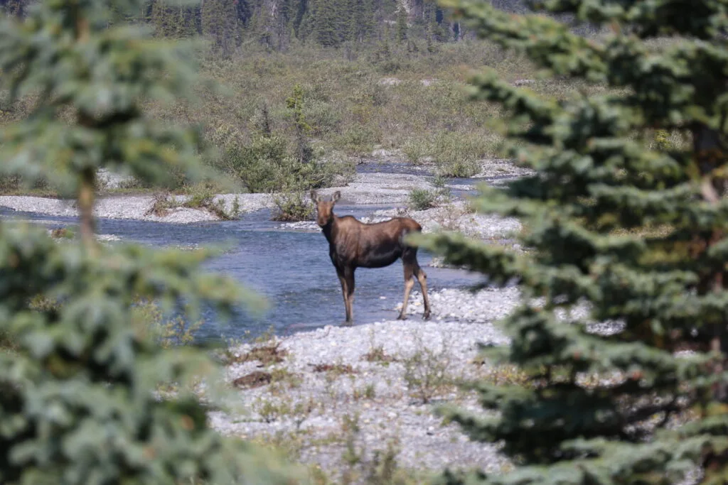
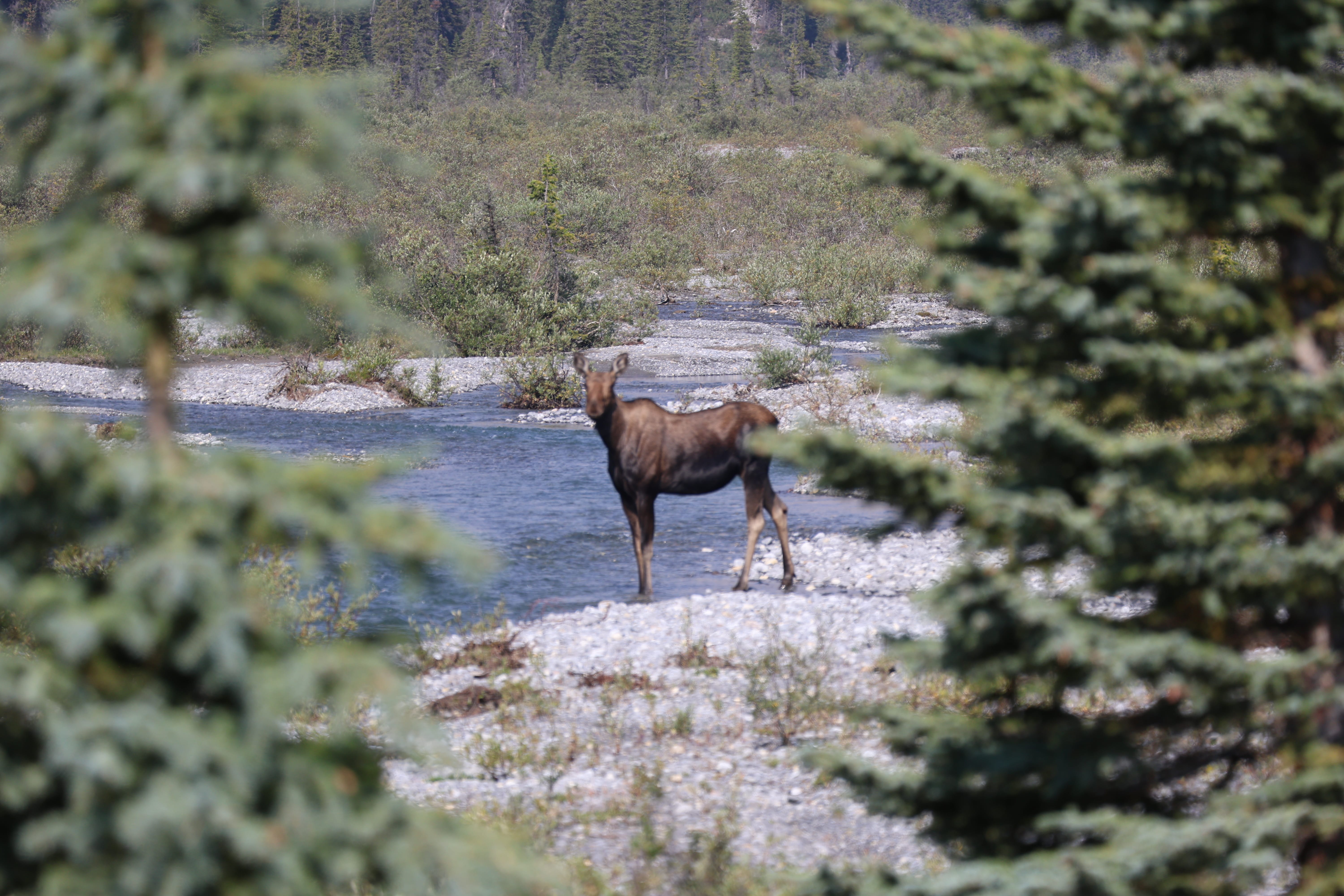
I took the latter path and had what was actually my first day off in the backcountry. Not that it was super enjoyable, as I started to cough and my head spun, and I went into the tent for a few naps, but otherwise I enjoyed a pleasant day of reading, loafing, French press coffee, and doing nothing. I had a brief staredown with a moose as he prepared to ford Molar Creek. I didn’t tell him about the bridge, but I had brought a long camera lens along just for this sort of opportunity, and snapped some lovely shots of him assessing me from between the trees. Or, at least, they would have been lovely if the moose had been in focus. It was that sort of trip.
No humans stopped in, not even mystery voices. It was a day of pure rest, a day I don’t even remember, a day I’m nevertheless glad I took.
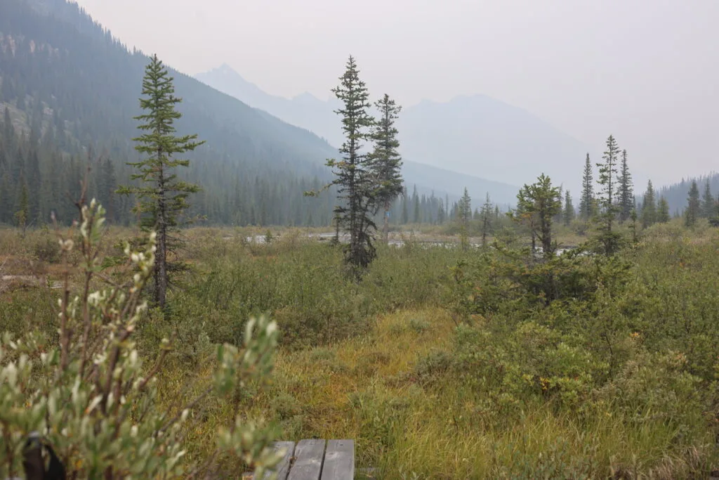
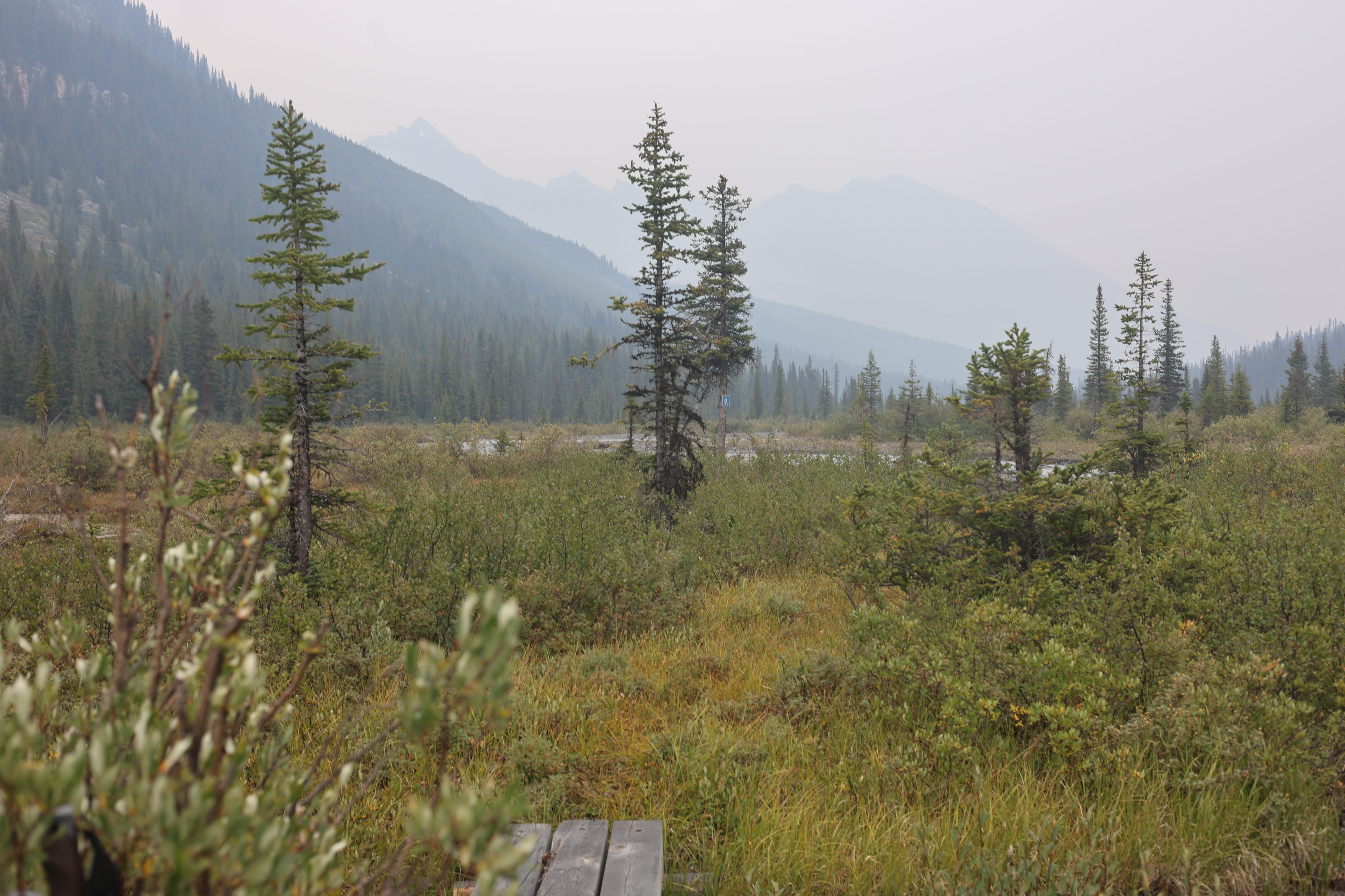
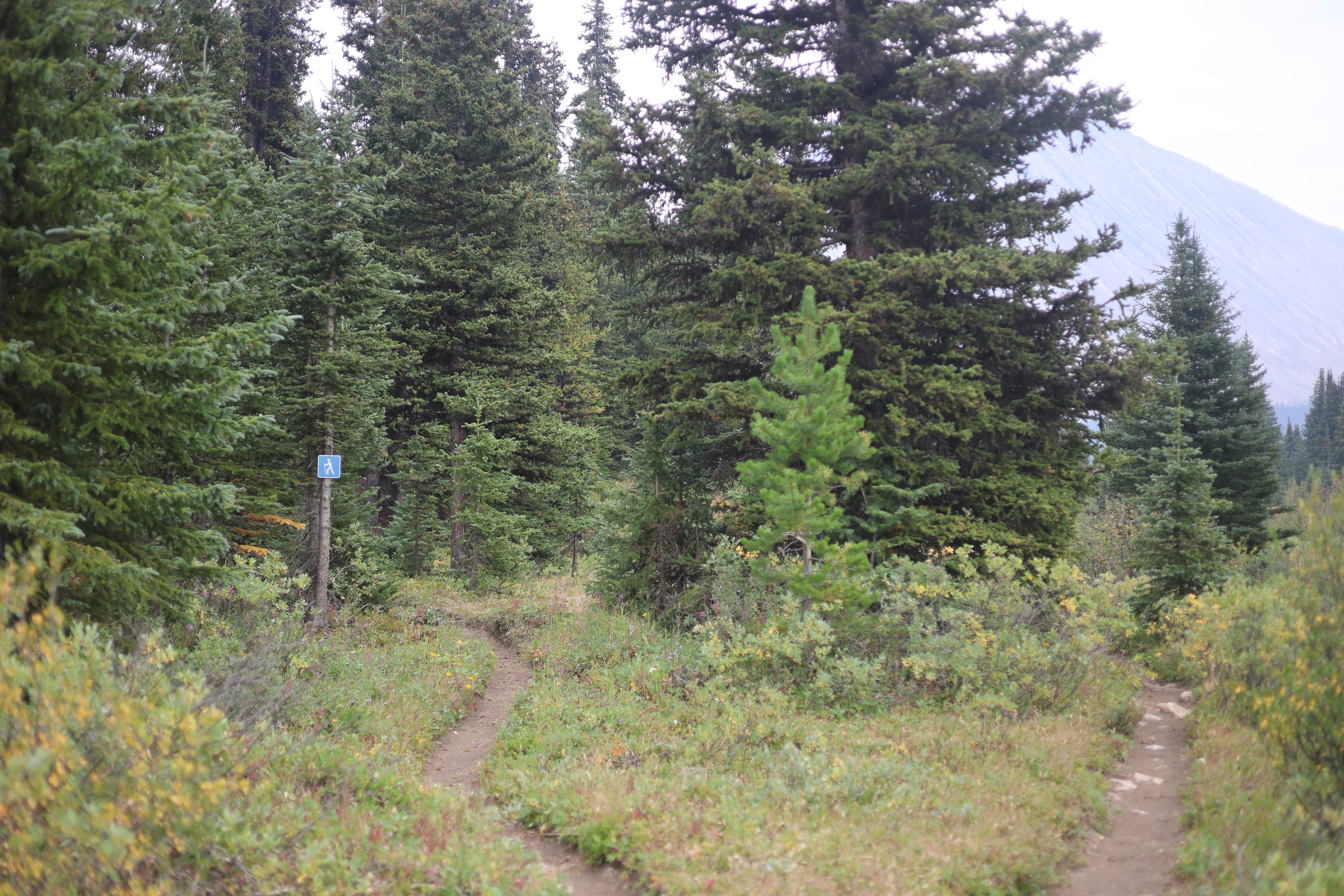
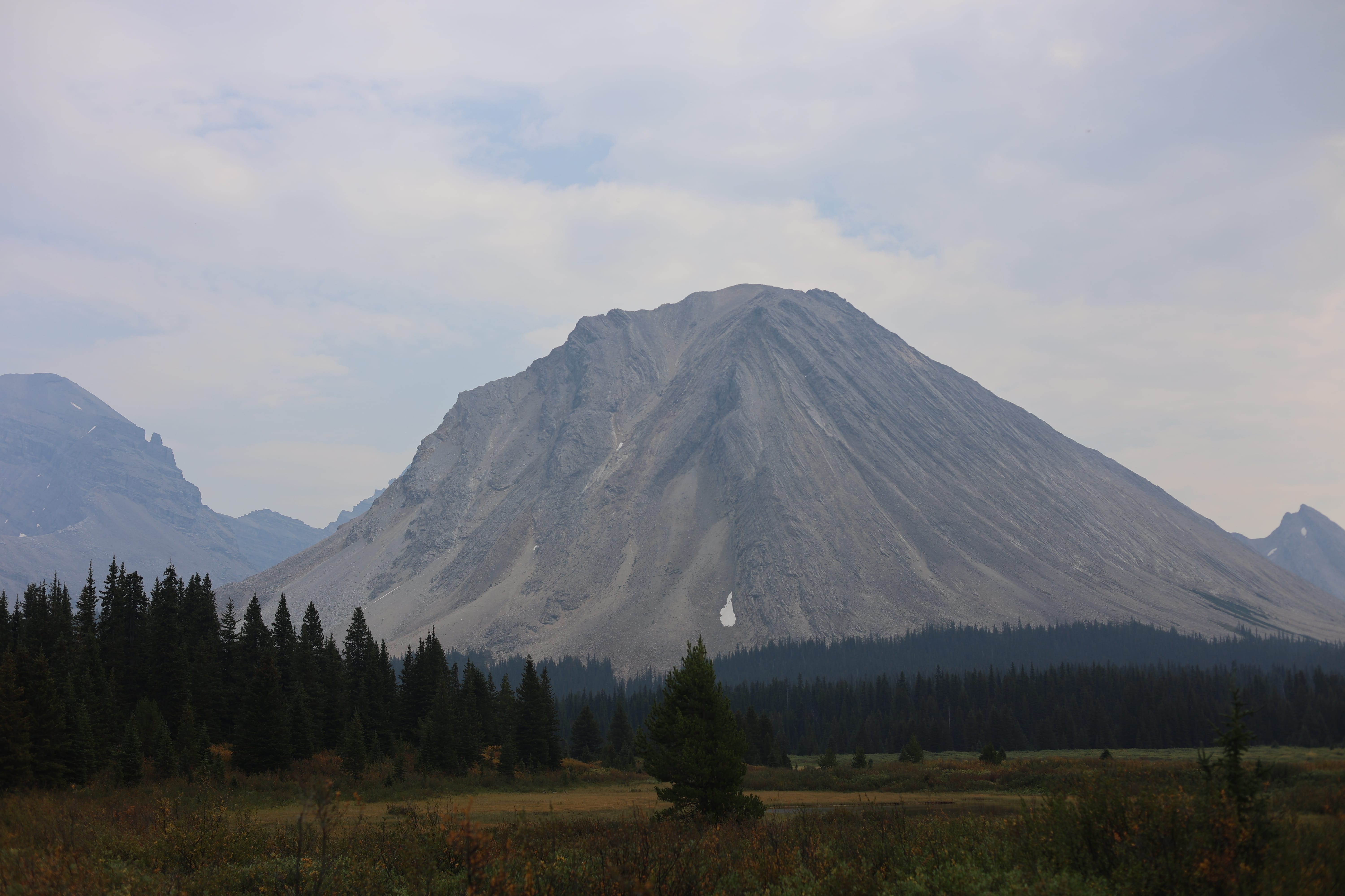
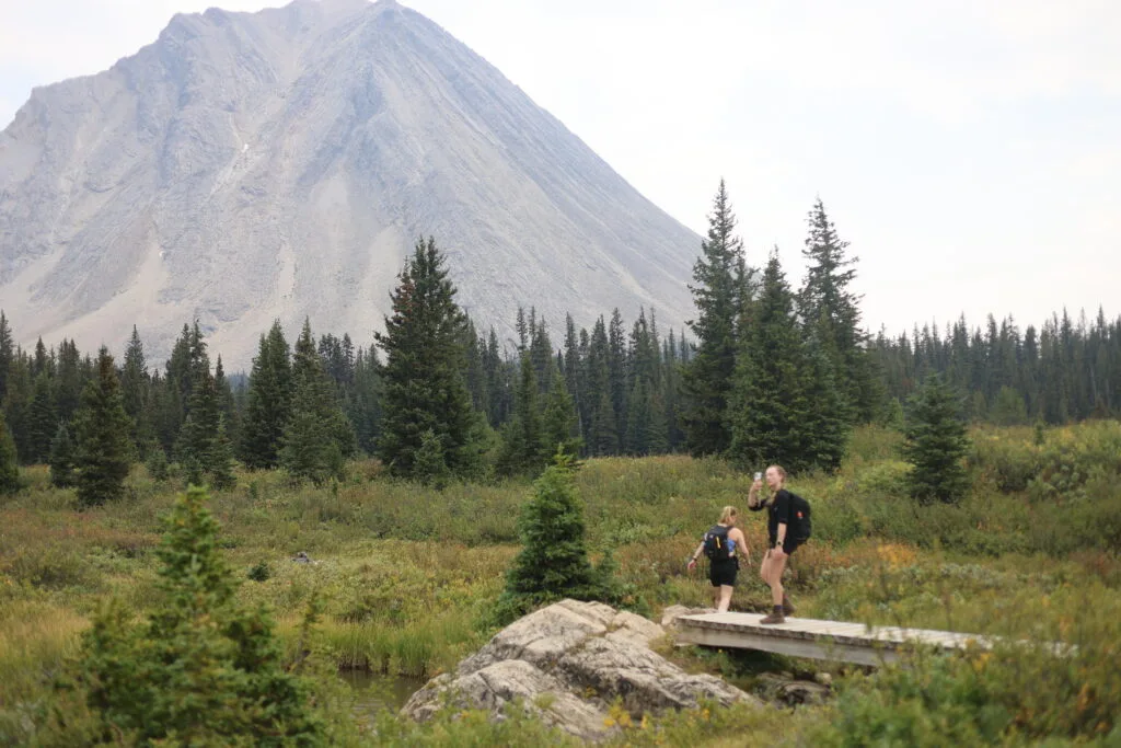
So my hike was off. No Red Deer–Clearwater Circuit for me; there was no longer time even if I’d miraculously recovered. Which I didn’t. I had camp to myself overnight again, and hit the hay obscenely early, where I spent the night at least sleeping, if you can call tossing and turning on a closed-cell foam sleeping pad through a plethora of wild fever dreams “sleeping.” They were the ones with weird hallucinations that you at least recognize for being hallucinations while they happen, that spacey I’m-not-quite-here feeling. I felt the fever peak, I felt my brain and my body return to unity, and I awoke frail, but better than yesterday. Also it was raining.
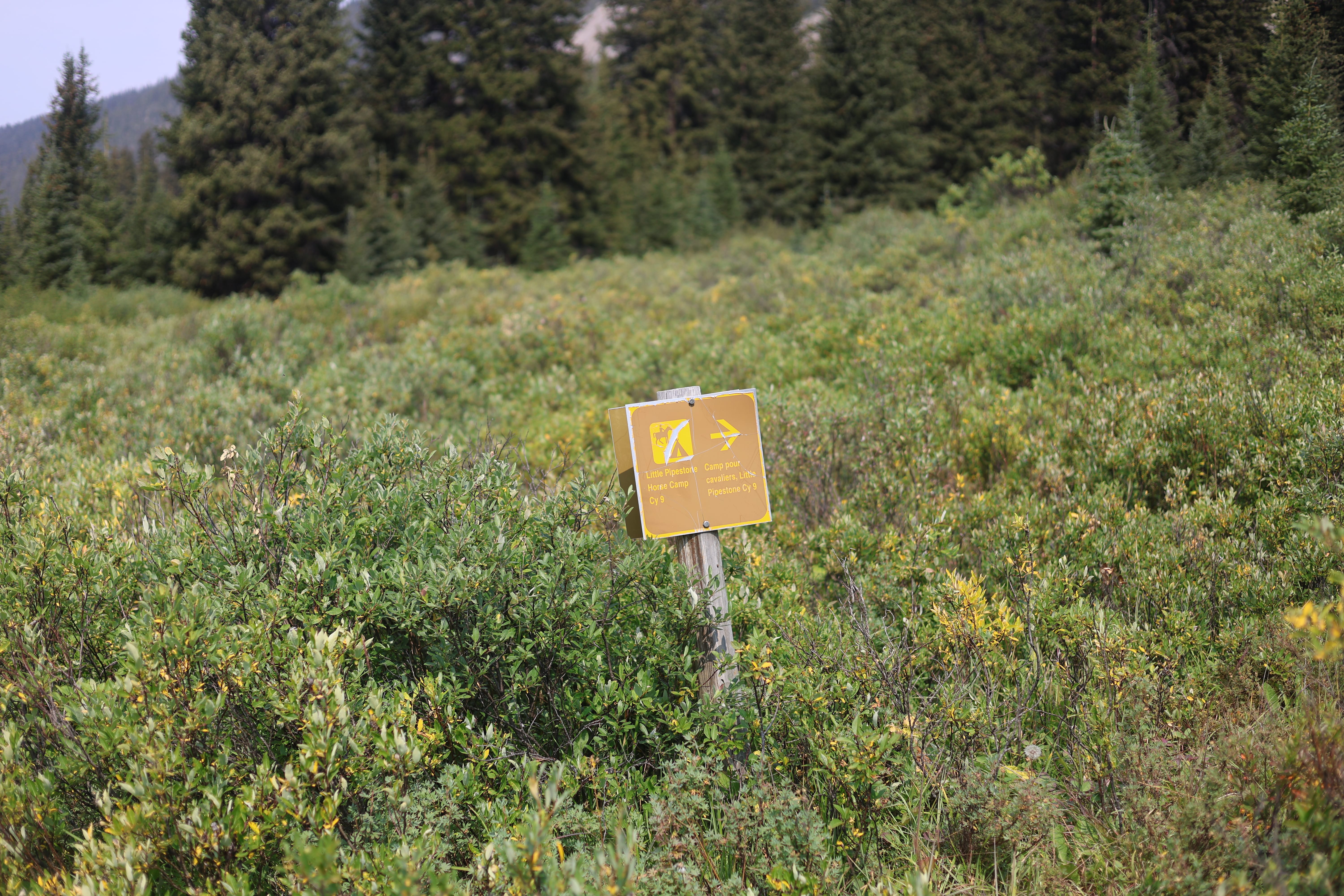
This made me plan on the shortest day I could get away with: Merlin Meadows, in the Skoki Valley. Still a decent day but eight miles or so rather than ten. Still a ford of the Pipestone River but that was life. Showing up at Merlin Meadows without a reservation would be not nice of me, as it’s a popular site, but with the smoke still in the air I felt I could count on one party giving up their tent pad and, anyway, my safety was my responsibility and the acceptable limits of compromise for safety’s sake certainly include a bit of overflow camping. The catch was that, while the maps showed a trail between the Pipestone River trail and Merlin Meadows, skirting down the banks of the L’il Pipestone, I had never heard of anyone taking it or read anything about it. I had heard, and boy that word deserves the italics, that Skoki Lodge was sometimes resupplied by horse pack trains heading up the Pipestone River, and if true, that mysterious two-mile trail would be the most direct route between the Pipestone and the lodge, so there was reason to think that the trail may be clear. But I would not know until I got there.
Actually getting there would not be no trick. Hiking from Molar Creek to the Pipestone River is said to involve difficult, wet, obscure, and irritating trail, washed out by the wandering, sometimes-deep channels of Molar Creek. I knew Parks Canada had done some work; I could see the bridges and the signs, but how far did it go? Then the ford of the Pipestone, which isn’t an easy one, though at least with a big river like a little morning rain wouldn’t be swelling it up too badly. Then, the seldom-hiked trail from the Pipestone into the Skoki. Possibly cleared by horse pack trains; if so, it would be clear and easy to follow, though doubtless boggy, from the Pipestone to Merlin Meadows.
Anyway most of my assumptions were wrong.
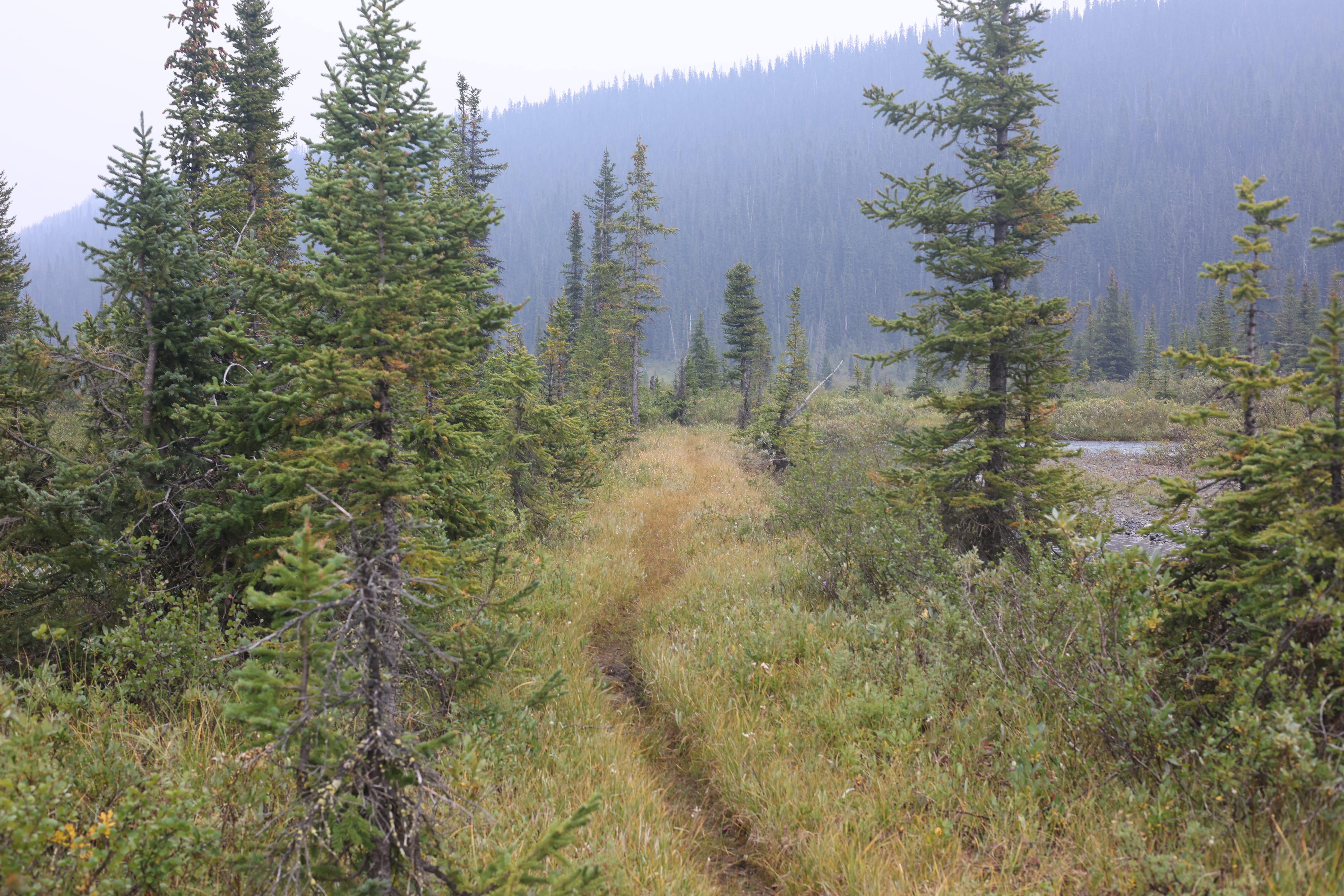
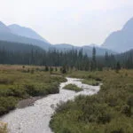
Getting away was indeed easy. I was not too sore, was able to pack up and heft my load in decent order, and then between the bridge over Molar Creek itself, the hiker signs, and one bridge over one of those tributaries, it was straightforward to find the weary, wet, washed-out tread beside Molar Creek. Be sure to stick to that tread, for the trail goes into the trees and you’d hate to miss it. But until then it is a wet, but wonderful walk up the creek. I am really not sure why Banff bothered to put in those two bridges, since you have to cross so many (surprisingly deep!) side streams that your boots are guaranteed to get wet anyway, but oh well. Enjoy the treats you get.
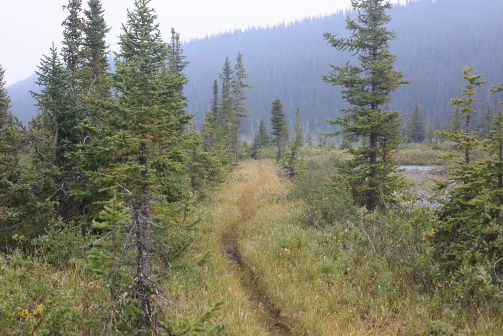
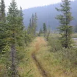
Then the deadfall starts. Oh, for Parks Canada to have a trail budget again! Oh, for some horses! I would not call the trail really bad, for as on the leg before all the deadfall can, in the end, be negotiated without trauma, and the footpath is usually good. But my wind going uphill, not great at the best of times, was not improved by illness, and still less by all those tree-enforced step-overs and go-arounds. Oddly, there were a lot more trees down on the Molar Creek side of the little shoulder than the Pipestone River side, which was a lovely surprise, because when the trail was clear it was genuinely easy walking.
At one point I got twisted-around again and started down an old trail towards Molar Creek. It had been a trail; there was still some tread and I saw old cuts. But it hadn’t been the real route for decades, probably destroyed by a shift of Molar Creek. Almost at the level of the creek I decided this was obviously wrong, and had to turn around and climb back up the mossy, dirty shoulder. That was “fun.”
I was eager to reach the Pipestone River. It is reputed to be sometimes difficult, and letting rain and afternoon glacial melt swell it up would only make things worse. In a pinch there’s a clearing you can camp in on the near shore until water levels go down in the morning, but nobody wants to do anything in a pinch. Fortunately, while there sure is a lot of water in the Pipestone, on my day it did not present a formidable obstacle. It was mid-August, which is good but not peak river-ford season, and there had been some rain; nevertheless it was not too swift, and I had my choice of a few fording points. I crossed directly opposite the warden cabin, and for a few steps the water reached the middle of my thigh, but while I doubt that such immersion is recommended as a treatment for the ill, as a crossing the water moved slowly enough, and was clear enough, that I never worried.
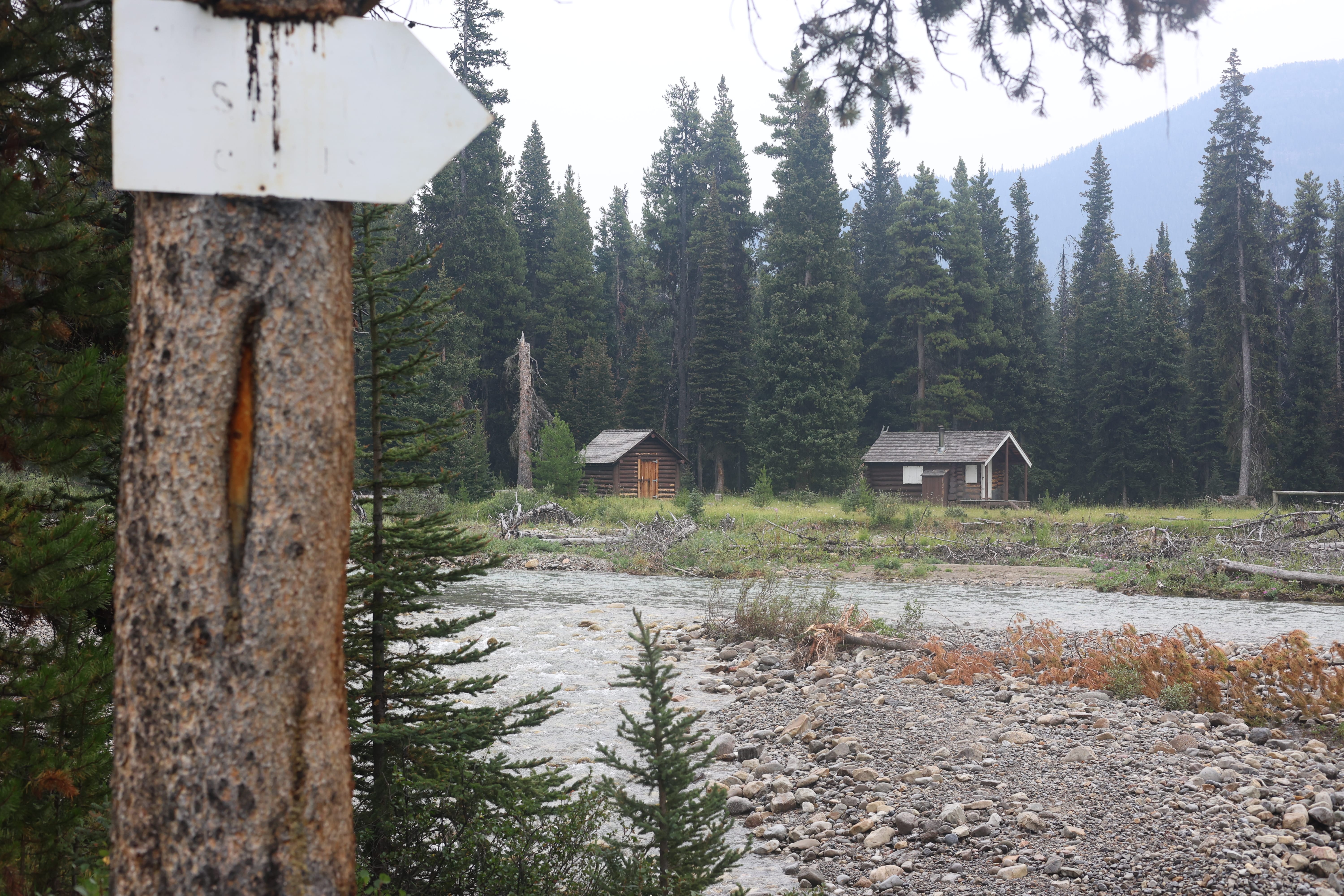
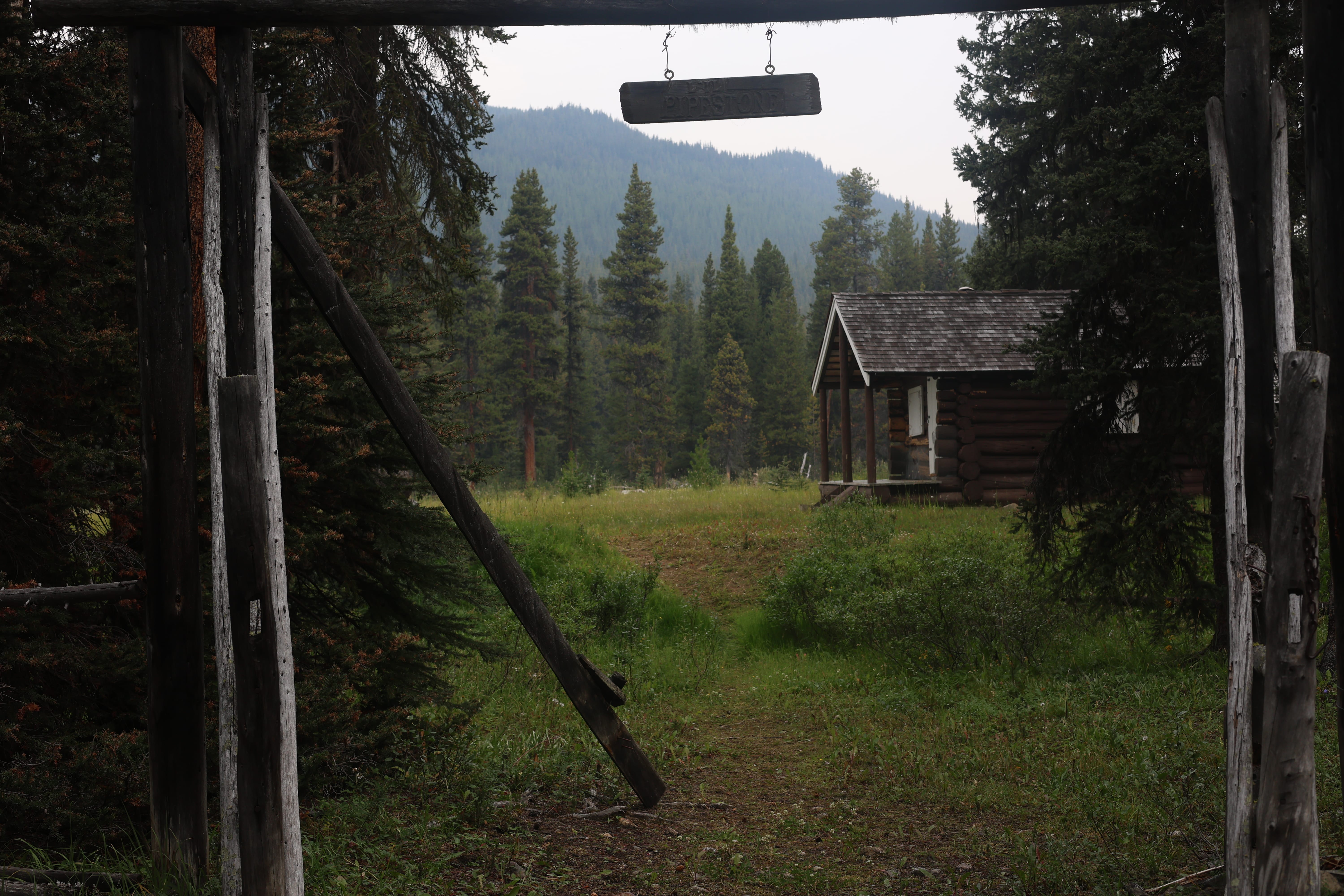
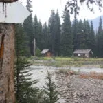
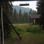
The squat little warden cabin after the crossing was, of course, locked up, so I borrowed their veranda for a rest. The horse corral had gone to rack and ruin, the views are worse than usual for a warden cabin, and apart from the very cute “L’il Pipestone Cabin” sign above the horse gate it’s not much of a place. However, there were quite a few bootprints, other than mine, in the gravel leading down to the river, so somebody had been there. I wondered about my mystery voices from a couple days earlier.
I passed the junction with the Pipestone River trail proper in a few moments, and optimism reigned supreme. I was sore, but had beaten the ford and was ticking along as well as could be expected; better, perhaps. My plan B, if I’d been just a wreck, was to camp in the area of the warden cabin because what Parks didn’t know couldn’t hurt them, but that particular malfeasance would not be necessary. And if the stories about Skoki Lodge pack trains following this trail were true, I could count on the worst being behind me.
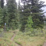
It was not. There were hoofprints in the trail, but light and single; an equestrian or maybe two on a ride, not a pack train riding heavy. They could handle bashing through the pines around the deadfall in a way a pack train couldn’t. The trail gets up above the water and is, again, great walking when clear, but some of the detours were truly obnoxious. It was better than the day before. There was some cutting dating to the past two or three years, it could have been so much worse, and in normal conditions I’d have gone “aww darn,” frowny face, and pushed on, but I was just not in the mood.
That boded ill for my spur trail to Merlin Meadows. The trail itself is signed and obvious, and I suppose you could use it if you knew the way, but I did not; not even a nominal GPS track to go by. I took a shot anyway, descending through the worst deadfall yet into willow-filled meadow. For a little while I held some sort of trail, past one washout by an elbow of the L’il Pipestone, but it soon vanished entirely in the grass and swamp. There was no tread, no cairns, no flags, no nothing. I could have bashed through the willows beside the creek, for I knew that was the general idea, but at the far end of it was a stand of trees into which the trail must go. I could not see a marker, but that was no surprise since there was no marker on the stand of trees I’d come out of. Reaching them, I’d have to bumble around for a trail, trust it was the right one, and be sure of another mile or so of properly nasty deadfall plus who-knows-what. Skoki’s pack trains surely come a different way.
So Merlin Meadows was out. I turned back, laboured back up the hill and over the trees, again, saw one orange-ish saw cut which just raised more questions I’d never get answers to, and returned to the main trail which, whatever its vices, did at least exist. In about a minute it veered into the same willowy meadow and went alongside the edge of it for a spell; had I known that, I could have cut up to the trail through the willow in about a minute once I’d given up rather than retrace my steps and renegotiate crappy downed timber.
One of those days.
I was on plan D or E or something, but whatever the letter the next idea was Red Deer Lakes; further away, but not so far that I didn’t think I had it in me. The map did have a different turn into Merlin Meadows in a few miles, but that route and Red Deer Lakes were close in distance, with Red Deer offering an easier hike out. Moreover, while I had reconciled myself to “borrowing” a tent pad under the circumstances, I didn’t like it, and I knew Red Deer Lakes had a very large dirt camping area where one more tent probably wouldn’t hurt anyone.
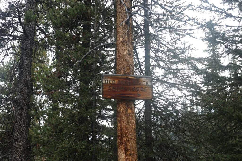
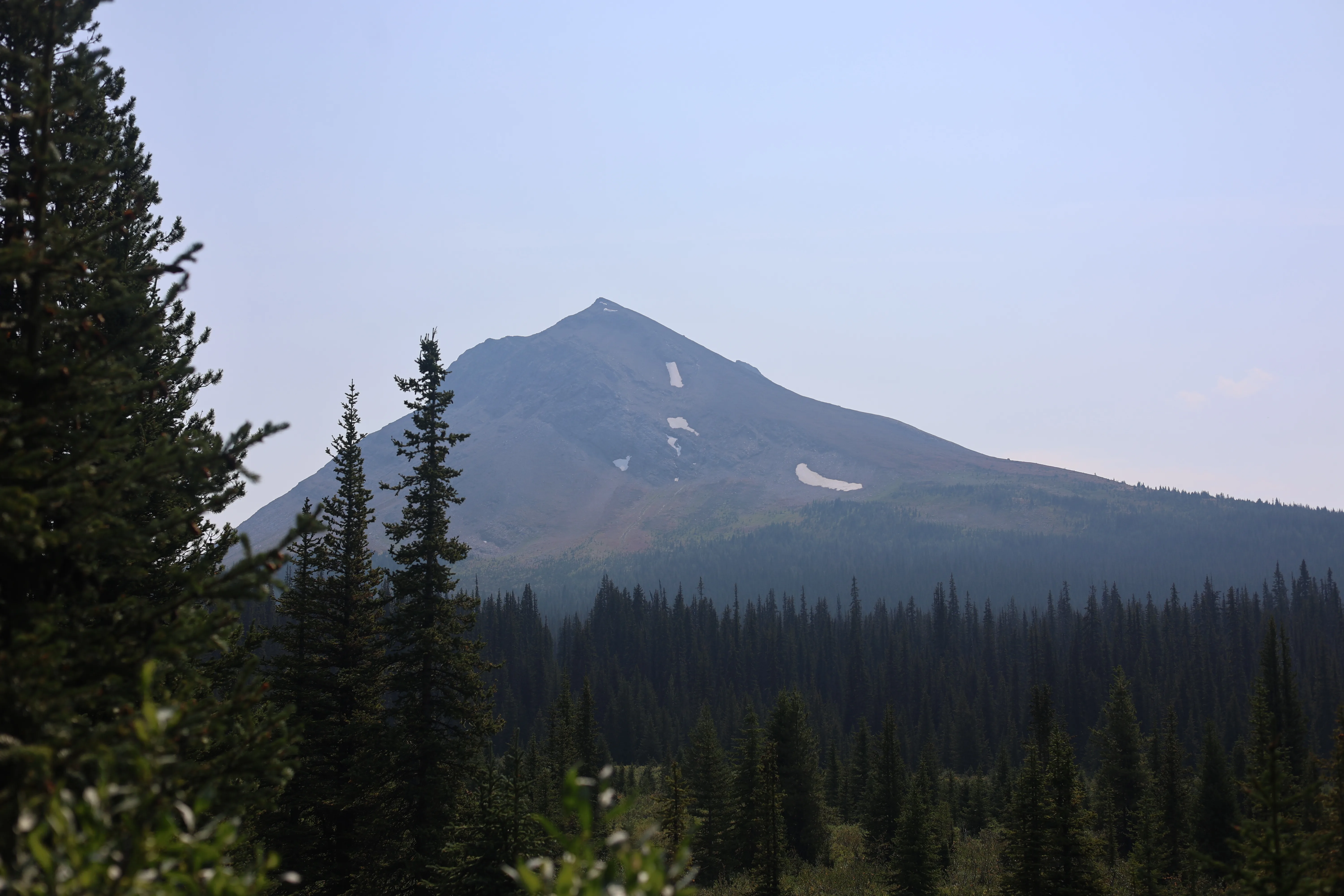
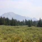
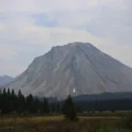
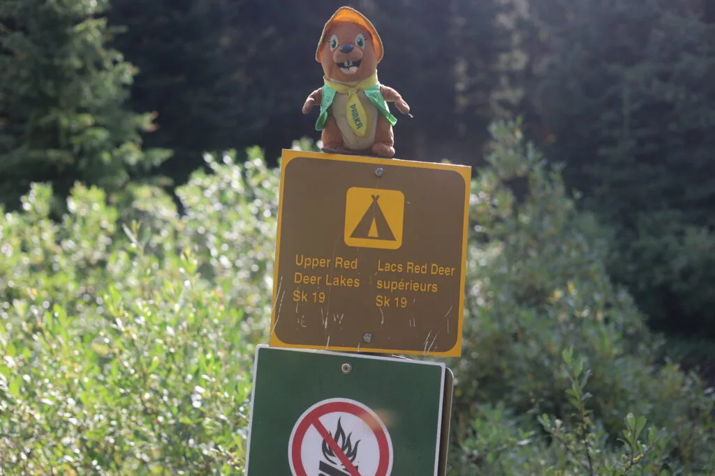
I was cooked. The uphill grade of the trail tore me up, and it was not nearly severe enough to deserve it. I took more breaks with more resignation. It was not nice. But at some point the trail stopped having trees across it. It broke out into a meadow with killer views of Oyster Mountain, and as I marveled, a couple day hikers (German, of course) overtook me, the first people I’d seen in over 48 hours. It was getting Skoki-y. It was just a matter of sticking it. Passing the sign pointing to the upper Red Deer valley, frankly, made me think: did I have a few more miles in me to get a taste of the random camping zone? No. The sign saying camp was in a kilometer brought great relief.
Bailing on a hike is not a proud moment, and one doesn’t want too many rewards for wimping out. From that perspective, it’s a good thing Red Deer Lakes is a crappy campground. Buggy, limited views; big, practical, and charmless. But I was there, an important step to getting home.
There were two other parties in camp, all normal and civilized. I kept my distance, because sick, though all the sneezing probably discouraged conversation anyway. I couldn’t imagine that my illness was about to develop into something serious, but all the same, under the circumstances I was glad to have company even if I hardly interacted with it.
My first aid kit has a few basic drugs, and while I have given them out I have never popped a pill myself. But I was bagged, and felt like I needed a decent night, so in another first I swallowed a sleep aid before bed. I doubt nine out of ten doctors would recommend a river ford and a ten-mile hike for a sick man, and sometimes nine out of ten doctors are right.
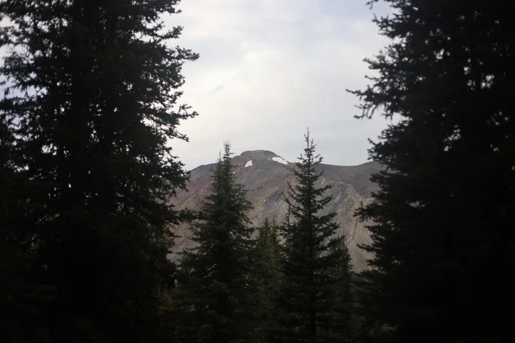
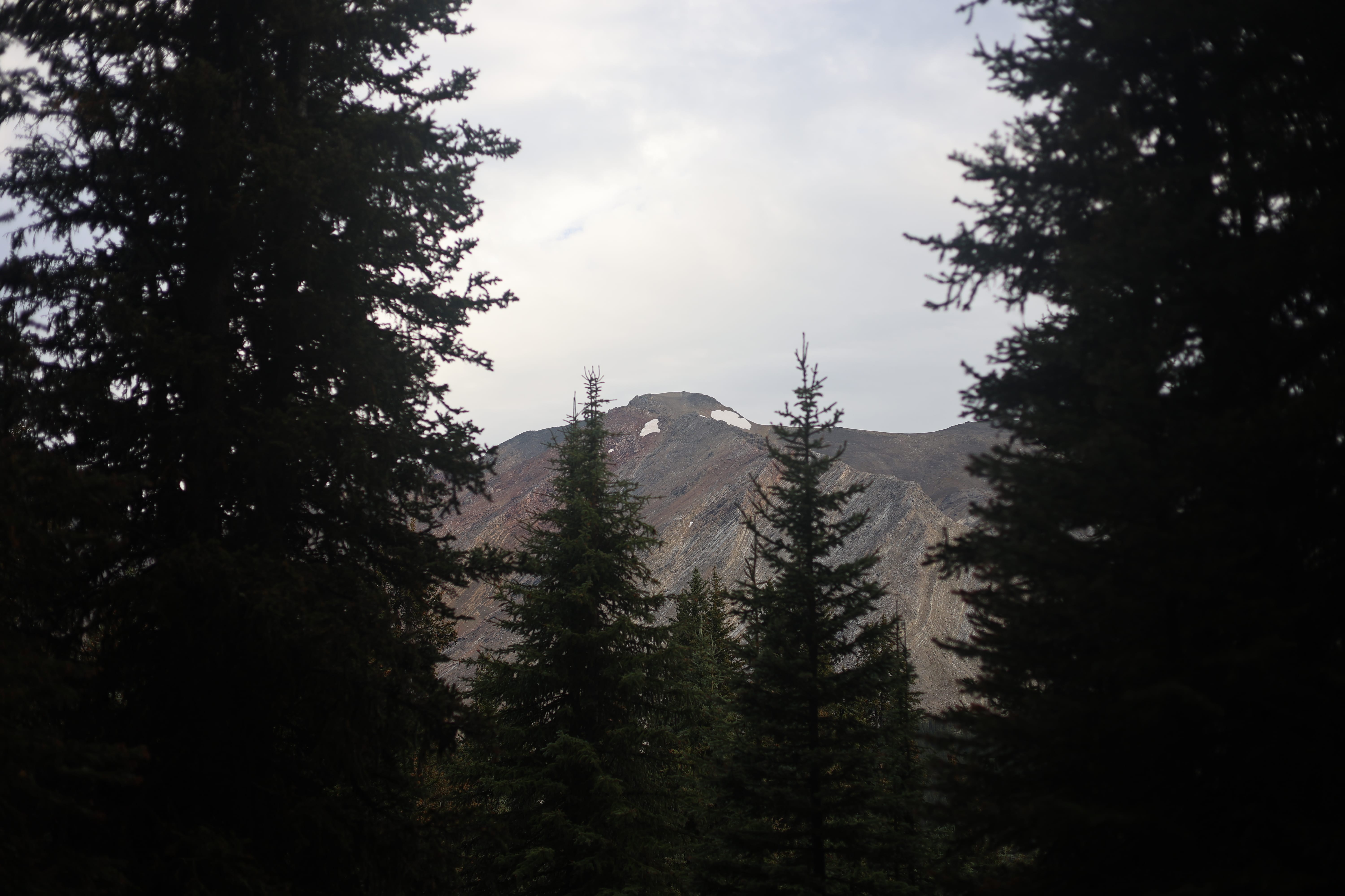
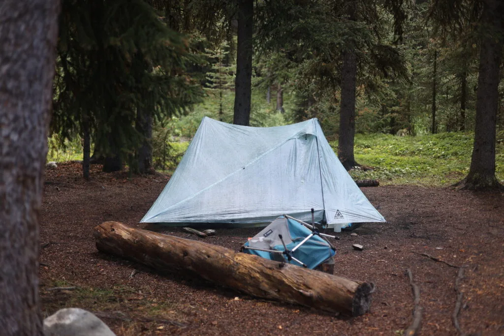
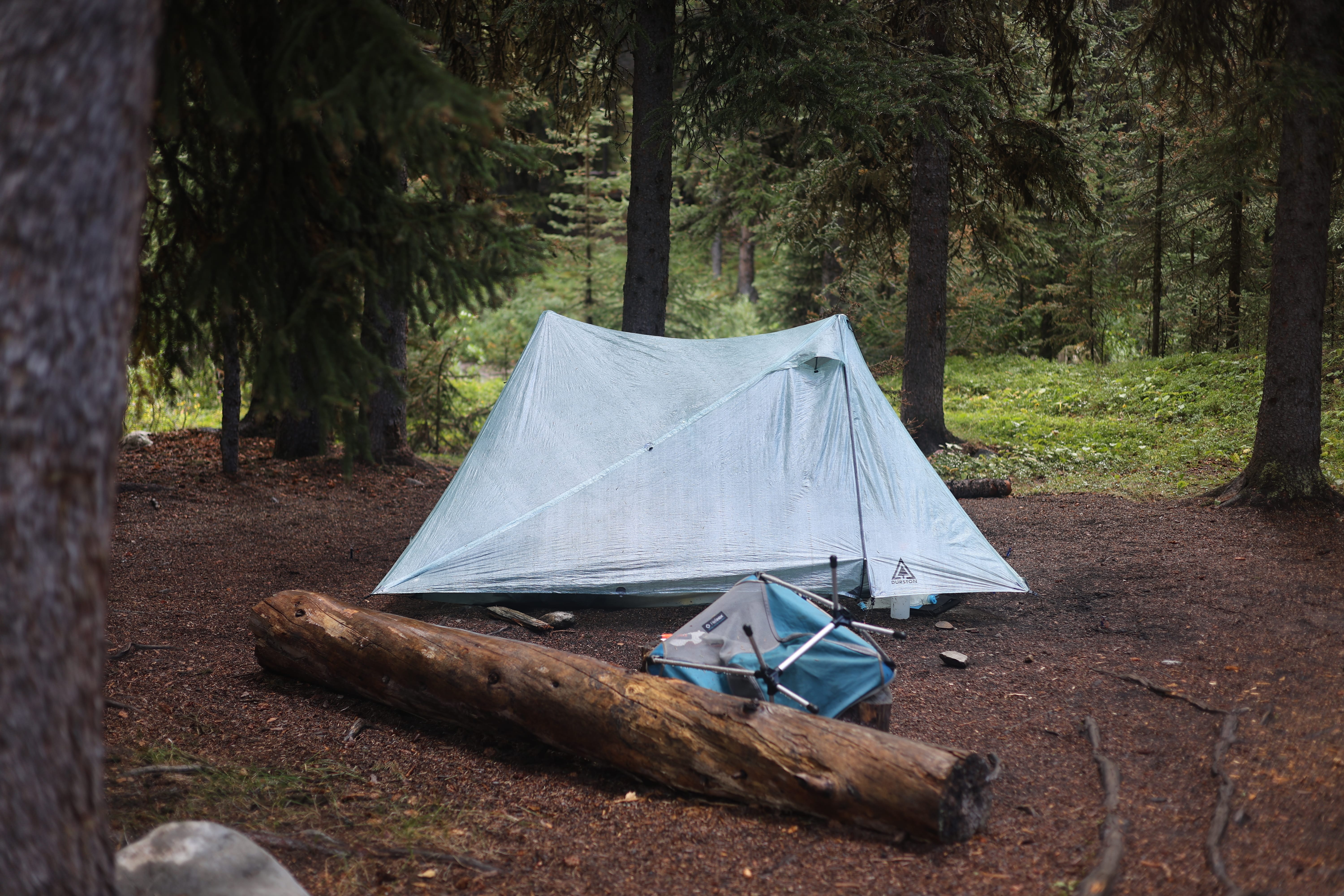
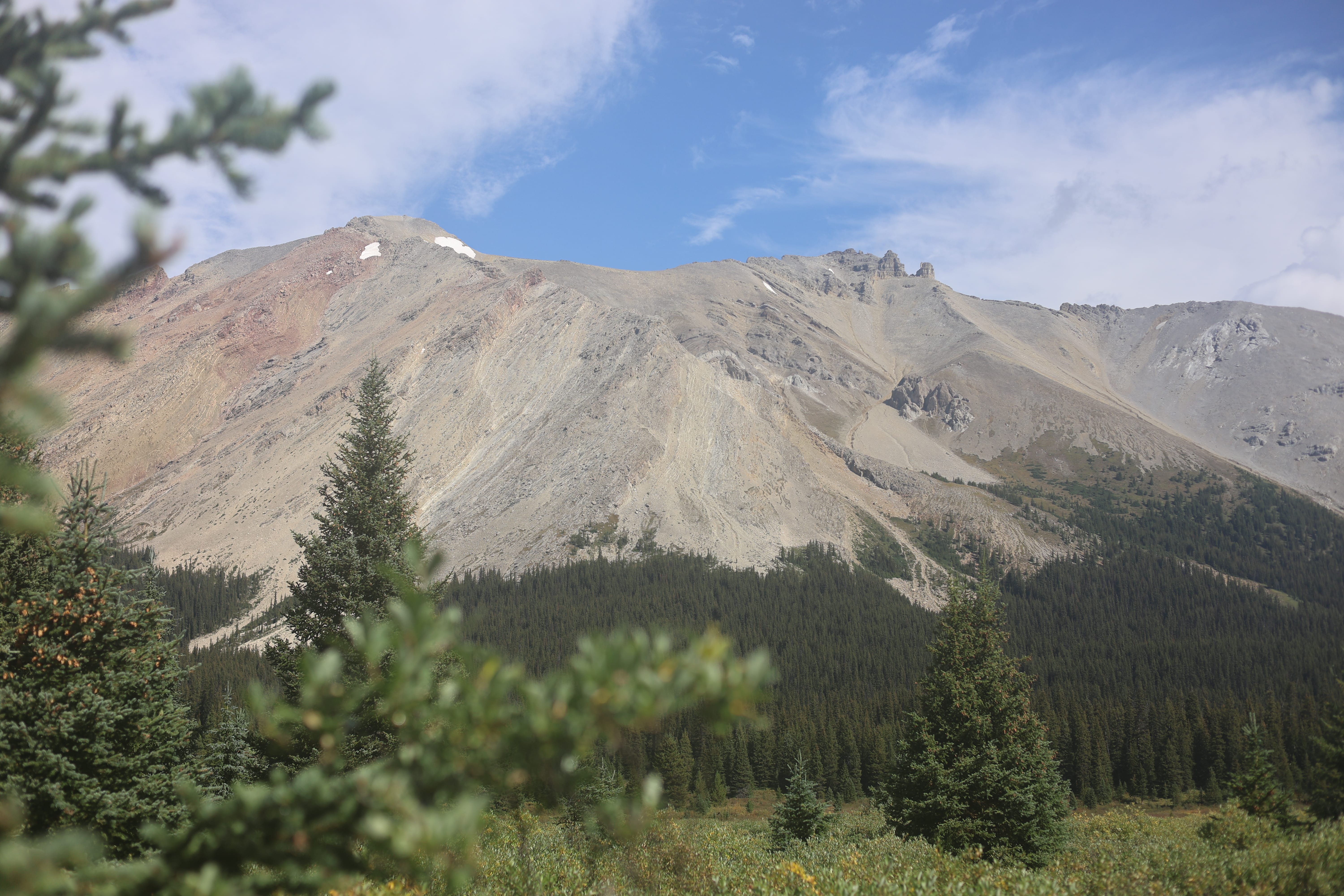
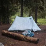
Heavy early morning rain; enough that sickness and all I went out in the night to fix what was truthfully an inexcusably sloppily-pitched tent. The forecast called for a nice, unsettled Rocky Mountains day, with rain, then sun, then lightning, while tomorrow was supposed to be pretty good.
It was day four. Though I’d slept pretty well, I was still very tired. I could power through… but why? I’d eaten only a third of my food, I had nowhere to go when I finished the hike, there was plenty of room in camp, and therefore no compelling reason to drive for Boulder Pass in a storm at all.
Heading to the eating area for breakfast, I slipped off the bridge and fell into the creek. No harm done but the minor adventure took more out of me than I knew I had to give. I ought to be home in bed under warm blankets; this was quite a vacation, but between coffee, tent, and plenty of time for rest, I could at least look after myself to a degree. So I did. Had I pushed on, I’d be staring up Divide Creek that morning. I was sure I’d been making the right decisions so far.
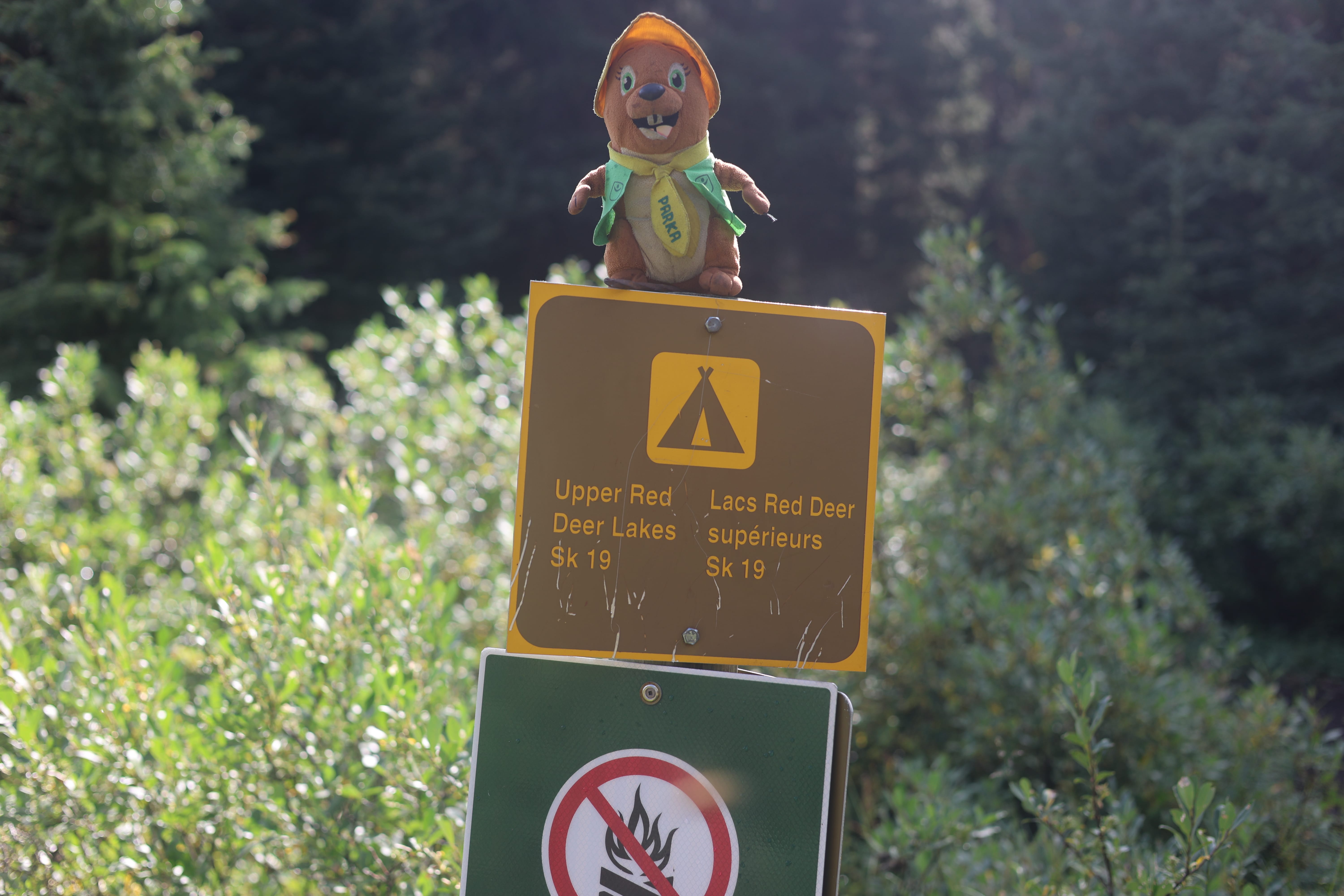
I was a mess of a human all morning, but the sun poked through the clouds after a while and I started to rally. The rain had beaten the smoke down, and many more people than the day before were walking in. A couple older ladies entered through the back door of the eating area as I was having brunch and talking to Parka, my stuffed beaver; they startled me very much. A couple guys came in from Mosquito Creek just as I had, in rather less time; I warned them about my illness and we shared rude comments about the trail conditions from a safe social distance. “Slow going,” they said, laconically; they arrived in camp an hour earlier than I had the day before. There were a couple of Russians and a French party of nine, which was one of the greatest things I’ve ever seen in the backcountry. There is a stereotype that people take my kind of trip for the solitude, and it’s true, but the seemingly-corresponding stereotype, that a huge, mixed family group coming in to have fun must therefore be unwelcome is not true at all. Their four tents were in a compact square, they had fun and were considerate. A couple played frisbee, and a couple of times accidentally fired it into my tent, and their apologies were so sincere and worried about having offended this wild-bearded red-eyed mountain man that I was happy they were there. A rather stunning fille I met at the water source told me they’d seen a huge grizzly a mile or two away; I could promise her categorically that no grizzly was coming to that camp tonight.
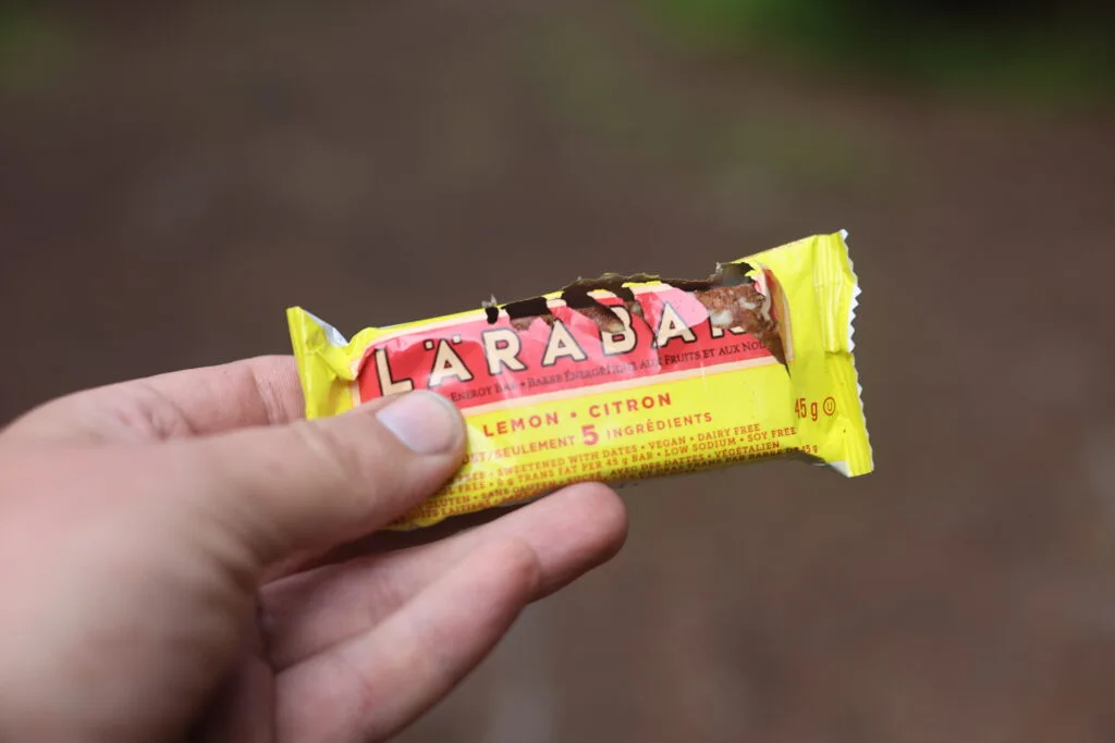
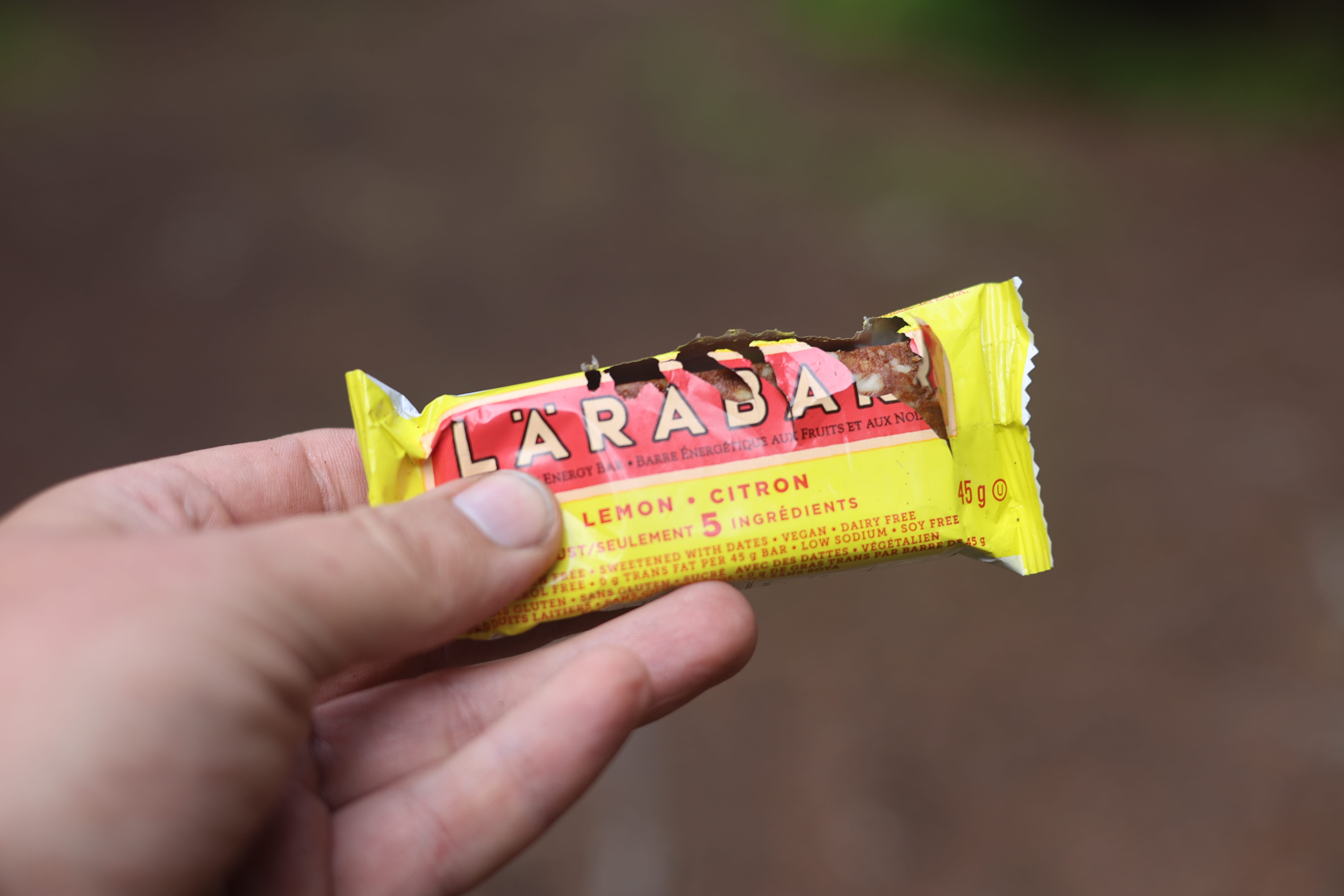
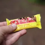
Red Deer Lakes has a strong reputation for critters. Porcupines are the best-known, but not alone. At lunch I went into my backpack’s hip belt for a nice sustaining snack bar and found that some squirrel or another had neatly sheared open the top of one of my Lara bars. I can only assume the lemon-flavoured ones don’t suit him for he had had the merest nibble, and he’d probably done a fair bit of work to get at the thing, poor guy.
I took advantage of the off day to inReach message my dad telling him what was up and, in a roundabout way I was rightly called out on later, raising the possibility that a ride would be helpful. In my defense, my dad lives a six-hour drive from Lake Louise and I thought to just out-and-out ask him would make my situation seem worse than it was; he stepped through the door I’d left conspicuously open with aplomb, we arranged a pickup time, and since I had no idea what sort of hiking shape I’d be in I was super conservative on my timing. There were a couple options for my route; either via the lodge or via Baker Lake, and while Baker Lake was about a mile longer it had less climb so I picked that one.
I had dinner, chatted at safe distances, popped another sleeping pill, and got ready to get out.
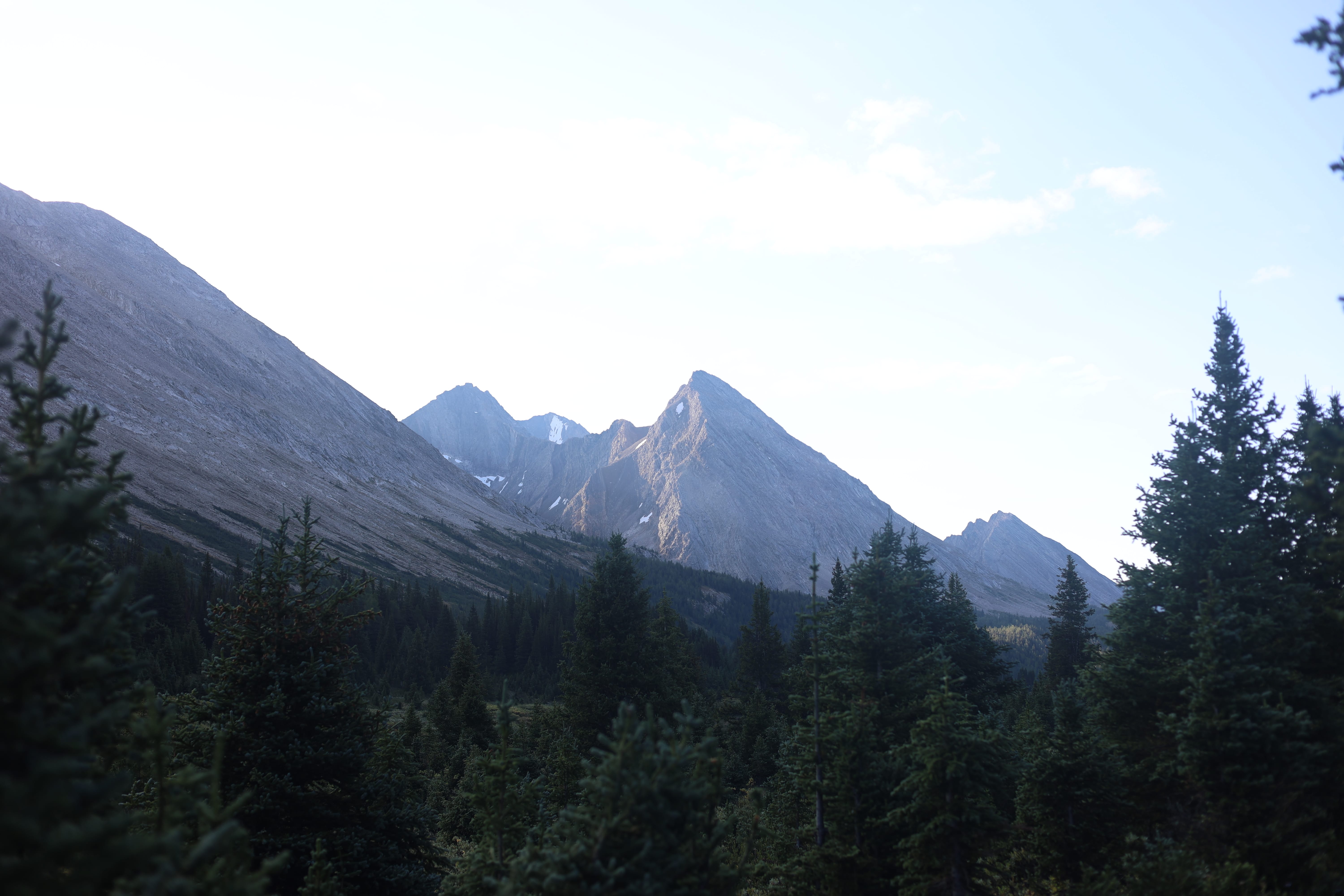
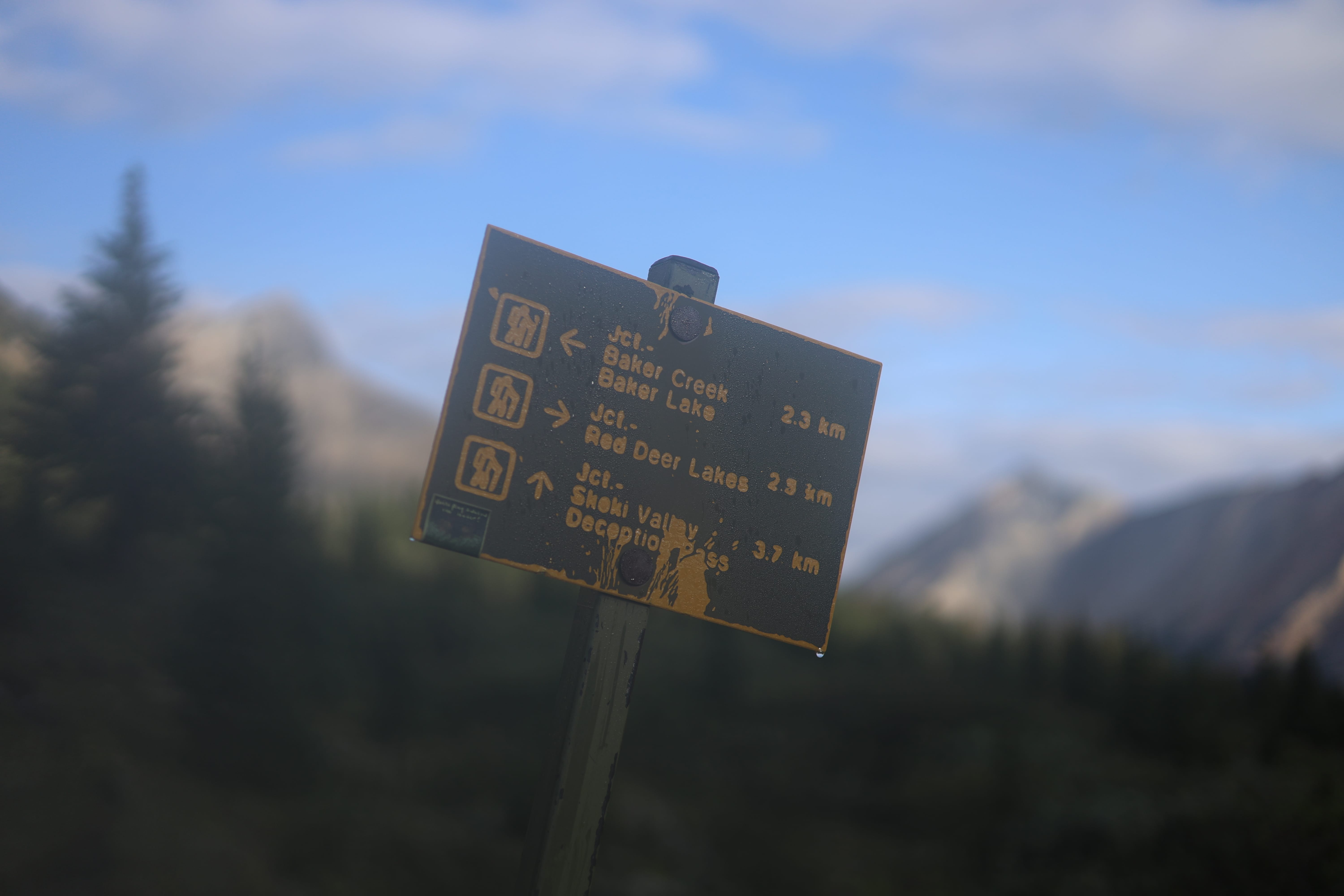
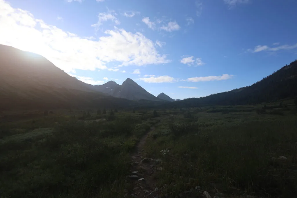
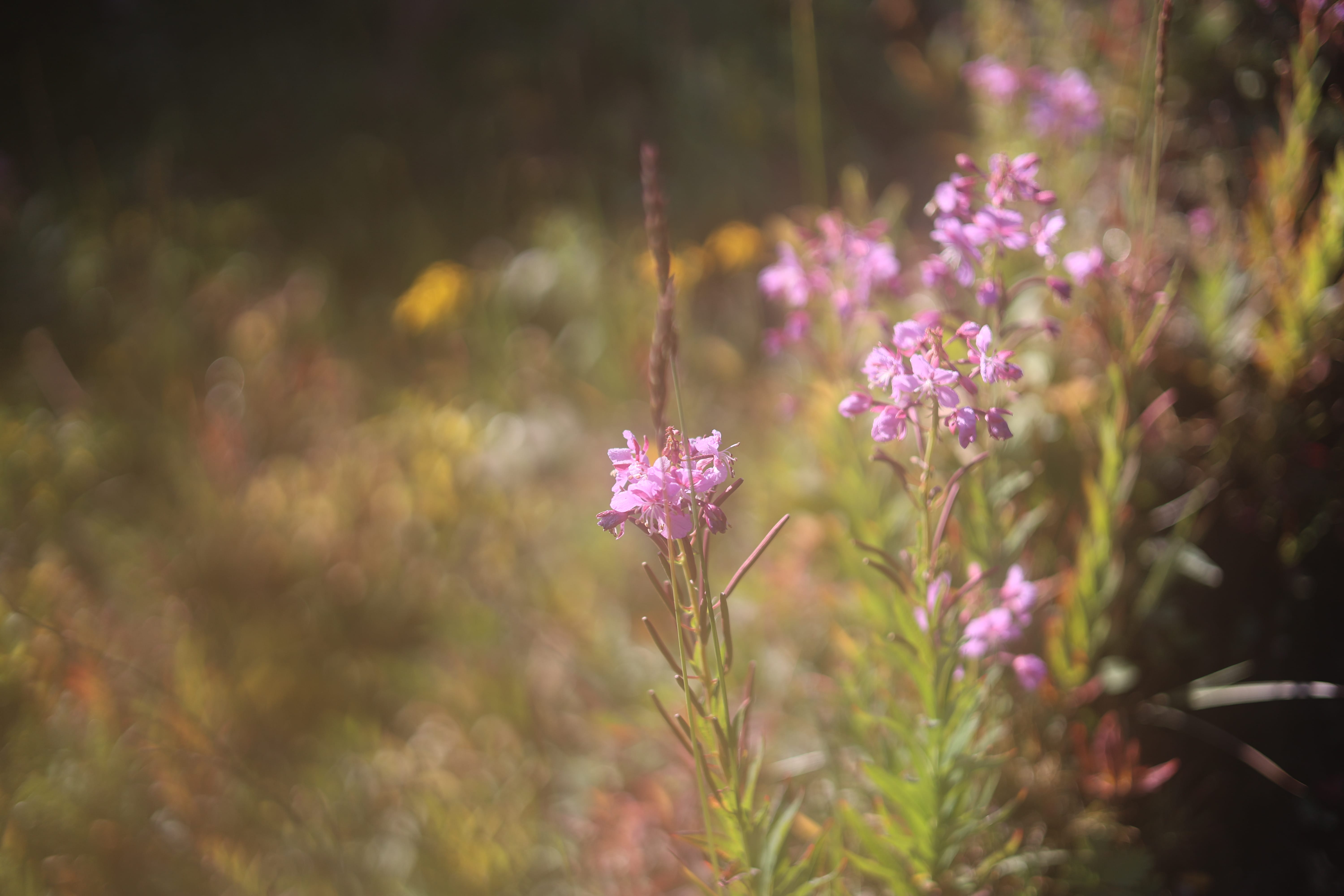
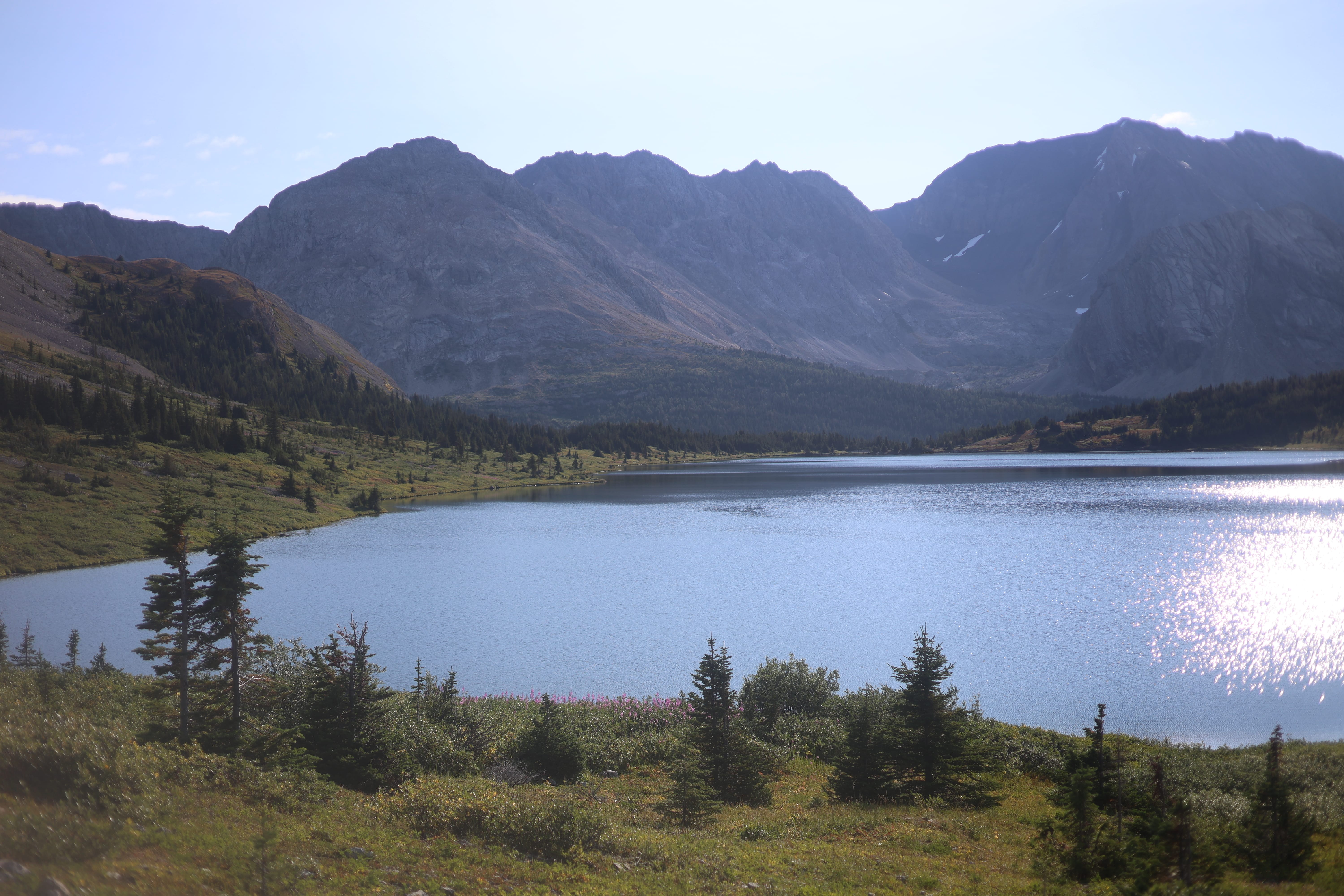
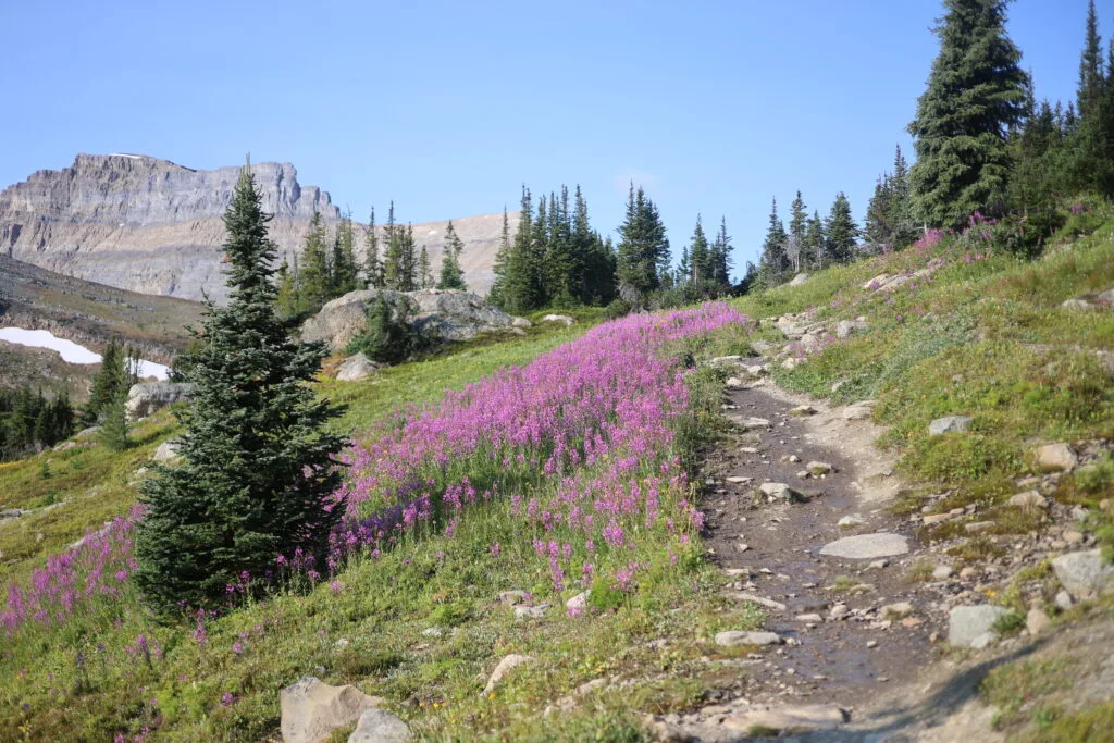
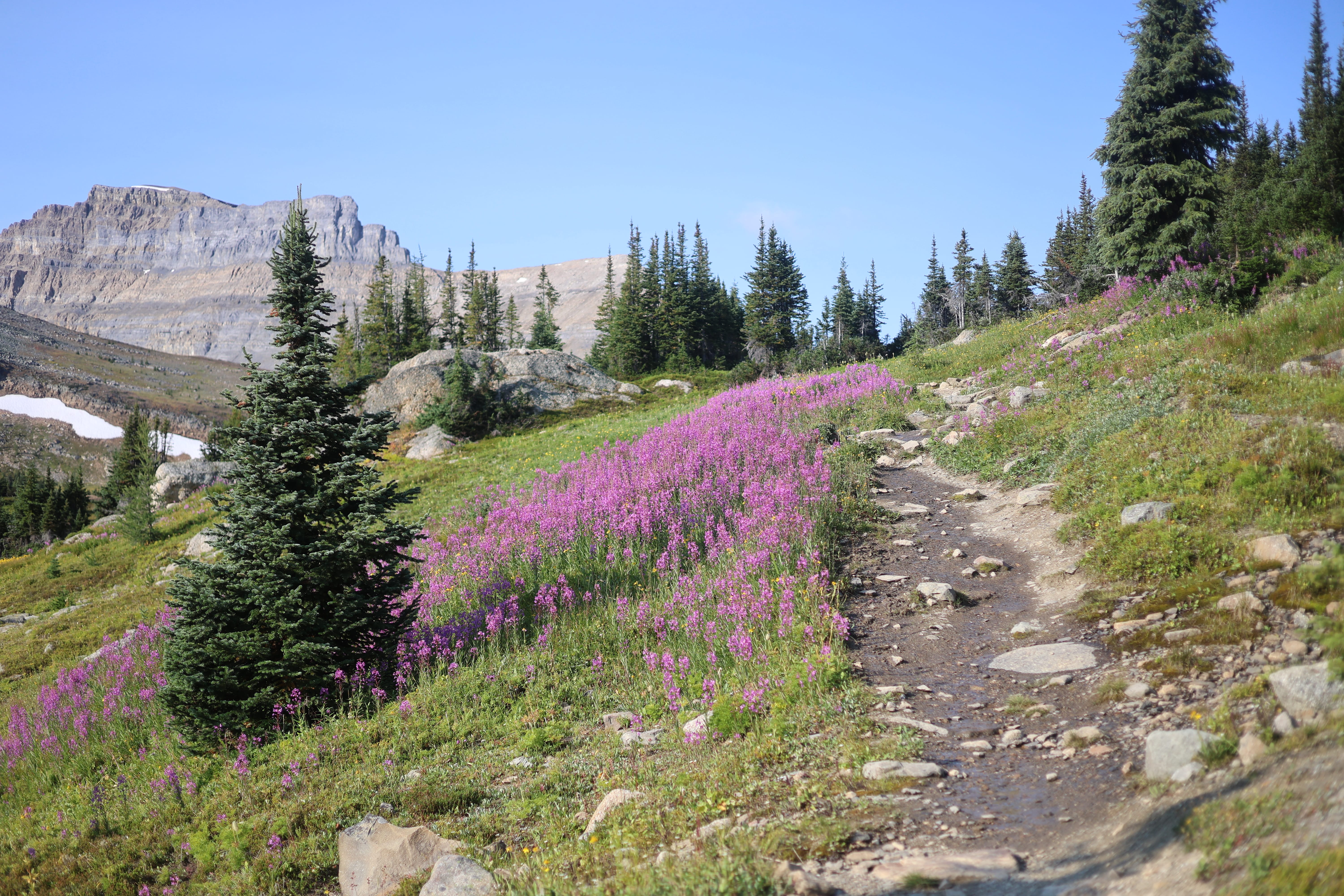
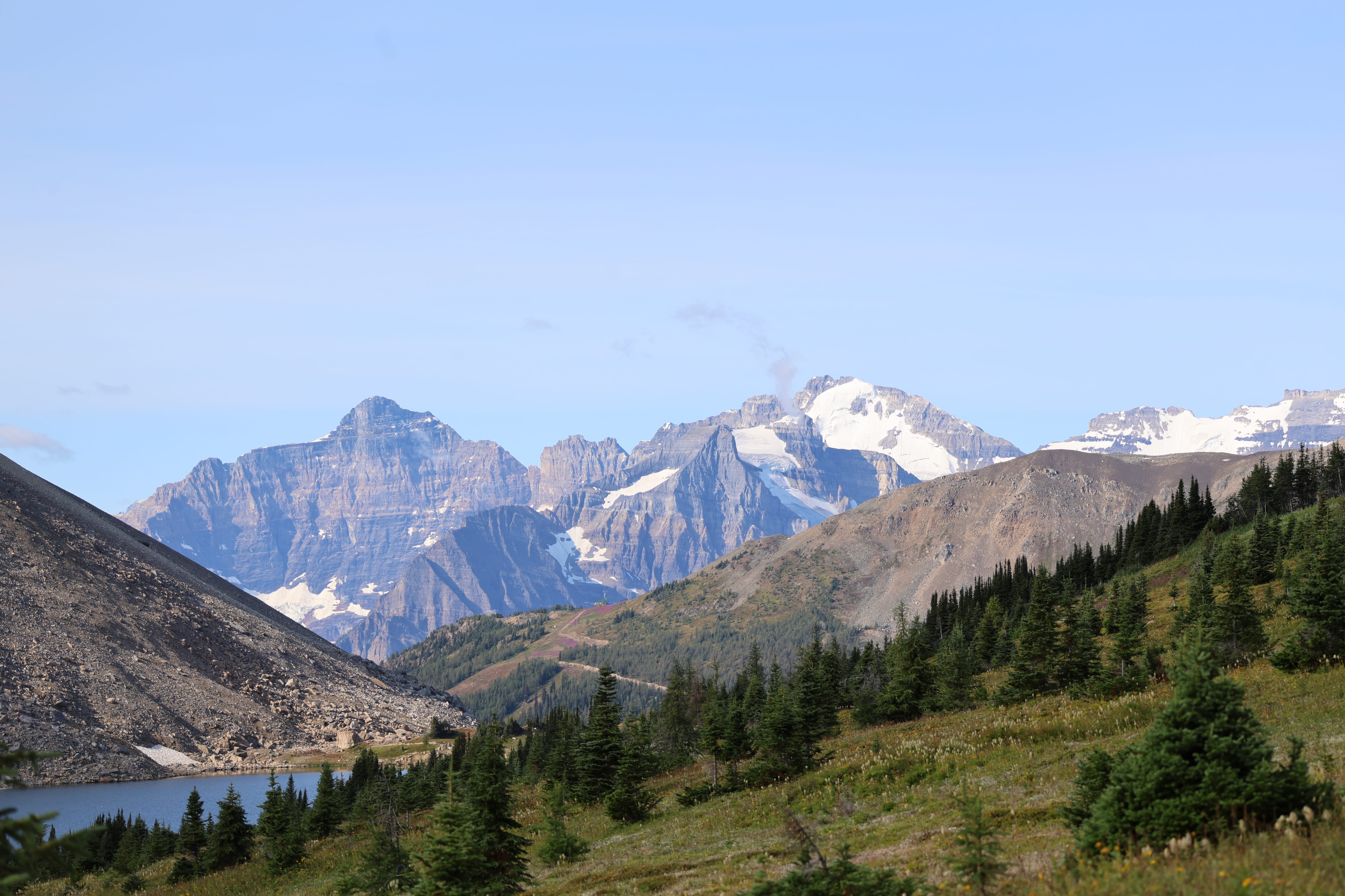
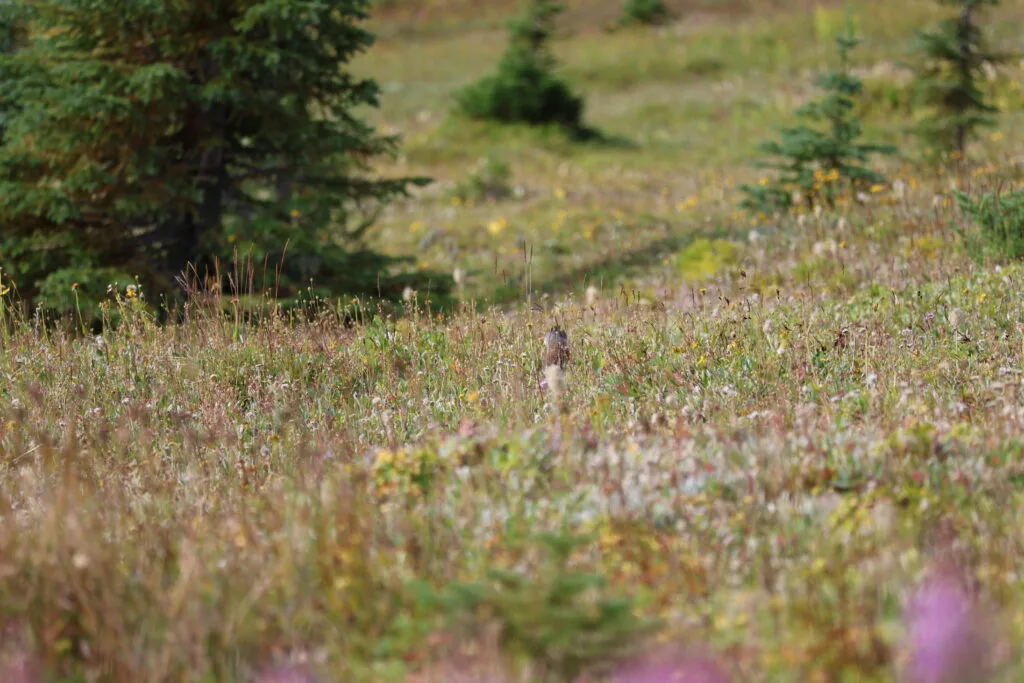
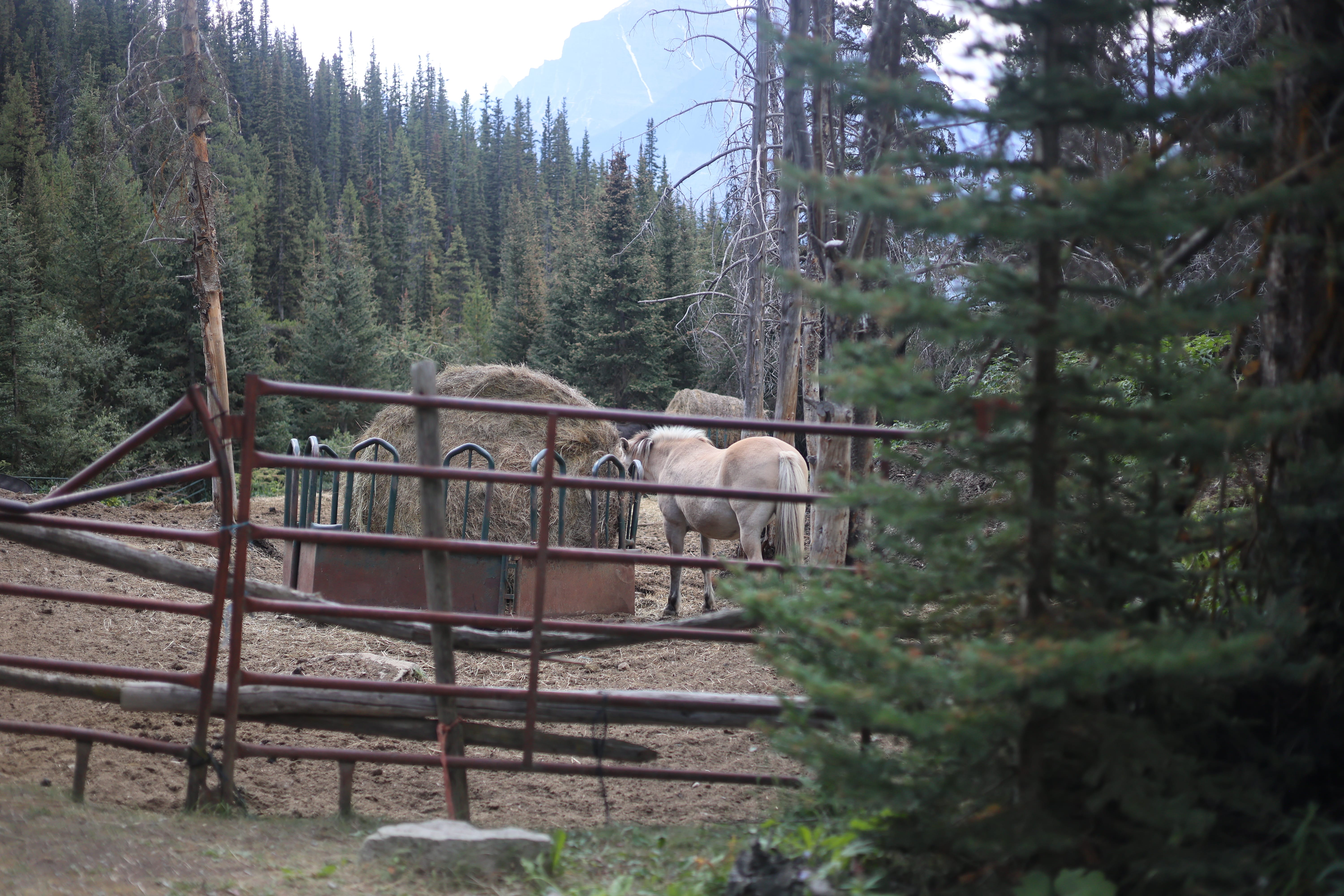
Sometimes a picture, even of words, is worth a thousand words.
![A handwritten diary entry: "Day 4 [sic] No sleep wanna die"](/wp-content/uploads/2026/10/nosleepwannadie.jpg)
Surely that diary entry, the only thing I had the heart to put in the notebook right down to writing the day wrong, sums up my mindset. I was miserable. Sick as a dog. Had scarcely slept a wink. It had rained in the night. I had, based off the map, 11.5 miles to hike out (it turned out to be more like 12), with a definite net downhill but a reasonable amount of climb. Under normal circumstances, not bad. If the trail was as good as it seemed the Skoki trails ought to be, just fine. But of course I’d only find out when I got there and my morale was zero. I have scarcely felt so utterly miserable, not just “in the backcountry” but generally.
However, if I didn’t hike out, it would never be over. So I wouldn’t say that I pulled myself together, exactly, but I did pack up without forgetting anything, ate breakfast, drank water, visited the outhouse, and left at the time I’d meant to. It wasn’t going to be nice, it wasn’t going to be pretty, it wasn’t going to be fast, but it had to happen and it would. So there.
Another incorrect prediction.
The day started off fine, walking through the woods out of Red Deer Lakes towards Baker Lake. There were no trees down, which was pleasant. It took a while to consciously realize that not only was the trail clear, but it had been brushed; while the actual geography is no easier in the Skoki Valley than elsewhere, the difference such trail maintenance makes is hard to overstate. The miles did not exactly fly by, I was in no condition for that, but nor was it any kind of a death march. There was no easier hiking anywhere.
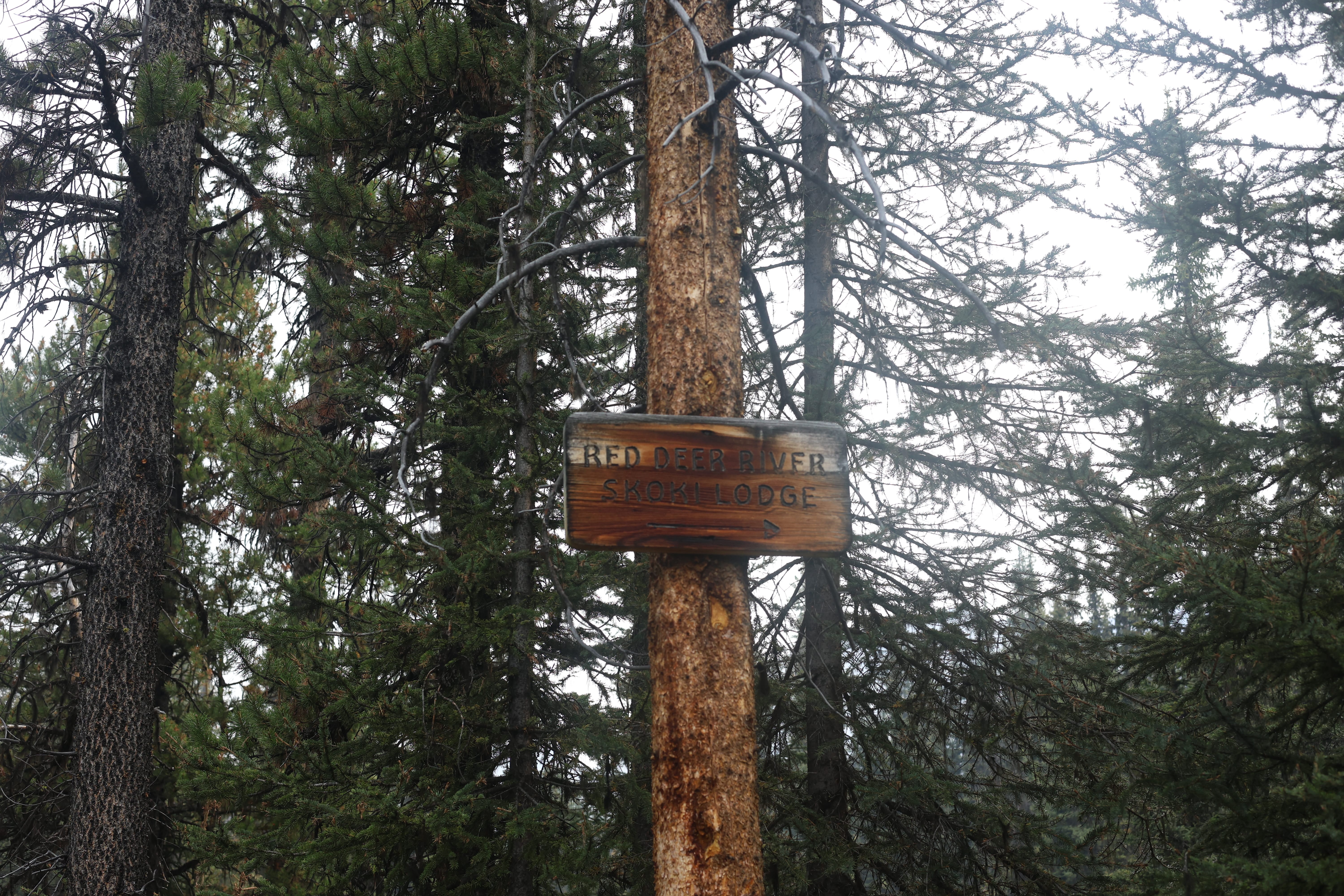
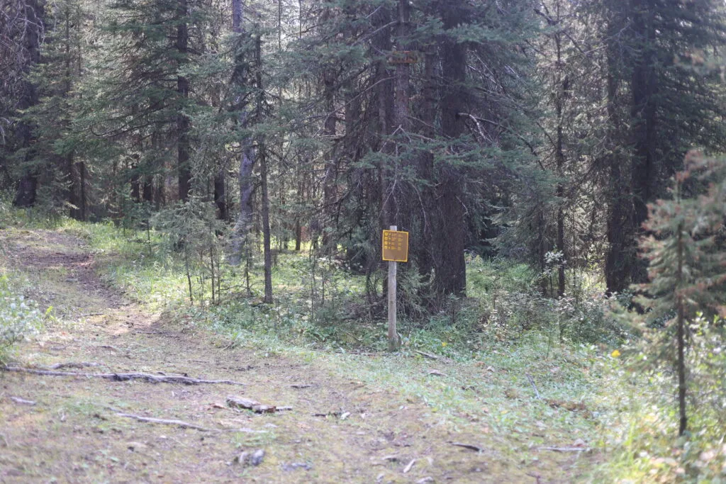
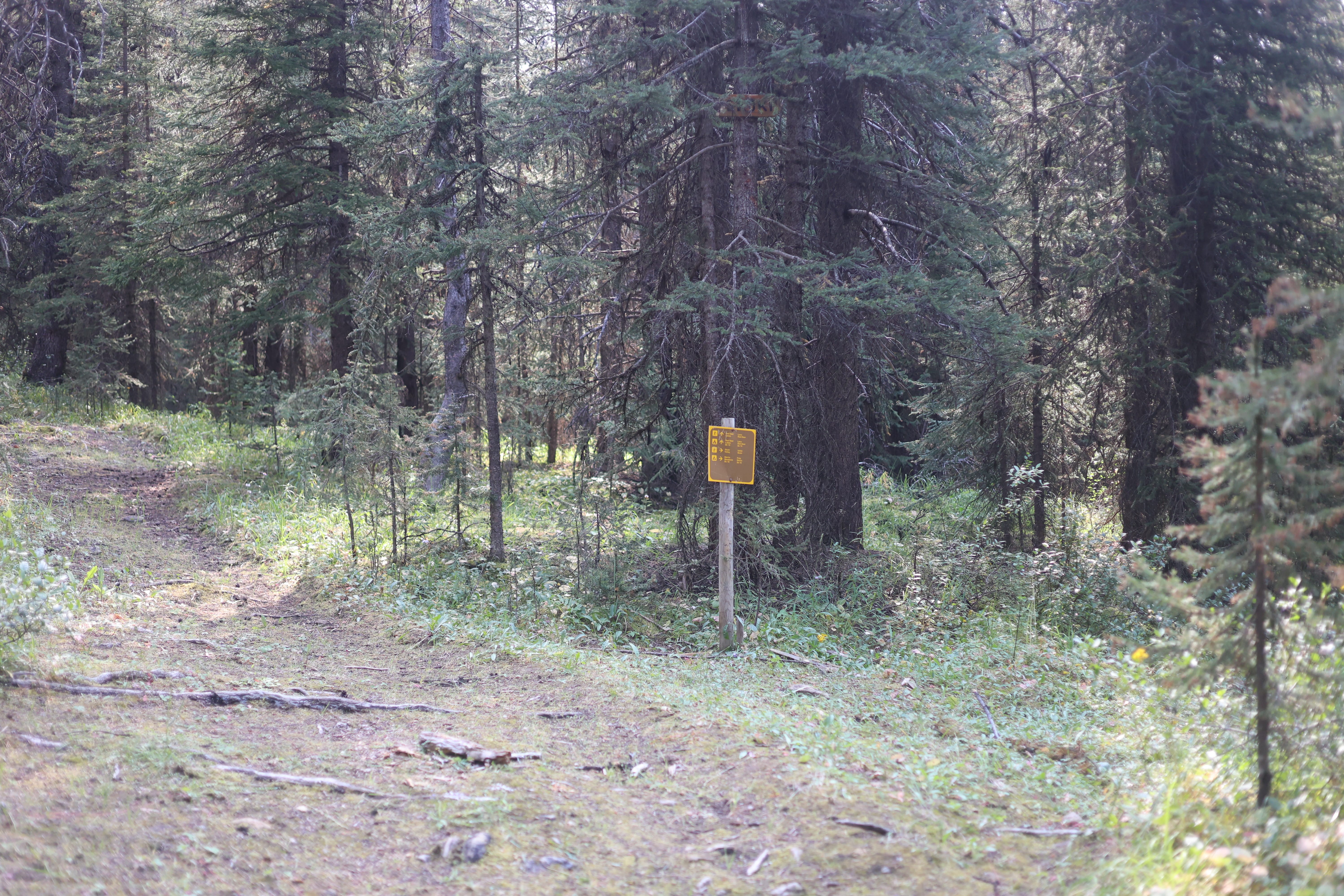
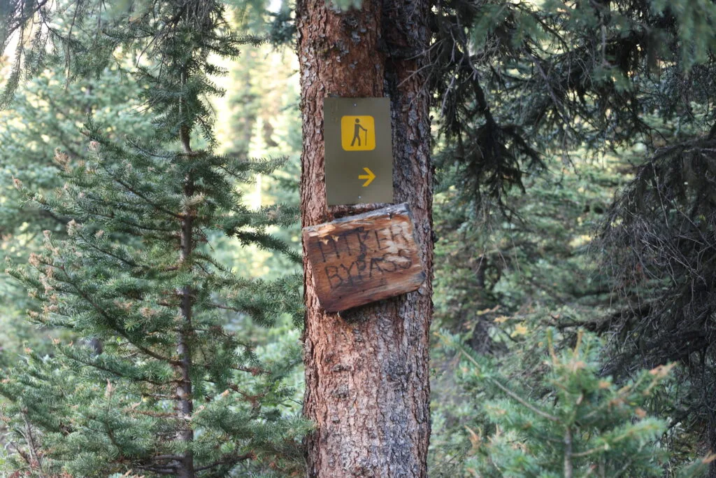
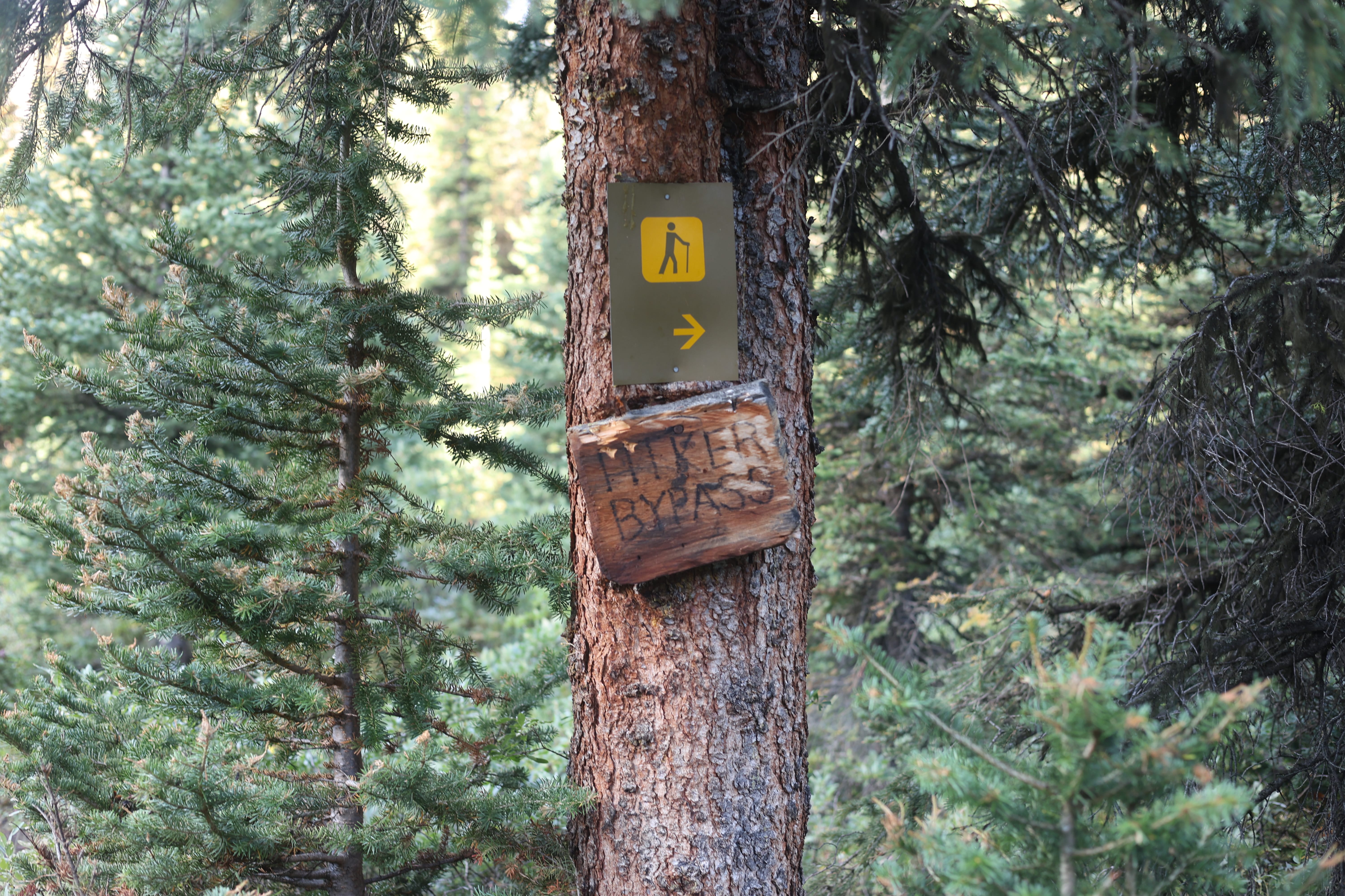
At the turn-off where one could decide between crossing Jones Pass into the Skoki Valley and going on to Baker Lake, I had decided on the latter; almost a mile longer, according to the map, but with far less of my dreaded climb. However, the former was not marked simply “Skoki,” but “Hiker Bypass.” Hiker bypass of what? I poked down the bypass for six or seven seconds before I reached a ford and decided that I’d stick with the original plan. People hike to Baker Lake, I knew that; why let some sign tell me what to do? On I went, Baker Lake-ward.
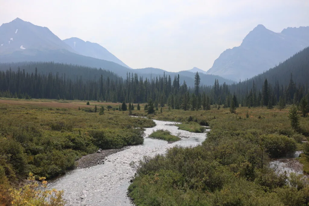
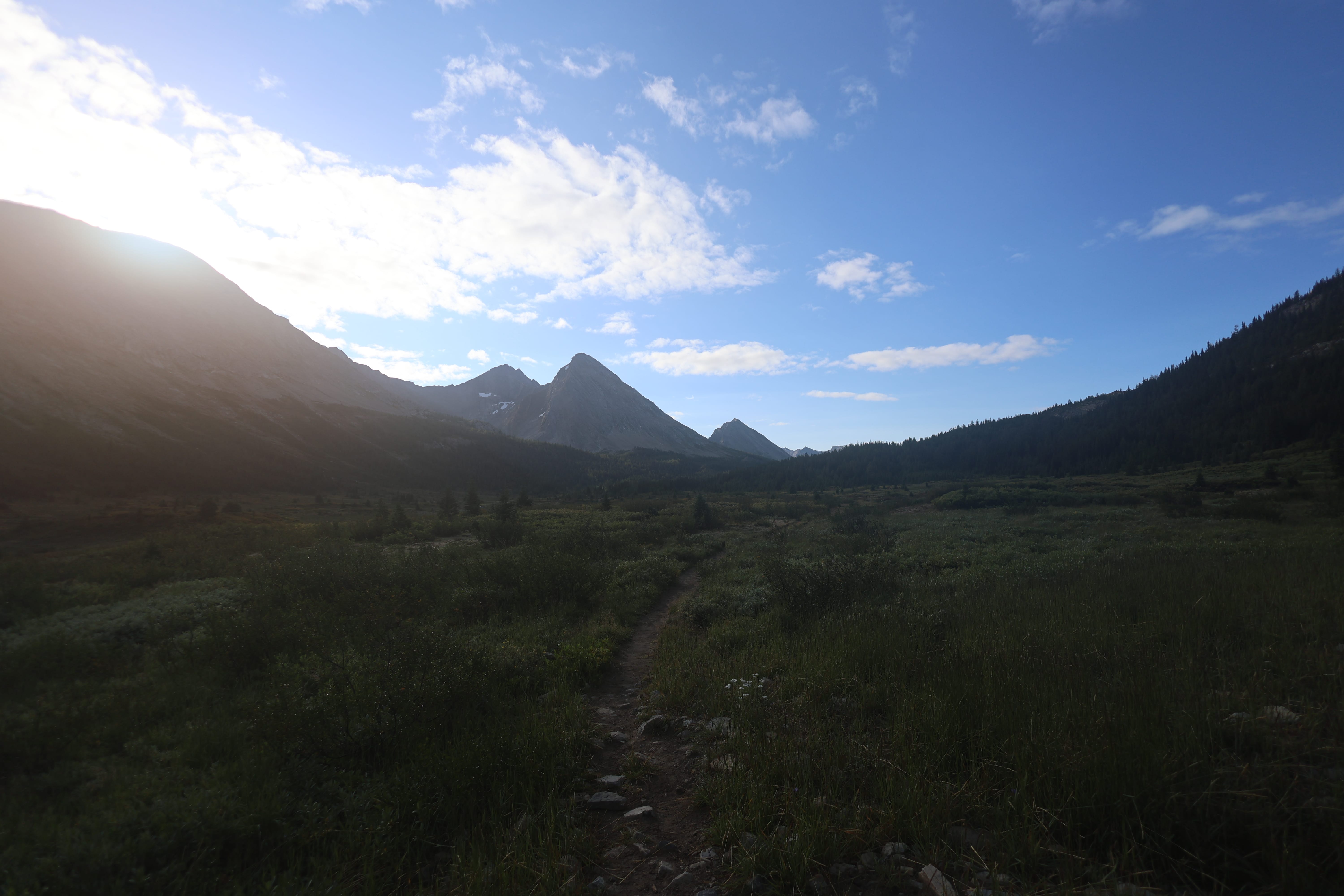
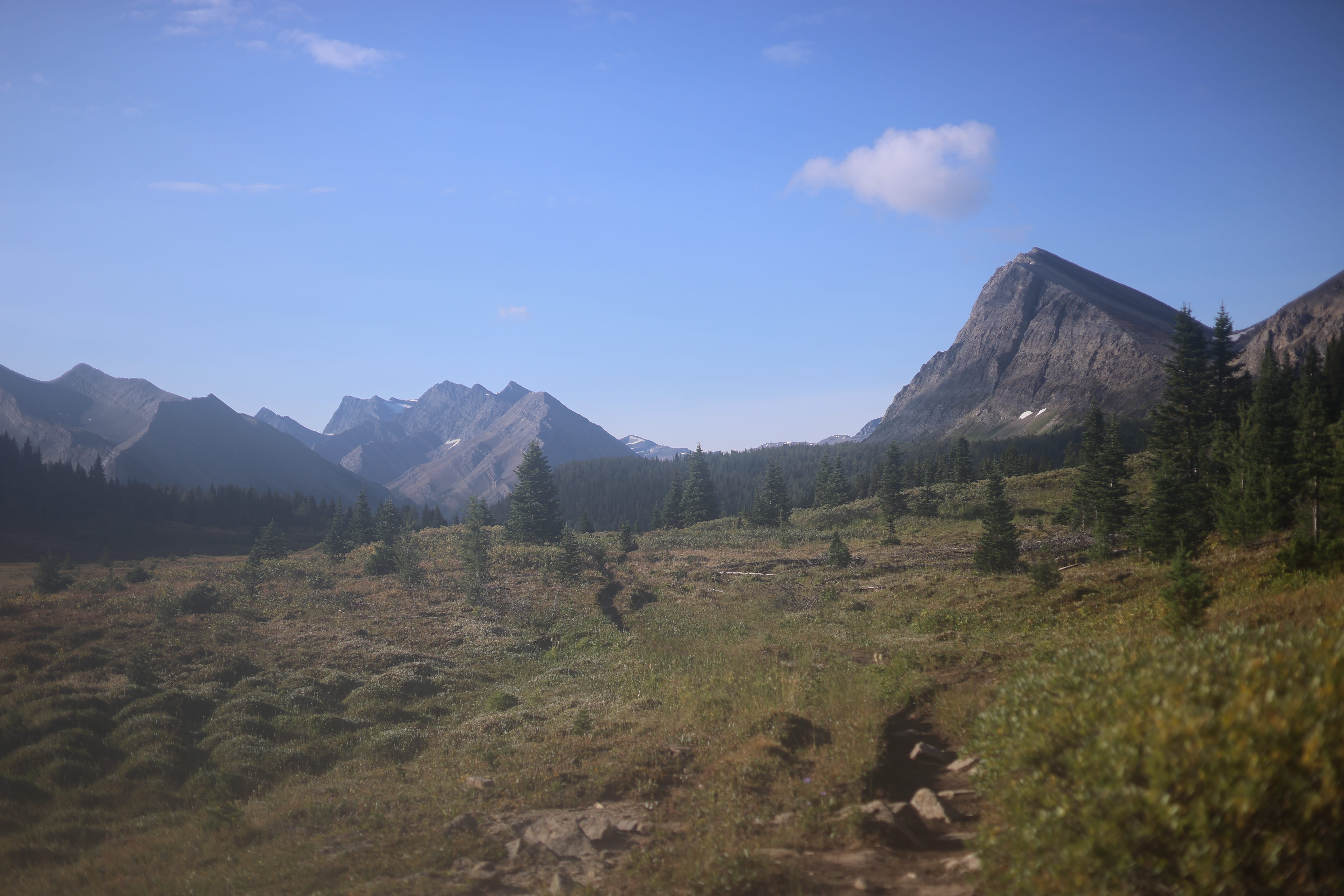
There was some climb, some forest walking, at first, not an offensive amount of either, enough to not even bother me, and then the trail came out into the open towards Baker Lake. “Oh, that’s pretty,” I said. Which I continued to say for the next few hours, almost without interruption.
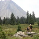
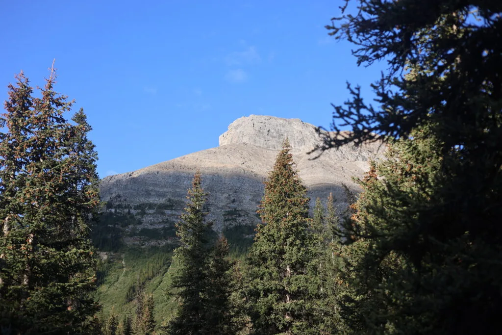
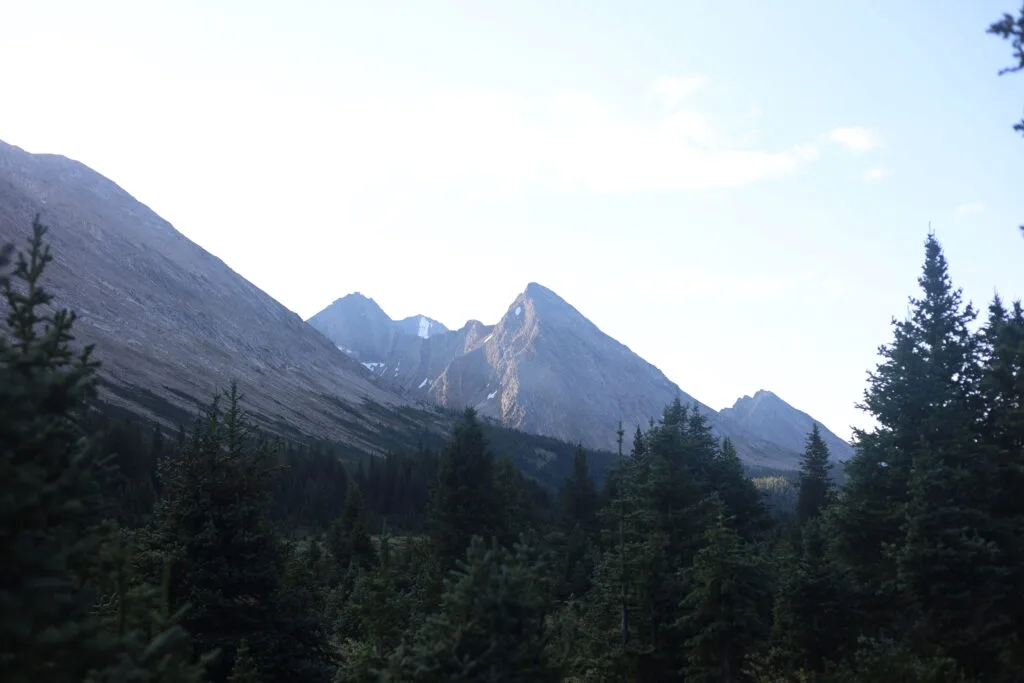
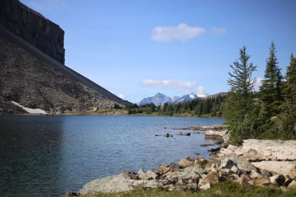
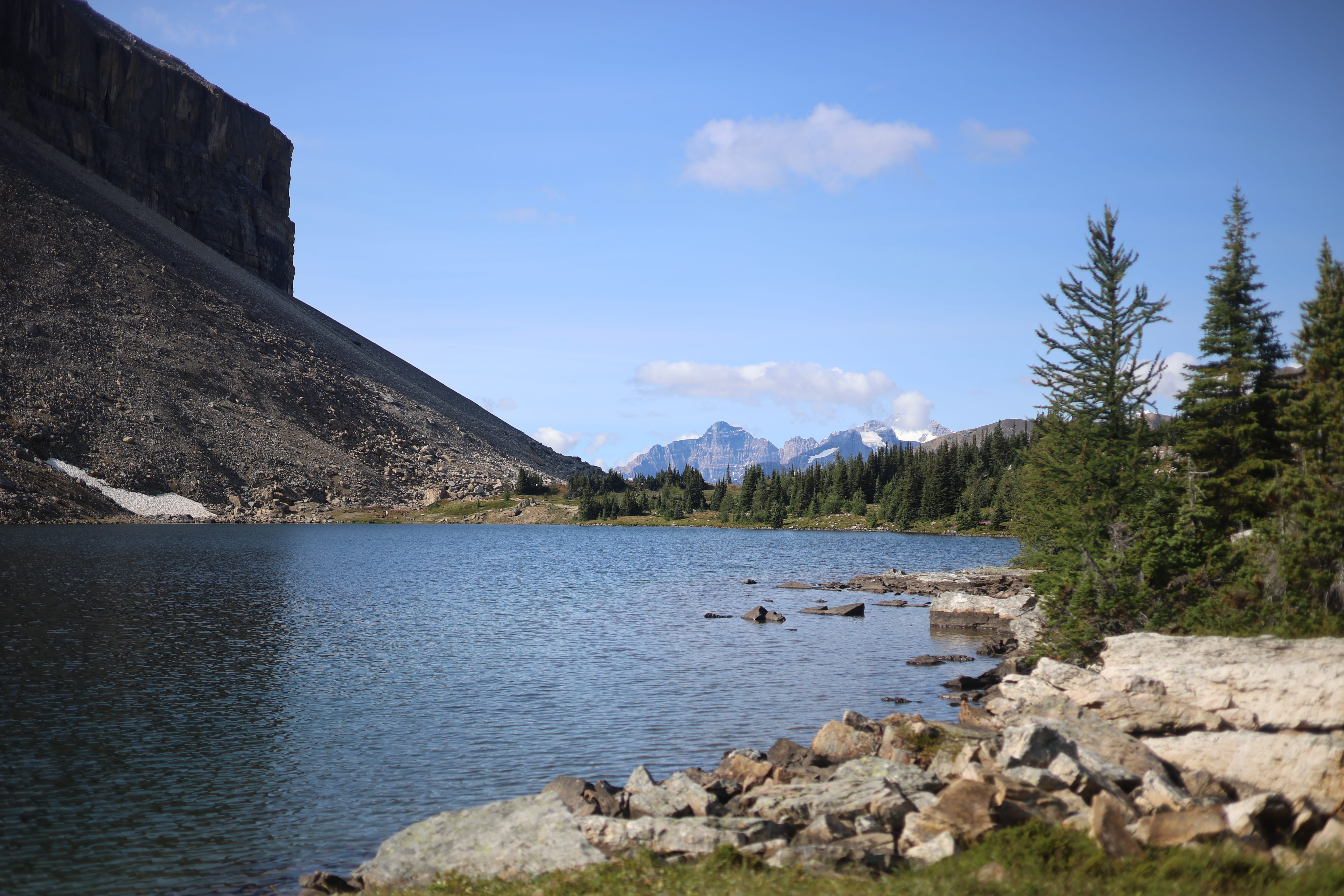
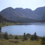
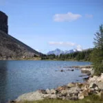
Wending along Baker Lake in the morning is a highly-recommended cure to sleeplessness. It’s pleasant. There were no giant grizzly bears. I wasn’t making great time, no, but there was no hurry, and I wasn’t stopping except to look, or take pictures. I didn’t go into Baker Lake camp, and I’m sure that on the inside it’s a lot more Red Deer Lakes-coded, but on the outside it’s rather spectacular. Alpine lakes have a right size. If they’re too big, they overawe the terrain; frankly, I think Lake Louise is too big, though the colour makes amends for much. Kinney Lake is too big. Baker Lake is just right. It assumes you want to see everything as a holistic whole, not just for the sake of the lake; it’s a rather splendid spot, with quite a remarkable backdrop.
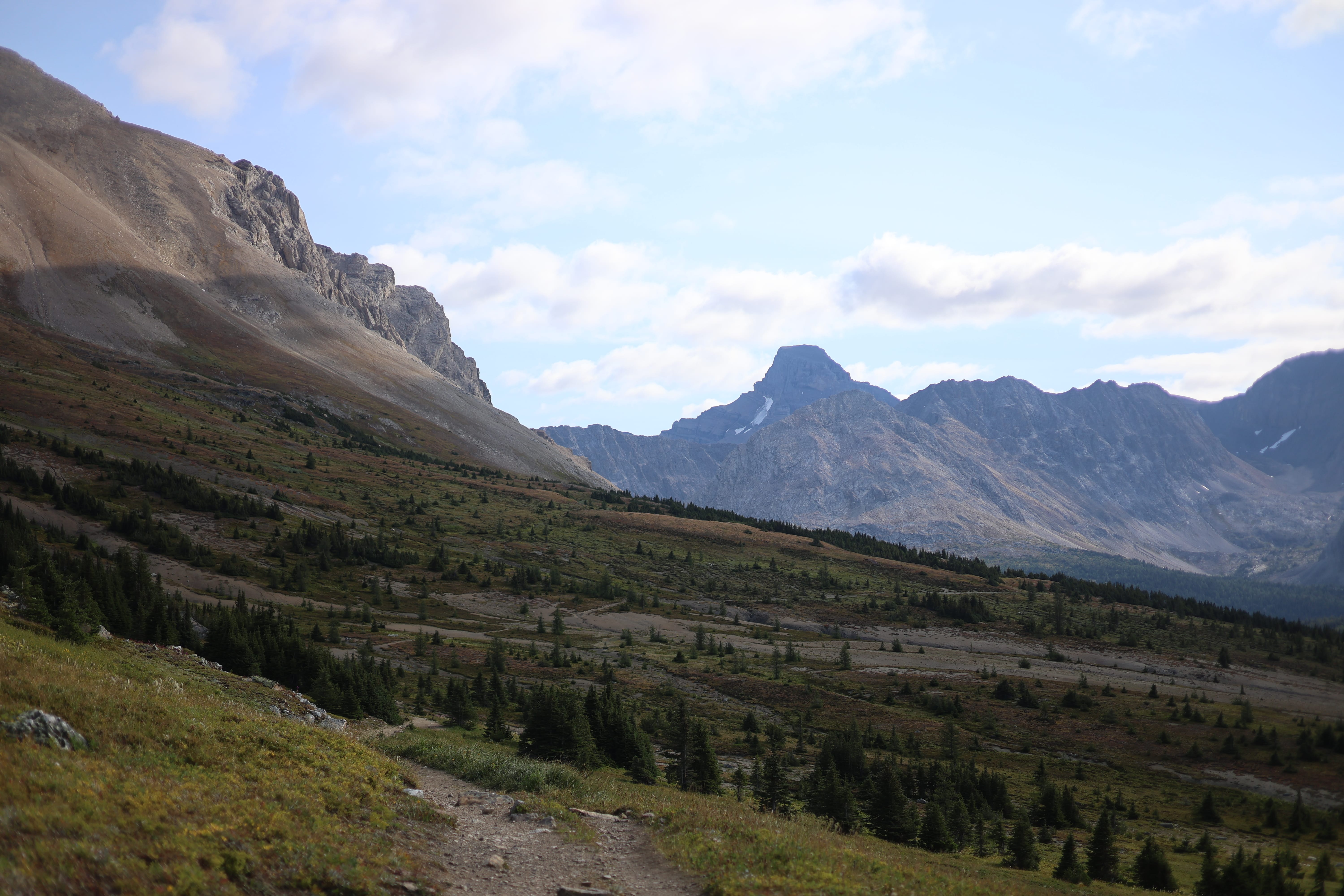
Then I had to hike up and out. Which took a bit, but not nearly as long as I thought it would; I had, in fact, already done most of the day’s climbing on the way to Baker Lake, which was a lovely, lovely surprise. The trail was highly hospitable, there was not only no deadfall but the park maintains little culverts to get the spring run-off to flow beneath the tread. Rising up towards Boulder Pass, the views are not as good as Baker Lake, but oh, the promise. The grade is moderate, the trees replaced with stone, the peaks start to show up above the ridge, come on, the trail says, this is gonna be good, and the trail doesn’t lie.
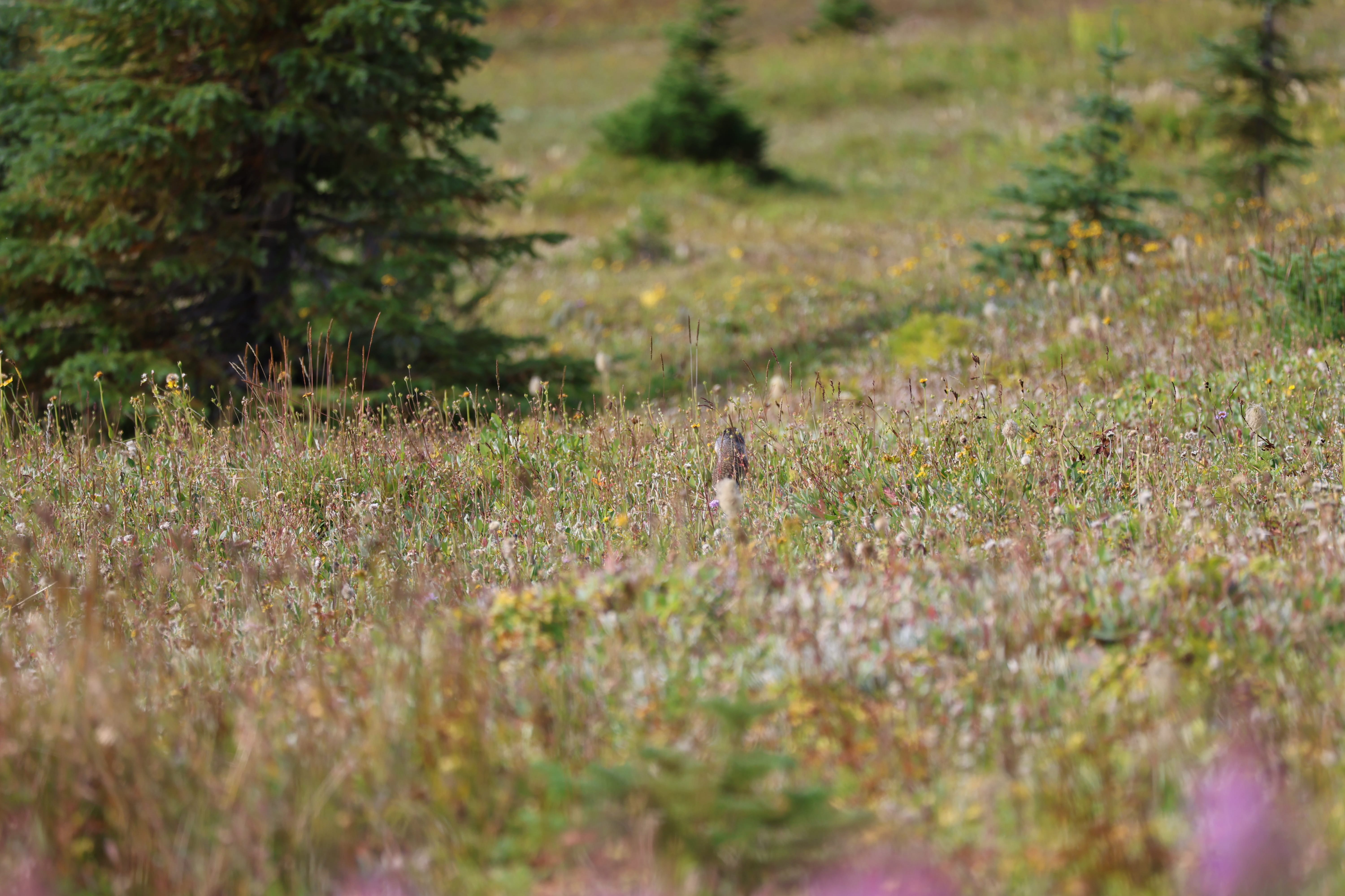
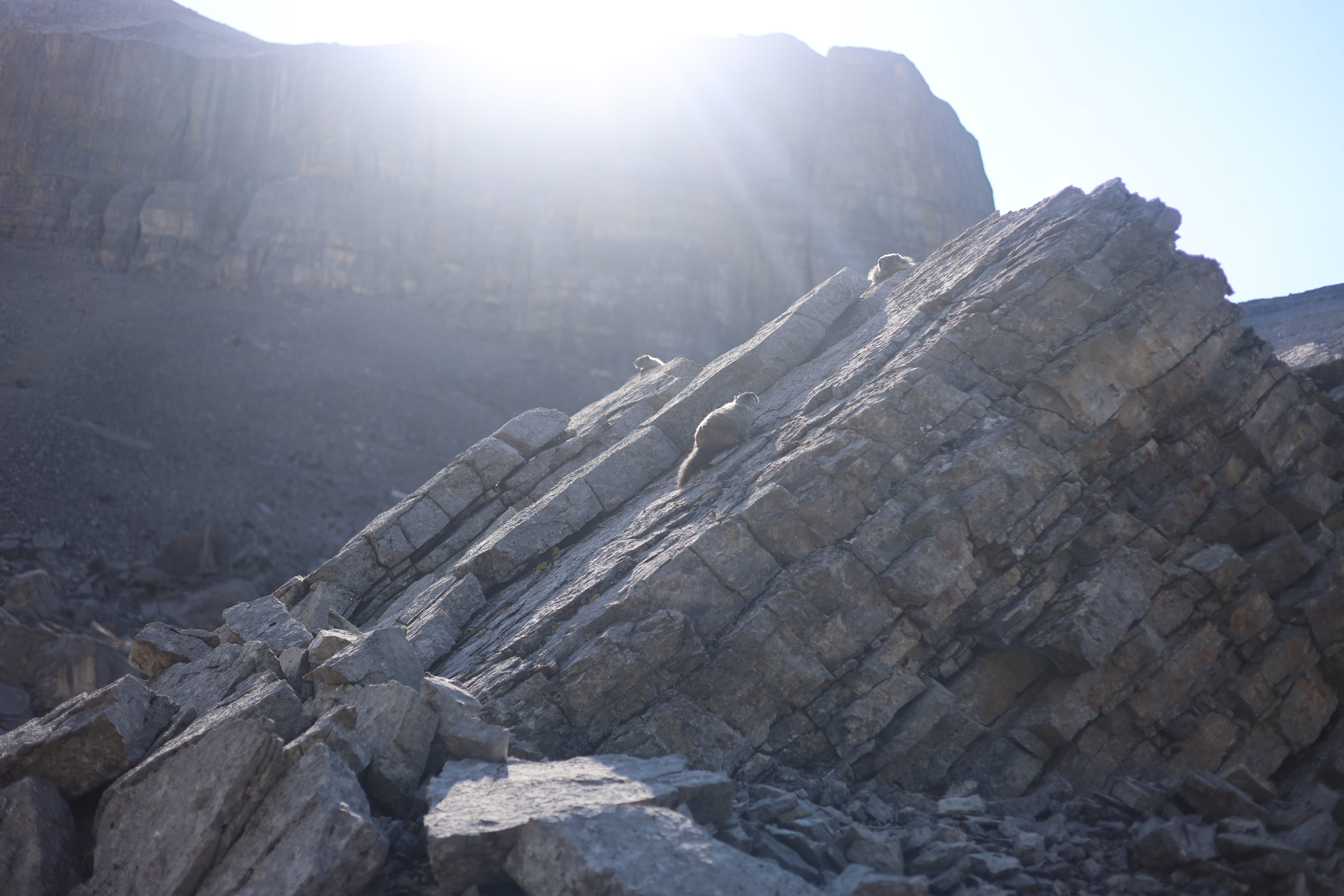
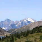
To write about the hike from Boulder Pass down to the trailhead is almost superfluous, for thousands do it every year. You’ll find it on every blog, every clickbait site, in every trail guide, on every Instagram that even flirts with coming out this way. If you haven’t done it, it is all just as beautiful as you’ve heard, and if you have done it, the beauty was enough to sustain even a half-dead man like me. To fill my heart with life and my mind with joy and gratitude that God had put this in my way. The weather was perfect. The views were perfect. There were plenty of other hikers up there, of course, and I leap-frogged them as they took a break at some beauty spot and then I took a break at some other beauty spot, and while such antics are usually a bit annoying I for one didn’t mind a bit. Marmots and pikas were in abundance; I got out the long lens to try to snap some shots and again entirely failed. The hiking was easy. I was ahead of schedule, even with all the time I spent just stopping and taking it in. I couldn’t have been happier; I couldn’t believe how happy I was.
Of course, you do pay for all that beauty, once you start descending towards the trailhead. From about the Halfway Hut on you’re pretty much walking in the woods on trail that’s too easy to bear thinking about, too wide to be naturally interesting, with signs on the trees for the snowmobiles during ski season, just thumping away downhill. Going up, it is a hassle; going down, it just means time to meditate on what you’ve seen and done without worrying about deadfall, or fords, or surprises of any kind.
I came up behind the French group from the camp before, and being nine of them, they were taking up the span of the entire trail (broad though it was) and making too much noise and conversation to hear me coming. But I had taken three years of high school French exactly for this moment! «Excusez-moi,» sayeth I, using one of my very few phrases, and unlike in Montreal when you ask for un glass de vin rouge sil vous playyy and they answer in English, it seemed to be a pleasant surprise! «Merci! Bonne journée!» Thousands of dollars of Alberta taxpayer-funded training well spent in that moment.
Two and a half miles from the end of the road is the Temple “day use area,” which for skiers is probably very interesting but to a hiker is merely a convenient spot for a much-needed break (uphill)/a bit of dull ski area to be skipped at speed (downhill). It is also where the surprisingly large number of authorized vehicles allowed past the gates park. As I walked down the most beautiful woman in the world drove by in an unmarked truck with her window down, and we said hey, and I said I didn’t know you were allowed to park up here, and she said “you can if you work for Skoki Lodge!” and yep, that’ll do it! Underrated job perk, cutting two and a half pretty grody miles out of your Skoki loop.
Maybe twenty minutes later, she drove back down the road as I hiked down, slowed, leaned out the window, and asked “you’re hiking alone? want a ride?” Down a boring road from the most beautiful woman in the world? Why yes I would! Except, no, I was frigging sick. It would be an unkind act for me to accept. Not just because I was wild-haired and overgrown and stank of hiking; that she could tell from inside the cab, but to get her medically as well as possibly aesthetically sick, that I could not accept. The walk was incredibly boring, too; an hour spent drudging down gravel instead of fifteen minutes spent convincing a stranger that I’m the greatest.
That was the only part of the day I at all disliked, however.
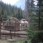
One highlight was what I will assume is Skoki Lodge’s horse corral, somehow carved out of the slope by the access road. “That looks like a horse corral,” I said as I walked towards it, “but it can’t be” and of course it was, complete with horses. What a wild, unnatural place for a corral; yet it works for them. It also suggests that all those stories about the lodge’s horses regularly heading up the Pipestone are just that. If they can stable their horses on the access road then going up the actual Skoki trails would be quite a lot quicker and much less hassle.
Trail’s end. A gate, a huge, full parking area, and a wait in the sun with something resembling cell signal. It was mid-afternoon, and people went by; almost entirely Skoki Lodge employees opening and closing the vehicle gate. I walked around in the sun, looking insane, holding my phone up for those ghosts of 3G bouncing up from Lake Louise as I got back in touch with the world. A solo German hiker pulled up, took his time getting his pack out, then we chatted a bit about his pending hike up the hill. It was rather late in the afternoon, but the hike is so utterly easy in every way except the aerobic that I didn’t worry about him; I did, however, make some rueful comments about his late start. He perhaps took them too seriously. But, then again, when I saw myself in the mirror later that evening I realized I looked absolutely like death warmed over; I looked worse after five days of that than fourteen days on the South Boundary.
But since I felt that way too, I can’t complain. Banff and I just do not get along.