


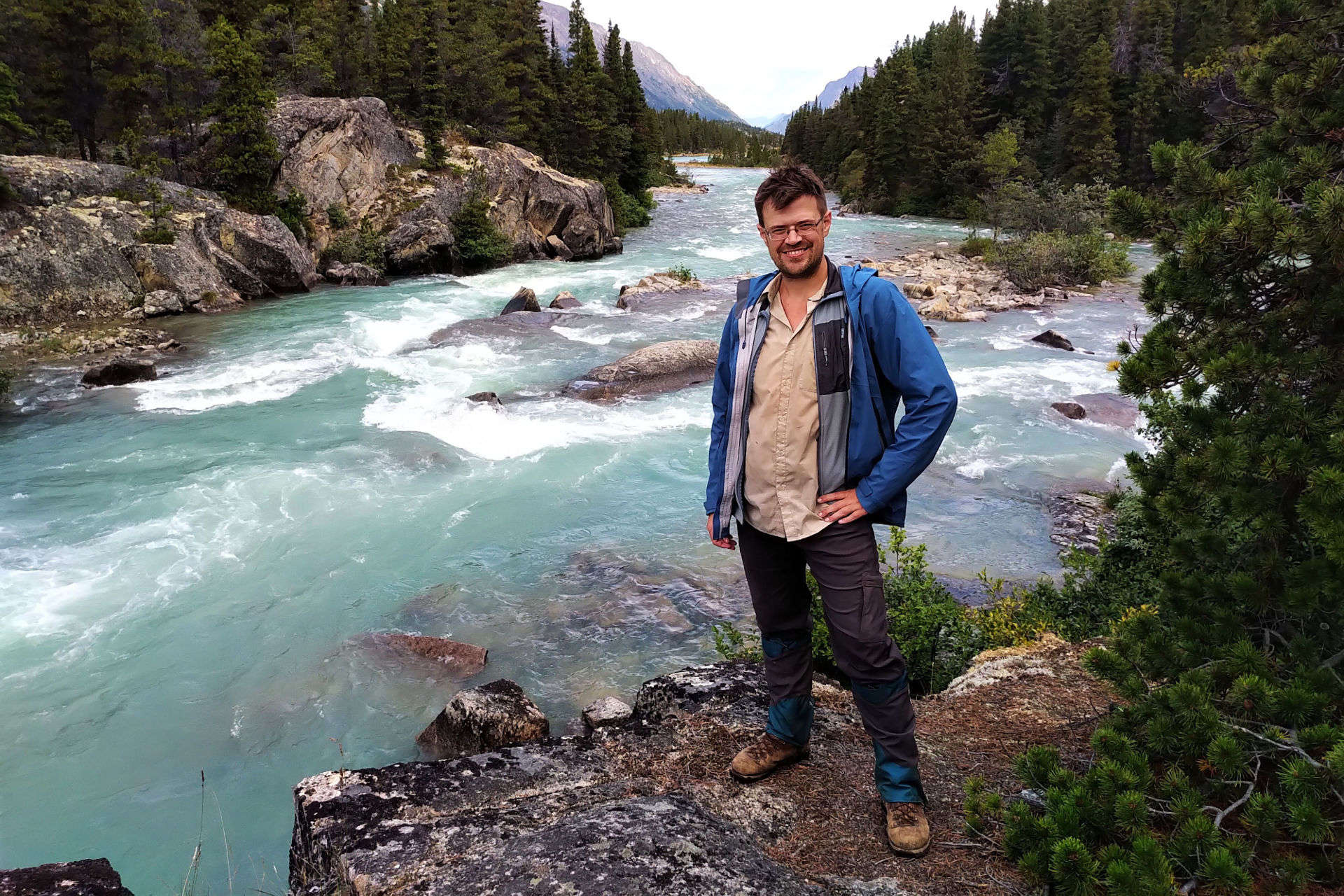
Jasper National Park’s North Boundary Trail was the dream hike.
The story begins nearly ten years ago, in an embarrassingly gorilla-brained fashion, as I was becoming interested in backpacking but realized I hardly knew where I ought to do it. So on the Jasper National Park website I opened the backcountry trail map. Page one was a list meaning nothing; I scrolled to the map on page two, and almost the first thing I saw was a dramatic red line, with one end in Mount Robson (familiar enough) and the other at a lake between Hinton and Grande Cache I’d never heard of, rambling through utterly obscure wilderness in the north of the park and therefore the top of the map, and the words—not even “North Boundary,” but “North Boundary Side Trails.”
North Boundary Side Trails. What could that mean but a vast, remote land of history and possibilities? Research proved those impressions true. But the main route alone is a hundred-mile hike, which seemed to call for practice. Then, serious flooding in July 2021 destroyed two important bridges, over Chown and Twintree creeks, and closed the usual western terminus at the Berg Lake Trail. Berg Lake did not re-open until June 2025; those bridges have not been replaced and seemingly never will be.
The dream continued, but the dreamer was nervous. I have good practice fording rivers but work to keep them tame; Twintree Creek is never tame. Those who had hiked over the Twintree Creek bridge called its loss a “gamechanger.” I would think about Twintree Creek in January at the grocery store. It lived rent-free in my head.
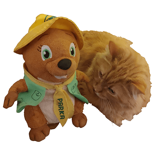
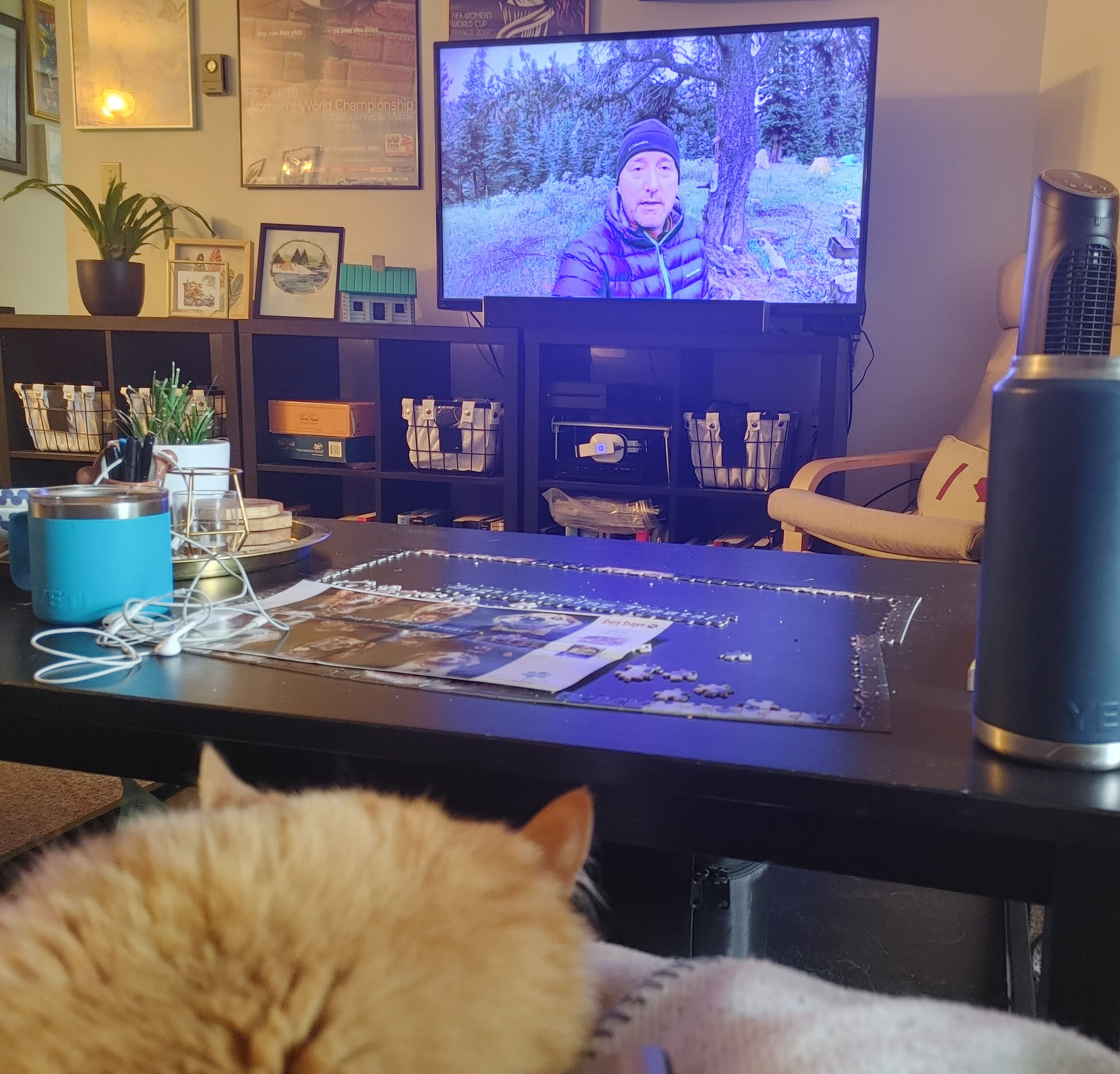
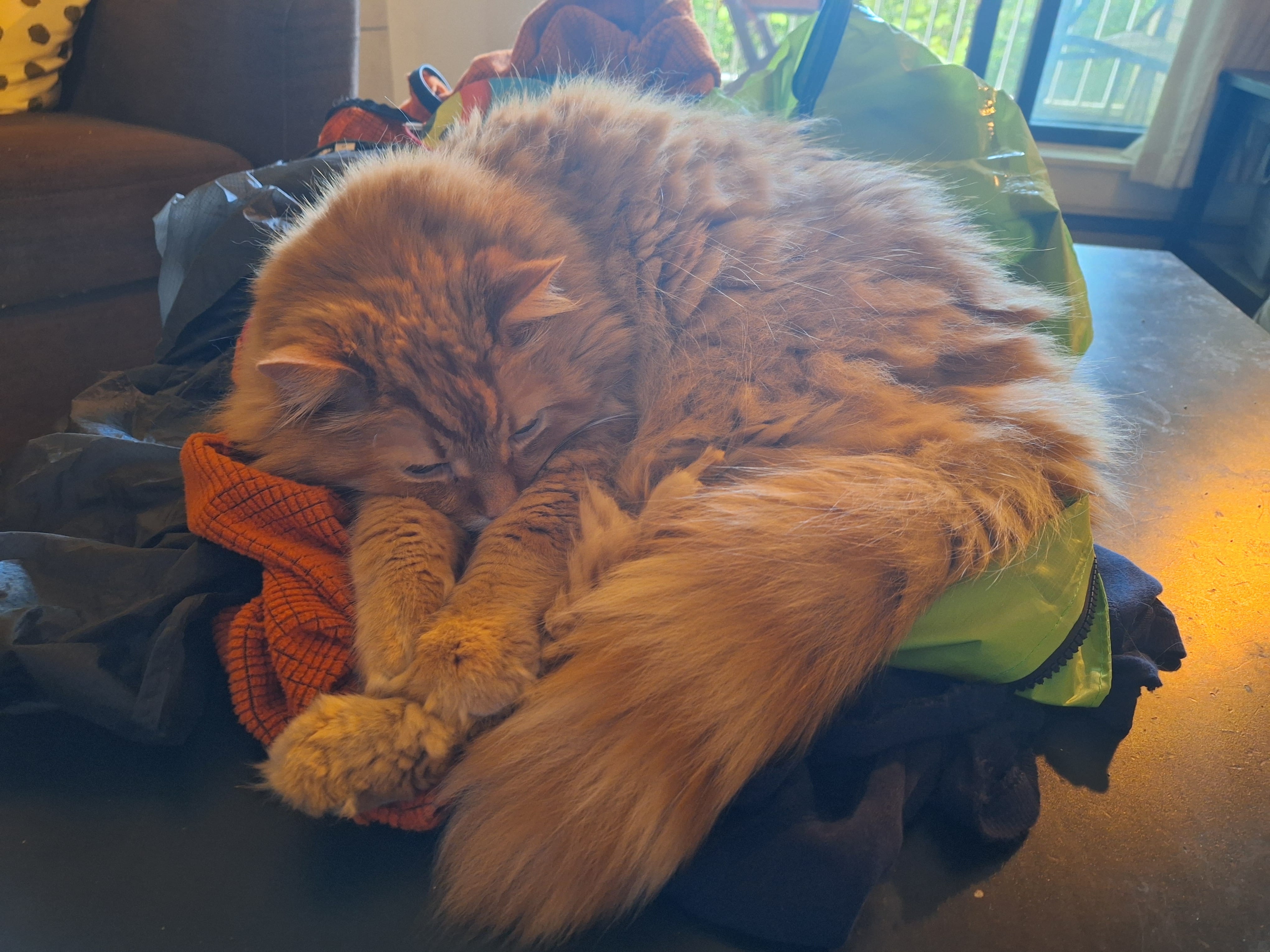
The creeks push responsible hiking on the North Boundary out to September, when water levels come down. September was also the worst month for the only person I trusted to look after my cat. Presley was a cancer-stricken, cantankerous kitty who was affectionate with me, and only after the fact did I realize how close he’d been while I dreamed of the North Boundary. A photo of Presley watching Stuart Howe’s North Boundary Trail video; him hanging out as I hit Jasper’s backcountry trail website. One of my favourite photos is Presley stealing my chair in front of a copy of the Canadian Rockies Trail Guide. He was never a camping cat, but always a part of it, even if just by cuddling on my gear so orange fur would cling to everything.
On Holy Saturday 2025, Presley died. From his old self to gone in two weeks. He was part of my dreaming more than I realized at the time, and chose his moment with love, so I could live the dream after all.
Presley often was on my mind as I hiked, not in any spiritual sense that he was joining me from some kitty heaven, but because he’d become so closely associated with plans that were now experiences. As a memorial hike, it worked because I remembered him, and as a spur to go on, it was part of a sense that God would not have thrown such a red carpet before me on this hike had he not wanted me to finish it. My dream hike came true, and there has been nothing quite like it.
Never miss a ramble
Ben will hike to your inbox! New posts and nothing else.
Hiking Jasper National Park’s North Boundary Trail has always called for thought. Even in the good old days, when dozens of bridges let hundreds of hikers enjoy the trail all summer and fall, it was still a hundred miles long and few would hike it in less than a week. Today, it has a very short season and some dangerous fords. Once upon a time it could easily be somebody’s first long backpack, with an appealing combination of remoteness and ease: isolated but otherwise unchallenging with well-kept campsites, good trail, few technical aspects, and plenty of predictability. No longer.
The trail’s been deteriorating for decades and in 2021, flooding on the western half of the trail took out two of the three most important remaining bridges, over Twintree and Chown Creeks, plus the entire Berg Lake Trail. Some people have done the trail since, often on horseback, but it’s become both more difficult and more obscure. All the YouTube videos are now somewhat out of date and the Twintree ford in particular has probably been taken on foot by fewer than twenty people, of whom I am now one.
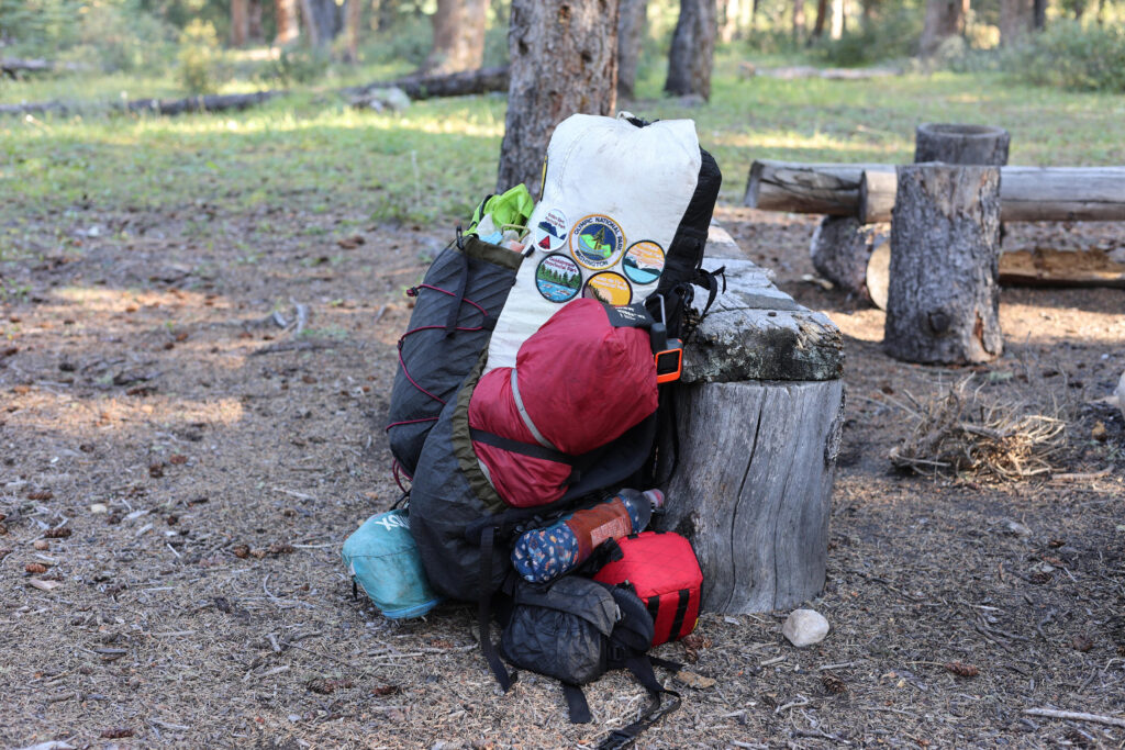
Naturally, I put a good deal of planning into this trail, and (not least thanks to God providing some spectacular weather) it worked. I have experience, but not much fitness, and it proves the North Boundary Trail remains possible for the hiker, but you need to know what you’re getting into. Here is how I arranged my own hike.
Unless otherwise noted, all content copyright 2016—2026 Benjamin Massey. All rights reserved. Any icons or trademarks used are the sole property of their respective companies. Powered by Wordpress.


2