

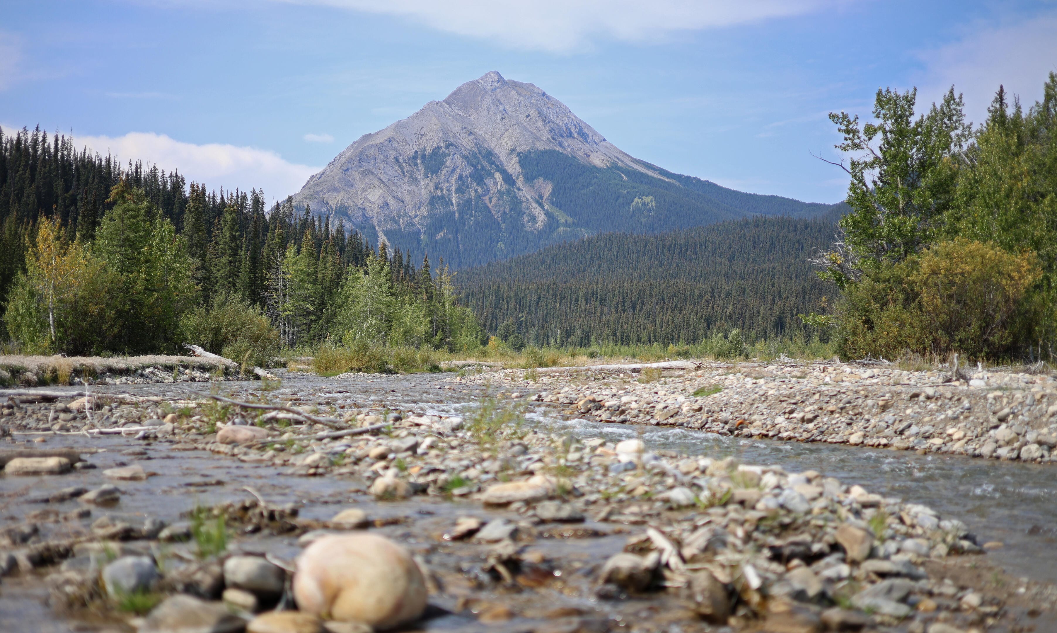
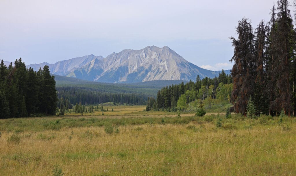
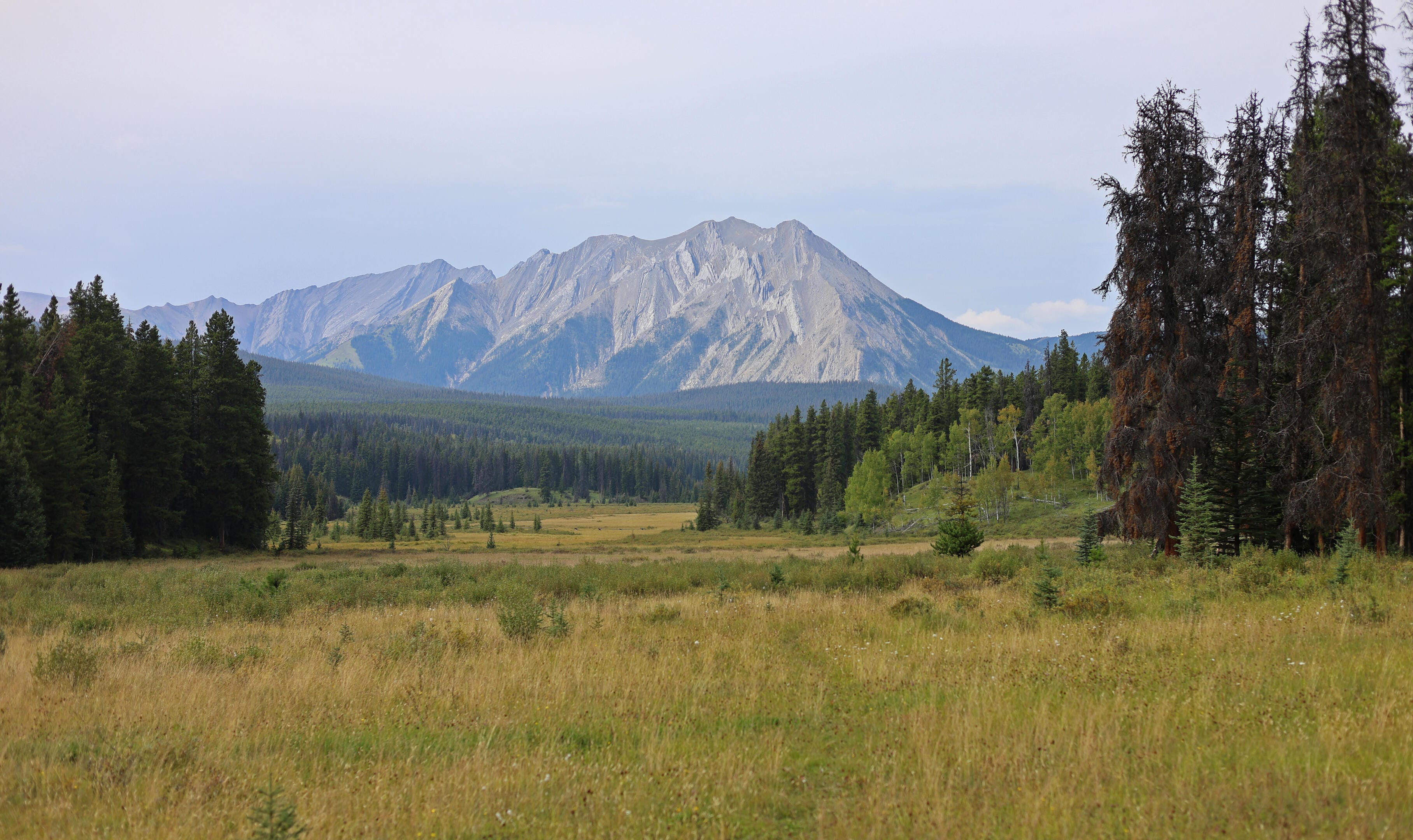
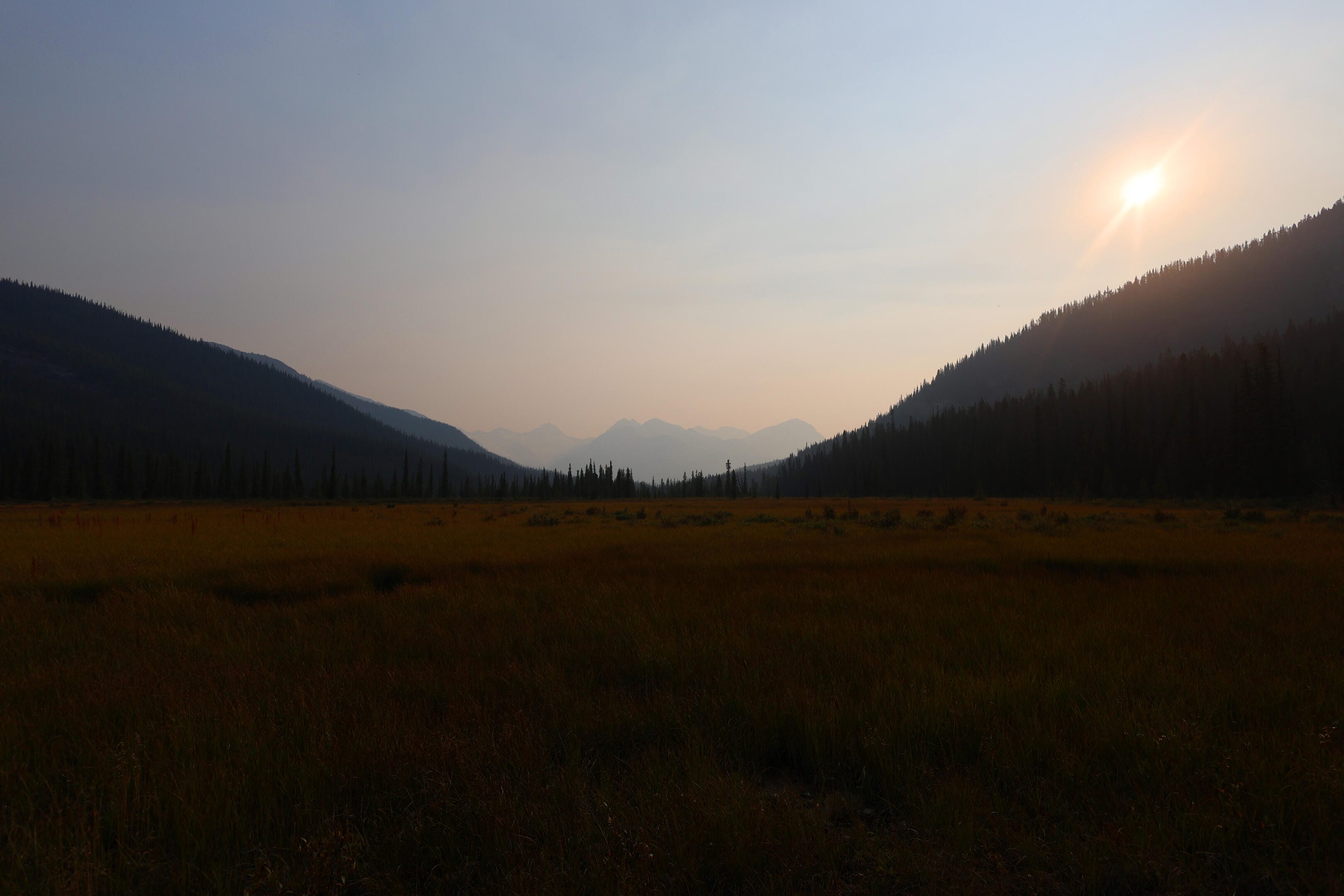
Jasper National Park’s North Boundary Trail was the dream hike.
The story begins nearly ten years ago, in an embarrassingly gorilla-brained fashion, as I was becoming interested in backpacking but realized I hardly knew where I ought to do it. So on the Jasper National Park website I opened the backcountry trail map. Page one was a list meaning nothing; I scrolled to the map on page two, and almost the first thing I saw was a dramatic red line, with one end in Mount Robson (familiar enough) and the other at a lake between Hinton and Grande Cache I’d never heard of, rambling through utterly obscure wilderness in the north of the park and therefore the top of the map, and the words—not even “North Boundary,” but “North Boundary Side Trails.”
North Boundary Side Trails. What could that mean but a vast, remote land of history and possibilities? Research proved those impressions true. But the main route alone is a hundred-mile hike, which seemed to call for practice. Then, serious flooding in July 2021 destroyed two important bridges, over Chown and Twintree creeks, and closed the usual western terminus at the Berg Lake Trail. Berg Lake did not re-open until June 2025; those bridges have not been replaced and seemingly never will be.
The dream continued, but the dreamer was nervous. I have good practice fording rivers but work to keep them tame; Twintree Creek is never tame. Those who had hiked over the Twintree Creek bridge called its loss a “gamechanger.” I would think about Twintree Creek in January at the grocery store. It lived rent-free in my head.
The creeks push responsible hiking on the North Boundary out to September, when water levels come down. September was also the worst month for the only person I trusted to look after my cat. Presley was a cancer-stricken, cantankerous kitty who was affectionate with me, and only after the fact did I realize how close he’d been while I dreamed of the North Boundary. A photo of Presley watching Stuart Howe’s North Boundary Trail video; him hanging out as I hit Jasper’s backcountry trail website. One of my favourite photos is Presley stealing my chair in front of a copy of the Canadian Rockies Trail Guide. He was never a camping cat, but always a part of it, even if just by cuddling on my gear so orange fur would cling to everything.
On Holy Saturday 2025, Presley died. From his old self to gone in two weeks. He was part of my dreaming more than I realized at the time, and chose his moment with love, so I could live the dream after all.
Presley often was on my mind as I hiked, not in any spiritual sense that he was joining me from some kitty heaven, but because he’d become so closely associated with plans that were now experiences. As a memorial hike, it worked because I remembered him, and as a spur to go on, it was part of a sense that God would not have thrown such a red carpet before me on this hike had he not wanted me to finish it. My dream hike came true, and there has been nothing quite like it.
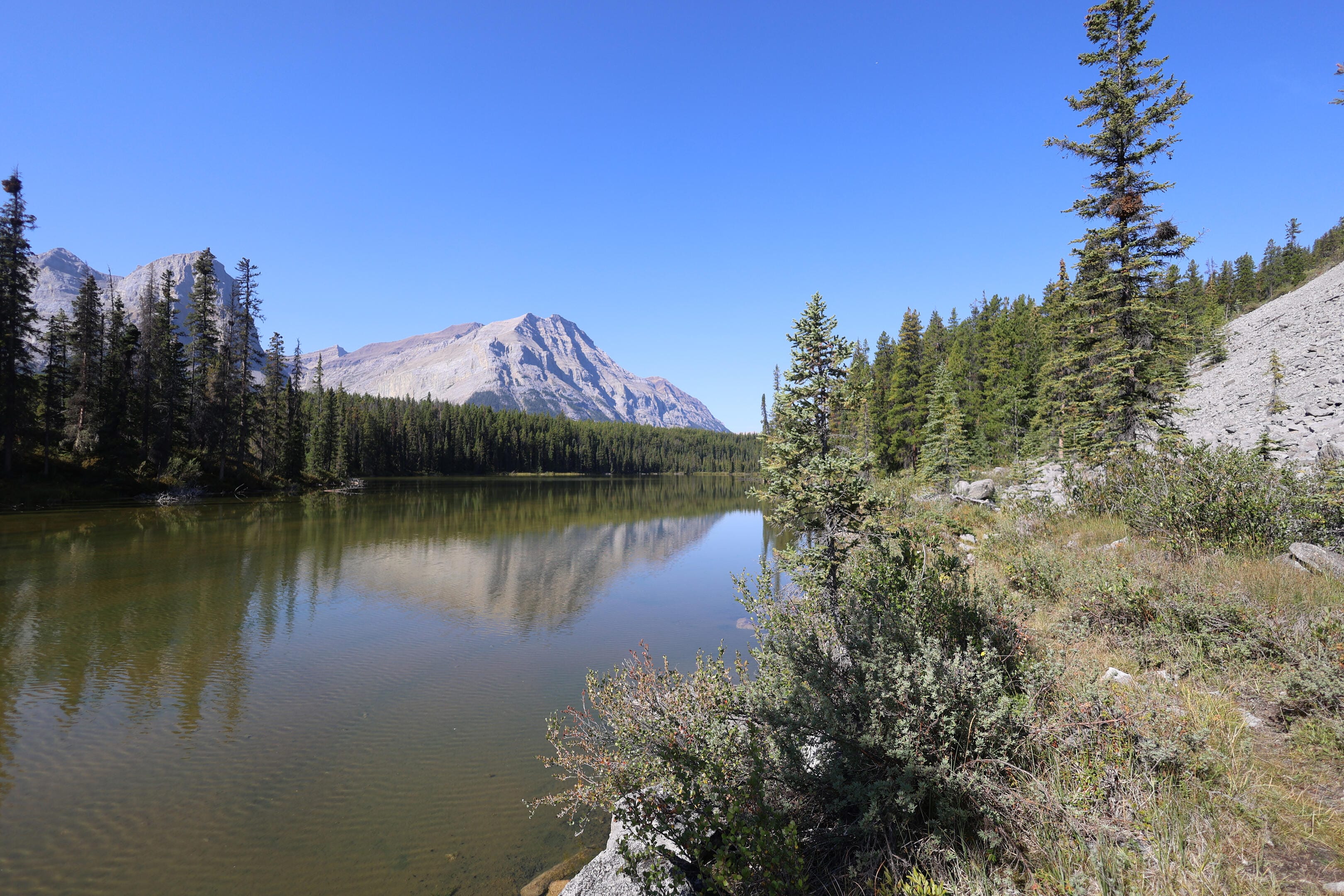
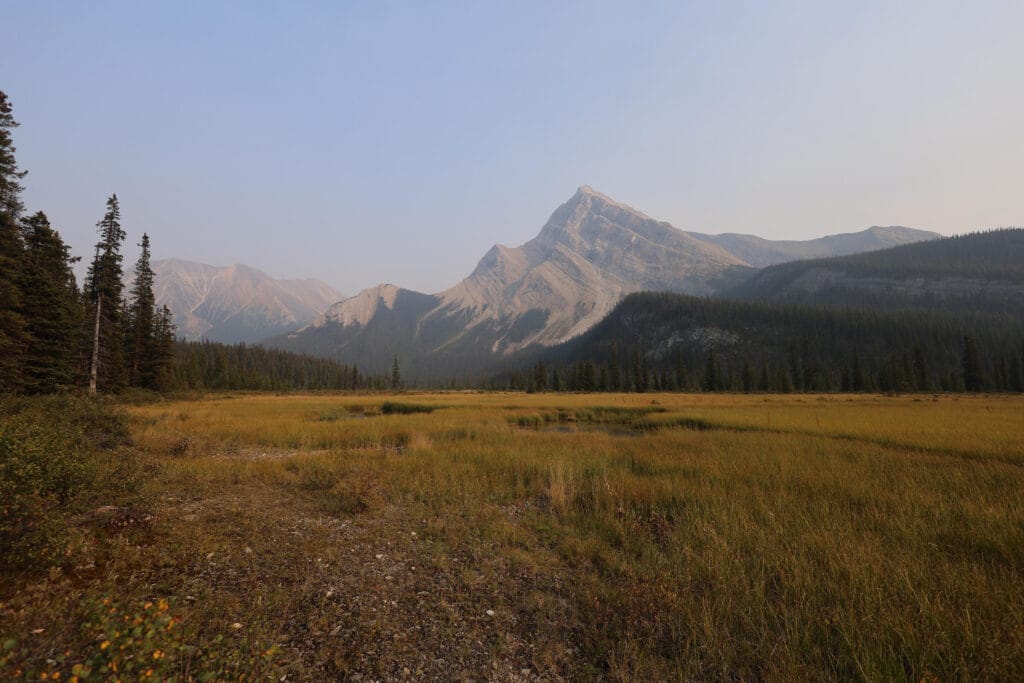
Viewed on a map, the North Boundary is the most obvious trail possible. There are only two sedate mountain passes over a hundred miles through the mountains and across the Continental Divide, tracking the Snake Indian, the Smoky, and the Robson rivers. On horseback it is accessible for much of the summer depending on the strength of your mounts and your tolerance for biting insects. Several meadows are perfect for hungry horses and in earlier decades, when more of today’s fields of willow and alder were grassland and the treeline was lower, there were even more. As such it has been known long enough that, unlike the Earl of Southesk breaking in the South Boundary Trail, there was really no single expedition that you could say made the North Boundary happen. Fur traders and trappers used it as a natural highway through very productive country, but for commercial reasons they moved fast and left few written records of use to competitors. When they tried, a lack of equipment, training, existing literature, and limited knowledge of what lay beyond their own routes led to sometimes-preposterous blunders1. As a result the early Canadian alpinists, though they wanted to follow the old trails, had the devil’s time finding them, and often when they hit a route it was a legitimate rediscovery.
The recreational history of the North Boundary Trail starts in 1910, when outfitter John Yates led three European climbers on a quick escape from the Mount Robson area, from Berg Lake to Rock Lake. Yates, born in England, knew the country: he had been running mail from Edmonton for a few years, had gone from Moose River to Berg Lake in 1907, and was the first man the Reverend George Kinney approached for help on his famous 1909 attempt on Mount Robson. Yates turned Kinney down, thinking it too early in the year, and as Kinney’s awful journey proved Yates was right. Rather than Robson, Yates became most associated with the North Boundary: in 1911 Yates, Arnold Mumm, Norman Collie, and Moritz Inderbinen returned to the North Boundary Trail from Celestine Lake, not just for Mount Robson but to mountaineer and explore in that mapped but underappreciated land from the Snake Indian River to Robson Pass. They achieved a notable first ascent of the mountain today called Monte Cristo, notable not because of its grandeur (it is the 17th-most prominent peak in Jasper and not much talked-about) but because one of the first ascenders was Yates’s bulldog Hoodoo, after whom today’s Hoodoo warden cabin is named.
M. B. Williams’s Jasper Trails, an official park guide of the 1930s, says of the North Boundary that it was “particularly rich in big game,” a reputation it maintains. Accurate, but unromantic. Far more capturing the mood is another official Parks Canada publication, The Call of Untrodden Ways by “a well-known Canadian” of 19232:
There is something in the heart of a man which stirs with longing to be up and away—
“And there’s no end of voyaging when once the voice is heard.
For the river calls and the road calls, and oh! the call of a bird!”And the thing is possible. You can go and know in your experience the thrill of the quest and the rapture of discovery. In Jasper itself are men skilled in the ways of the wilds; ready to equip and mount you and your party for the trails that are calling. Let a man commit himself to the venture and there await him the greatest days of his life.
The story is not about anywhere in particular, but describes the North Boundary to a tee, and a majority of the photos in the little monograph are from there.
NOTE: for the first three days until leaving Blue Creek, my GPS was not recording my track. Thank you to Stuart Howe of Howe’s the Hike for permission to use his 2019 GPS track to illustrate those days. The path you see is Stuart’s, and is accurate enough; horizontal distances are taken from the National Geographic Jasper North map, while elevations and hiking time are my own as they should be accurate. Since Stuart’s tracks are a bit longer than the “official” distances, that makes my North Boundary Trail add up to an even 100 miles although the trail distances add up to 99.3. I don’t have a problem with that, and including things like the near-mandatory detour to Welbourne Falls, suspect it’s about right.


Although the hike itself, in the end, was incredible for how everything went right, there was plenty of nonsense in the months ahead that failed to derail the trip, but could have had I wanted it to.
The last was picking a great time for a summer flu. I spent Thursday in seclusion, coughing up a storm, sleeping without ceasing, so sore that lifting my backpack was unbearable, and barely in control of my mental processes. On Friday I felt better and on Saturday, my first day of hiking, I felt an optimistic good enough. Although I’d have had to have been very frail indeed to blow off the North Boundary Trail for the flu, my cough did not go away for the duration of the hike (or for that matter for days after). I was a long way from my best.
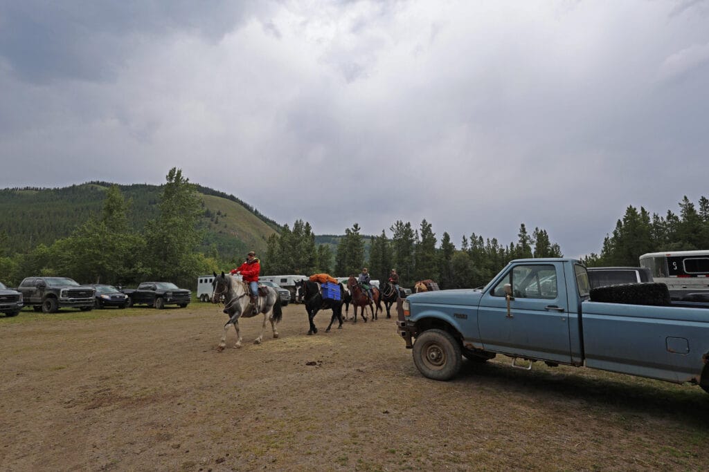
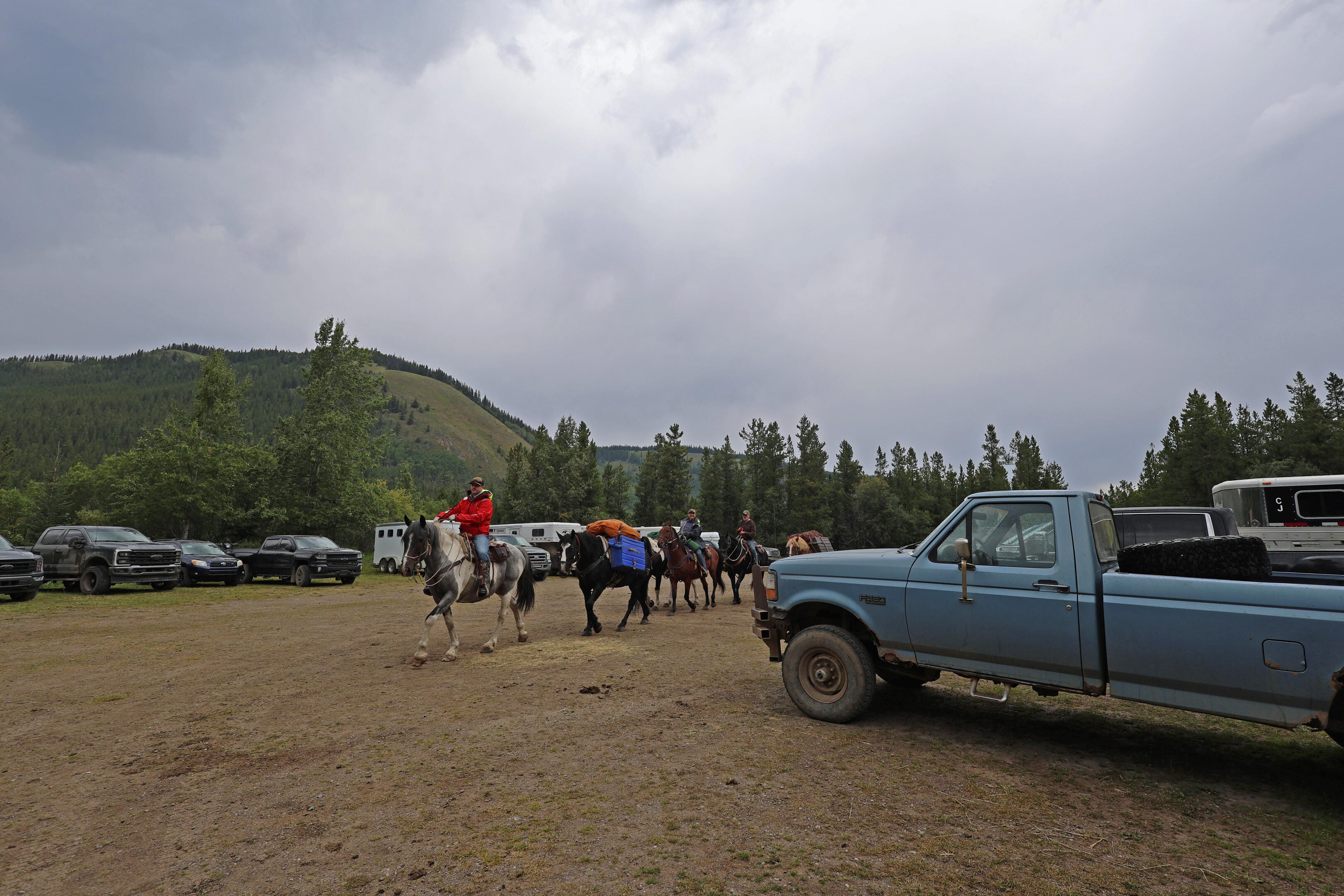
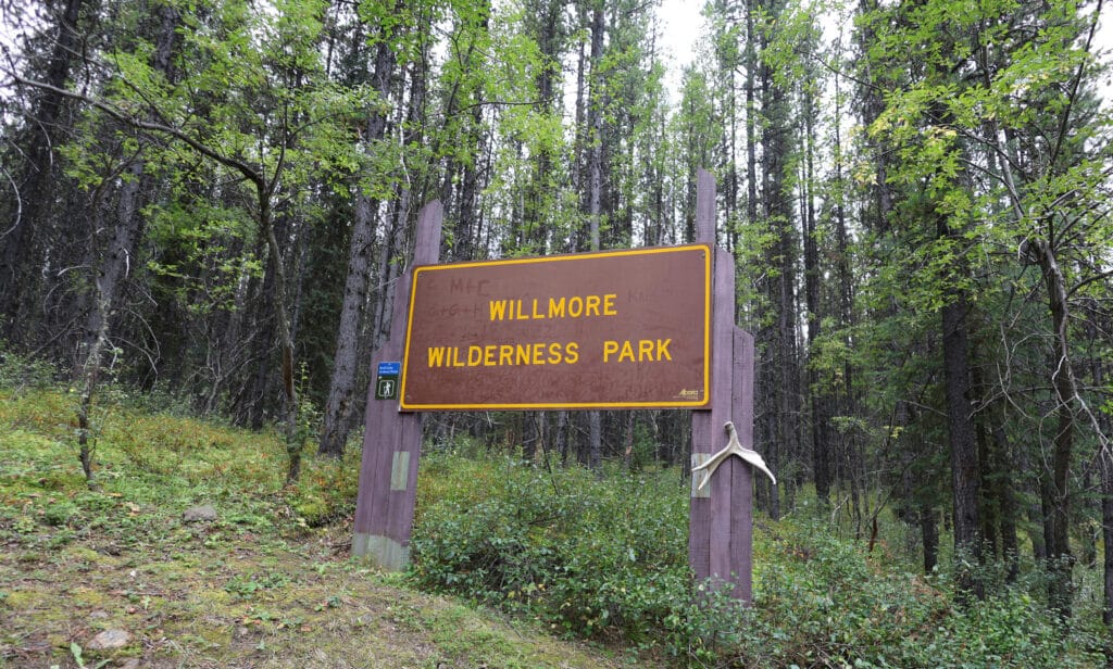
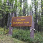
Though some of that may have been the drive. My dad had heroically volunteered to drive me the five hours from his place to the North Boundary’s eastern trailhead, at the Willmore Wilderness staging area right at the back of the vehicle-accessible area of Rock Lake Provincial Park. The last couple dozen kilometres were over gravel road but my dad has a truck, it is good gravel, and he has spent more time on it than the average bear. However, as we came up Alberta Highway 40 towards Grande Cache, it started to rain. On the gravel the rain got good, potholes filled with water, and I remembered that Rock Lake was prone to flooding. I remembered this better than I remembered the directions (we turned left at the elk when we should have turned right), but luckily the rain had pretty well abated when we reached the Willmore staging area.
Curiously, although the North Boundary is no longer much-hiked, the trailheads are popular. The west end, at the Berg Lake trailhead that leads up to Mount Robson, needs no introduction; the east end, at Rock Lake heading into the Willmore, is less of a circus but still an equestrian paradise, and on Labour Day weekend the parking lot was full of horse trailers. My dad and I loitered away the last of the rain as I waited for a horse party to go ahead of me; the equestrienne I talked to was off on a ten-day journey. She had seen countless wild places in this part of Alberta, but with so much horse trail in the provincial wildlands had hardly bothered to dip into Jasper National Park at all.
What a trail this was going to be if I managed it. But I was a little sick, quite tired, apprehensive with a hundred miles of hiking to do, and my dad had a long trip home over wet gravel. Very few people had hiked the North Boundary Trail end-to-end since the 2021 flooding. What I couldn’t know at the time was there were at least two other hiking parties ahead of me on the North Boundary that week, plus another about to start towards me. I had expected to be pretty much alone but, in a way that was obvious in hindsight, was not the only one who saw the Berg Lake Trail re-open, looked at the first week of September, and turned a dream into a plan.
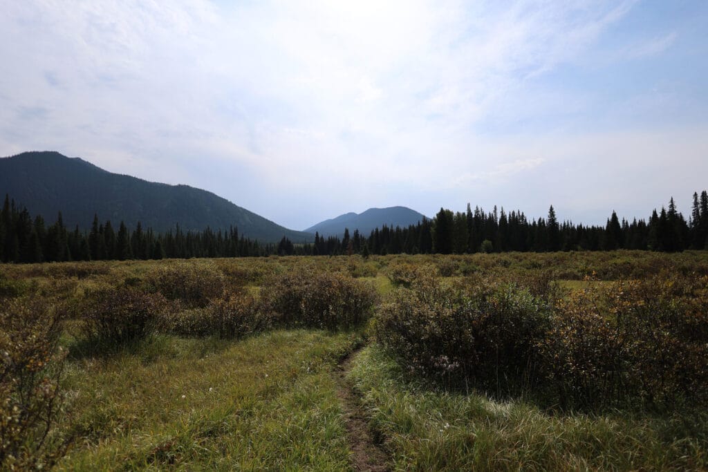
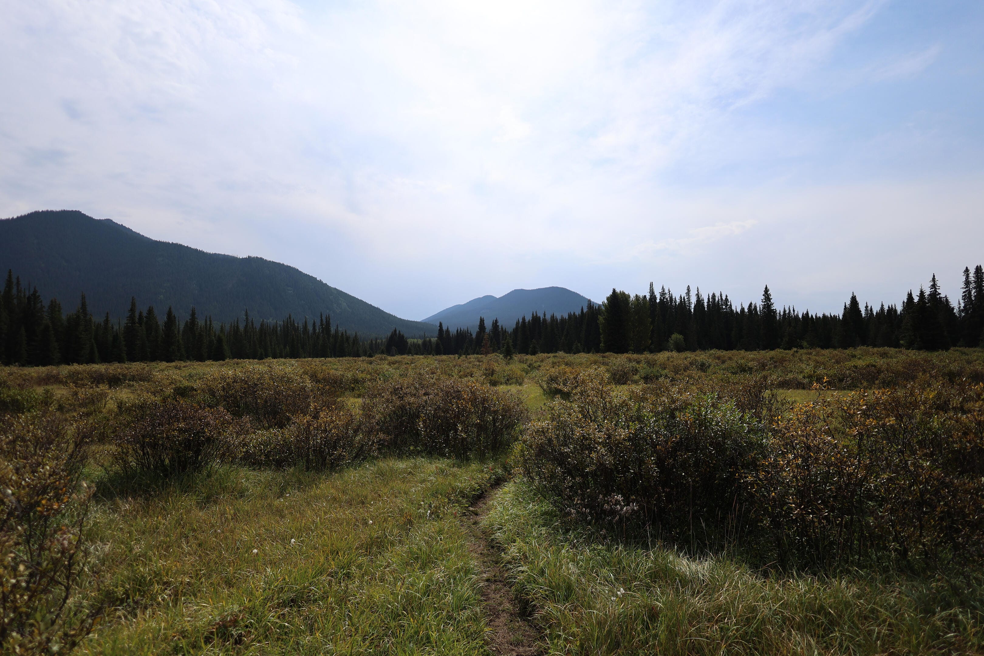
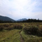
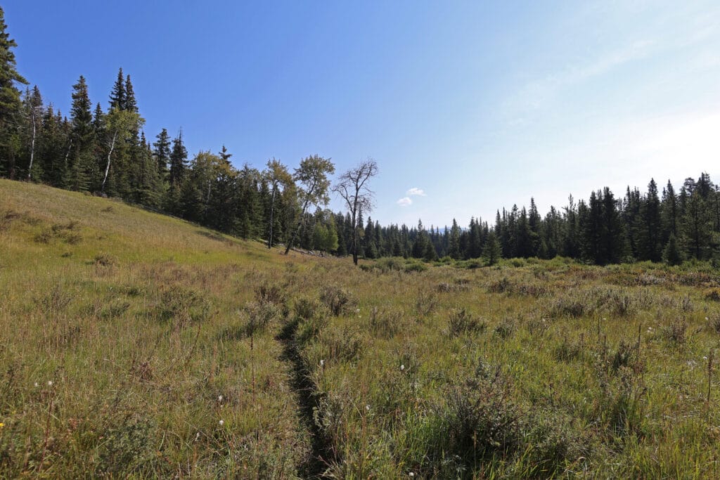
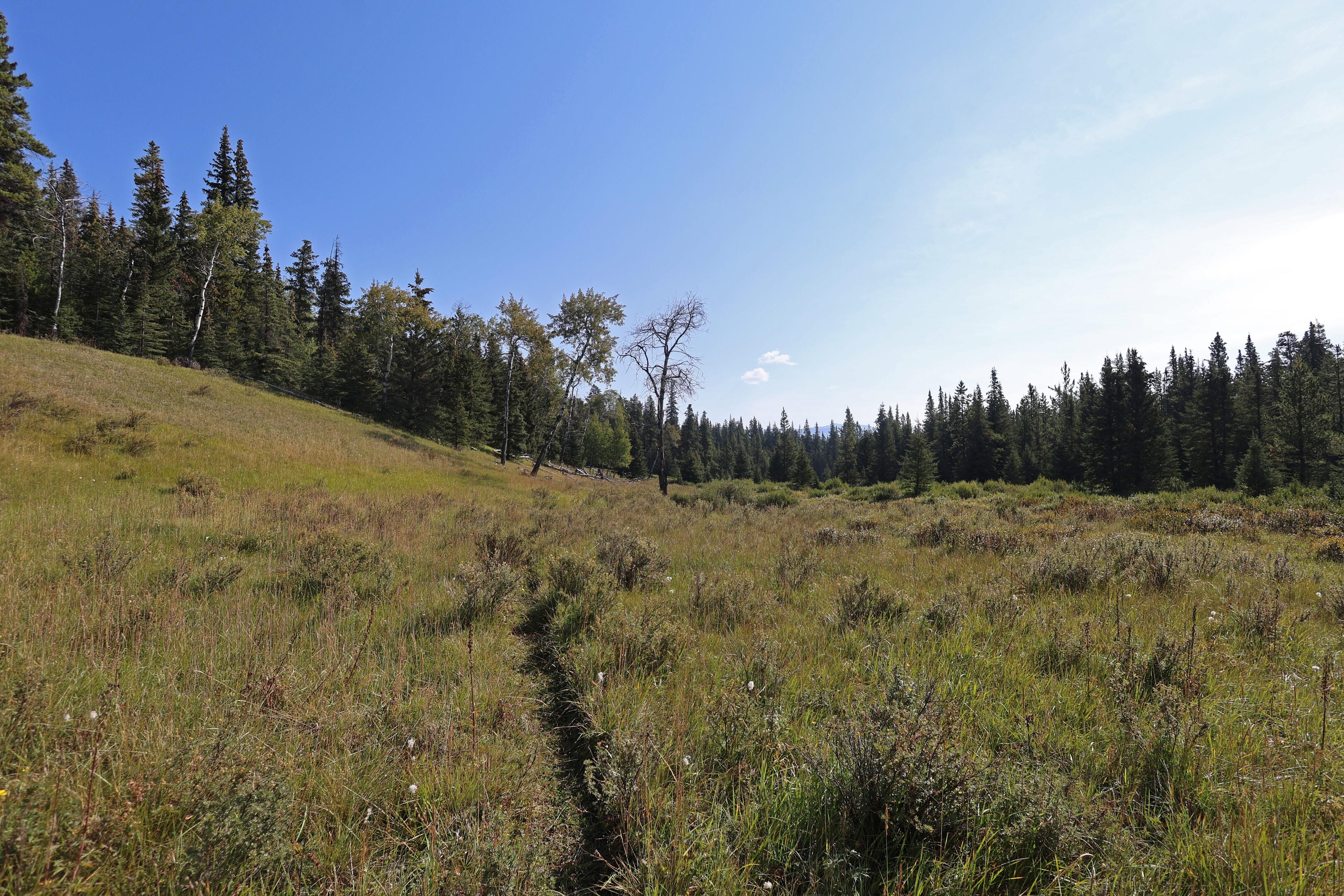
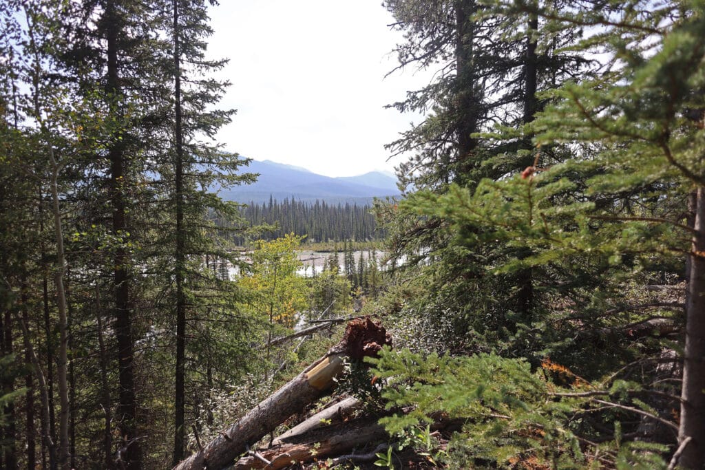
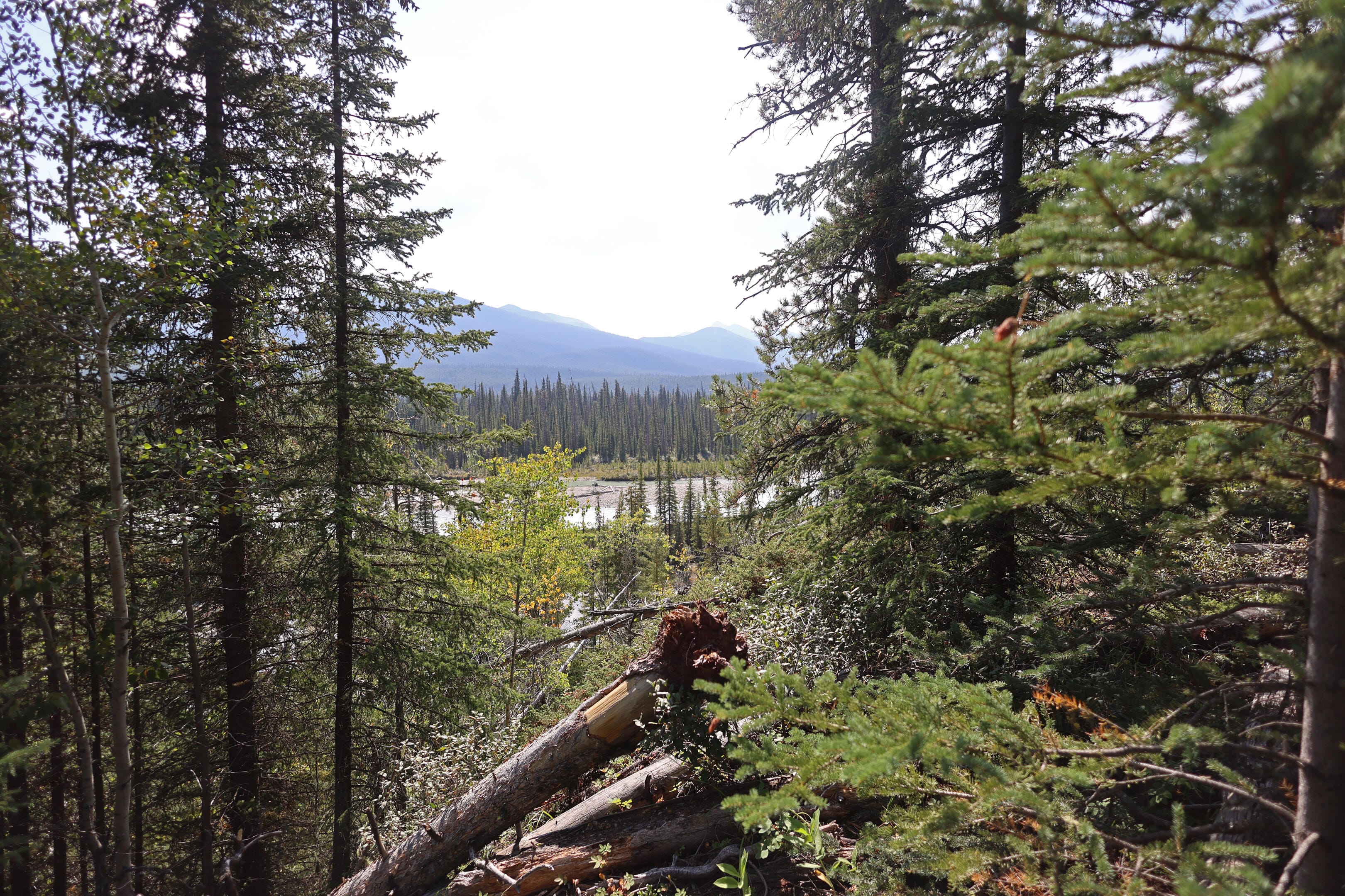
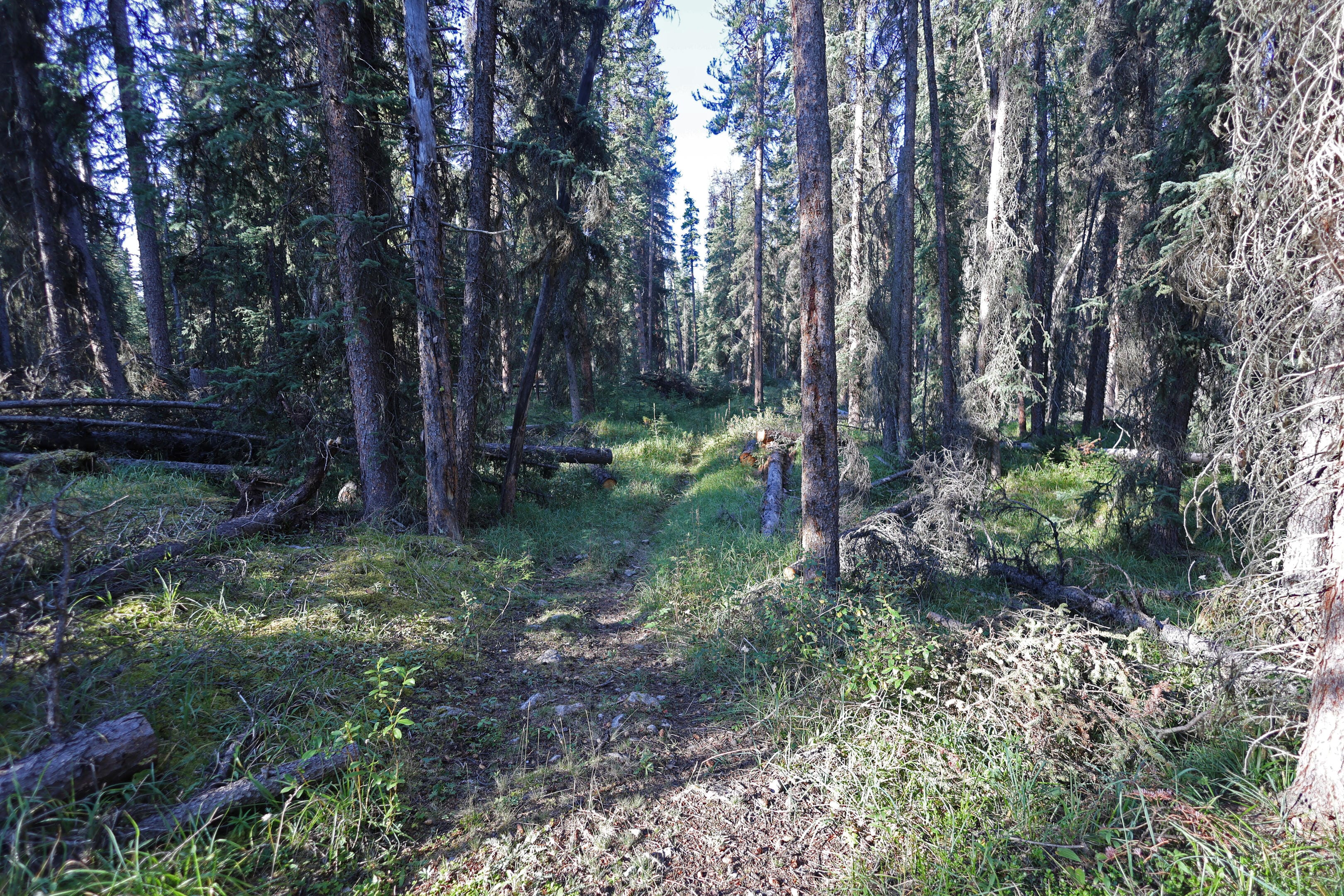
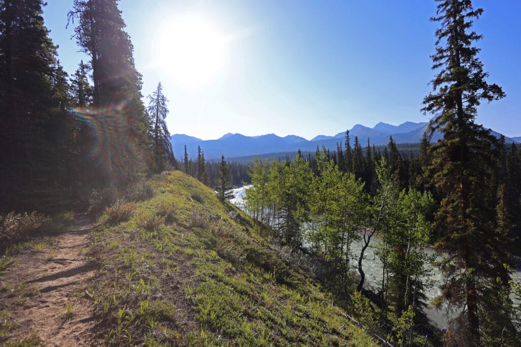
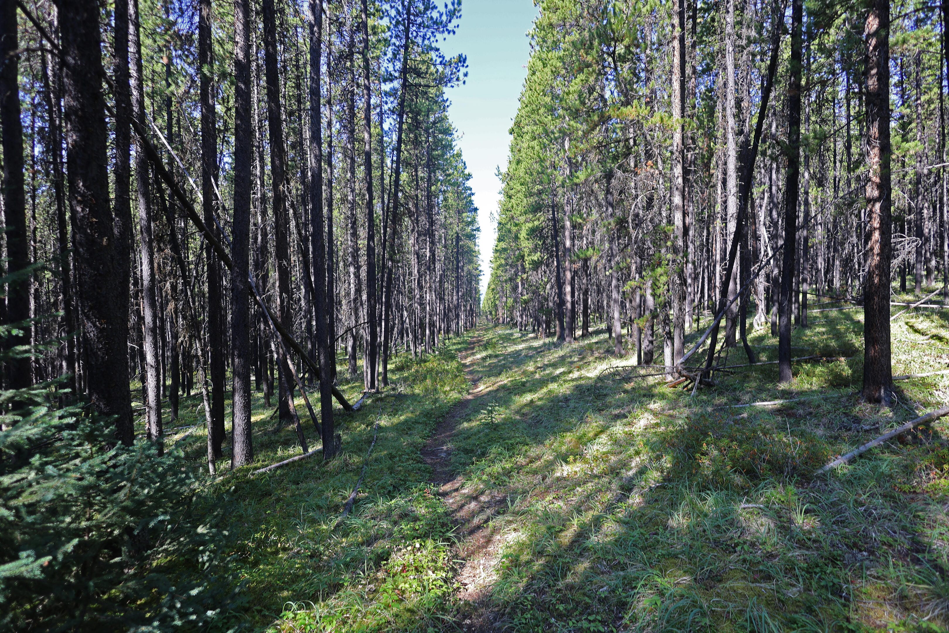
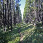
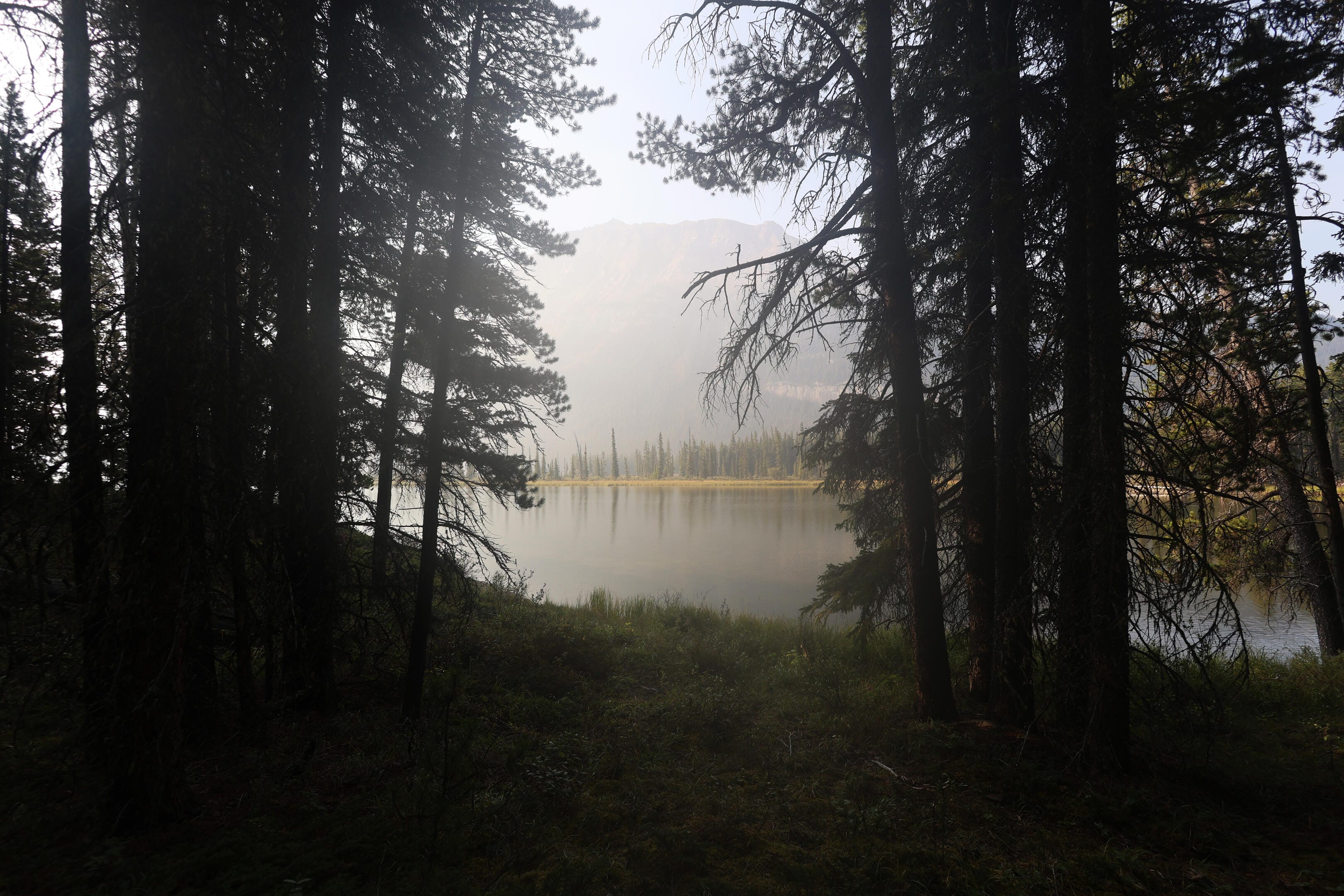
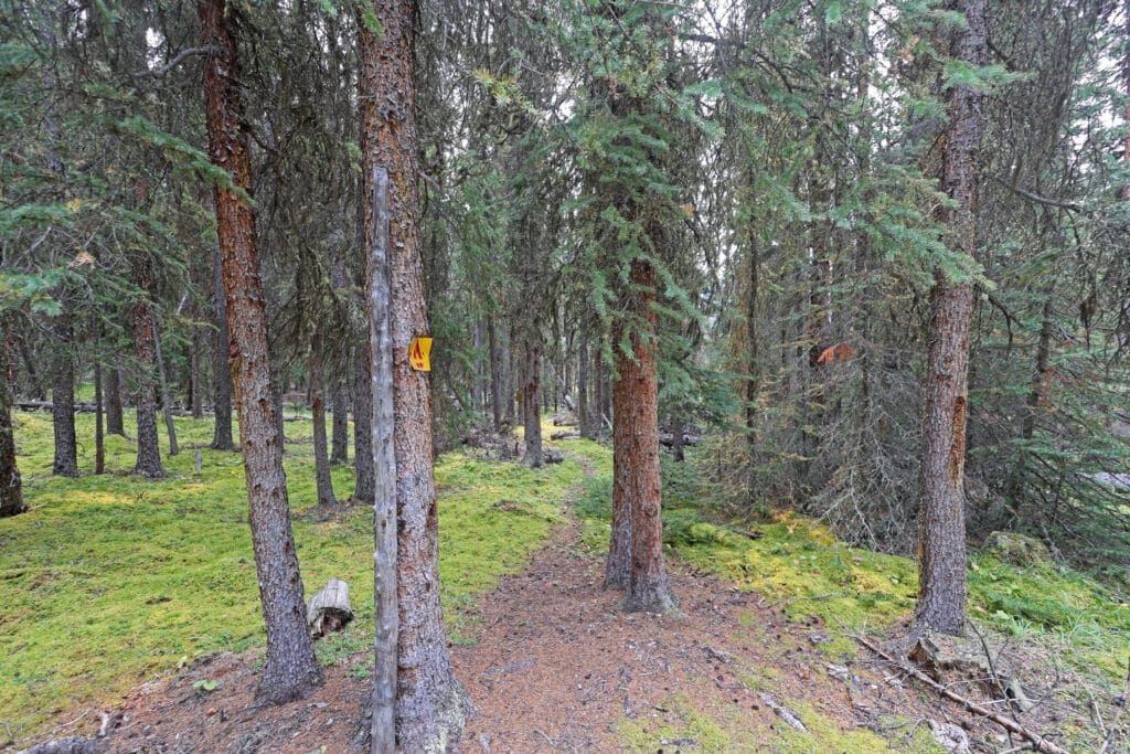
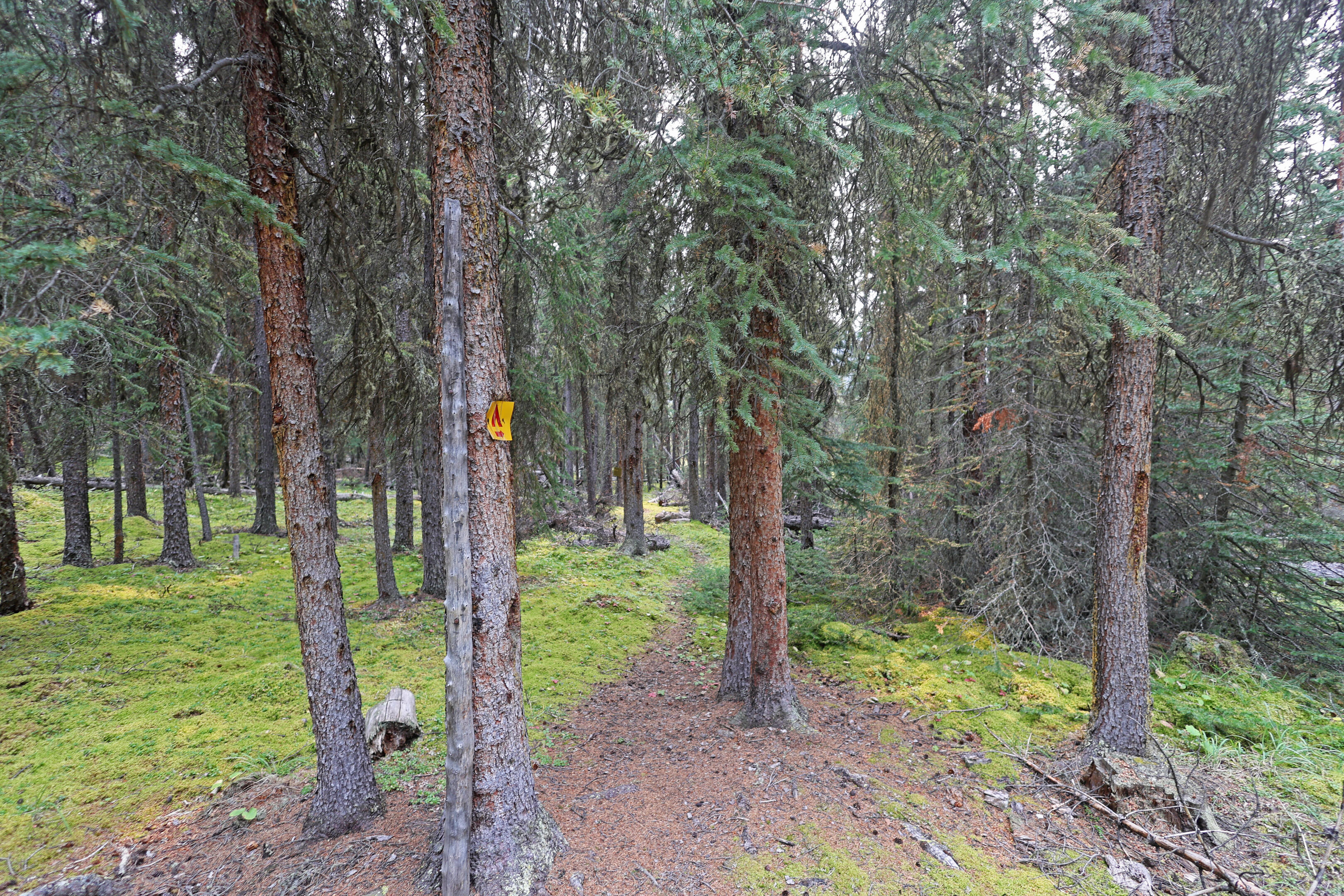
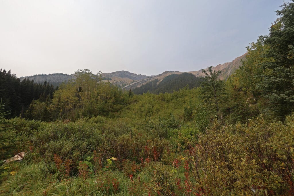
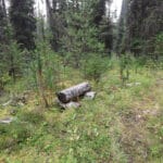
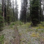
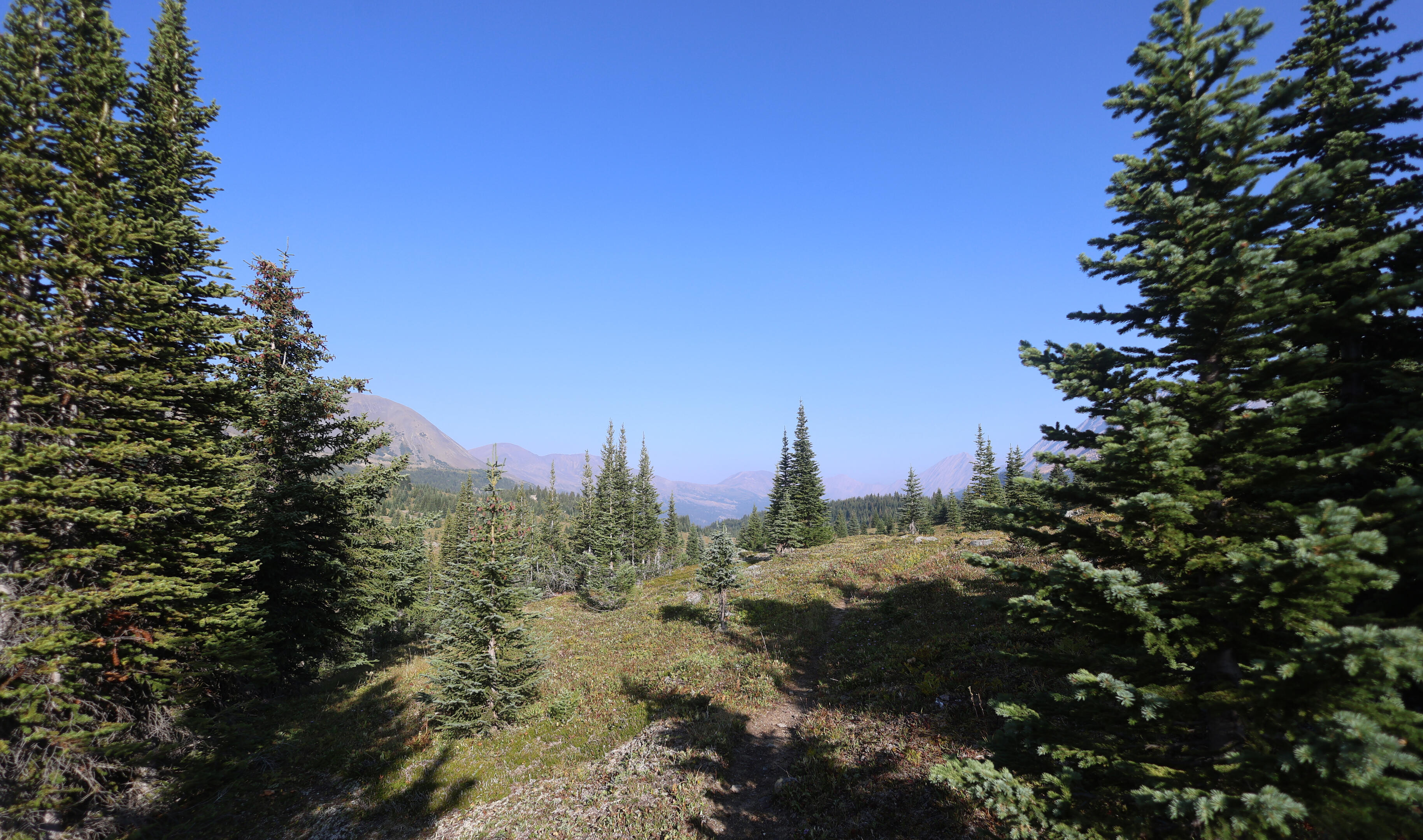
That’s still not many people in a hundred miles, but the isolation doesn’t hit at once. From Rock Lake to the Jasper park boundary there is little to see and a broad path in tremendous condition. Easy walking, with bits of history: I saw what might have been a rusting portable old fire grate or some form of equestrian gear I am utterly unfamiliar with by the side of the trail. The path was not at all untrodden, but the call of a bird was much to be heard, as well as the indignant flapping of the grouse, the stupidest animal in the world, stagger-flying off the trail in great puffs of indignity that someone would dare intrude yet again. The hard ground admitted few tracks and horses predominated. Yet I was, in fact, alone; from the time I re-overtook the horse party on the way to the Willmore not I did not see another soul for a few days.
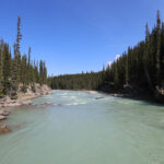
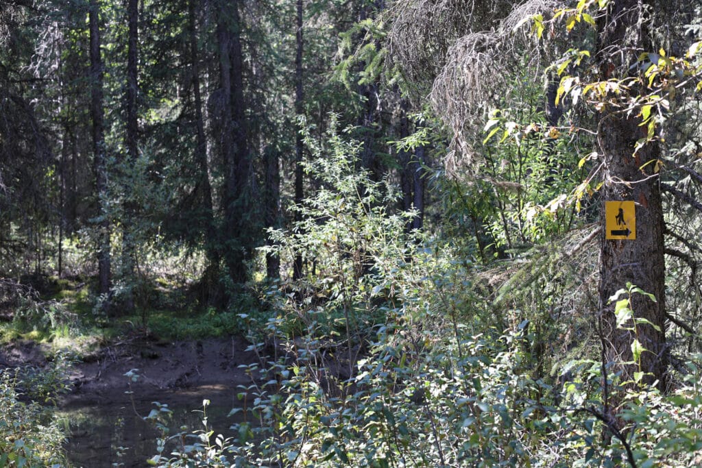
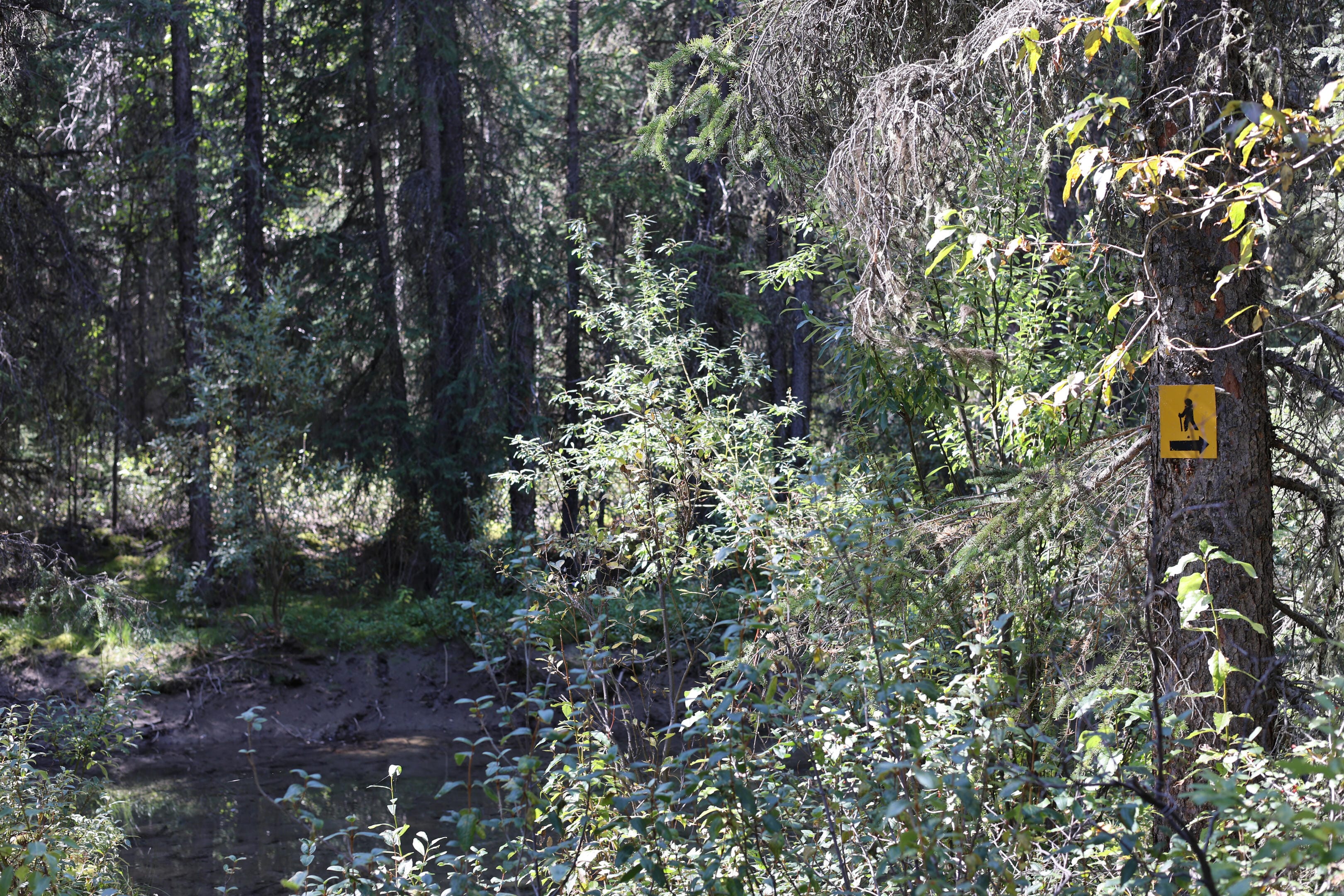
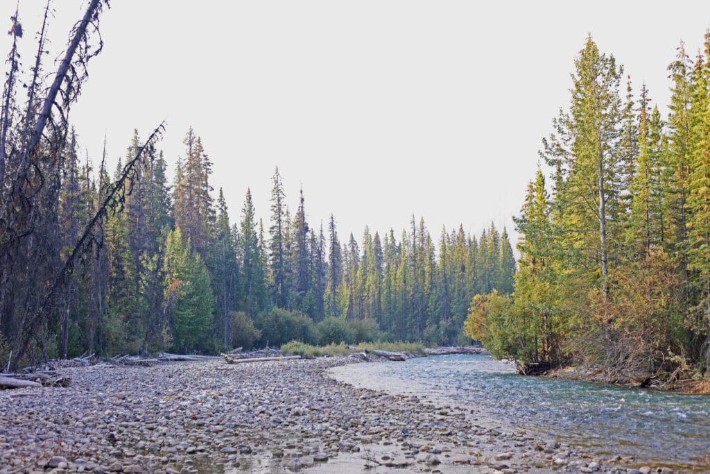
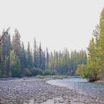
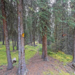
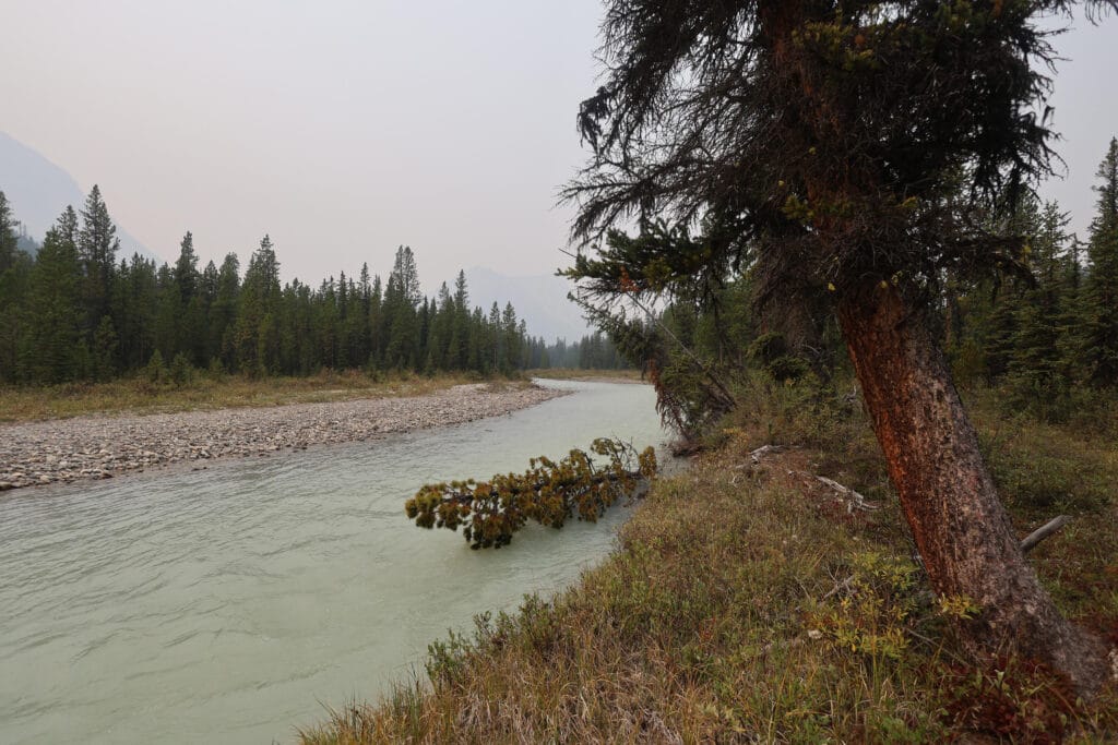
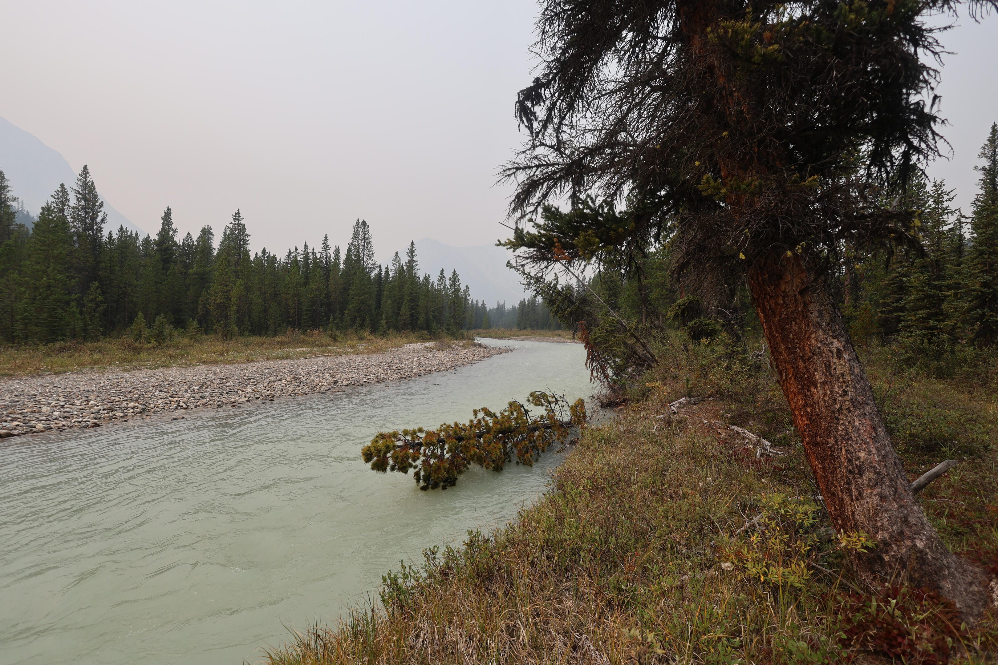
The first ford of the trip would be at Rock Creek and very eager I was to reach it, both because I had planned to take a break there and because, if water conditions were going to be bad, that was my first chance to find out. When I arrived, I saw a bone-dry first channel, great, expansive views, and a ford that barely kissed the bottom of my knee. The trail on the far side of the creek was clearly marked with a couple Parks Canada yellow squares, and the views from the creek were fantastic; the finest mid-ford views of the entire trip. It had all gone, to use an inappropriate metaphor, swimmingly. If Rock Creek was representative, water levels were low, the trail was not difficult to find, and there would be some incredible sights.
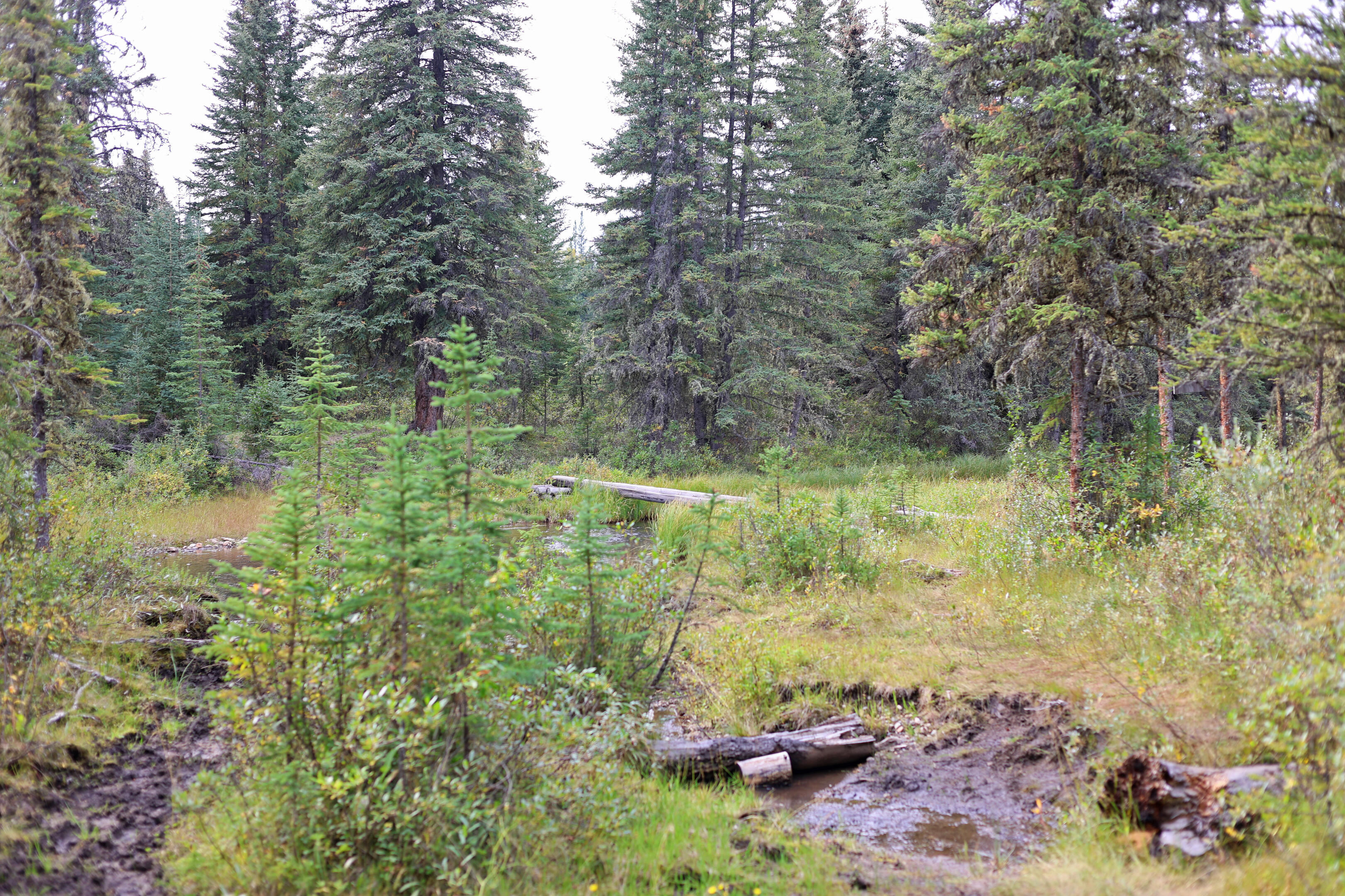
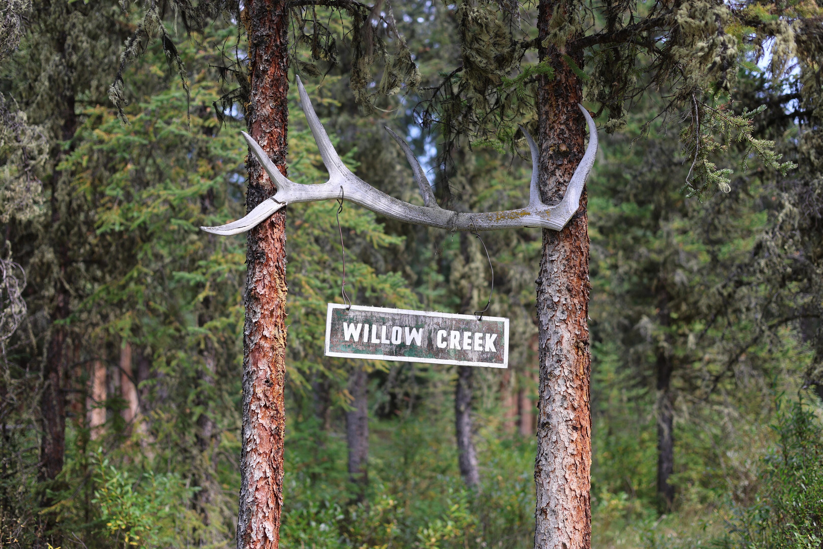
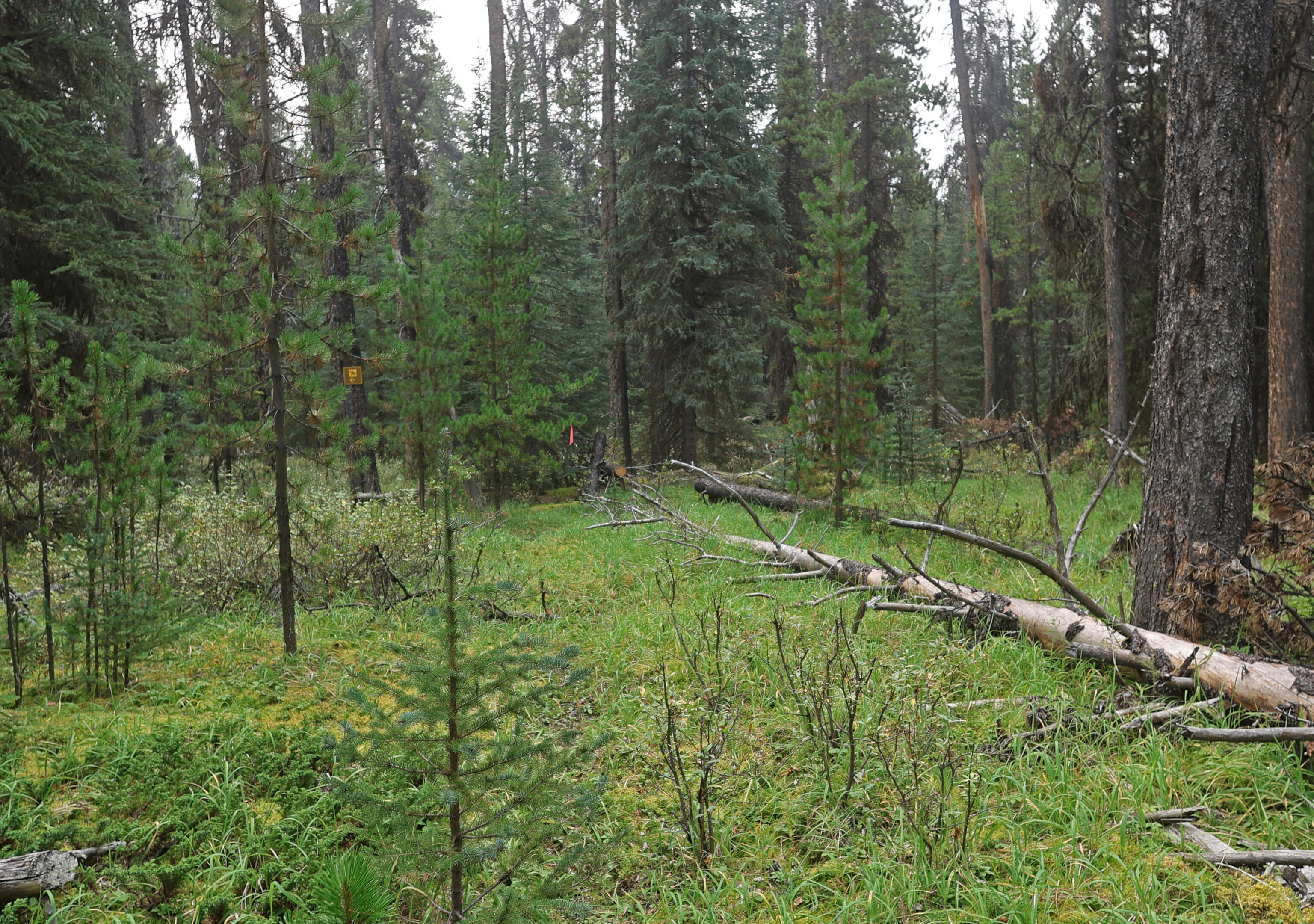
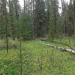
As one approaches Willow Creek the trail is low-lying and boggy, and the horses have chowdered it up. This is popular horse country, mostly not for the full North Boundary but for a trip between Rock and Celestine Lakes, or for side trails into the Willmore Wilderness stretching from here to Blue Creek. That damage must be an old problem: in happier times Parks Canada installed a series of boardwalks and culverts that you can still see (and, occasionally, even use). There are great big muddy sections, plenty of equine washboard, some bogs with sketchy hiker detours and some you must just blast through without losing a boot. I would see as bad, or worse, ahead on the trail, but this is one of the densest regions of the whole North Boundary for horse-derived troubles.
Never be fooled by such hassles into cursing the horses, who do more to help the hiker than you might realize. Horse parties don’t just chew up the boggy bits, but both the private parties and Parks Canada clear out the fallen trees across the trail which hikers can negotiate with pains and patience but horses cannot get over at all. Muddy boots are well worth not scrambling around miles of deadfall.
Horse travel in the Rockies is historic; more so than backpacking on foot. It is only ethical that horses be encouraged. Apart from the ethics, it is a very good thing for us all, even if mud-mad hikers sometimes look at the bad and forget the good. In the trail registers there are complaints of bad behaviour by the horse parties, leaving oats scattered around and befouling campsites, and no doubt it happens, but hikers can be jerks too and, simply by getting animals involved, a horse party has more opportunities to be untidy. I forgive them. Long may the horses ride in Jasper National Park!
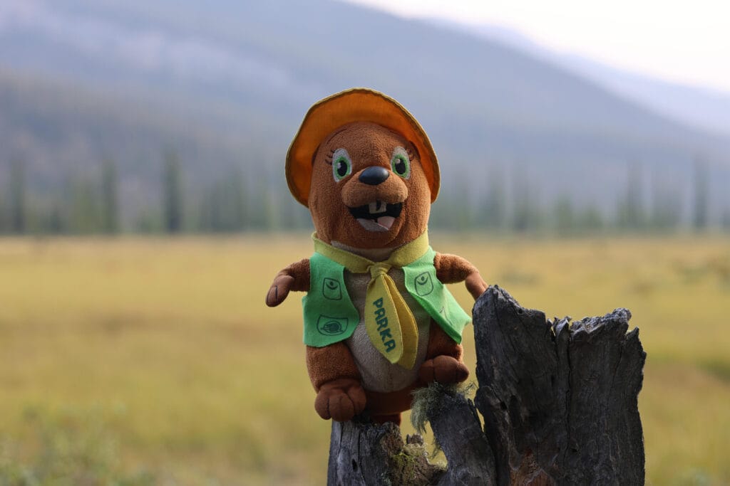
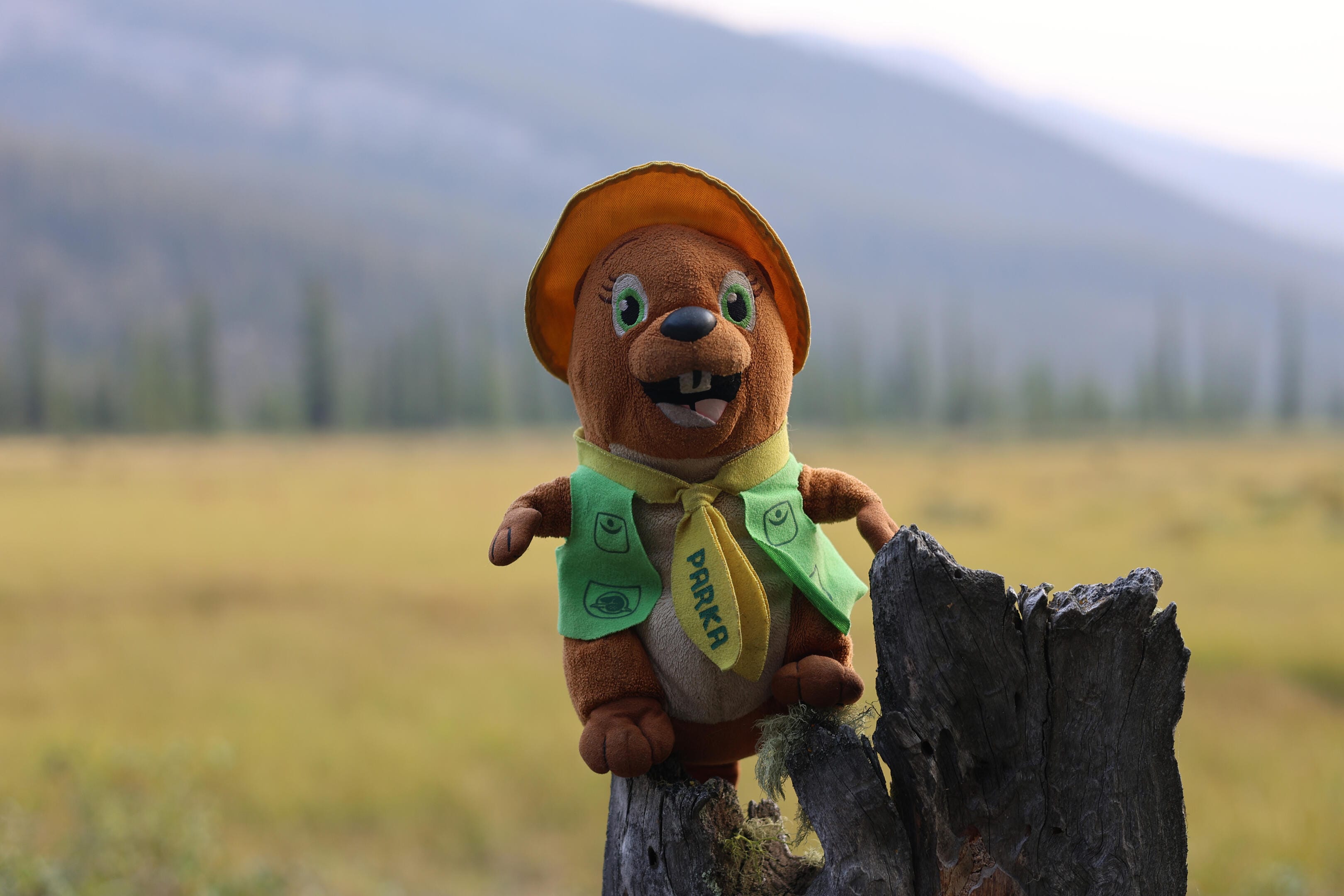
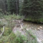
The beavers, with apologies to my friend Parka, are a clearer-cut problem. Their dams are active all around here, carving deep streams crossed by 26-year-old bridges just waiting to collapse. All of these streams can be forded, but probably none is pleasant. Whatever they say about global warming, the North Boundary Trail is going to get wetter long before it gets any drier.
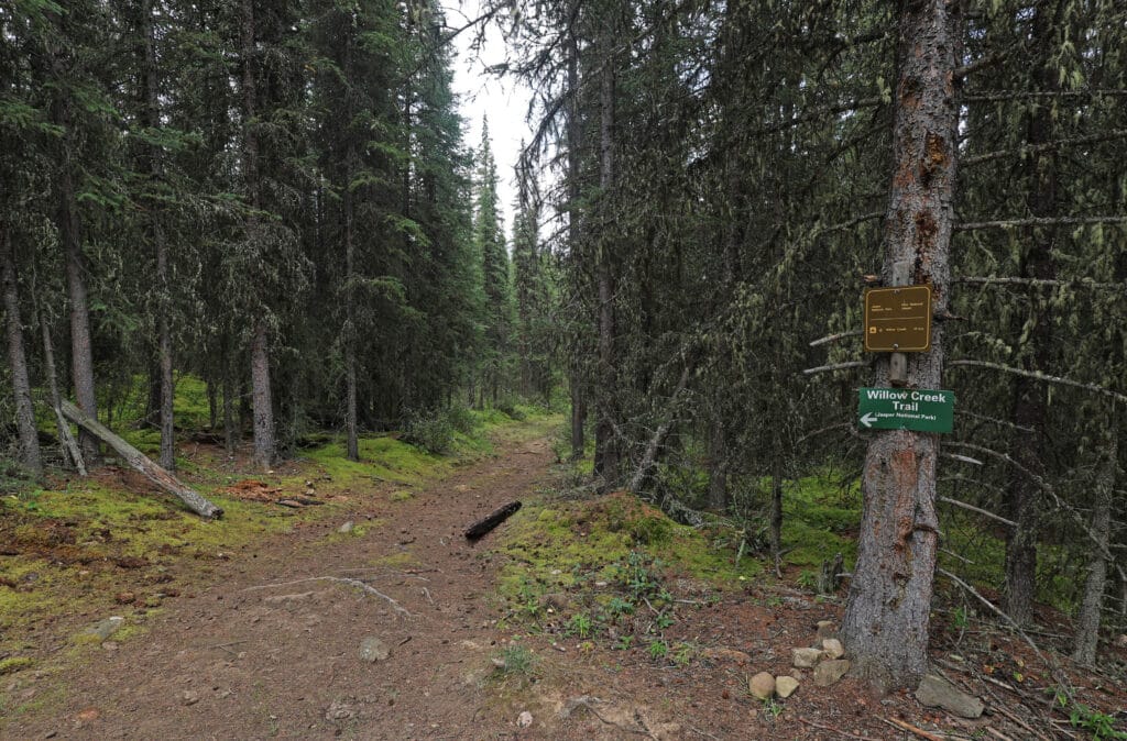
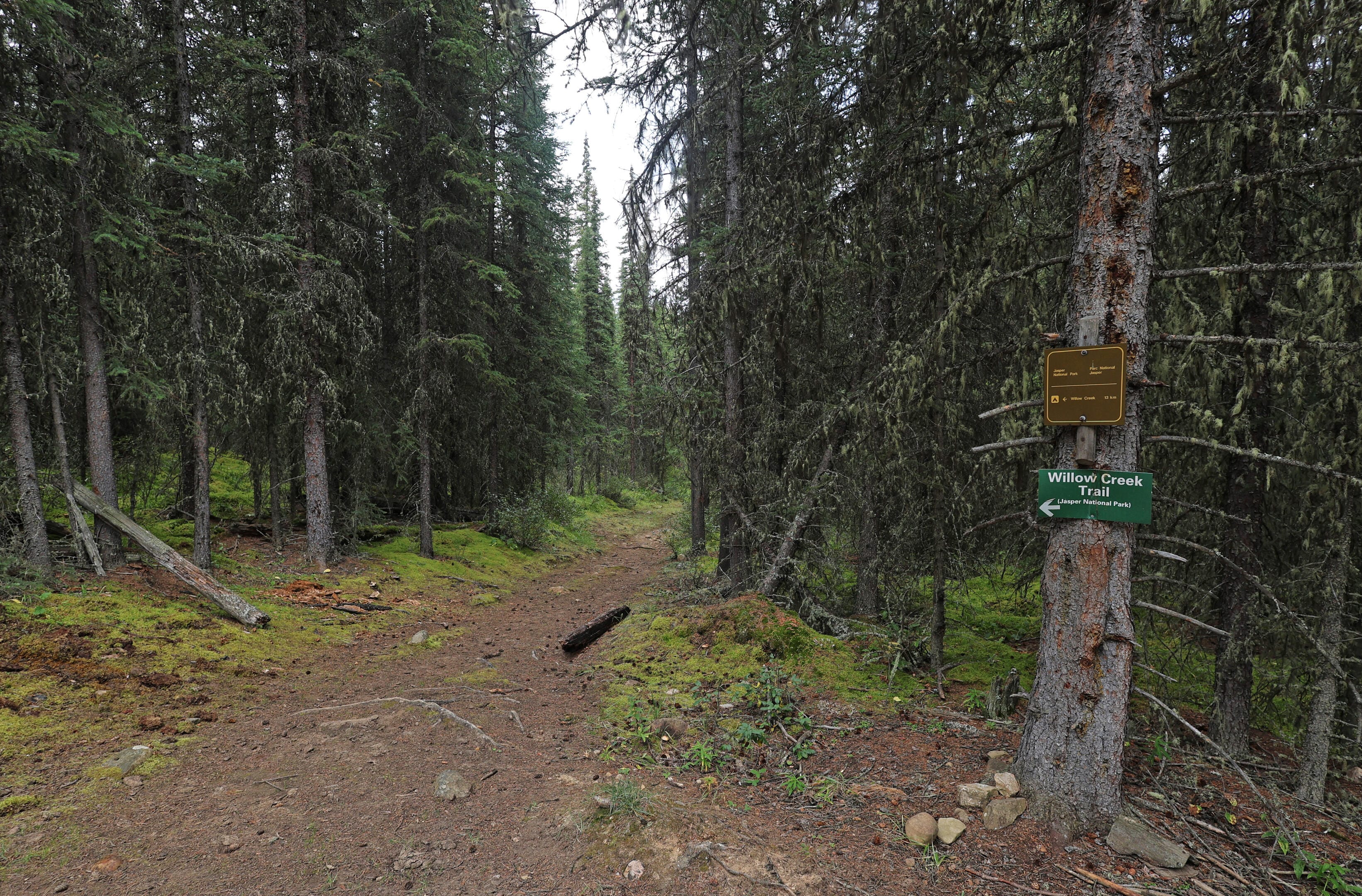
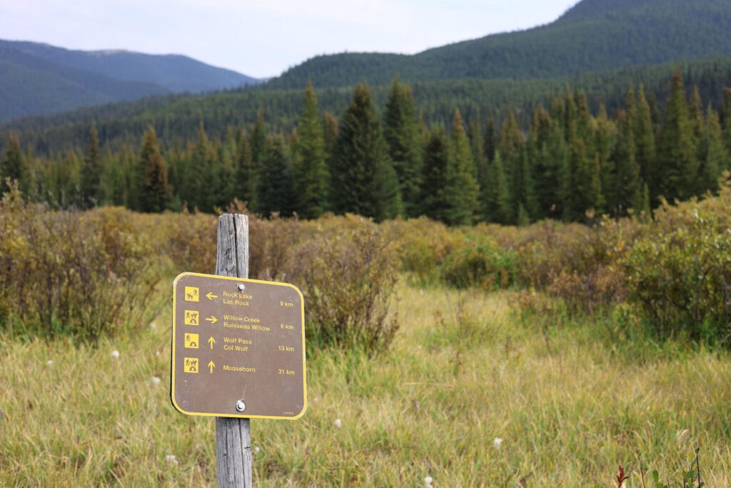
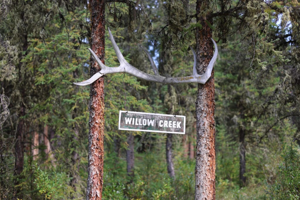
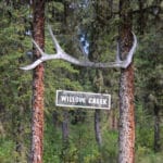
It remains pretty good hiking, just with solid stretches of obnoxiousness. I had a low tolerance for obnoxiousness on account of flu and lack of sleep, but the trail looked after me. Even when bashing through the to-be-typical shoulder-high willows and alders (unlike many landmarks of the Canadian Rockies it requires zero imagination to see where Willow Creek got its name), the trail was clear underfoot and could not be lost. You will see the difference between this living trail and the alternative at the turnoff to Wolf Pass and the Moosehorn Lakes, a trail that was never much-used and has now been officially abandoned for a generation. There is a sign but the trail is utterly, utterly gone: not even the hint of a track through the brush.
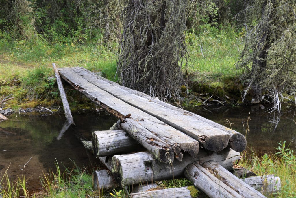
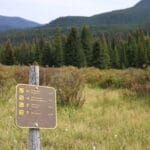
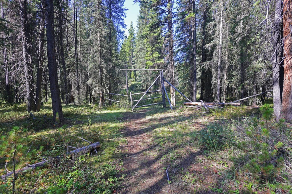
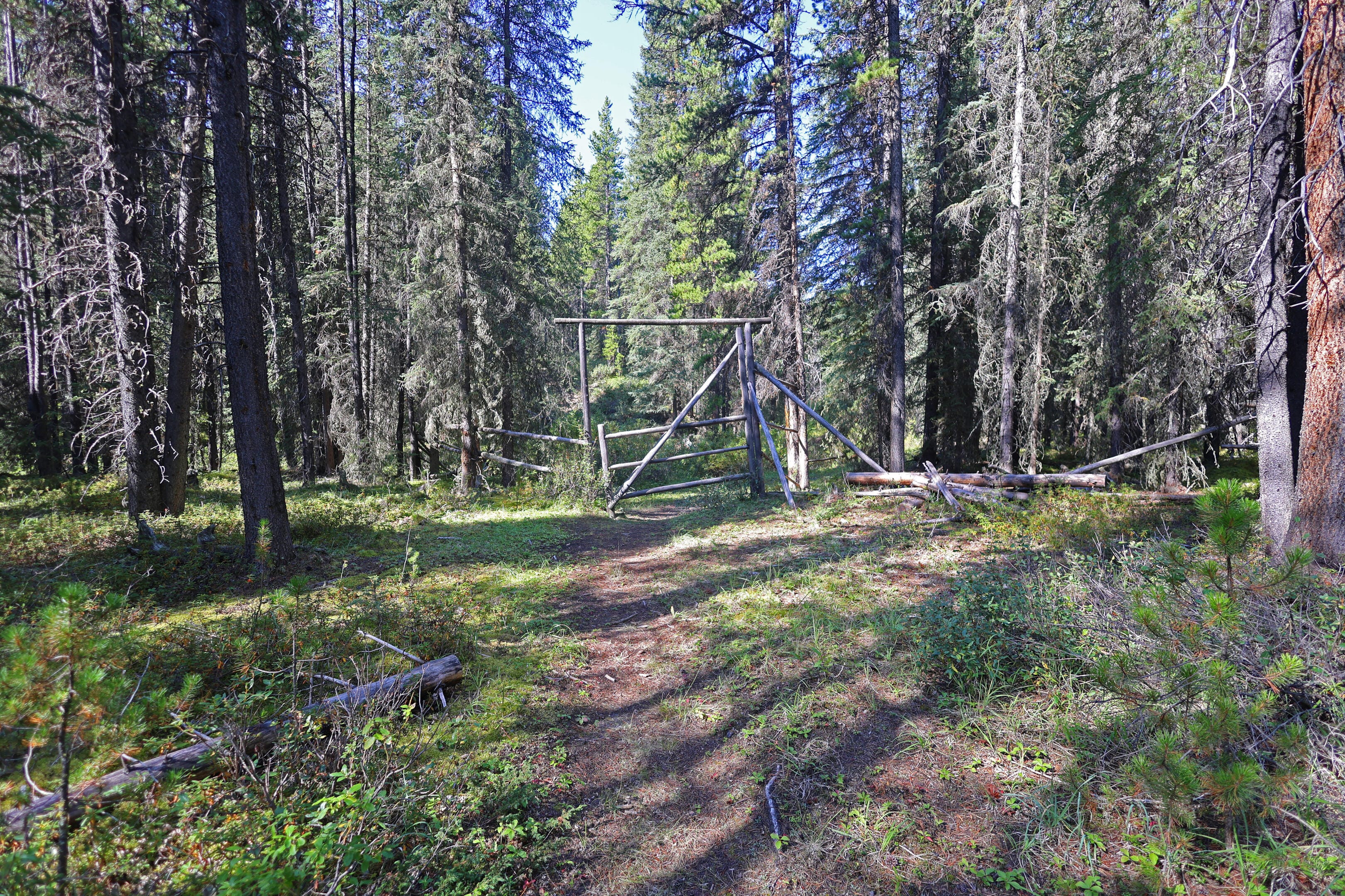
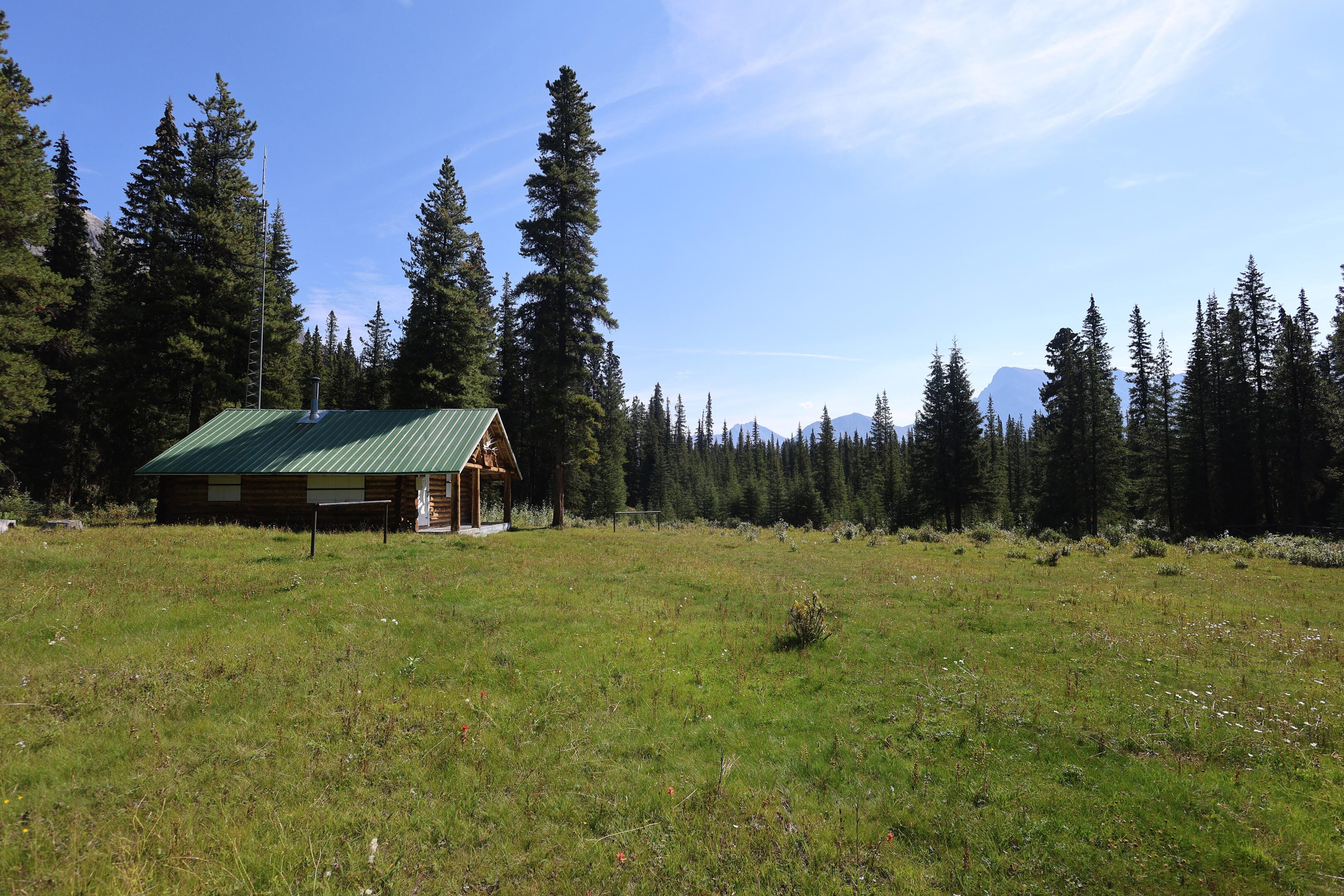
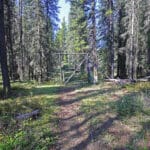
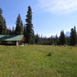
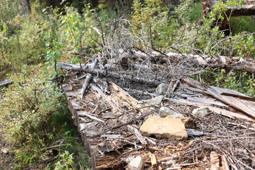
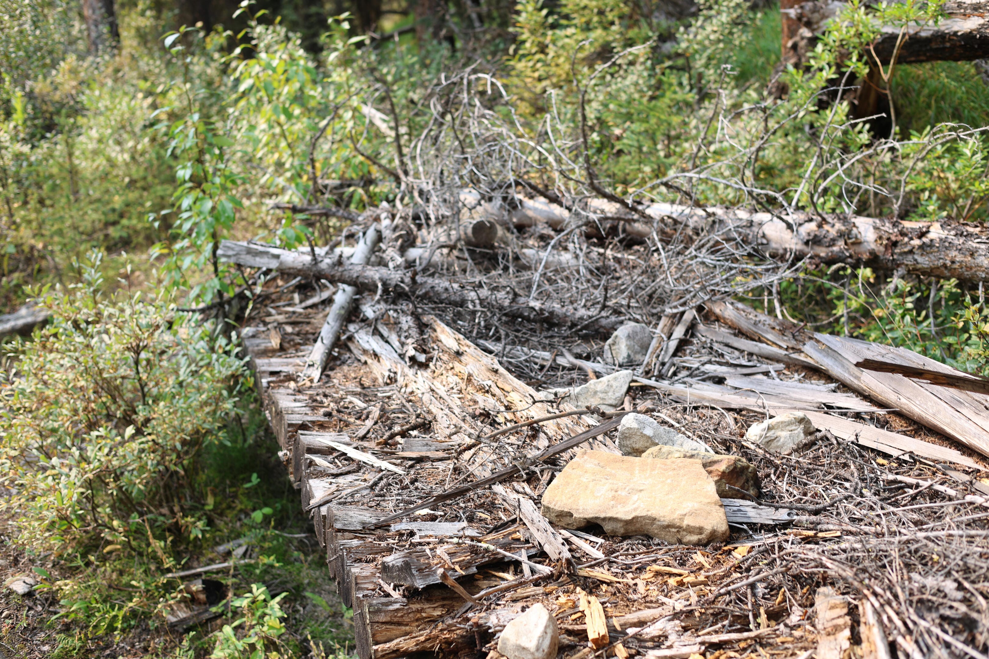
Between illness, fatigue, and probably dehydration on a warm day, I took this section slower than it deserved. The next landmark was Willow Creek patrol cabin, approached through what looks like a fence but is actually a gate (the crossbars can be slid out of the way with one hand), and no sooner are you through than there it is, in a wonderful field that brings to mind every saying about wardens giving themselves the best views. Book time to stop there. Like almost all warden cabins it has a gorgeous setting, but moreover it has a fascinating trail register that’s well worth flipping through, seeing stories of both decades past and the more recent summers. Registers for trail users came into use at some warden cabins in the late 1970s; many of the oldest registers are available for researchers through Parks Canada or the Jasper Yellowhead Museum and Archives, but thanks to the decline in traffic in these parts of the backcountry, today’s public registers can go back as far as 1999; Willow Creek’s is a relative baby with the first entry in June 2014. That’s still plenty of time to feel the trail change over the years, to watch the bridges fall and hear the willows grow in.
In it I read of a group of hikers that had done the North Boundary eastbound on foot in August 2023, starting at Moose River: they must have crossed Twintree Creek, then, and said nothing about it. Their ire focused on the stretch of trail between the Smoky River and Byng campground which they described with an unprintable, six-letter expletive. As I knew a horse party had cleared the problematic stretch in 2024 it gave me hope. After further pleasant browsing of people’s happiness and stories, the walk continued through a more normal-looking gate and back into the woods, an easy mile-and-change to camp.
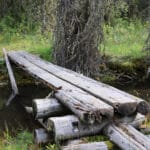
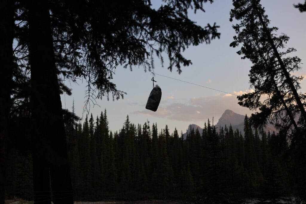
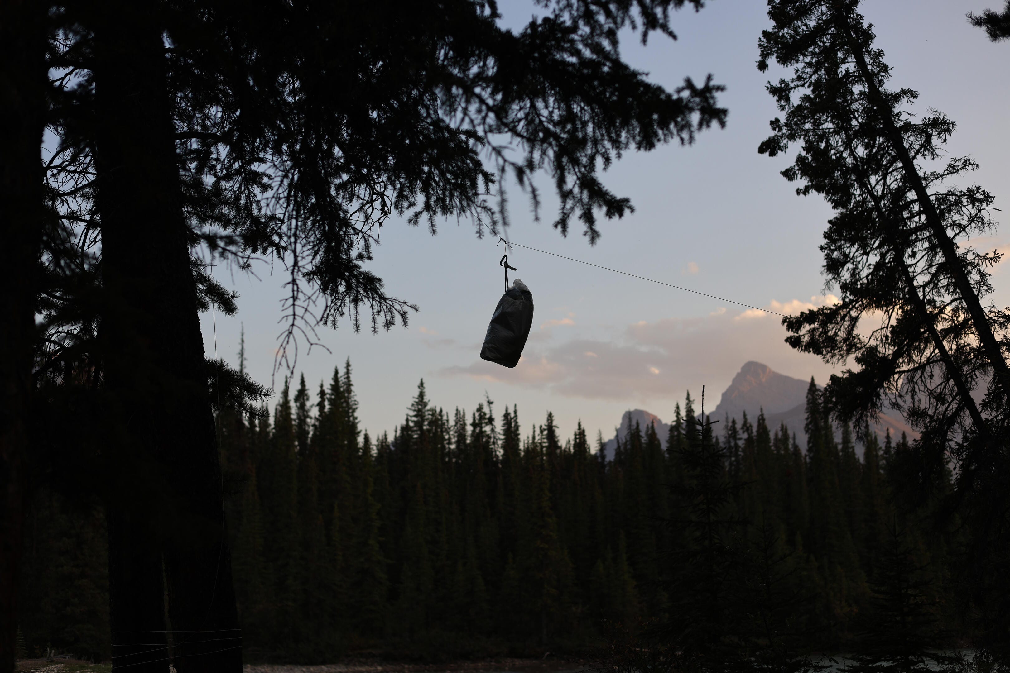
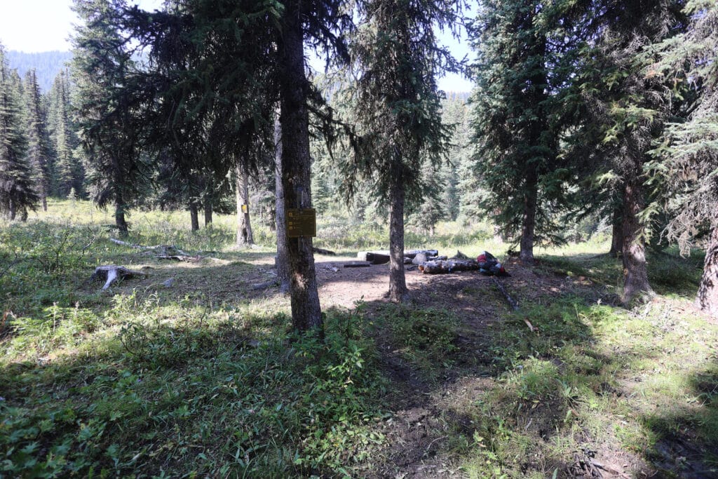
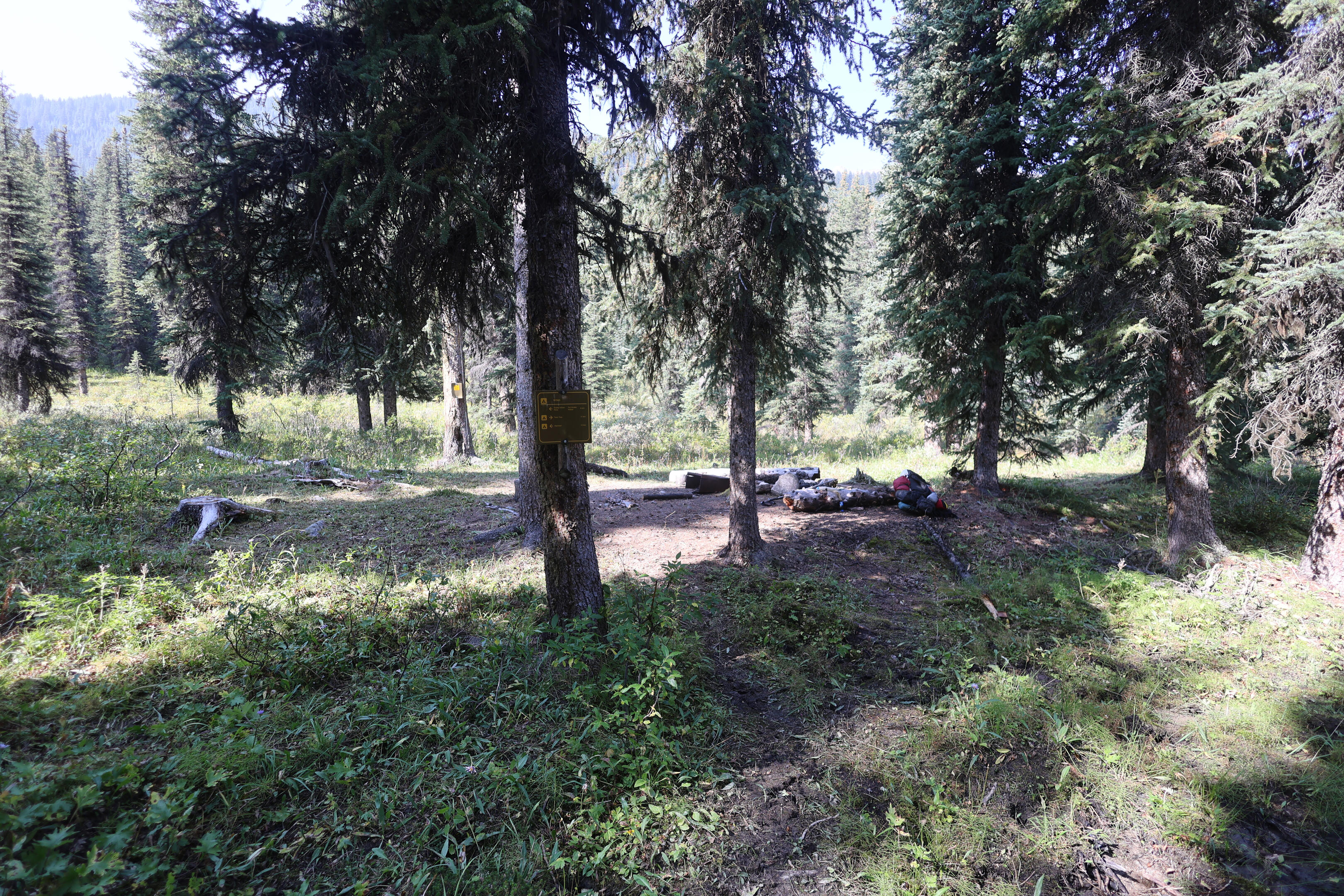
Willow Creek is actually two camps: a horse camp on the near side of the creek and a hiker camp on the far side. As of this writing there is a bridge, which has deteriorated well past the point of sketchiness, but since you have to cross that creek to continue on the trail anyway you may as well suffer it and go to the hiker camp. Both are rather pleasant. Willow Creek horse used to have a lousy bear hang that offered more the perception of safety than the real thing, but it has now fallen. The hang at Willow Creek hiker is solid. The idea is that you carry a long rope with a loop in the end, a carabiner, and a little bag. You put rocks in the bag to give it some momentum, clip it to your rope, throw the bag over the pole, which carries your rope over with it, replace the rock bag with your food, and hoist the food up to about eighteen inches below the pole, at which point it will be inaccessible, in principle, to bear or mouse, and wrap the end of the rope around a convenient tree until it isn’t going anywhere. It is a bit simpler to throw a rock bag over a high pole in theory than in practice, and I had gotten awfully rusty in the three years since last I tried, but at least this time I knew what I was doing and got it eventually.
Water, as you’d expect, is easy. Somebody had been looking after the dead trees at the hiker camp and there was a gratifying lack of potential widowmakers. The views from the hiker and horse camp are about equivalent, they are both thoroughly pleasant places. The horse camp has another register, a better firepit, a bit more seating, but the hiker camp felt more pastoral, more pleasant, more in scale with the man on foot. Six of one, half-dozen of the other, and the hiker camp is where you probably belong so go there. The worst part of the hiker camp is that while the pole-and-a-hole privy is intact, it is also full, whereas the horse camp has a green throne. A pole-and-a-hole is exactly what it sounds like, a place to sit above an open sewer and do one’s duty, and actually much more comfortable than it sounds, but a full one is a bit awful. I decided to deal with that and brave the bridge for my morning task.
Despite all the travel I arrived at camp well in time for an afternoon’s relaxation. The tent went up, I drank an astonishing amount of water without passing a drop, wrote, relaxed, swatted the few bugs, and felt as best as I could, though there were still the cough and a surprising lack of appetite that made me force my dinner down. Once the hiking had started, day one had few surprises. I was counting on day two to have fewer.


It was a cool, clear, wonderful night, but there was an unwelcome surprise that requires careful wording. I drink a lot of water in camp and usually need to get up in the night. This is part of my routine and causes no issues; on a chilly, lonely night, when I can leave my tent light on, scamper out in the nude, and dive back into the quilt before it cools, it’s actually sort of pleasant. However, my sick body, put through a modest day of exertion, apparently decided on a full kidney flush. I had to rise, I believe, seven times. Then whenever I lay back down I started coughing for a while. There was not much sleep, badly though I needed it.
This was not greatly amusing.
However, much was forgiven when I rose to a crystal-clear, perfect, cool Canadian Rockies morning in a scenic, romantic spot. Backcountry mornings are tough for me, my lowest part of any day. Especially early in a long hike when I’m by myself, I get fraught and anxious about the challenges to come, struggling to set off but knowing I’ll feel lousy until I do. Being tired does not help with that, but God shining through the Canadian Rockies to remind me that I am exactly where I want and need to be, and that all will be well when I arrive in the next camp, does.
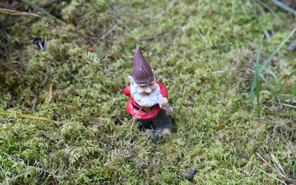
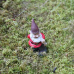
In my single-wall tent on a cold night after a warm day perched by a creek there was of course plenty of condensation, but that made no odds; I was perfectly comfortable anyway. The forecast called for a lovely day, the sky backed it up, and cough though I did, I knew I had a few days left to shift the thing before the hiking got tough. I enjoyed the glorious morning as best I could with breakfast and coffee, crossed the creek for the green throne, was amused by a whimsical garden gnome some backcountry jokester had placed there, and set out a little later than I like, but by no means late. There was no reason to hurry, save to spend more time at Welbourne, which I had been assured was beautiful. Why not make it a leisurely day, and enjoy the walk?
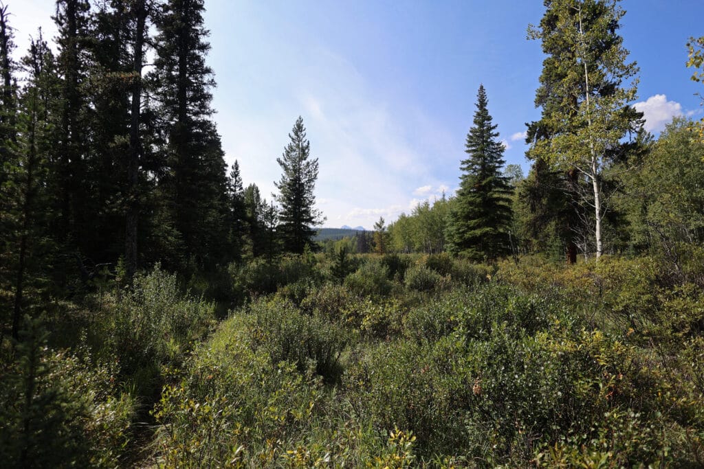
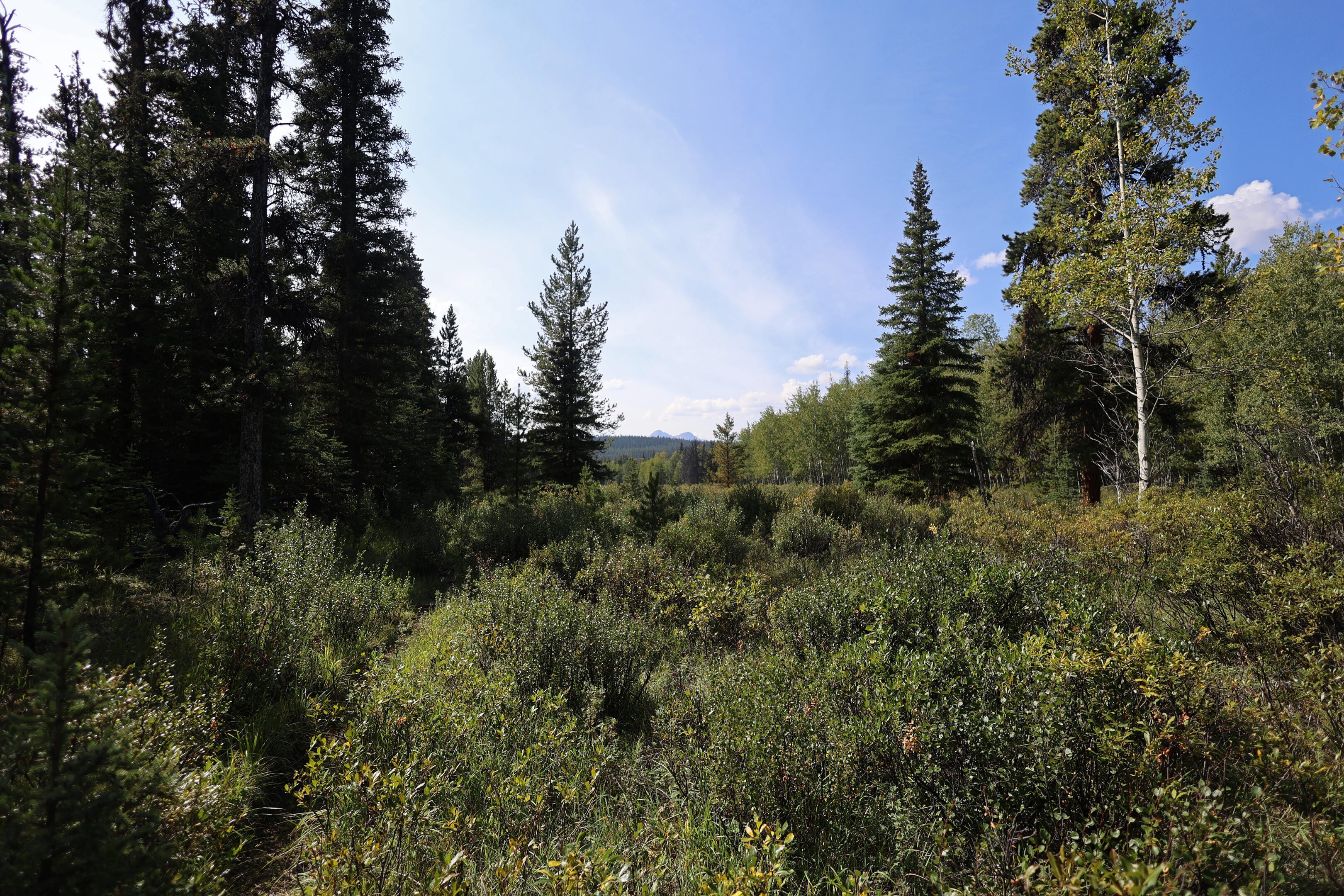
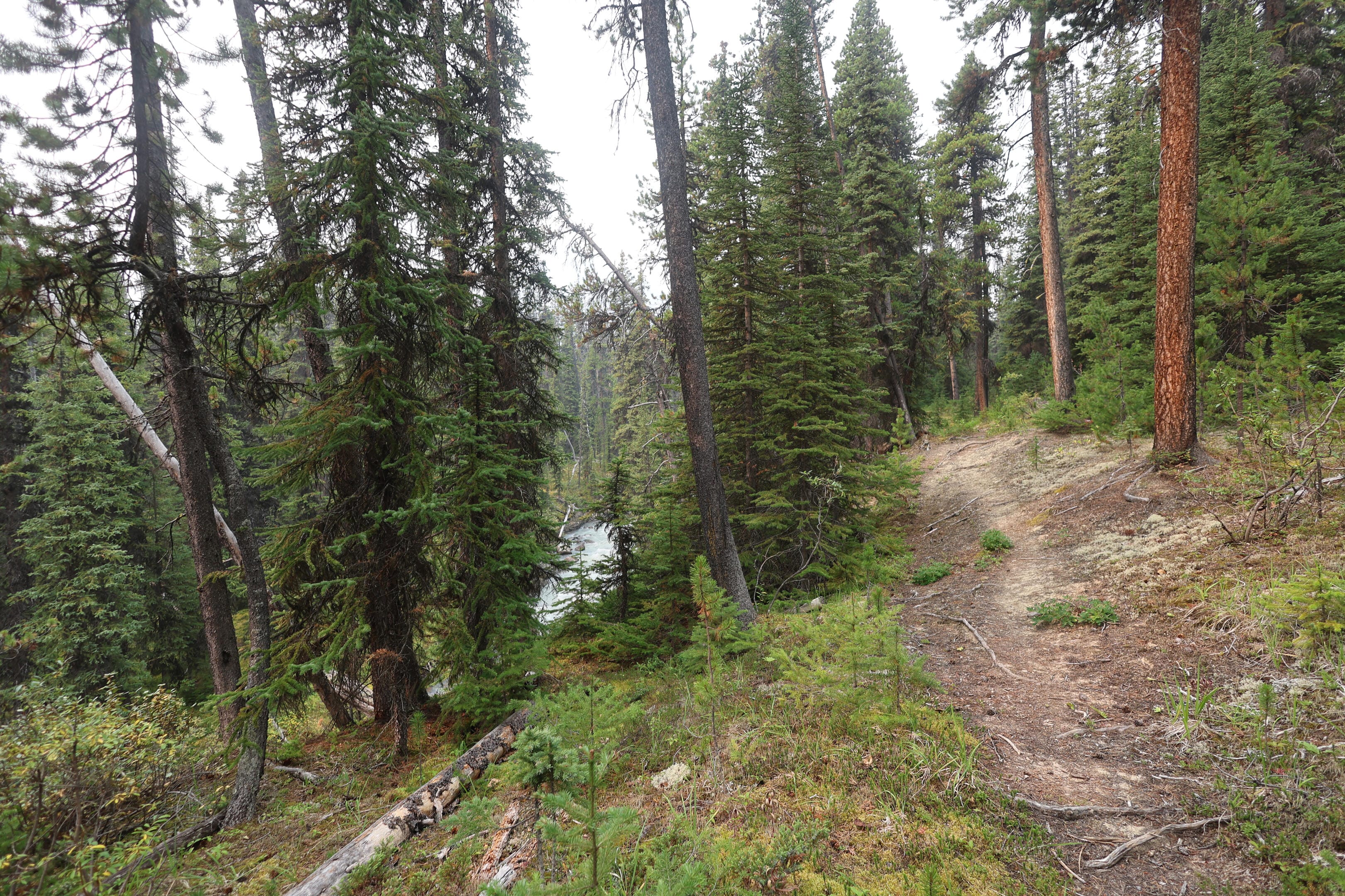
Neither long nor challenging, but with several striking bits. The first couple miles out of Willow Creek follow a long, squat ridge, like an esker to a non-geologist’s eye, overlooking pleasant meadows and bogs. After the first mile you drop down and enter more forest, but views of nine-thousand-foot peaks still wake you up better than a cup of coffee. The deadfall was more of a factor, as a number of equestrians make Willow Creek the fulcrum in a Rock Lake-Celestine Lake curve so fewer remain to cut out the trees, but it was no kind of a bother and the trail remained obvious.
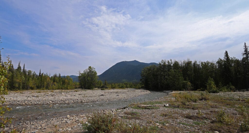
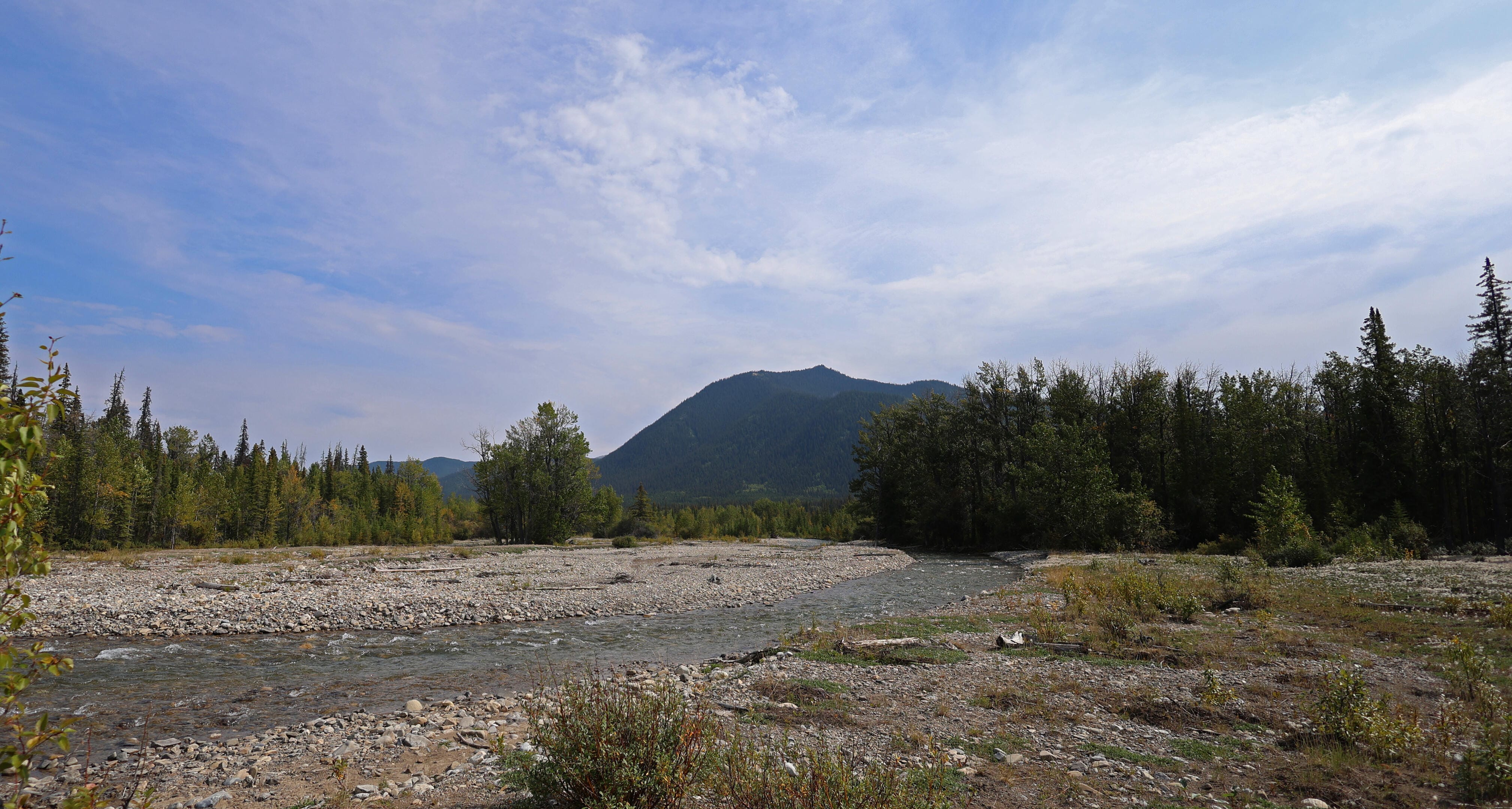
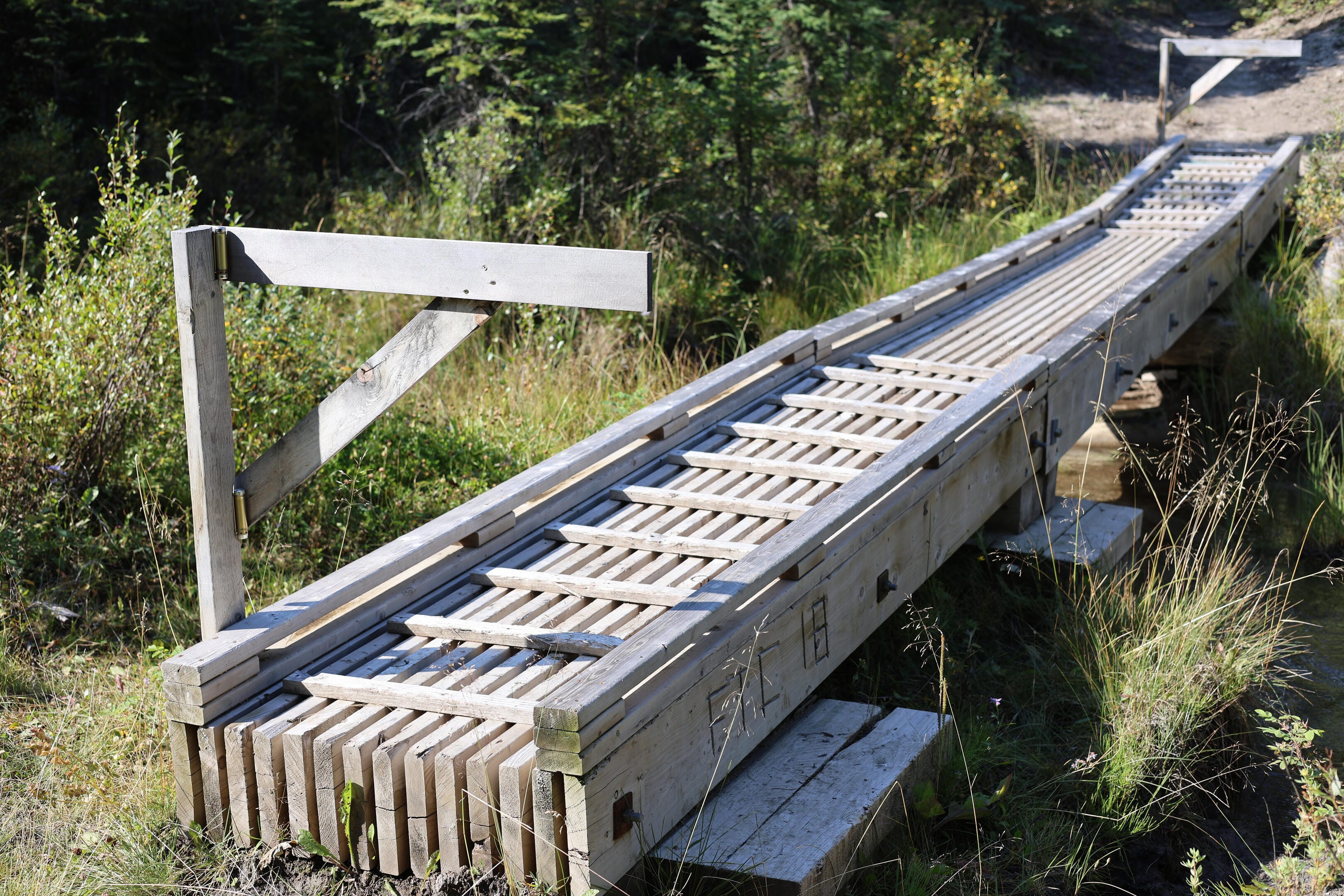
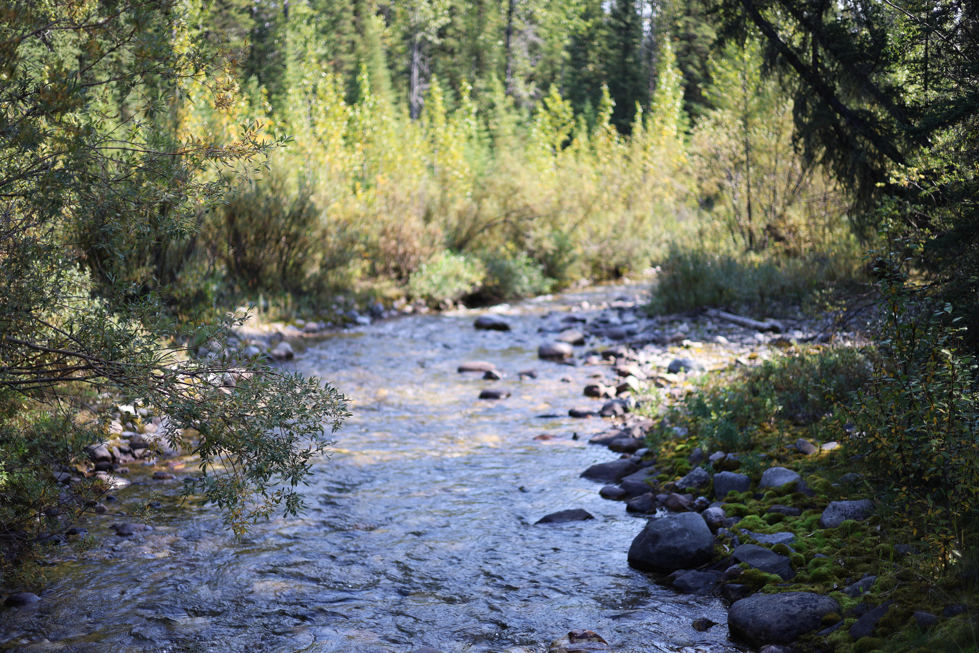
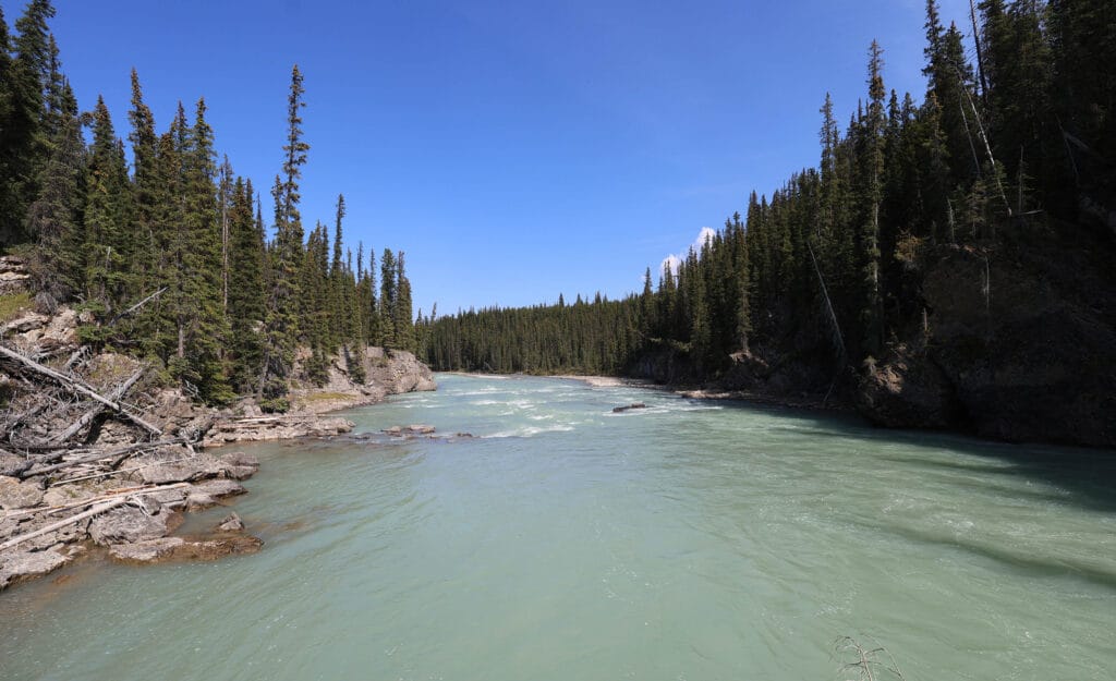
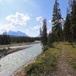
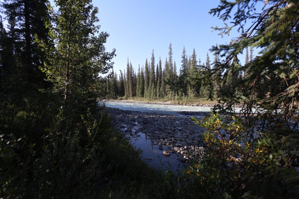
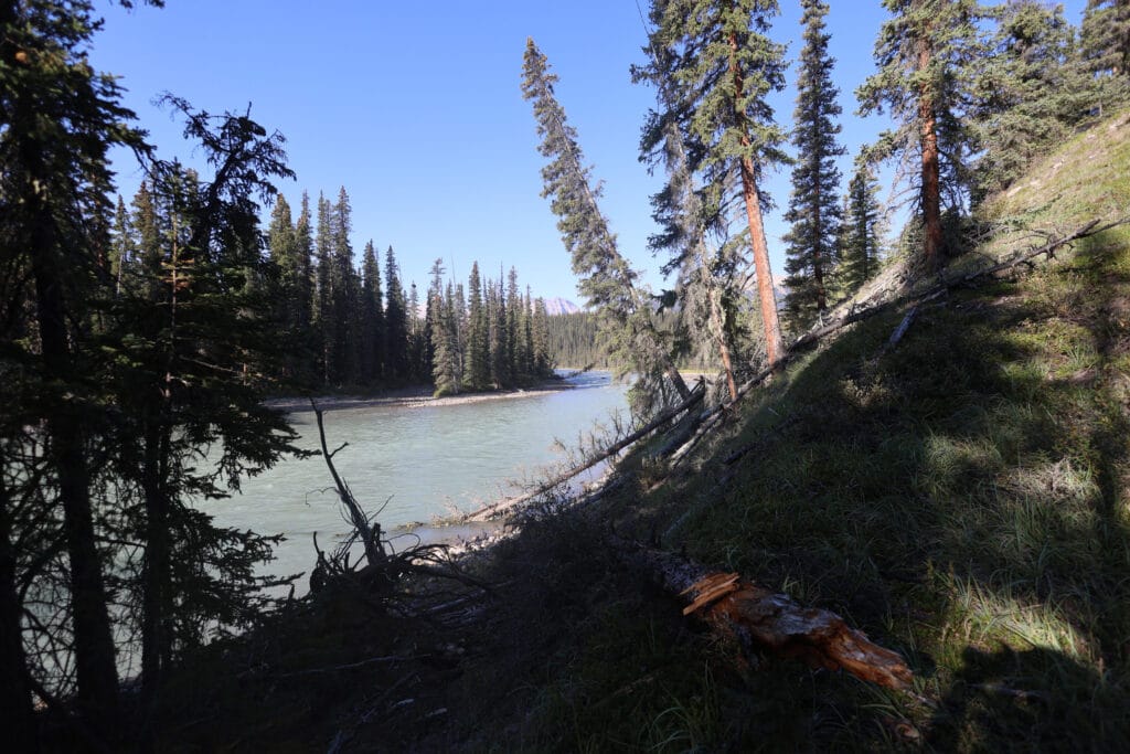
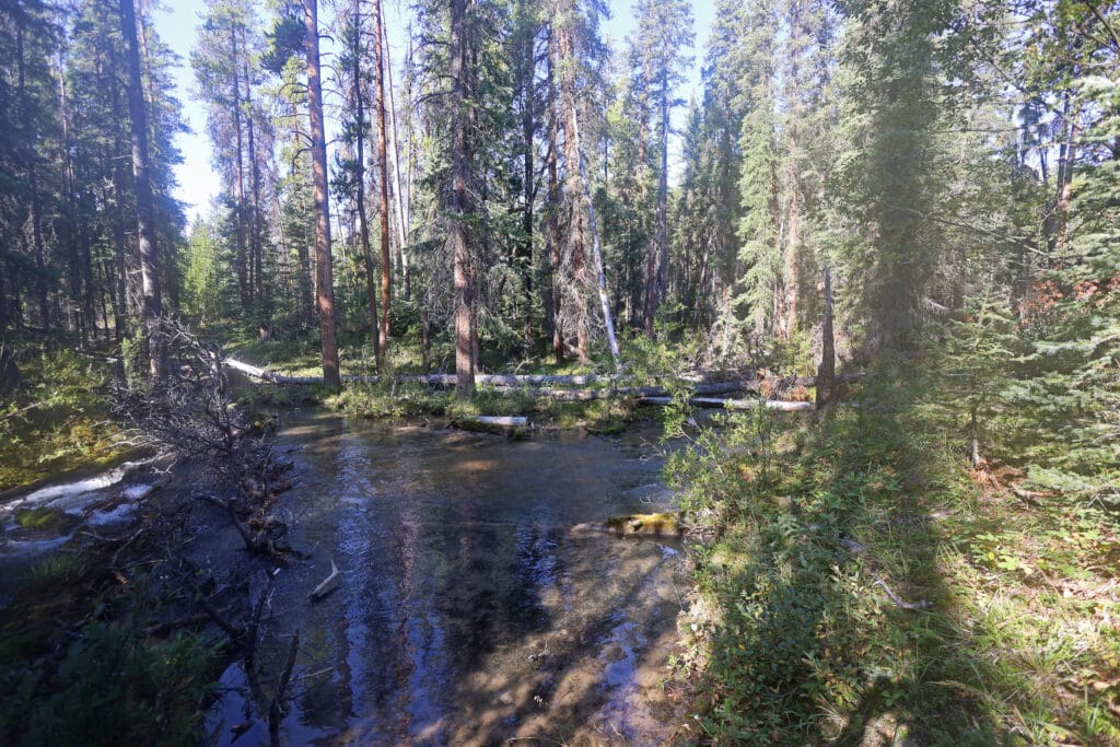
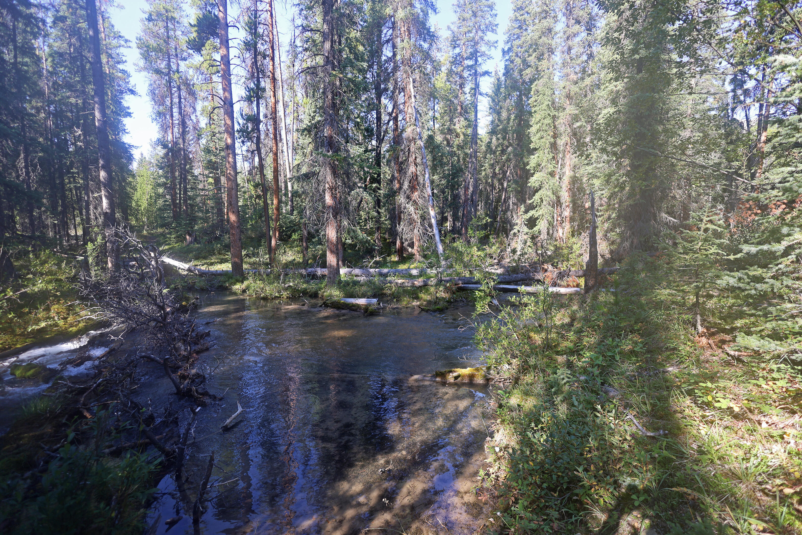
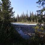
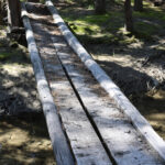
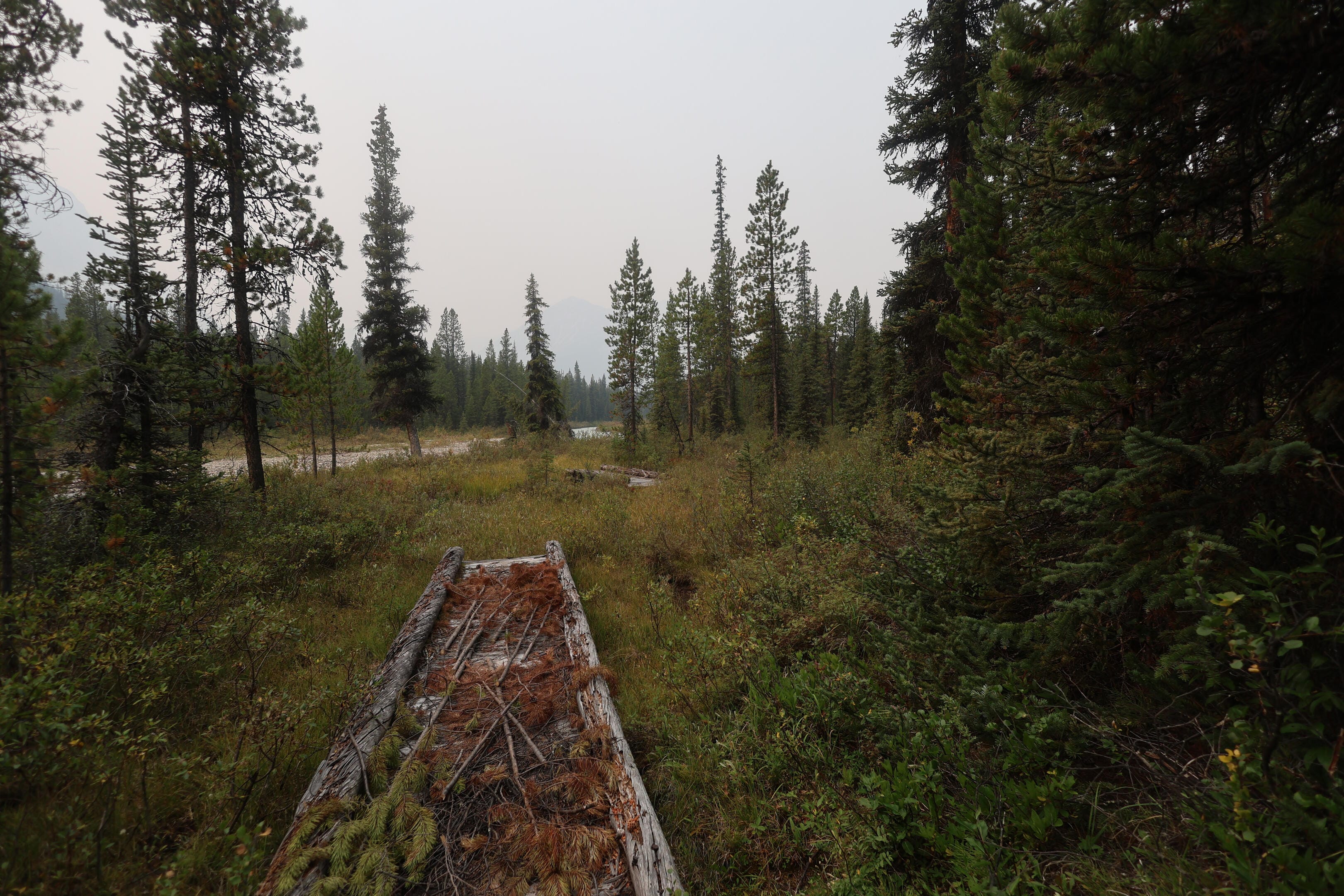
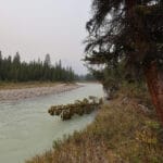
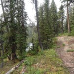
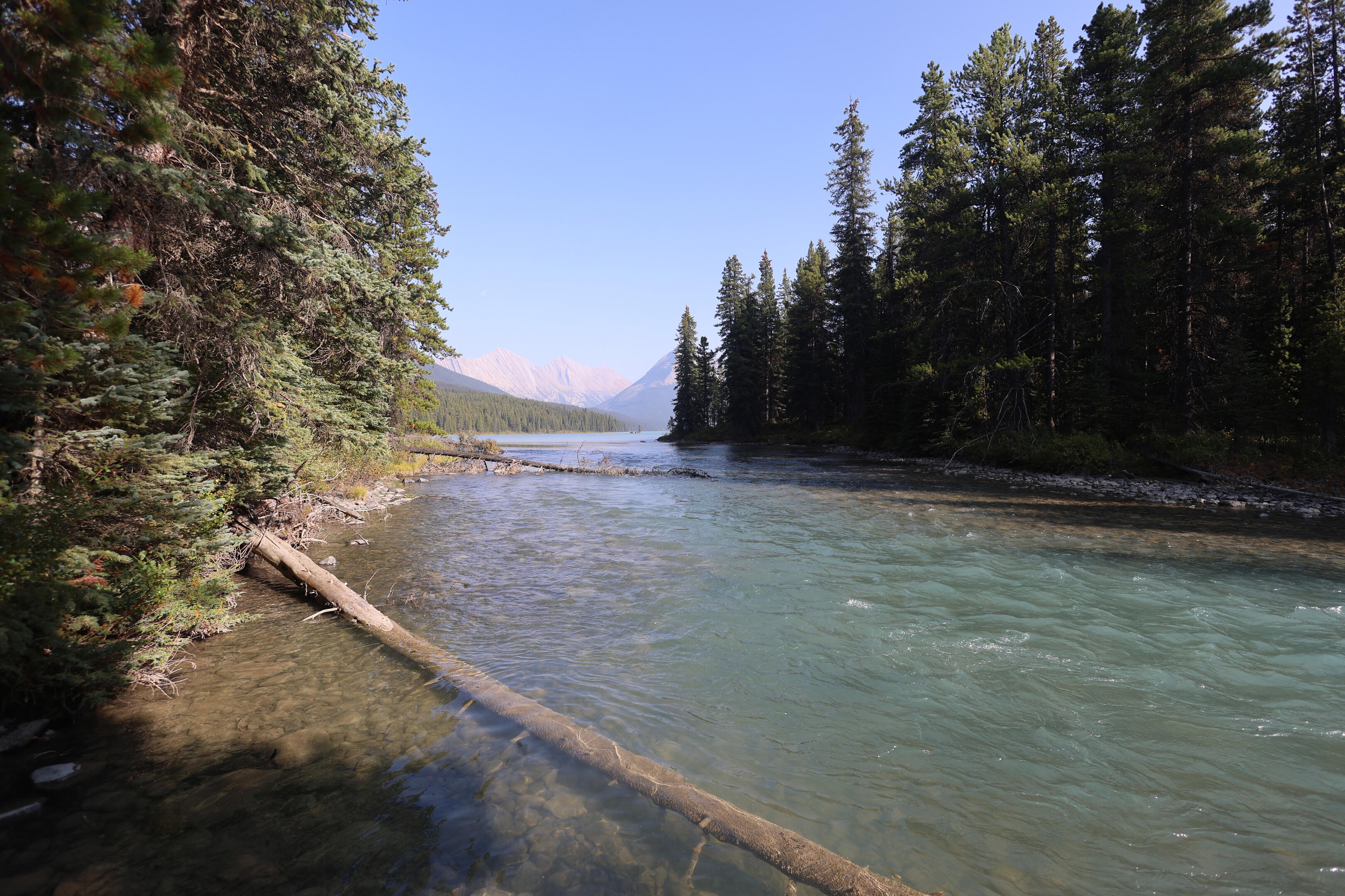
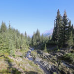
This is followed by a good deal of forest walking, many splish-splash creeks that were bridged once but aren’t now, and by way of compensation a first look at the Snake Indian River, the grand, broad watercourse that the North Boundary hiker follows all the way to its source in a few days, a swift, silty river in a pleasant valley with striking views ahead and behind. Then, after some miles, one of the more interesting features in a hundred miles: the bridge over Mud Creek, built in 2018 and the most recent construction on the entire North Boundary Trail.
From the name you’d think Mud Creek is a goopy, sticky crossing of a rather miserable stream, and you’d be right, though the water happens to be clear. Not a big deal as a ford, shallow even for a hiker. The ground is the issue. It has always been a quagmire; Don Beers relates a story of outfitter Tom McCready finding a moose who had gotten utterly stuck in the mud to the point where she had been unable to extricate herself and died; her calf had crawled on her back and died too. However, the bridge doesn’t prevent such sad stories, since the park installed gates on either side, which the human will be able to pull open but the moose won’t. It is a more elaborate structure than those in much more popular parts of the backcountry, even apart from the raw shock of a new bridge on the North Boundary Trail. The gates, a feature I’ve never seen elsewhere, were a still-later addition. I don’t know if there was extra money in the budget one year or some environmental specialist has a wild hair about Mud Creek, but personally I’d like to see the effort put into a more dangerous crossing. Still, better that it’s there than not: hiker and horse alike can enjoy the one treat the Flying Trail Crew has given them in fifteen years.
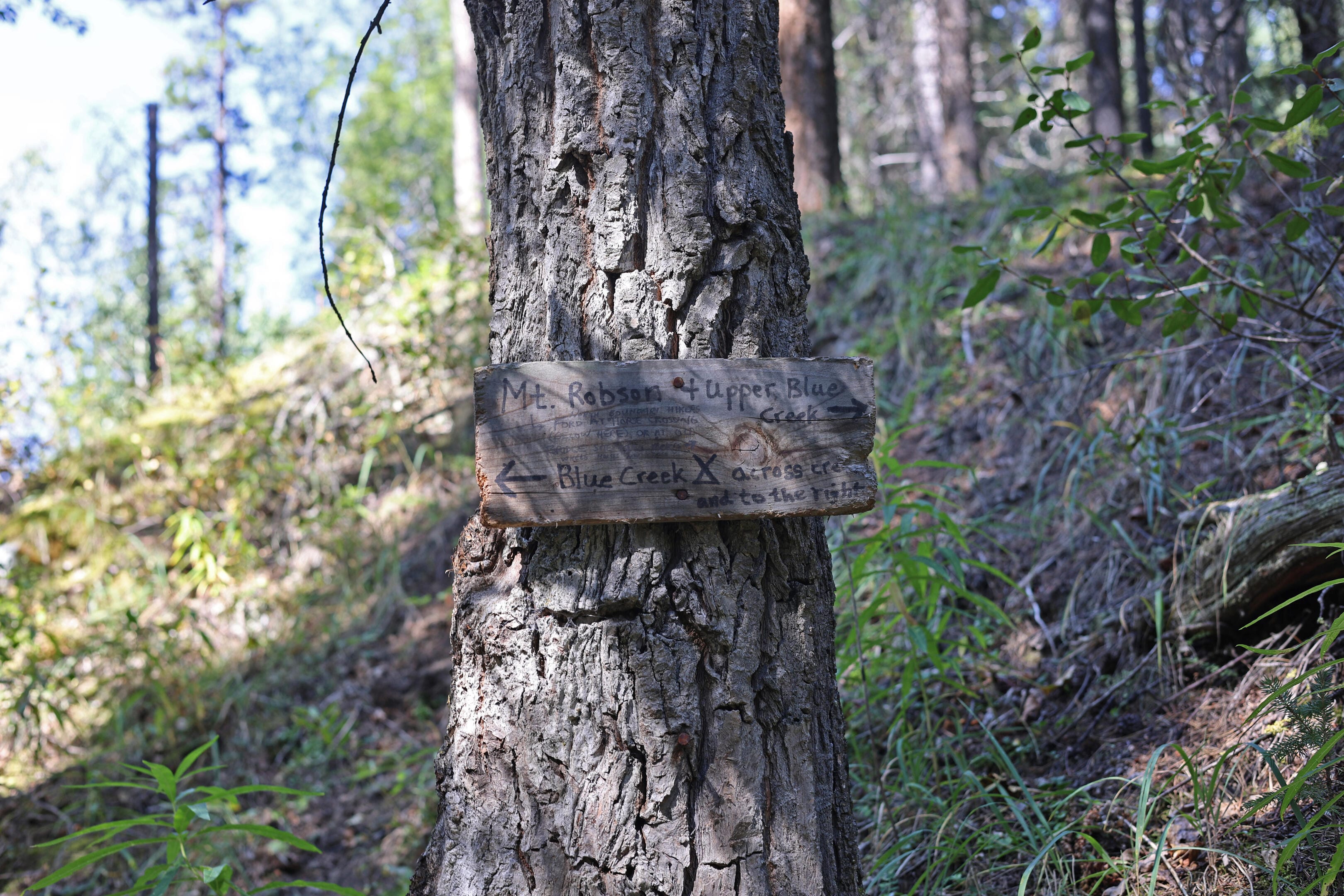
The sign at that bridge reads “Mud Creek Junction,” and it’s not much of a junction these days: one can take a horse trail that bypasses Willow Creek campgrounds to emerge at the warden cabin. Most guide books don’t even mention it, though I believe it is taken sometimes. Once, though, this trail also provided access to the northern reaches of Rock Creek, heading between the Persimmon and Starlight Ranges into the Willmore Wilderness, towards Eagles Nest Pass or the Sulphur River. Jasper’s Starlight warden cabin is in that direction, one of the newer cabins (i.e. less than 70 years old), but few go there. Horse parties who want to see that country always had an easier time going straight to Eagles Nest Pass from Rock Lake and never entering Jasper National Park at all, and this was probably a warden’s patrol trail to make sure hunters in the Willmore Wilderness didn’t “accidentally” stray into the national park. But it was an official trail once, it was on the maps, you could hike it, and if you’re one of the people who like to visit every backcountry warden cabin, at some point you might. There are countless such trails branching off the North Boundary, trails to scenic and half-forgotten places or trails that just got a job done, which at one time ordinary hikers and horsemen did take, but are now an exercise in historic research just to learn about.
Deer Creek Junction, a few miles on, is from a trail perspective much more interesting. A right turn there takes you up the first of the official remaining North Boundary side trails, towards Mowitch Creek and the campsites at Little Heaven and Spruce Tree. Little Heaven is so-named because it’s heaven for grazing horses, not for you, but it’s a remote and romantic name for a remote and romantic area of the park. Even here, though, it’s the abandoned trails that are more interesting: going to Spruce Tree is an out-and-back, but the old trails through McLaren’s or Glacier Pass opened up some hugely epic journeys in beautiful country, bouncing between Jasper and the Willmore. You can still read in the trail registers of people venturing up that way, and their misery when they got past the last Parks Canada wildlife camera and had to cross decades of barely-groomed deadfall.
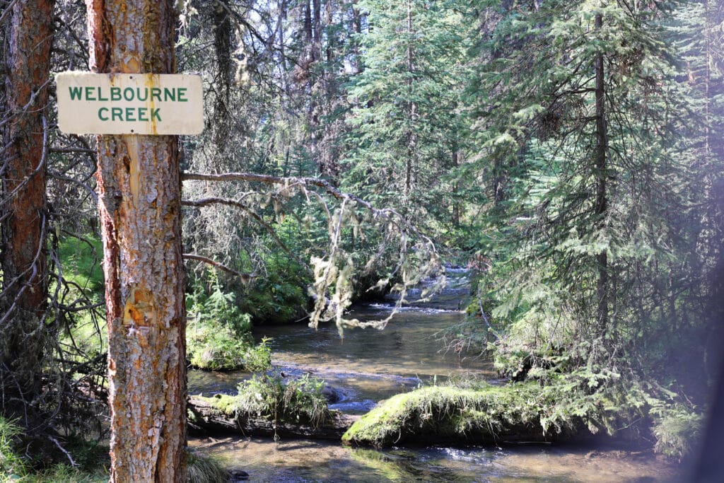
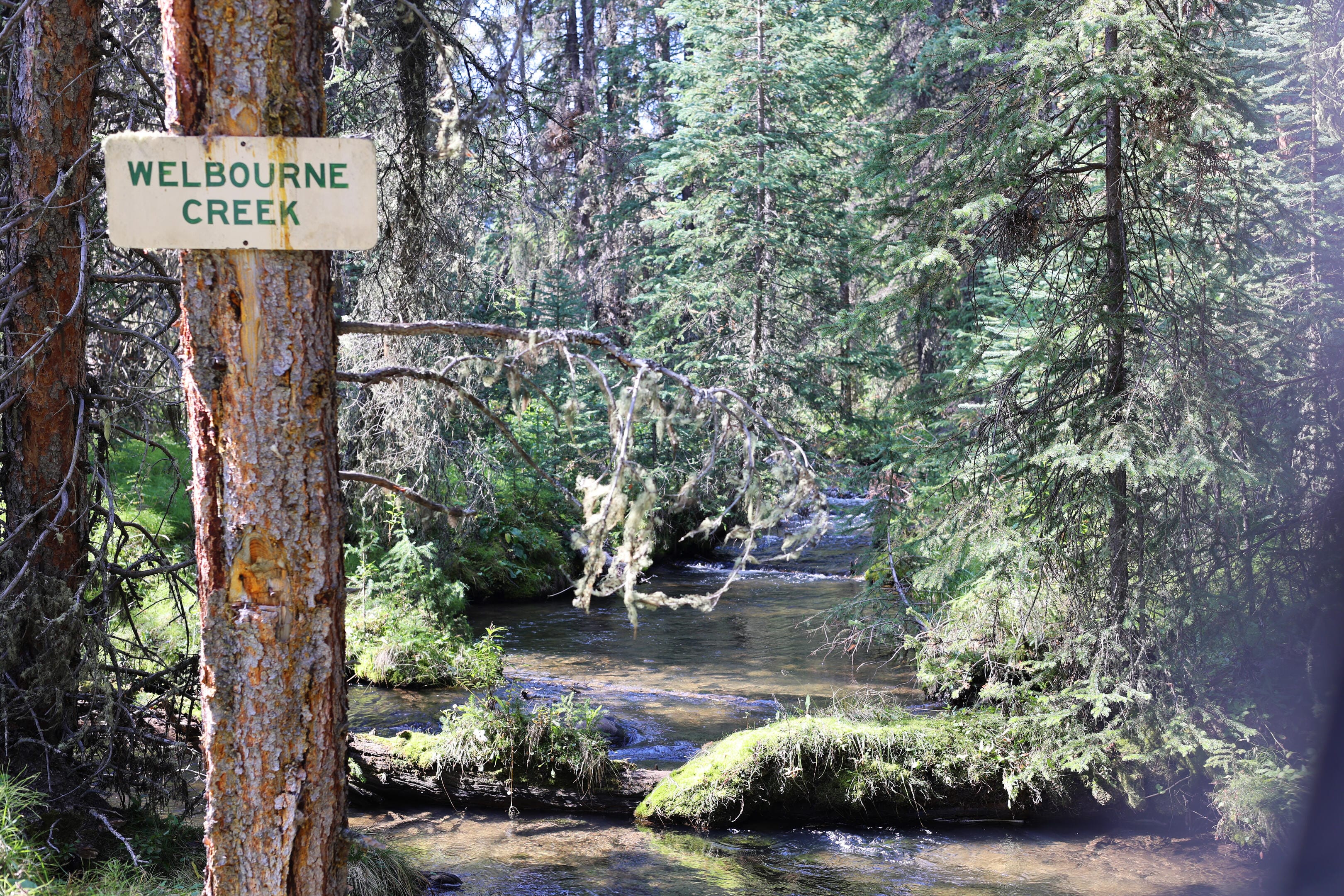
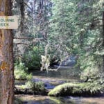
It wasn’t for me today, so I stuck left, over a surprisingly-sound hiker bridge, continuing to Welbourne. Or, rather, to Welbourne Falls.
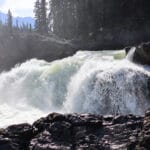
The question is not whether you should make the two-thirds-of-a-mile side trip to see Welbourne Falls, because you should. The question is whether, if you are camping at Welbourne, you should set up camp there first and bring a light pack down to the falls, or just bang the side trail out on the way. If you’re eastbound you may as well camp at Welbourne and take the light pack, because the trip to Welbourne Falls is, by local standards, relatively un-simple. Riders don’t take their horses down that way, for reasons that will become obvious when you go, so there’s more deadfall than usual (though it’s not very troublesome) and the hike ends on a short, steep slope down to the Snake Indian River that is not really difficult, a borderline scramble perhaps of a short, steep dirt cliff, but requires more agility than is often seen on the North Boundary. I was hiking westbound, and aware of my own psychology, kept my full pack on as I headed down the side trail rather than risking getting to camp and not having the willpower to double back.
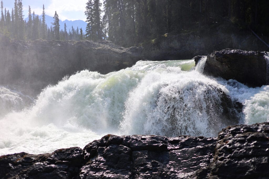
You hear the falls before you see them, and if you were undecided about that little down-scramble, the first sight of the falls will make up your mind. They’re beautiful but the high view is obscured. Go down, stashing your bag at the top if you have to, and perform some driftwood-and-grippy-granite scrambling that will be meat and potatoes to a West Coast Trail veteran onto a rocky outcropping. It is wide and flat enough to observe the falls in happiness.
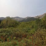
Welbourne Falls has all the charms of power, proximity, and horizontal lines. They aren’t as flamboyantly grand as some other famous falls in this area, Snake Indian or Emperor for example, but while I’ve never seen Snake Indian Falls I have seen Emperor, and I prefer Welbourne. It’s big, mighty, loud, close, and it all fits in a human field of view. Turning away from them, to look up the jagged narrows of the Snake Indian River valley, is a treat that would be worth the side trip on its own, but there’s no denying the waterfall is the highlight. So remote, yet so accessible, and just the right size to appreciate what is, even in late August, a grand, awe-inspiring torrent from close enough to feel the spray.
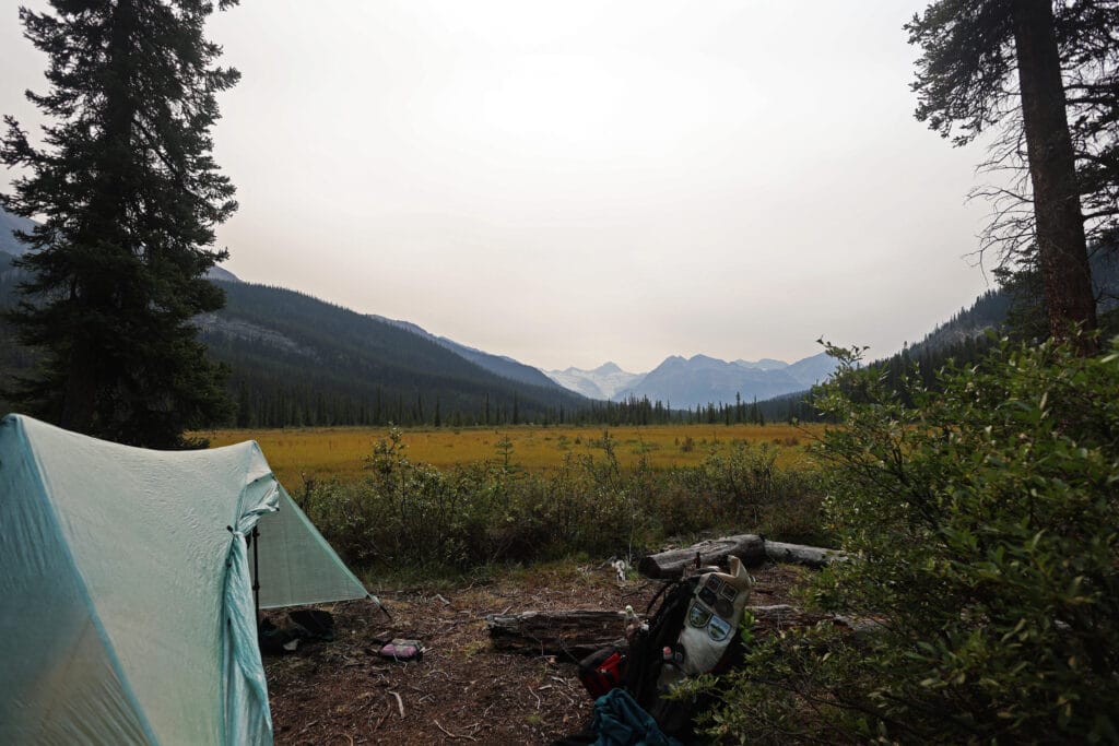
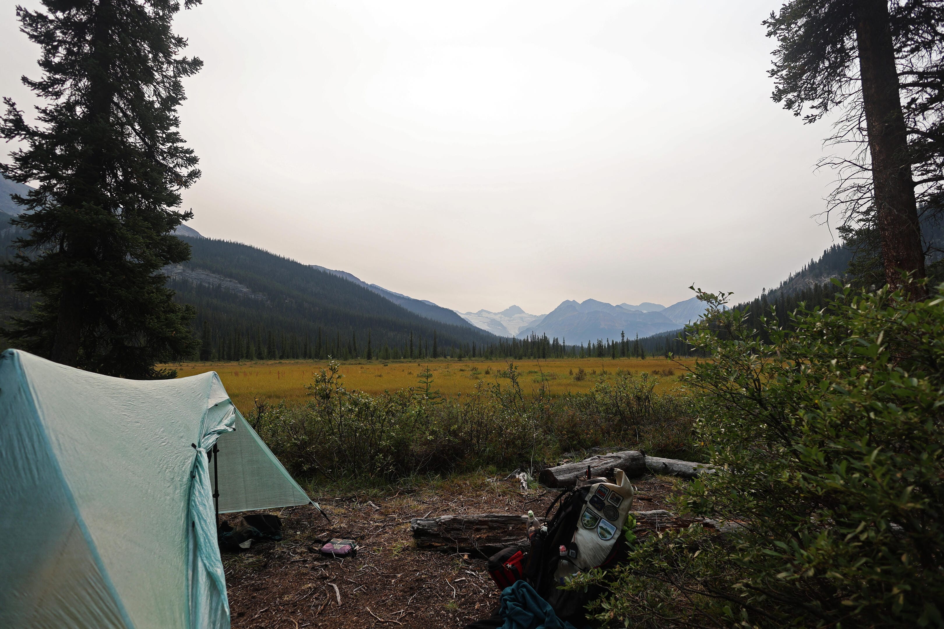
The hardest part is leaving, because you have to go back up that cliff, but it’s a hard place to leave generally. It seems sure that Welbourne hiker camp must be an anticlimax after that, and yet somehow it isn’t.
The horse camp this time is really nothing special, but hikers camp right on the Snake Indian River. Grand views of the Rajah and Mount Stornoway, and the great trailing arm of the De Smet Range, fill the eye across the gorgeous river. There is plenty of room for tents, a great fire area, shade, but above all there are the views and the peace. When putting together a North Boundary itinerary, Welbourne seems like a tempting site to skip: take the short first day into Willow Creek after all your driving then jump across to Blue Creek. But do not skip it, take the time. What’s the point of hiking so far from the crowds if you can’t enjoy a place like that?
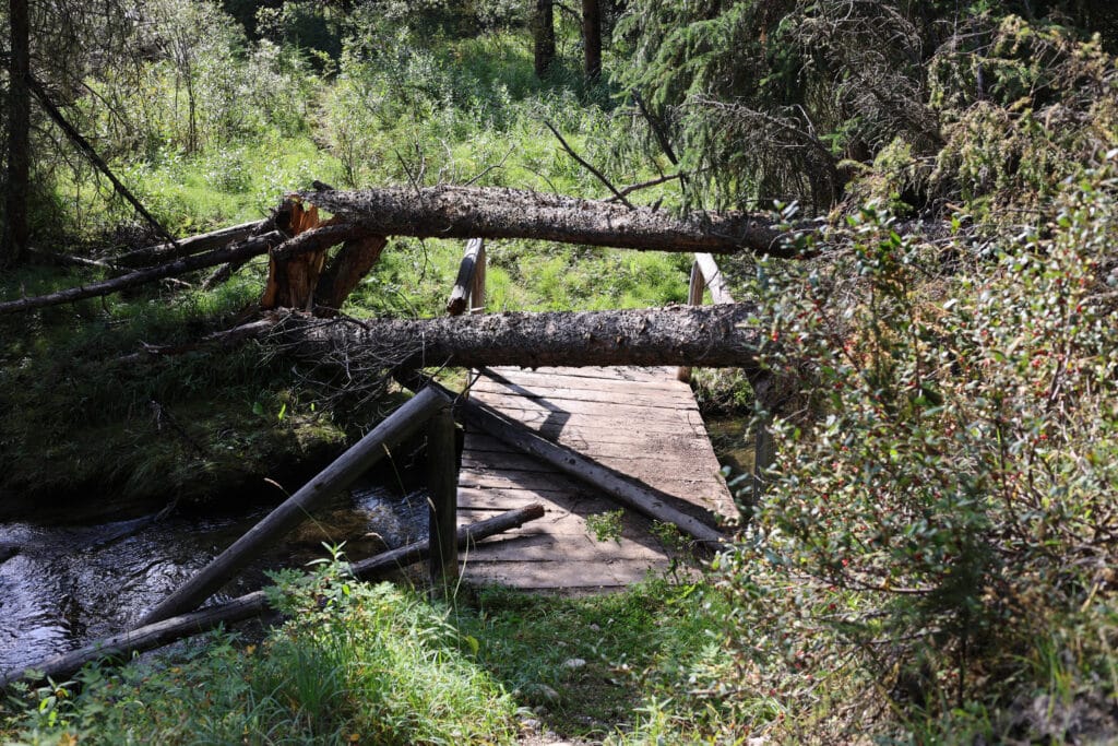
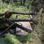
Flaws? Sure, I suppose. You get a glimpse of a very amusing one as you walk towards camp and see a handwritten sign on a Parks Canada marker for a “horse bridge bypass.” “That doesn’t sound good,” says the savvy hiker, and it isn’t: trees have come down across the old hiker-horse bridge between the horse camp and the hiker. I say “came down across,” not “destroyed,” because the deck is actually still in good shape, but a railing is gone and the trees are across it at an awkward height for the hiker with a backpack. You just have to throw your bag underneath or crawl on your hands and knees below the tree trunks. Similar carnage has wiped out what was once the hiker-friendly entrance to Welbourne patrol cabin, which is why I didn’t go: one can ford a beaver stream across the trail from the campsite to get there, but I couldn’t be bothered.
When in camp, fallen trees have also taken out the bear cable (I saw the plastic sleeve coiled on the ground). Since my bear-resistant bag was very full, for insurance I hung it using Bryan DeLay’s 2CR method, which although I am a novice gave me a better hang than some official ones I’ve seen in my time and is the most effective technique I’ve come across for the stubby, short-limbed pines of the Canadian Rockies, allowing you to get your food not just off the ground but horizontally away from the tree trunk3.
The pole-and-a-hole privy had room for one more person and I used it, the water options are the silty Snake Indian or that beaver stream which put me in mind of Tim Robbins in The Shawshank Redemption asking Clancy Brown if he trusted his wife (“do you trust your filter? I mean, did you absolutely never leave it out in freezing temperatures?”), a squirrel took the shinier of my USB cables when I had it out for some solar charging, whatever, Welbourne is gorgeous and you should camp at it. I ate, back to full appetite, enjoyed one of the most delicious nips of rye I’d ever had because Alberta Premium tastes even better in wild, beautiful places, and felt great hopes for success. Pulling the Garmin weather forecast, there was a zero percent chance of rain for days to come.
Whereupon it promptly started raining.


The rain lasted literally a minute and was a joke. Sleep was indifferent but all was well, apart from thinking about the more than a week of hiking left.
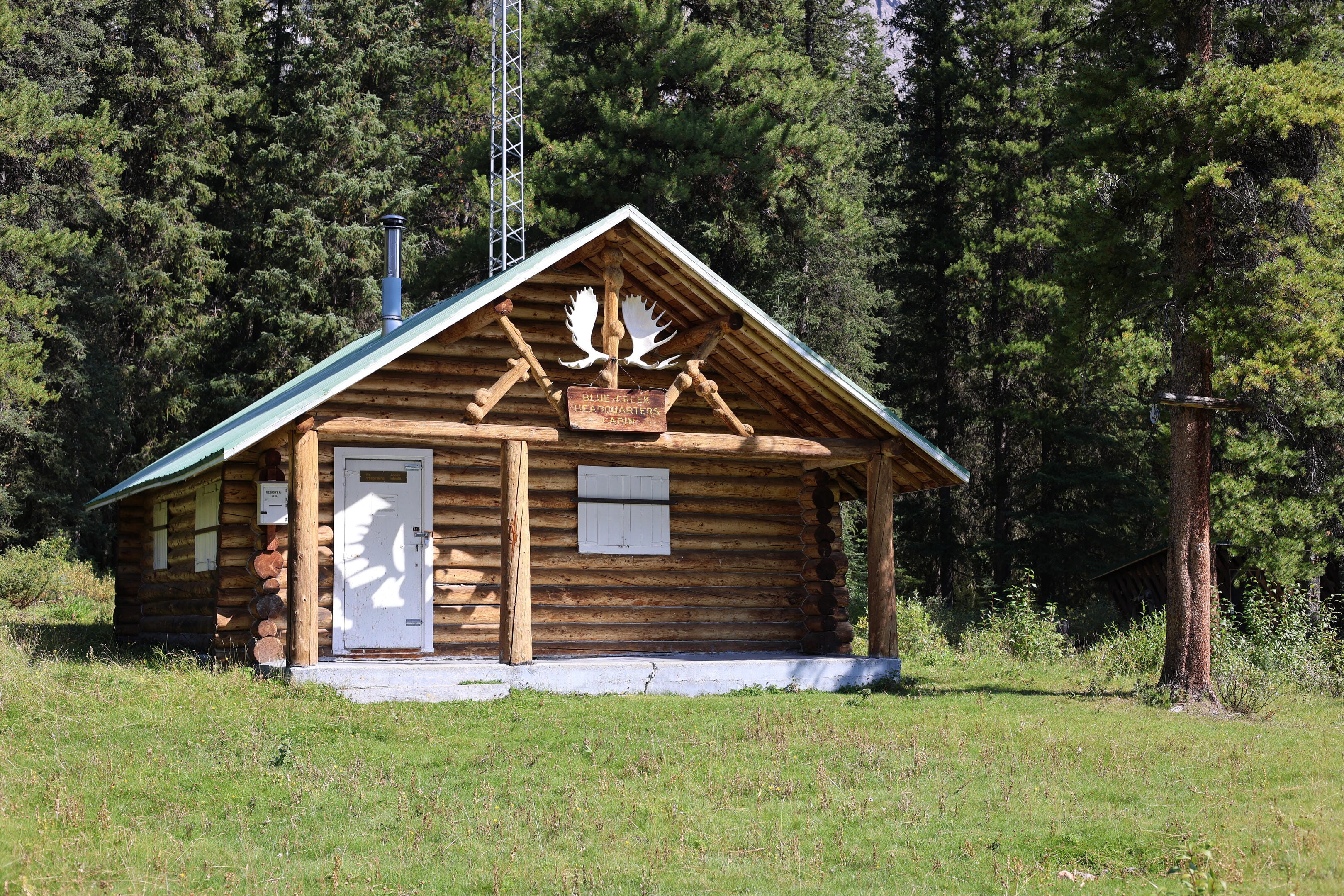
A wise North Boundary Trail itinerary is flexibile, but options keep the mind spinning, usually fruitlessly. I might, for example, skip Blue Creek and go on straight to Three Slides today; a long day, but progress towards the crux of Twintree Creek was appealing. However, I decided it would be silly: I was still hiking some flu away and getting my legs back under me. Blue Creek warden cabin has a trail register worth perusing for news, and as the junction for the Ancient Wall, the campsite would be my best chance to have company until the North Boundary briefly joins the Great Divide Trail at Chown Creek.
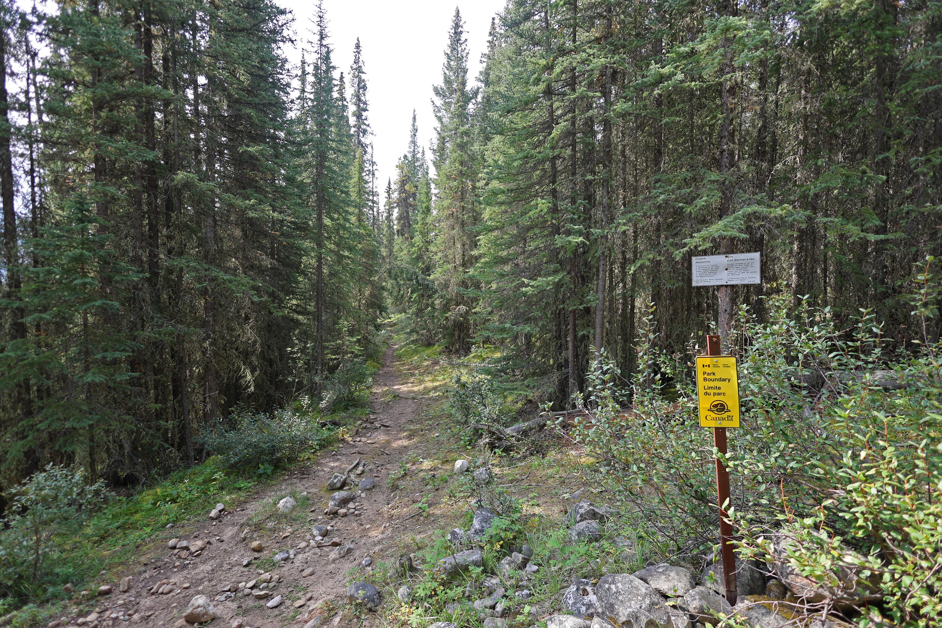
Besides, Blue Creek would be an important symbolic milestone. It was the first of the serious North Boundary hiker bridges to go out without being replaced: a fine suspension bridge upstream of the campsite was washed out fifteen years ago. Since then, Parks Canada has restricted bookings west of Blue Creek until the fifteenth of August, for it is a formidable ford early in the season, long and frigid and dangerous when deep, though a placid enough one later in the year. If it was not placid when I got there, if water levels were higher than usual, then, well, I should turn around, for worse lie ahead. Blue Creek is when what is, up to that point, a straightforward and reasonably popular trail gets wilder and more difficult. From Blue Creek to Chown, the only reason to hike the trail is to do the North Boundary, and few now do.
There are a number of remedies for tired, thought-filled trail mornings. One I’ve mentioned a few times is days that might have killed you, but didn’t. This was not one of those. It was a day of not much. Some hills, a very pretty lake, the warden cabin, and one creek worth the name. The worst climb is early, an only lightly-obnoxious steady three hundred feet that just happens to be the first climb of the trip but doesn’t amount to more than the proverbial hill of beans.
Milk Creek, the only decent water source on this leg, is worth bearing in mind as it comes a bit more than three miles from Welbourne hiker camp; dry, not-terribly-interesting miles with the aforementioned steady climb. From the Welbourne side one first hits a mediocre side stream; just splash through it, as Milk Creek itself is far easier to deal with and only a few more minutes away. It is not just a good water source but, for the hiker, it’s bridged, though in true North Boundary fashion the bridge is off to the side and hard to reach through the trees. The horse ford goes through an obnoxiously deep pool so the bridge is worth it, but it’s close.
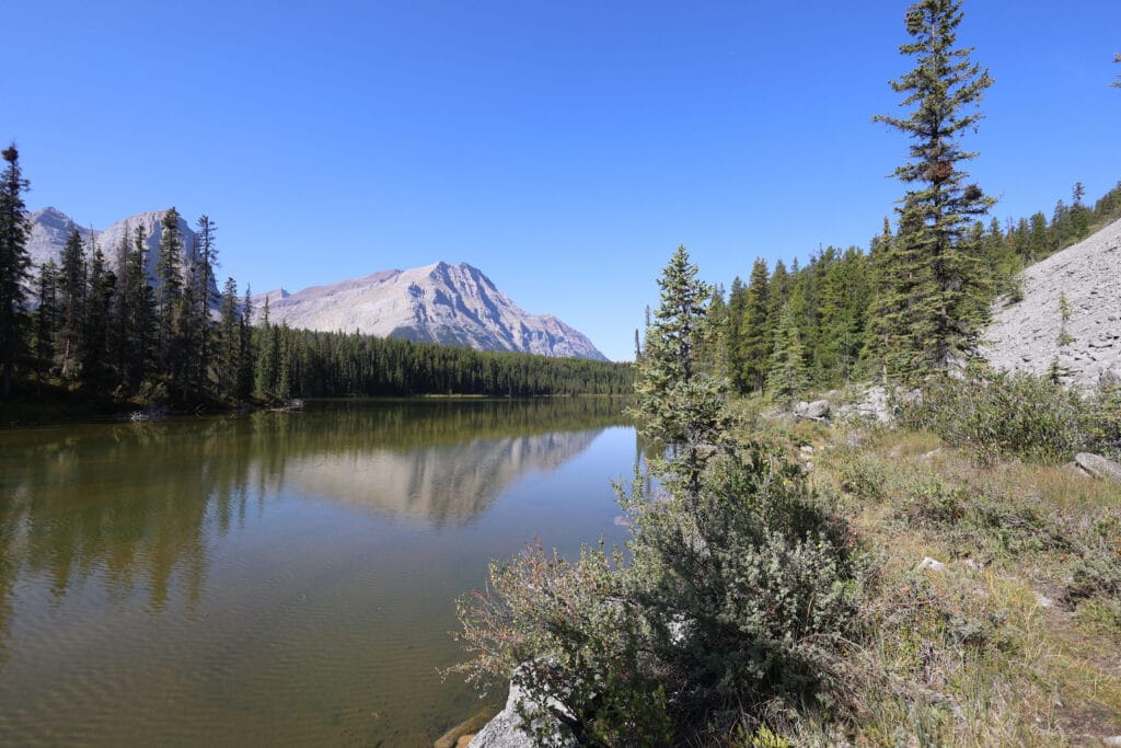
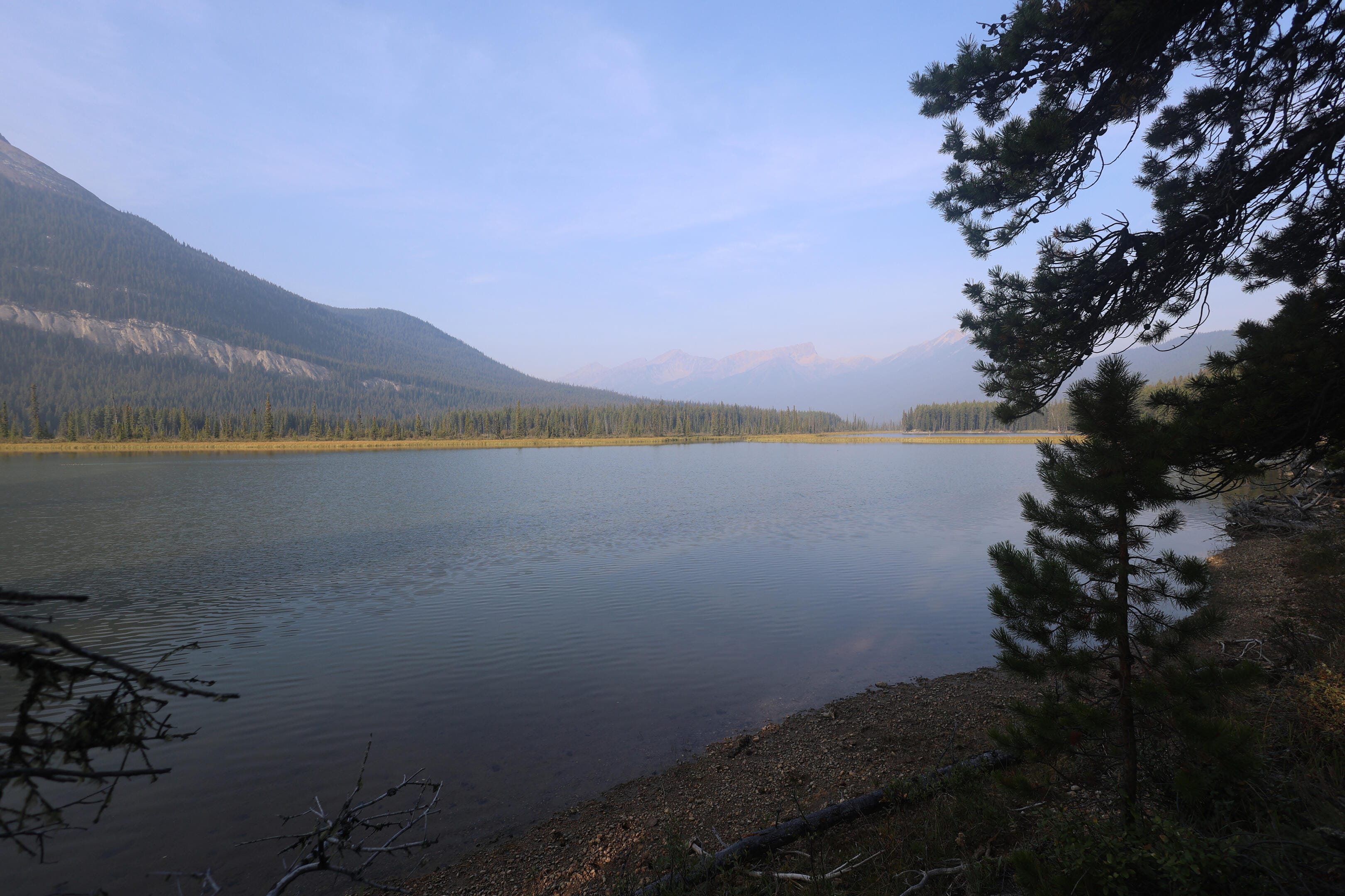
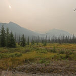
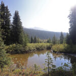
I trekked on through aggravating heat, an up-and-down-but-mostly-up walk through the narrowing Snake Indian valley, but not quite two miles from Milk Creek comes the day’s compensation: Nellie Lake, an outgrowth of the Snake Indian River that barely shows up on the paper maps and not at all on the online ones, but not that small a lake in person. Situated between Mount Simla, the Rajah, and a grand old rockslide, the lake would be the perfect place for a break if it wasn’t a trillion degrees in the sun. I tried to take one anyway, but the ground is so open that it’s good for the views but bad for the sweat. Trail here is intermittently boggy (there are more remains of old boardwalks to fill one with nostalgia) but generally solid,
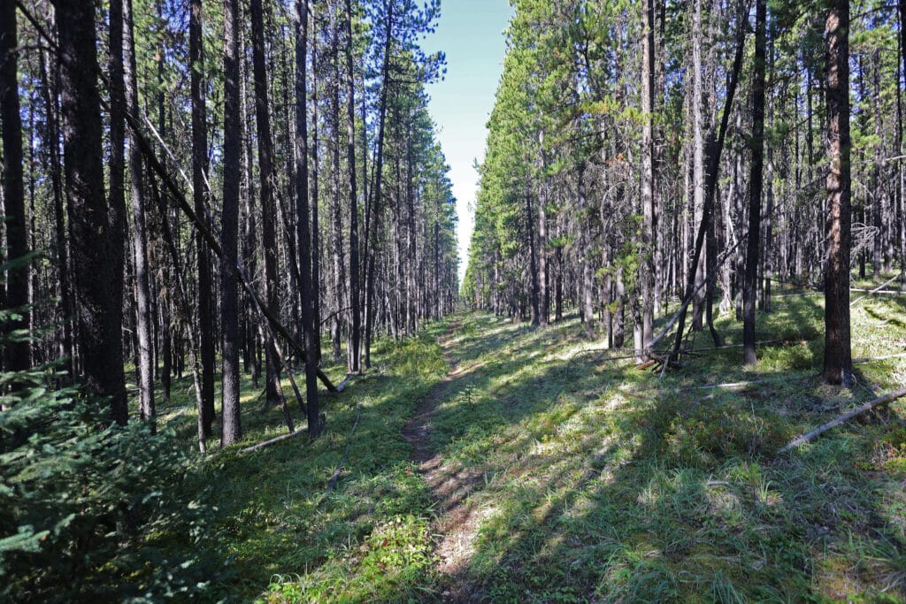
After Nellie Lake, the trail spends a while as level and straight as an old road; interesting in its own way if short of views, then at the fence for the old warden corral (with a good gate that has sagged so far into the dirt it’s effort to open and close) you head up onto a ridge which had best interest you geographically because going up and down it is pretty much all there is to do until it’s time for the cabin itself. You can tell when you’ve reached the turnoff to the cabin because there are signs pointing hikers and horses to the right, but also a clear trail to the left. Look down it and see the shed almost instantly.
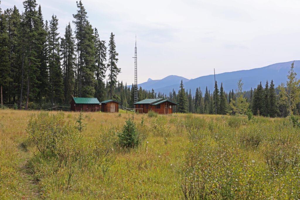
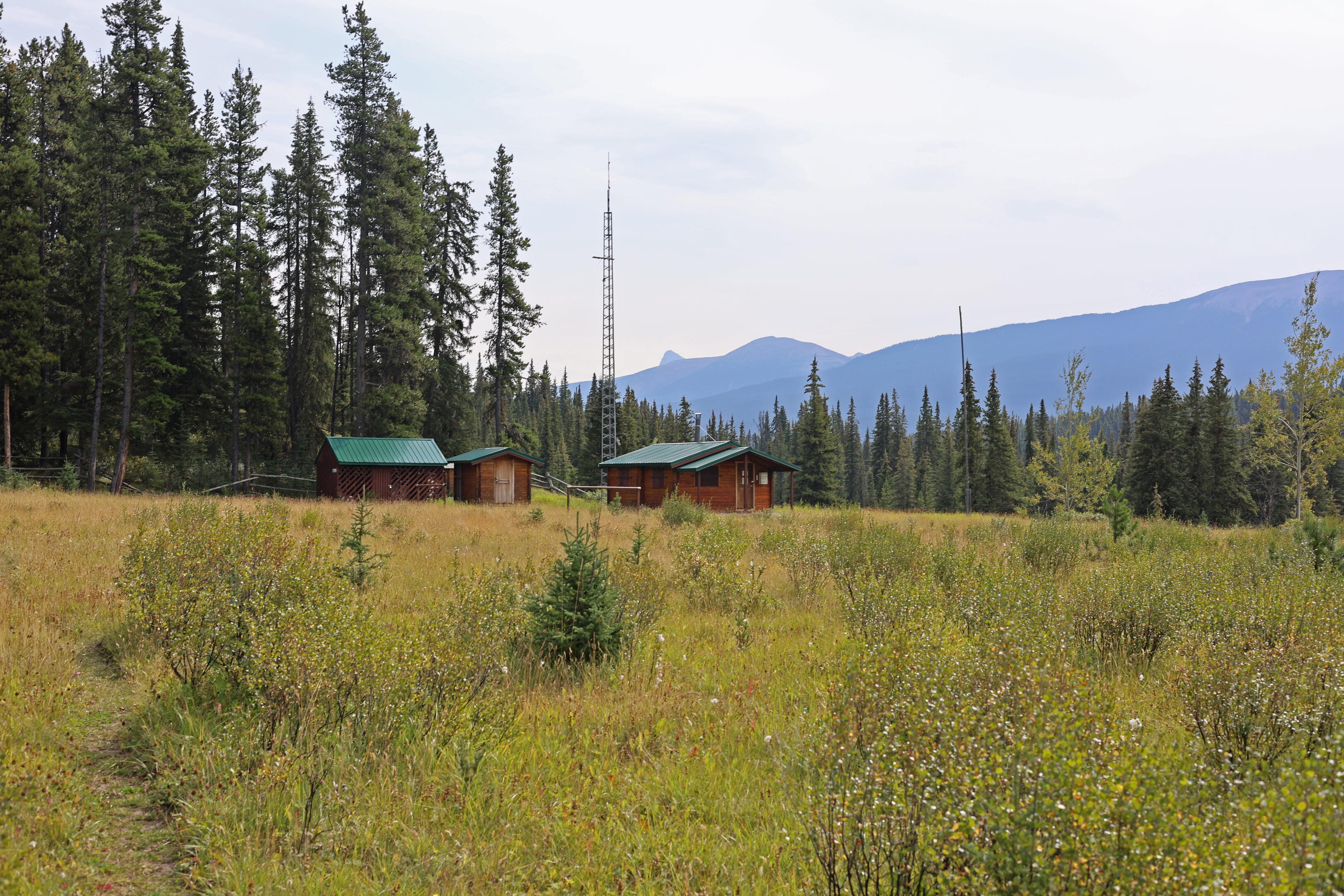
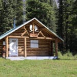
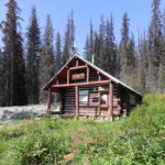
It’s worth the one-minute detour to see the cabin. While not the most beautiful buildings of their type, Blue Creek warden cabin is a district headquarters in a typically gorgeous location and has the aforementioned trail register that repays the time to read it, both full of charm and a genuinely useful source of relatively recent information on a little-hiked trail. People from decades past write short stories of wonderful times arriving from all sorts of now-obscure points, and others share more anxious tales. In 2021 a man night-hiked to the cabin from Ancient Wall trying to find help for a fellow hiker who was stuck at that camp, seriously ill. The would-be rescuer wrote the story in the register, and thinking ahead, left a checkbox to fill in when the hiker in distress was rescued. The box was checked.
The 2023 Moose River party had written in more detail here, and as expected their trauma had been caused by since-cleared deadfall after the spring 2023 snowstorm. It seemed I could expect reasonable conditions all the way to Twintree Lake, though no doubt there’d be a few trees to deal with over a trail the size of the North Boundary, in an area which gets cleared once a year or so.
There are countless more stories in Blue Creek warden cabin which the passing hiker will never see, unless there happens to be a warden4 there to invite him in. In the first half-century of Jasper National Park backcountry wardens lived in their districts year-round with, where applicable, their families5. The canned story is that the women, who did a great deal of unpaid work for the warden service that employed their husbands, were underappreciated, but in fact every time you see a first-hand tale wives are treated with a respect and devotion not even equaled by the horses. A warden in those days created a long-lasting stereotype: a cowboy or a war veteran, powerful, self-reliant, independent, sometimes unpredictable, usually set in his ways, but the steadiest hand in a crisis and the quickest to laugh once it was over. One warden of the era, Frank Camp, spent years full-time in the Brazeau district, issued an ultimatum for a cushier job that went the way of most ultimatums to management, spent years working manual labour around Jasper and Edmonton to make ends meet, got married, and no sooner had he got his wife pregnant than he was hired back on to the warden service, bringing his wife, carrying the first of seven children, back to the Brazeau for winter6.
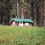
Under the first Trudeau government’s civil service reforms in the late 1960s and early 1970s, Parks Canada began transforming the warden service from a group of mountain men who belonged to their districts to a team of educated professionals with degrees, specializations, and a passion for the backcountry that certainly continued but was now only a secondary qualification. The wardens were moved out of full-time backcountry life and spent, first the winters, and then most of their time, around town or on shorter spells in a variety of areas. The current Blue Creek cabin was built in 1960, just in time to catch the tail end of this remarkable family life. Many records before 1950 were destroyed by Parks Canada after (apparently) moldering unread in the attic at park headquarters, but some were saved, much remains in their home cabins, and in those cabins, and the stories and memoirs of that dwindling generation, stories of the most remote, but fascinating, backcountry job imaginable barely hang on7. Blue Creek itself was, and is, probably the most remote district headquarters in Jasper: probably the first helicopter rescue in Jasper National Park came when a warden’s child fell ill at Blue Creek cabin in 1965 and the park’s helicopter had to be called to fly the child to town8.
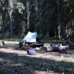
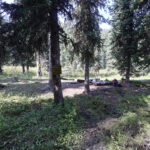
From that remote spot it is a short walk to camp, a simple and largely-signed forest stroll (there was one mystery intersection, probably branching to either the old hiker camp or the warden cabin, but turning right smells correct and is). Once Blue Creek, like Welbourne and Willow Creek, had separate horse and hiker camps, but by the 1990s the hiker camp was already in trouble, as beaver dams built in the area were gradually flooding it out. Parks Canada sensibly combined the hiker and horse camps rather than battle the beavers with their limited resources, and the old hiker camp is now apparently impossible to find. Sharing horse facilities completely legitimately, the hiker at Blue Creek enjoys not just a hiker-friendly bear cable but the horse-camp luxuries of a big fire pit and a green throne. Equestrians, for their part, get to “enjoy” a bunch of hikers pitching tents in the middle of their grazing.
I say “a bunch;” Blue Creek, with its access to the Ancient Wall and the Natural Arch, is probably the most popular campground on this part of the North Boundary Trail but “most popular” is a terribly relative term. It has few views, more problem trees than some other sites, and lacks most of the nice little homey touches that make some other camps feel friendly, but it also has a convenient location and plenty of space. I’d compare it to Isaac Creek on the South Boundary, another horse-hiker camp that’s too useful to pass up but is just sort of there. However, it is a comparison in Blue Creek’s favour: Isaac Creek is down-at-heel and well past its prime, while Blue Creek is at least in good condition. It has two bear hangs, one can find everything easily, the corral is in decent shape, there is nothing inspiring about the place but also nothing depressing. The party piece of Blue Creek is a nice little table at hip height by the firepit, a simple amenity but a pleasant one. Blue Creek could host a good-size group in perfectly reasonable comfort. If I was going to have company, this was the spot, but that didn’t make it likely.
So when I arrived early in the afternoon I enjoyed having the place to myself, did some laundry, put out some solar charging, neither of which were easy with the lack of consistent sunshine anywhere around the shaded campsite, and chilled until, at around half past four, a couple turned up.
This was pleasant, to say the least, until it became embarrassing. Not because of my wet socks on the table; I think I whisked them away in time. No, it was the conversation. It all started out swimmingly, with the easy happiness to see company way in the backcountry where one didn’t expect it, as they came in from Three Slides and I said hi and they said hi and the chat started, and the woman of the couple asked, “are you Ben?” Why yes I am. “Ben Massey?” That’s me!
This was not the embarrassing part; meeting blog readers in the middle of nowhere is always a pleasure (there aren’t many of you). They had intuited that I might be on the North Boundary this year from my many posts of longing, and such attentive reading is completely flattering. The embarrassing part was that we’d met, and I needed them to all but walk me through it: they were the couple I talked to on day two of my Fiddle River hike on my way to the South Boundary Trail, a conversation which I well remembered once they’d reminded me of almost every detail. They had hiked in to see Snake Indian Pass and were now on their way back out, with a day trip to the Ancient Wall coming up9; a really good example of the sort of trip you can still take on the North Boundary when you don’t want to deal with the whole thing but still want to visit wild places.
Embarrassment aside it was good to talk to them, not least for a trail report as far as the pass: there was more deadfall after Blue Creek, once the last of the Willmore-bound horse parties had gotten off the North Boundary, which was what I expected, but it wasn’t severe, and that was a relief. They were also clear about the poor conditions I could expect at Three Slides camp: the privy was there but trees had fallen over it and the bear hang was down, so there was nothing much to recommend it besides the views. I mused out loud about skipping Three Slides, but that would have made for an 18-mile day, the kind of distance I prefer to avoid, so even before we’d finished talking I’d decided that wasn’t likely to happen.
It was good to have good company in camp. We chatted about the usual hiking topics, I got my bear hang up with only three times the usual farting around, and while I hit the hay pretty early, it was only because all of the tiredness was starting to add up. Also, my socks were still damp, and I had to shove them into my quilt to dry out overnight. Life is tough.


Apart from all the coughing, it was finally a good night’s sleep. I was up early and in good spirits, in time to see the other two campers off on their way to Ancient Wall, while I made coffee and embarked on what, despite some brave talk the previous night, I had already pretty much decided would be a one-campsite trip to Three Slides. It was over nine miles, so not quite short, across tougher trail than the previous three days. I told myself that if I hit Three Slides before one in the afternoon I’d be duty-bound to push on to Oatmeal, then more-or-less deliberately spent enough time over breakfast and coffee to make that highly unlikely.
While Three Slides is short on amenities, it was supposed to be long on scenery, so my conscious self-sabotage of a long day had a point. In the event, it was a perfect morning and a solid day, even a little bit cooler than the previous two scorchers, and despite an unexpected and unwelcome climb at the end I came unpleasantly close to making it by my must-go-on time of 1 PM anyway. Good thing I didn’t; Three Slides was wonderful.
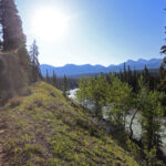
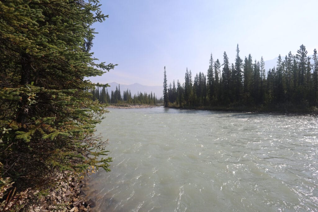
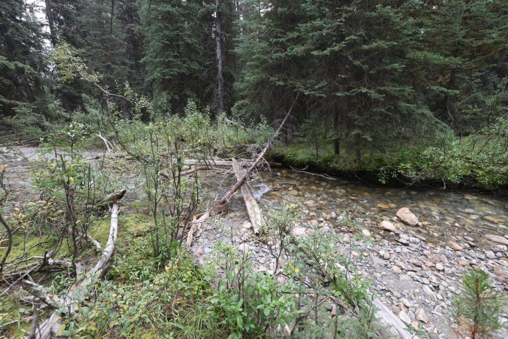
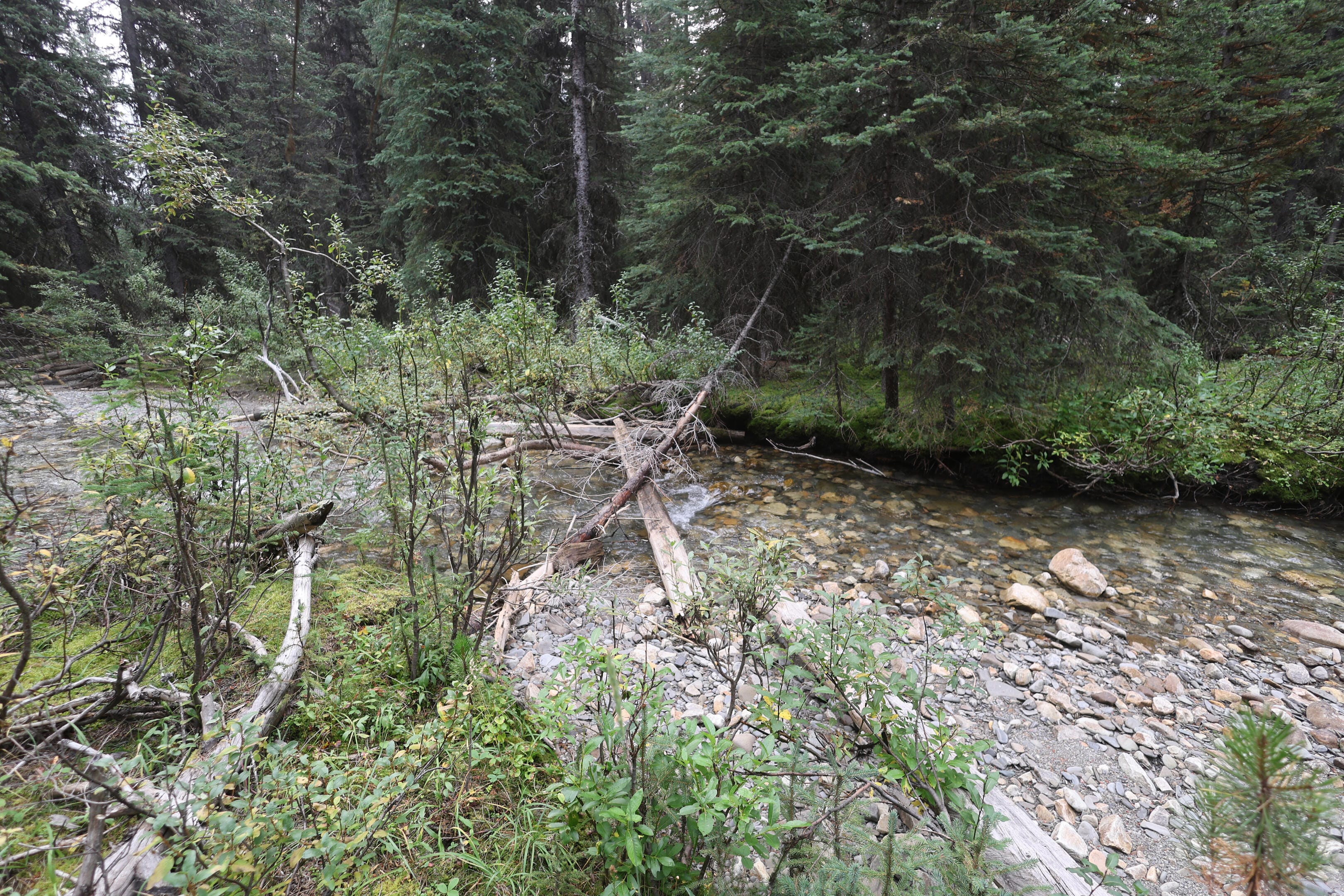
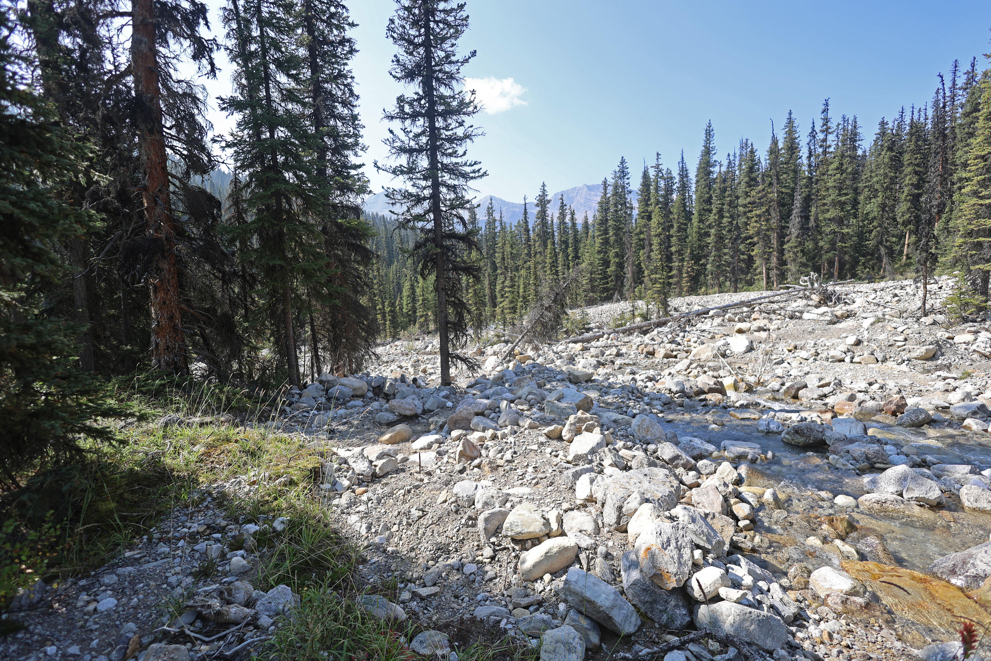
From here on I expected real hiking. Less traffic, poorer trail, more climb, more mud, more fords, more hassle. First off was crossing Blue Creek, which is not as close to camp as it seems it ought to be. Modest walk, a rock-hop of a little tributary, and then I arrived at the great barrier which closes the campsites west of that point until late in the season. For much of the summer Blue Creek is a dangerous ford, all three of long, deep, and swift. By this point of the year it was still fairly long, and not slow, but shallow enough to barely lap at the bottom of my knee at its very worst. The great difficulty of Blue Creek on a beautiful morning in late August and early September is not stopping: its long span gives fantastic views towards the Snake Indian River, and the only balancing to be done is not spending so much time admiring the views mid-stream that your feet are frozen by the glacial run-off.
So my dried socks did not last long, but it had been worth it.
This is as good a place as any to mention how I like to ford a river: in short, “the same way I hike everywhere else.” My pack is buckled up, my boots are on, my trekking poles are in each hand. The theory behind the usual unbuckling of hip belts when fording a river is that, if you go under, you can more easily get the pack off and swim for shore; in my opinion, with the smaller and lighter packs of the 2020s this is less important on a ford of any normal depth than having a stable load that won’t shift as you cross. Likewise, wearing my boots gives more stability and comfort during a ford than bare feet or any water shoe, as well as saving time and hassle changing footwear before and after every crossing. It’s true that crossing in boots and socks makes said boots and socks very, very wet, but in my experience, when you’re on the willow-strewn and muddy trails of the Canadian Rockies backcountry, if it’s a dry day those boots and socks will dry out just fine as you hike, and if it’s a wet one they’ll be soaked whether they went in the creek or not.
These are purely individual choices. For example, I wear liner socks beneath my wool hiking socks and have well-broken-in leather boots, and I always take a warmer sleeping bag or quilt than I expect to need, so my feet and socks dry overnight and I tend not to be prone to wet-sock blisters as much as others. However, some people seem to think that water shoes are mandatory parts of a river ford, and it isn’t so. On near-totally unbridged trails like the North Boundary, time spent changing your shoes at every ford which could go over the lip of your boots will add up.
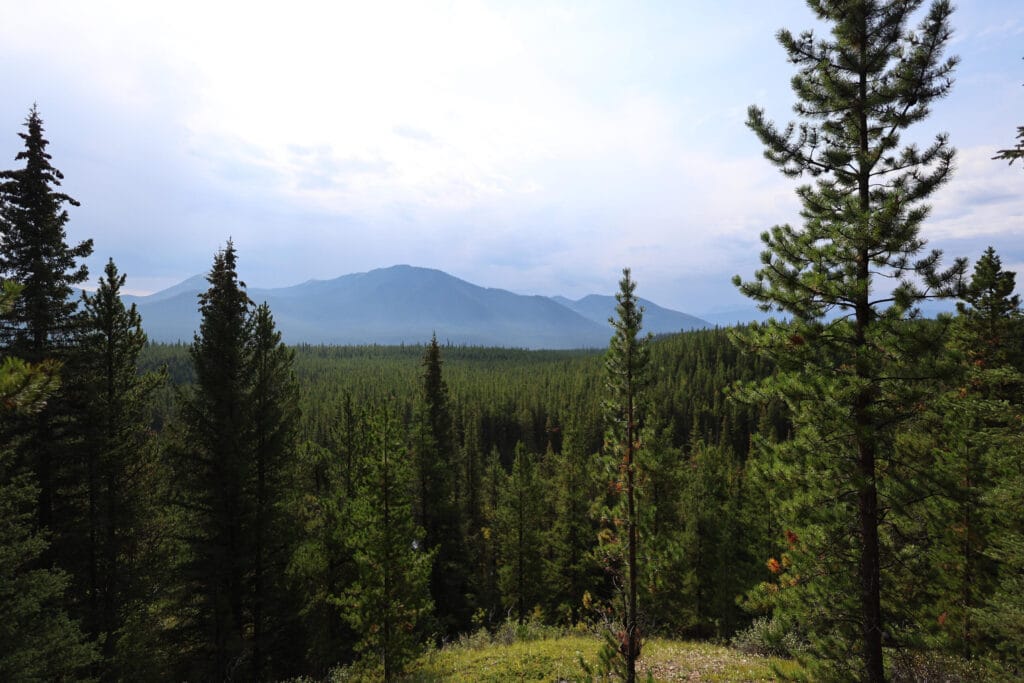
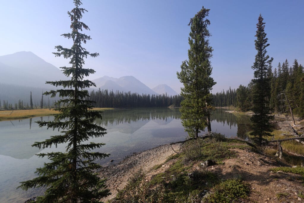
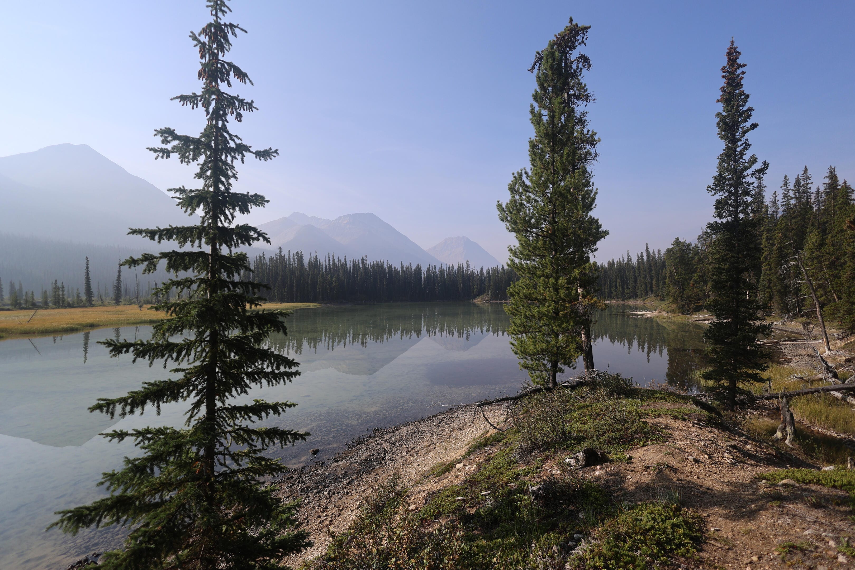
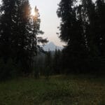
This is a good day to discuss general topics. The Canadian Rockies Trail Guide refers to this section as “scenic,” and it is, but it’s a nine-mile day with all the scenery in the first half. The best parts are at Snake Indian Lake, a great widening of the river that opens up lovely views not only of the lake itself, but of the mountains beyond and, at one famous point, Mount Robson as it just peeks through a gap opened by distant Steppe Creek and Snowbird Pass. I obediently put on my 50mm lens and snapped a shot of Robson from this unusual angle, but it’s hard to discern through the haze. I certainly did not feel the mountainlust that seized George Kinney when he saw the monarch of the Canadian Rockies. Perhaps that obnoxious lingering haze, whatever it was, was to blame, and I was not actually sure that it was Robson rather than Resplendent.
Still striking, whatever it was; indeed, the whole hike along the lake breaks out into views more than once, and it’s always worthwhile when it does. Unfortunately the cheery walk around the lake is about your whack of scenery until Three Slides.
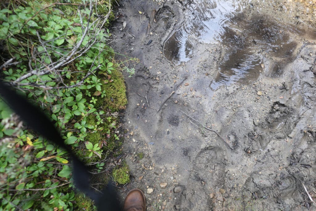
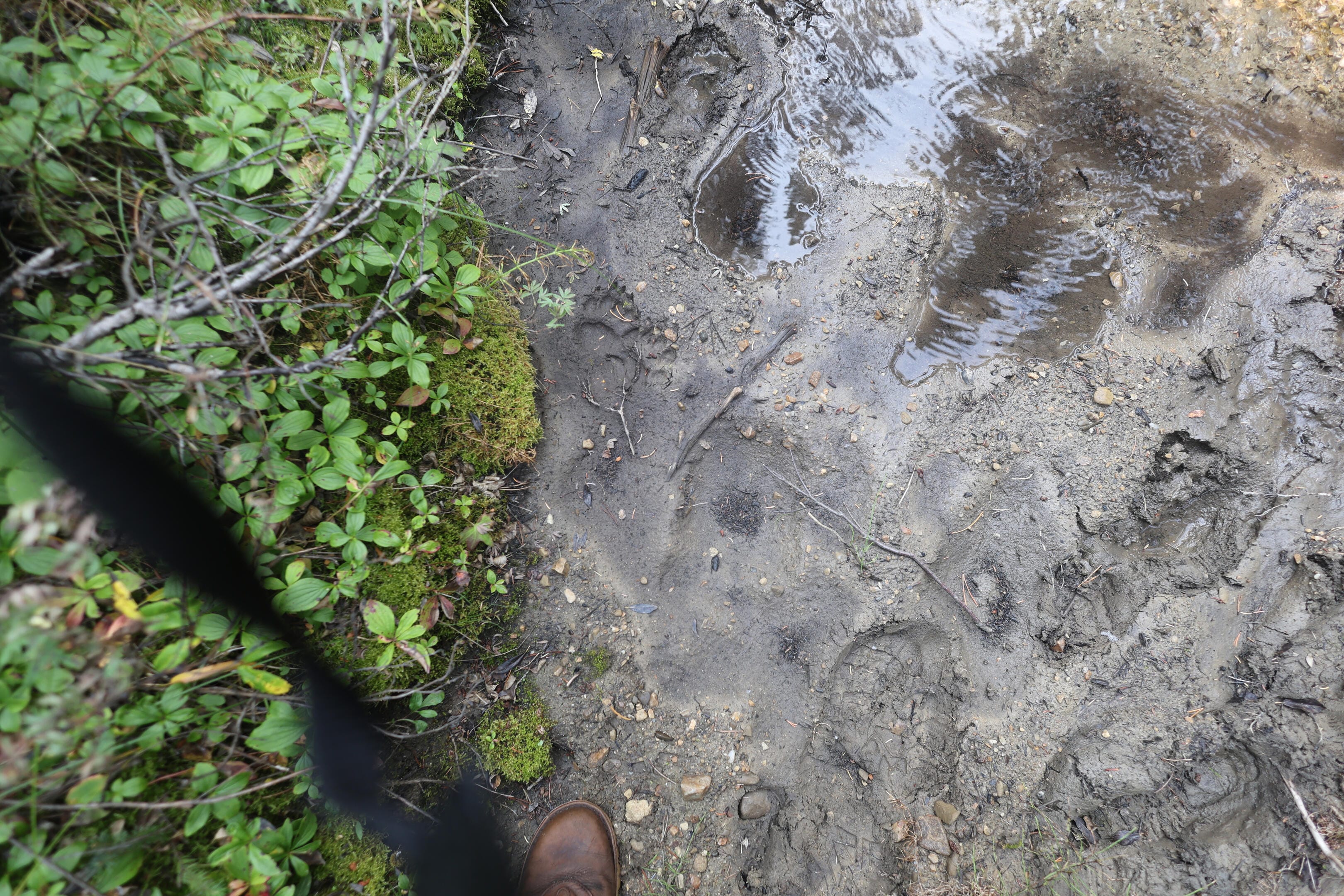
Afterwards there’s a good deal of forest walking with a growing amount of up-and-down, not generally bad and with good prolonged spells on eskers, but hardly scenic. At some points the trail is quite near the Snake Indian River, which livens things up, but the main theme of the day is not views but a growing sense of isolation. Every bootprint I saw, and there were few, I assumed were from the couple I’d seen heading to Snake Indian Pass and back. There were a good many moose tracks, some that I reckoned were wolves, more dead-clear bear tracks (both black and grizzly) than earlier, and sensibly fewer horses. What horse plop there was looked old. I was getting out there.
However, while the trail was brushier and the tree clearing was no longer very fresh, it was fresh enough that the trail was clearly not abandoned, and the deadfall only rose to the level of annoyance. There was definitely more, often of the classically awkward waist-high variety, but more remarkable was the deadfall that wasn’t. Semi-fresh cuts, with the bloom only a bit off the orange stumps, abound; most of the trees still down had green leaves or needles on the branches.
Compared to what came before Blue Creek it was only a change in intensity. The path is narrower (though still hard to miss), the climbs more common, the remaining boardwalks more obviously unusable, although it wasn’t for a few days that I realized all the trees on the boardwalks had been placed there deliberately. More challenging, but only so challenging as to be charming.
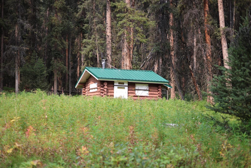
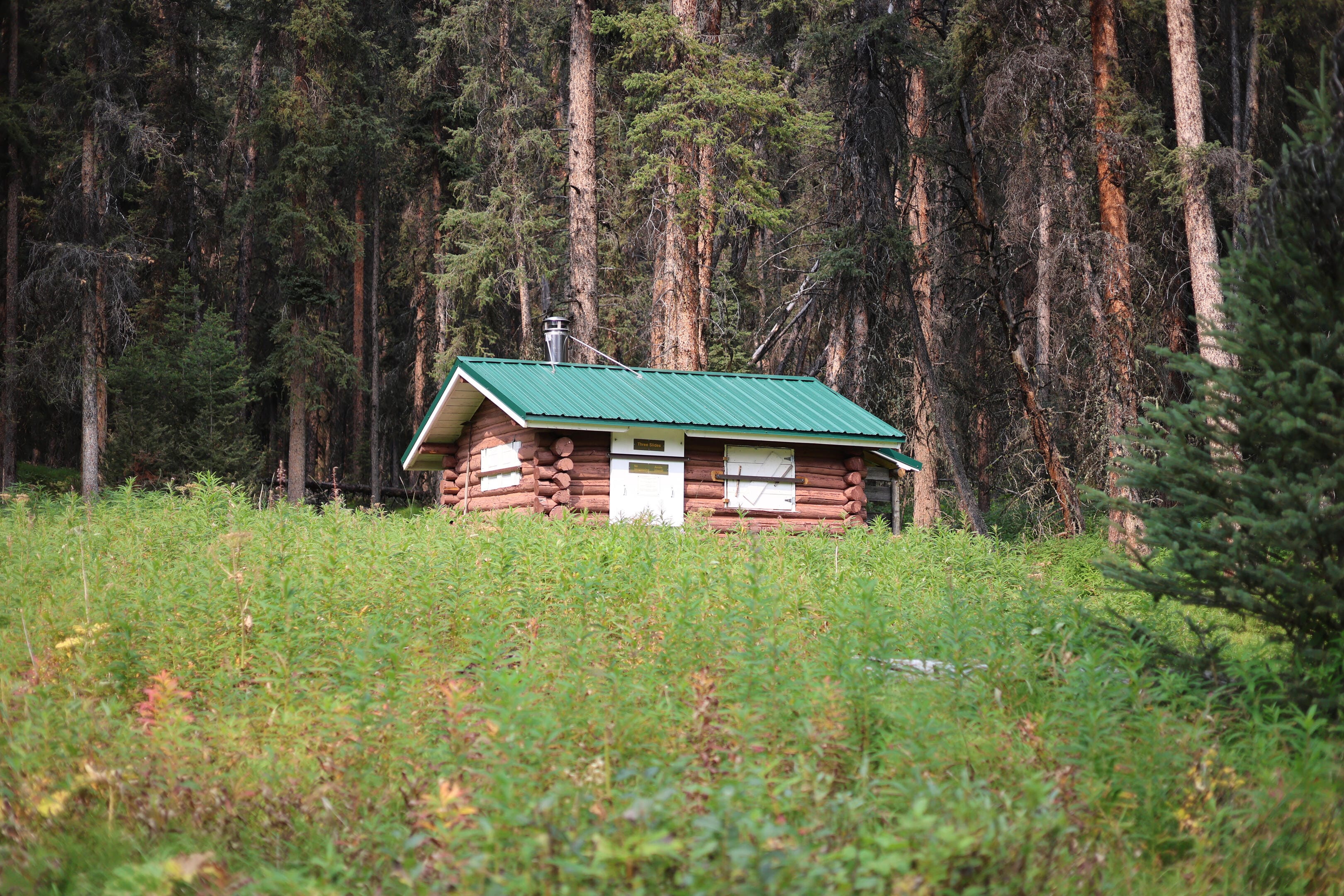
Three Slides patrol cabin looks usable, but that’s the best I’ll say about it. It got the new green metal roof with the rest of the cabins so it can’t be abandoned. But from its position in a heavily overgrown field it seems the wardens make little use of it, and small wonder. A single tiny shack in a forest of fireweed, no corral, no porch, no signs of recent habitation that I saw, and not much room for home comforts. With Hoodoo patrol cabin on one side and Blue Creek district headquarters on the other, a not-at-all-challenging ride apart, I would not be at all surprised to learn the warden parties had done no more at Three Slides cabin for years than make sure the place was intact.
Jasper National Park strictly forbids backcountry users from entering or camping around warden cabins. You will not be tempted at Three Slides, under almost any conditions, for camp is only another two miles off and it’s far better. The hiker crosses some slides (though, by my count, it was four not three), bashes through some brush, finally deals with a more annoying, lengthier, and steeper up-and-down than I for one expected or found quite fair, and then a quarter-mile spur trail leads to Three Slides hiker camp, which makes up for all of the nuisance of getting there almost instantly.
When Brian Patton and Bart Robinson wrote the early editions of the Canadian Rockies Trail Guide, they were able to promise “wild, remote country without river fords and bushwhacking, where pleasant campsites await the weary hiker at the end of every day’s journey.” The consistent contentment of those days is now gone, and besides all the river fords, one must pick and choose one’s campsites based on what’s important to them for almost none of them have it all.
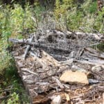
In a backcountry camp I take atmosphere over amenities. Blue Creek has every facility a hiker could ask for but is really not a very interesting place. Three Slides has almost jack. When I found the privy, with the tree fallen across the pole-and-a-hole, I was able to snap enough branches off to use the thing, but it was a bit snug and anyway the pit will be full in a few years whatever else happens. The bear hang has been gone for at least six years, so it’s safe to say it won’t be replaced any time soon. Tent sites are both few and bad, with the camper finding his personal sweet spot between slopes, bad ground, and dangerous trees. Water is from a nearby slough which, once you find a deep bit (follow the animal tracks), ain’t bad as sloughs go, but still ain’t great. It also has one of the best mountain views I’ve seen anywhere.
Beautiful, jagged peaks range across the vista to the south, mountains of such geographic insignificance that few maps bother with their names but which are a feast for the eyes, forested, rocky, cliff-banded; in fact glorious, except of course in the direction the Snake Indian River actually runs, whereupon you look straight up to the fabulous glacier of Upright Mountain. Birds chirp, the tracks of big game fill the slough, promising wildlife if you stay up late and keep quiet, and honestly the slough is probably the prettiest slough you’ll ever see, channeled and broad and grassy and handsome.
I loved it, and was deeply glad to have stopped.
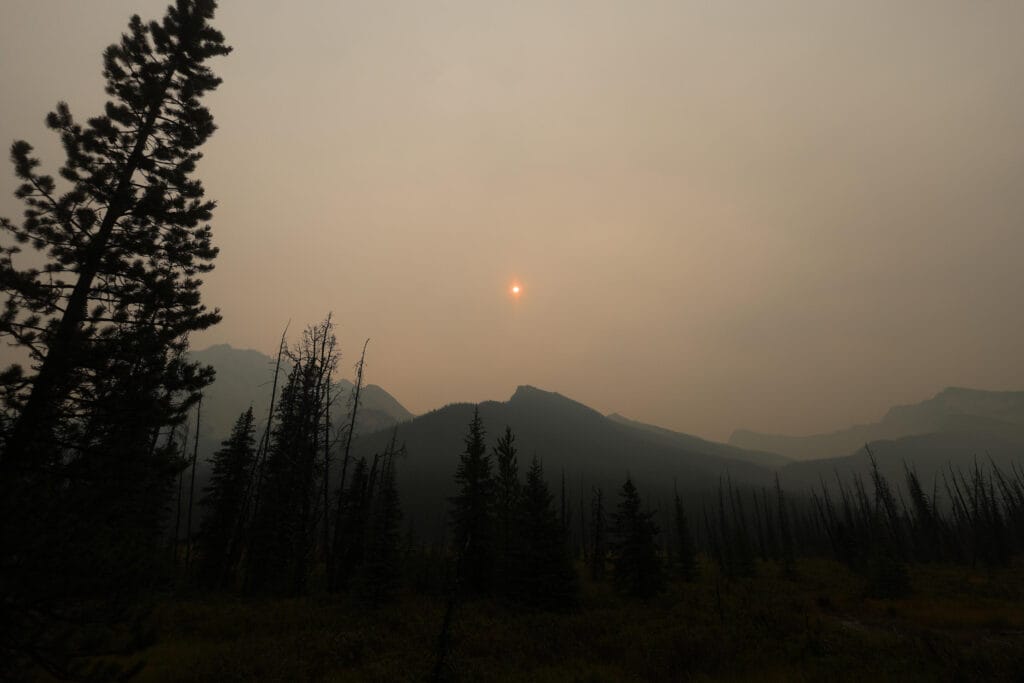
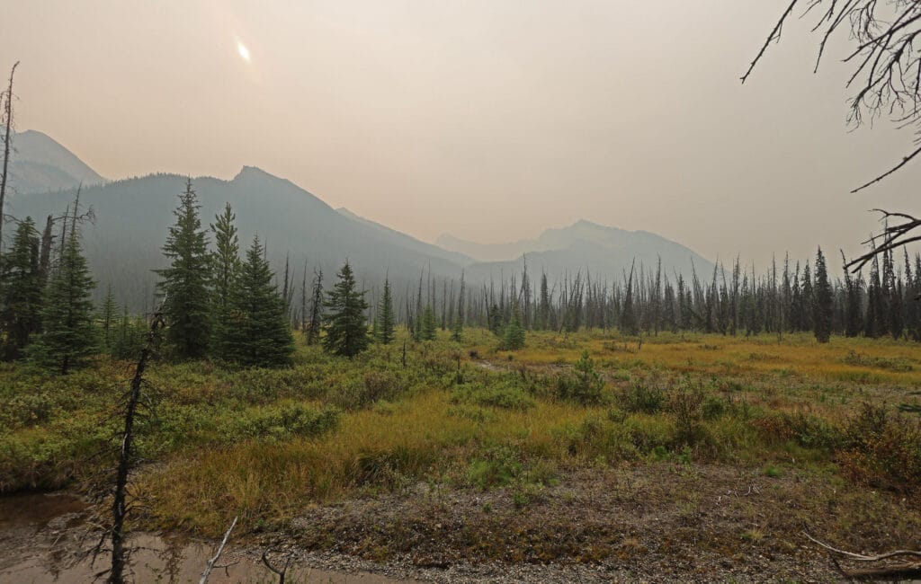
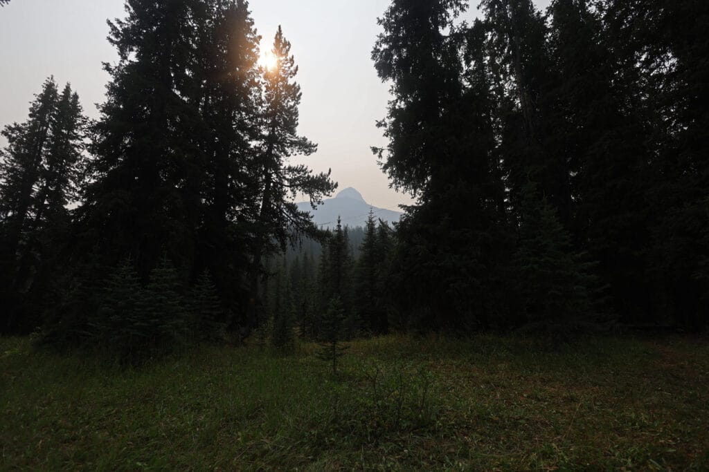
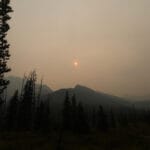
The views were impinged by that haze I had noticed on the horizon resolving into a growing cloud of wildfire smoke. When I’d gone into the woods four days earlier there’d been no wildfires anywhere near the North Boundary, and while the smoke seemed high-altitude and distant I at least like to know where it’s coming from. Fortunately I had a source at the BC wildfire office and was able to inReach her for assurance that this had probably blown in from the fire near Prince George, altogether too far to endanger anything but my views: going to the backcountry and escaping the always-online world is great while we can do it, but it’s nice to have the option to break one’s silence.
Feeling safe, I drank plenty of slough water, threw up the best 2CR bear hang I could given how low-hanging branches on every conceivable tree wanted to foul my rope, and adored all the scenery I could see. Wildfire smoke is a nuisance, without any kind of doubt, but it does lend a romantic mist to a thoroughly awesome scene. It accentuated the feeling of wildness, of being far from the normal run of things and sleeping in a place where few travel. I adored the passing, chirping birds, which were more plentiful at Three Slides than anywhere else. I did not adore the mosquitoes, but it had been cold enough overnight that even camped by a slough they were plenty bearable. The night was so pleasant, the feeling of making progress so real, that I was starting to worry about crossing Twintree Creek again.
Which was actually sort of nice. Back on an even keel.


Through some combination of germs, swamp water, smoke, an ounce of rye, and backcountry ennui, I had strange dreams and woke in a weird mood that soon metastasized into a bad one, a classic “why do I do this crap?” morning.
The smoke was thicker, no real surprise in a valley after a windless night, and Upright Mountain was invisible. It cast the most literal pall to go with my pre-soured attitude, knowing that with my next camp just around the corner of Snake Indian Mountain was hardly likely to be better.
With time in hand, and a pissy mood, I tried not to hurry and instead to enjoy myself, but failed. Mornings like this happen to me on long backcountry trips, then vanish in the haze of nostalgia: as the memories came back I remembered there’d been a few on my South Boundary Trail trip and I’d survived. Sadly the awareness that I’ve had bad moods in the past does not provoke a more constructive emotional response than “well, here’s another one.”
I packed clumsily and grumpily, ate clumsily and grumpily, left at nearly ten o’clock and hiked clumsily and grumpily up towards Oatmeal campground. Coming out of Three Slides requires light hiking technique. There are streams and mud and hills and rocks and deadfall, and I attacked with clumsy grumpiness which of course made me clumsier and grumpier as the terrain stubbornly refused to get out of my way. The sun was blocked by smoke, so I was cold, and after a bit of hiking I was sweating and cold, making me clumsy and, might I add, grumpy.
There are two places on this leg where horse and hiker trail diverge. As the trail is mostly maintained by horses the horse trail will typically be in better shape, although also wetter, because the usual reason to split the trail is to let the horses splash through water that won’t bother them while hikers head off to tougher but drier country and, maybe just maybe, even a bridge. The hiker trail nearer Three Slides just goes up and down a little shoulder while horses splash through a stream for a hundred yards, and is recommended.
The second hiker trail I might skip if I come this way again. It leads over no worse than the usual deadfall, but then crosses a stream which six years ago had a bridge and now does not. The ford is pretty easy, and I know because I did it three or five times trying to find the trail on the other side. The far bank has an obvious dug-in point which looks like it should be the way to go, and for a few yards you follow obvious track by long-ago-cut logs and feel pretty good, but it soon peters out, and there is nowhere obvious from there, or from anywhere else. I faffed about looking for the trail, crossing and re-crossing to change the angle and get around problem trees, and saw nothing. With a GPS in hand and the knowledge that the horse trail would be closer to the river I saw no alternative to bushwhacking in that direction, where I eventually tripped over clear trail that saw me through. The two I had met at Blue Creek had placed a piece of flagging on the entrance to the hiker trail from the Oatmeal side, but personally I’d probably just trust the horse trail and get wet, especially since there’s a ford either way you go.
This did not make me any less clumsy and grumpy. At every stop the smoke made me cough up a lung. I blazed on, tried to climb over a tree I should have gone around, broke a dead branch off and fell face-first into some moss. Somewhere through the climbing and scraping I tore a business-card-sized hole in my hiking shirt. Clumsiness and grumpiness intensified. Aware of my mental state, I decided to put myself in timeout at the earliest opportunity and stop at a stream for a water break, but the first one I saw was a tiny trickle that would have only made me clumsier and grumpier even apart from the moose plop in the middle of the flow. I went on a few minutes to a second stream that was every inch as bad, right down to the moose plop. But shortly after that came a third stream, much more ample, devoid of droppings, and on the far side was a bench.
That bench saved my day. I have no idea who built it, it’s small and primitive and so old any Flying Trail Crew markings are long gone. The wood is almost white with the passage of the years. But just seeing it, a whimsical piece of comfort in a land where even the bridges are gone, bucked me up beyond belief. I sat a spell, filtered some water, and it was instantly a better day. I had more deadfall coming and most of my day’s climb, the smoke was still aggravating my lungs, but my mood did a hundred-and-eighty-degree turn for the rest of the hike. God shines his grace in the most mundane ways, with some inexplicable, elderly bench.
You begin climbing towards Snake Indian Pass on the way to Oatmeal, taking care of nearly half of the elevation gain. The Snake Indian River follows you up, usually from a distance but sometimes just close enough to be picturesque despite the smoke. While most of the day’s hike is a forest stroll that eventually becomes a steady forest climb, there is still some scenery on this unheralded bit of trail. The forest is pretty, once one has the mood to appreciate it, and while the post-Blue Creek increase in deadfall persisted the trail remained far from abandoned; at a few cuts I even saw sawdust. Still no fresh horse sign, still more moose and deer and black bear, but somebody other than the hikers I knew about had come this far. It was hopeful, because it wasn’t likely to get much worse than this, and this was not bad.
Thus cheered, I climbed away, missing the turnoff for Hoodoo patrol cabin. I had planned on visiting what is supposed to be a pleasant and historic structure, as well as the greatest memorial left to one of the Canadian Rockies’ greatest climbing dogs, but I had been looking for a fork in the trail with a hiker sign pointing one way and the cabin in the other, similar to Blue Creek. I did not see it, which either meant I overlooked the sign or the sign is gone. Seeing the cabin would have been nice, but my main thought was that the guides say that, after the cabin turn, the climb really starts, and so I hauled my coughing carcass up towards the pass thinking “is this not the real climb yet? Is it supposed to get tougher than this?” It was, and it didn’t.
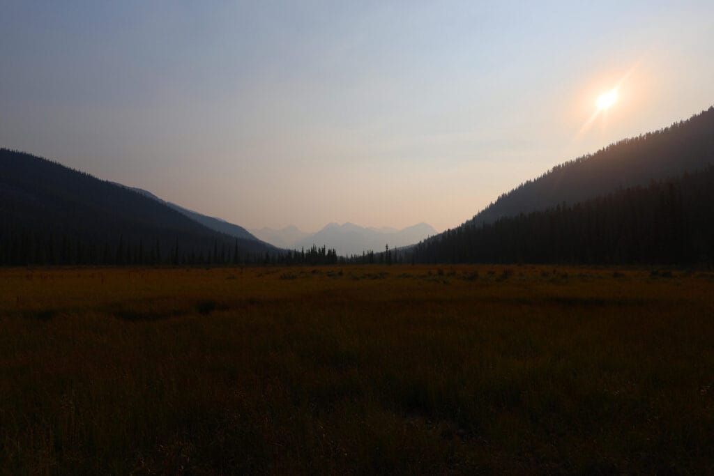
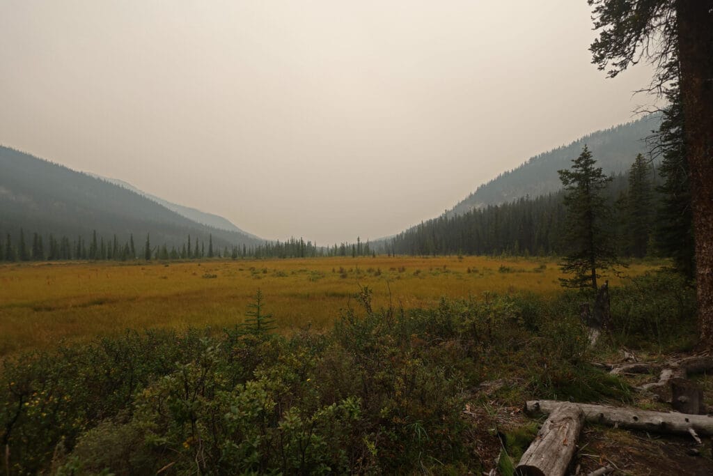
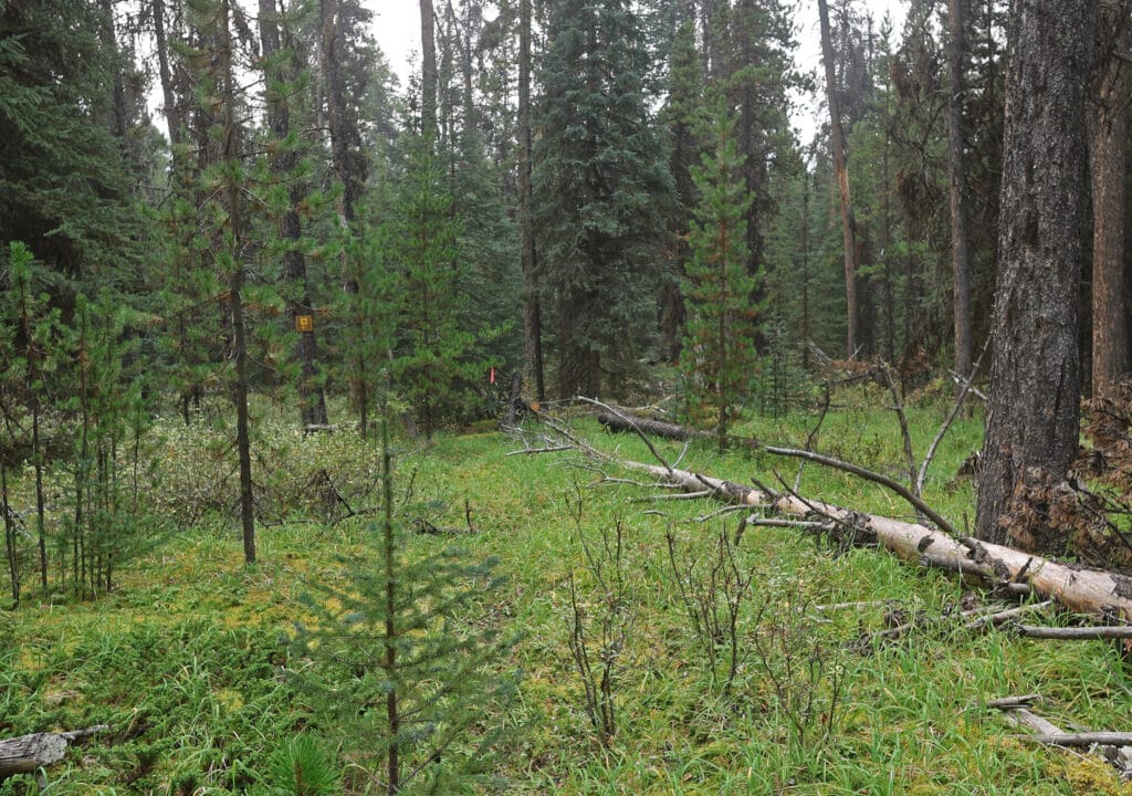
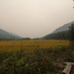
So after a very grim start I was fated to finish with a very pleasant surprise. All the old videos of Oatmeal camp show an unmistakable, unusually big square sign with a tent symbol and the word “OATMEAL,” probably visible as soon as you step into the meadow. That memorable sign is definitely gone, because after setting up camp I looked for it. But its absence meant that I walked into a meadow, wondering when camp would come, and was almost into the tenting area before I realized that this was it. I had not expected to be done, but I was, right now: one of the best feelings on the trail.
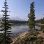
Best of all, Oatmeal is a lovely place. Snake Indian Pass is three miles off and invisible through the trees, and none of the views from camp are astonishing, but it’s parked on the end of a meadow with interesting mountain views on two sides. Across the river, Calumet Peak is silhouetted by a subsidiary ridge like the little peak is using Calumet as a hat, and the best view for whatever reason is from the bear cable. Even apart from the views it’s an open, cheerful place, with room to stretch out, a combination of shade and sun depending on need, and an extremely pleasant vibe. Water is from an easy trip down clear slopes to the Snake Indian River. If you like a tent pad free of debris, grass, pinecones, young trees, and roots you’ll only notice when it’s too late, Oatmeal is not for you, for like many of the North Boundary campsites it is becoming overgrown through lack of use. If you want a flatish spot with mostly grass beneath and good staking, you’ll be golden. As a shared hiker-horse camp there is both bear hang and green throne, and a large fire area with, on my visit, two old grates shoved to the side to make room for a stone fire ring. Since it is illegal in Jasper National Park to make a fire outside a park-provided metal fire grate, this amused me as of course nobody had ever possibly used the stone ring.
It’s a nice site. It feels welcoming. There are benches and stumps; apart from the missing sign and overgrowth there are no signs of depressing deterioration. It wears its years and its obscurity well. “Come in!” says Oatmeal. “I was hoping somebody would come. You have a pass either ahead of you or just behind; rest a while.” Campsites in the backcountry have personalities that are hard to define from a list of features and description of views, it can’t be put into words but if you spend time in them you’ll know what I mean, and Oatmeal’s personality is wonderful. Three Slides has the views, but Oatmeal has the feel.
The welcome, sadly, extends to the local insect population, but they are all I will say against Oatmeal. Another fact which is more interesting is the degree to which the advance of willow across what was once a vast campground and pasture. Memoirs of Jasper wardens and outfitters who spent decades in the backcountry sometimes observe that the great grasslands of the backcountry have been increasingly encroached upon by willows and alders. Such shrubbery must be very severe to bother a horse, which is why horse parties of any stripe seldom clear them away: indeed, the summer of 2025 was the first time in my memory that a number of horse parties complained that the undergrowth was getting severe enough to interfere with their riding. Moreover, in campgrounds like Oatmeal, fewer people sleep there on fewer nights of the year, so the willows are less often disturbed and spread accordingly. If you see a video of Oatmeal as recently as 2019, then experience it today, the difference is noticeable. Gradually, year by year, piece by piece, through sheer unuse these backcountry paradises are becoming less and less hospitable. It will get worse before it gets better.
This did not change the warmth of Oatmeal’s welcome, for mine was the only tent there and there was room for a few others in any event. I got under canvas early, not to escape the bugs or the creeping sense that I was in an endangered place, but in hopes of a good night’s sleep before an early rise and one of my longest days of the trip.


I had hoped being further above the river would reduce tent condensation but not a bit of it. One advantage of hiking short days is that, however the tent gets overnight, you should have time to dry it out (or it’ll rain all day and condensation will be the least of your problems); this would be a long day. Still, condensation is such a minor discomfort in the great scheme of things that I would put up with a wet footbox in exchange for a successful 15 miles of hiking.
Early indications were golden. The weather was perfect, the smoke had blown out in the night, and I had slept better than usual, probably through the boring but effective expedient of hitting the hay at eight. While fifteen miles, including a pass, is long by my usual standard, the day had the right shape: start off by going over Snake Indian Pass, and then downhill all the way until Twintree Lake. I would skip Byng campground, which has a reputation for ugliness, primitiveness, and porcupines, and while there was a chance of another increase in deadfall, the perfectly manageable number of downed trees to this point gave no reason to expect or fear it. A combination of determination and optimism was the order of the morning, for it just had to get done, and there was every reason to think it would be as good as it could be.
I had to leave early, despite the perfect morning and the lovely campground. Unlike Byng, my next planned camp at Twintree has a very good reputation, and I wanted to spend as much time there as possible. Delayed by the September sun rising at the time it saw fit I left a bit after 8 AM and, if I was on good form, figured I could allow eight hours for the hike, which meant camp a bit after 4 PM. That would do just fine.
The first hurdle was a big bundle of deadfall just outside of camp, visible almost from my tent, that wound up being a reasonably graceful walk-around. The second hurdle was climbing Snake Indian Pass, which was a completely worthwhile hassle.
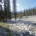
Of course there is the climb, which is hot and heavy and starts almost immediately, but it’s not a bad climb in the scheme of things. The early North Boundary Trail went over nearby Byng Pass, just to the north, not Snake Indian. By the middle of the twentieth century the trail had moved, probably because Byng Pass is 1,200 feet higher, but that in turn raises the question of why the earlier travelers took Byng Pass in the first place. Perhaps, in an era more dominated by horses, the explanation lies underfoot, in all of the mud today’s Snake Indian Pass hiker must drive through.
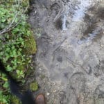
Oil-tinged, impossibly deep pools of elemental muck. The sun was low and my glasses fogged-up so my evasion was not at its best, but however hard I tried the mud got me, and I was sucked in to the depth of both knees not once, but several times. It was far from omnipresent, and therefore bearable, but while it lacked West Coast Trail length it certainly had West Coast Trail depth and there were no friendly logs or stumps in the mire to help the hiker evade the worst of it.
Then there’s the matter of keeping the trail, of which I can only comment on the way up to the pass for reasons that will become obvious later in the narrative. It gets difficult in spots to literally stick to the tread, as it spreads out through willows and grasslands, and losing it at some point is probably nearly inevitable. However, you’re climbing a pass, you know what to do, so it’s nothing to worry about so long as you remember to keep the river below you and not race downhill on a blind quest to intercept anything. As a rule of thumb, when one is in a meadow of grass fringed with willow, the trail is probably in the willow. There was one broad field where the trail disappeared utterly, but the return on the other side was flagged. While I lost the trail I never lost my sense of direction, and it doesn’t try to surprise you: there are no dirty tricks, just times when you walk across the meadows and keep an eye out.
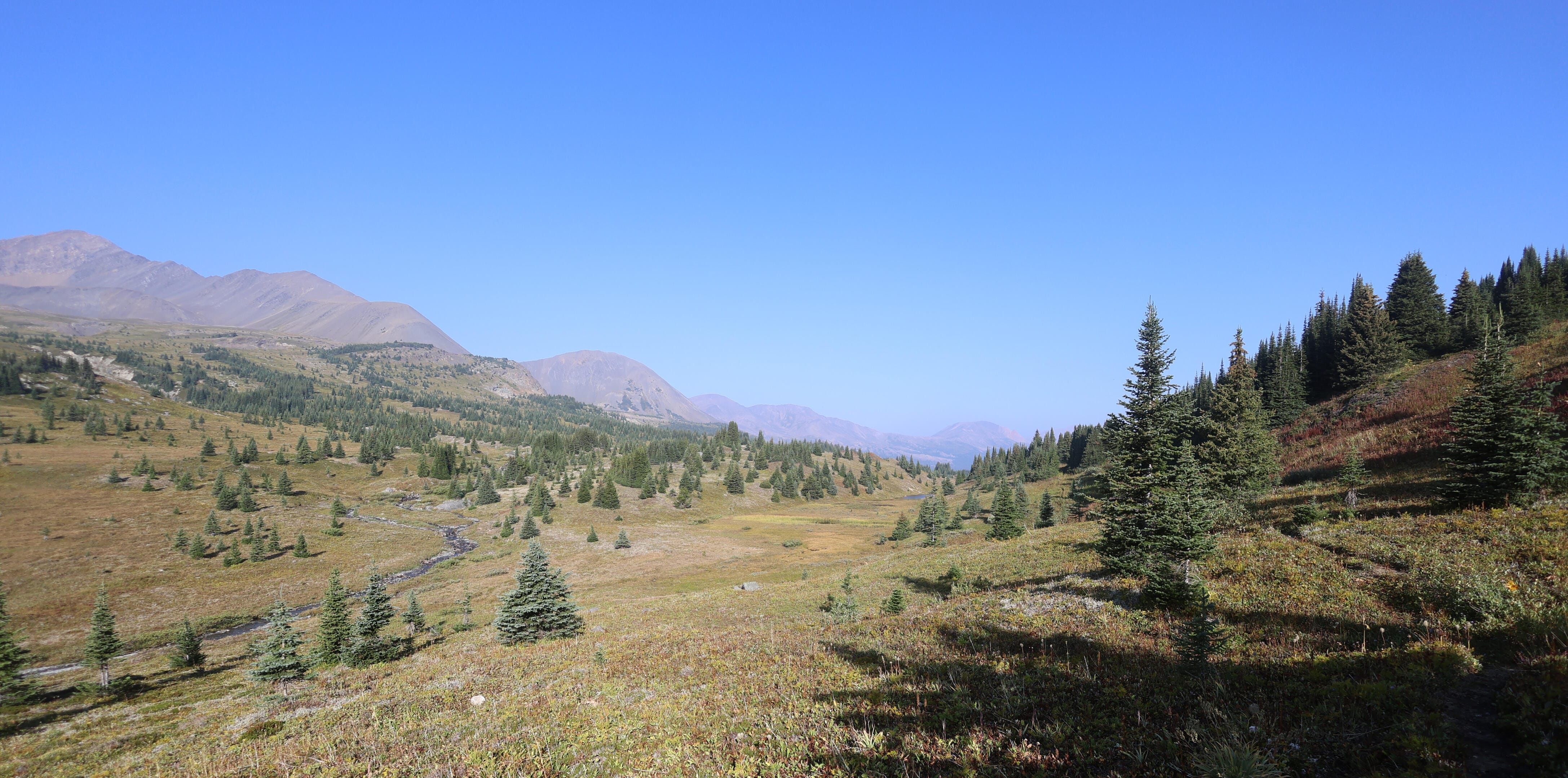
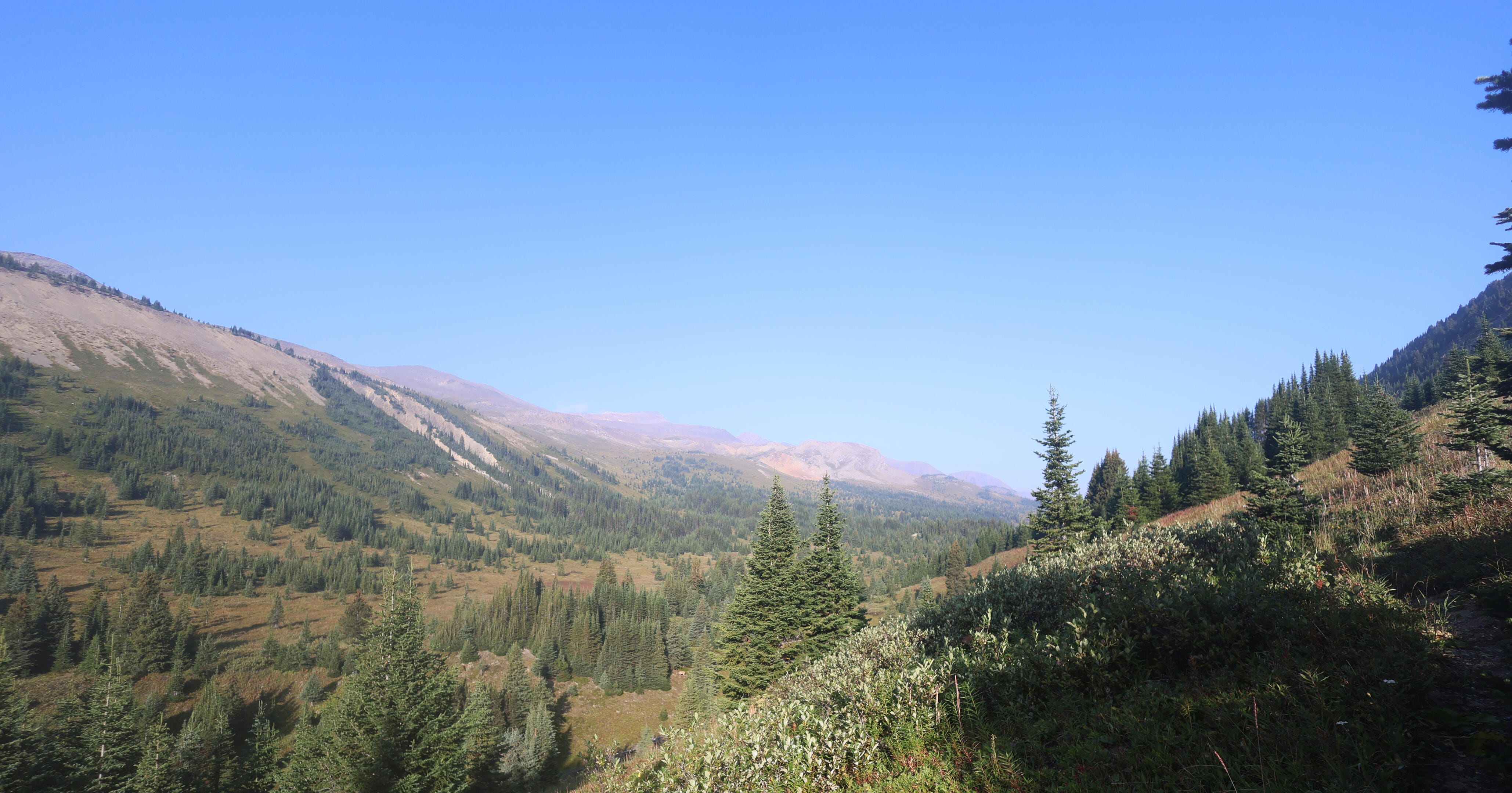
So given time, patience, mud, and horse sense, Snake Indian Pass will be well worth it. It’s a lovely grassy, horizontal place, not the great rocky hostility of a classic mountain pass but an easy trip above the river with views that lack drama but have plenty of pastoral beauty. It lives, it flows, it is thoroughly pleasant on a nice day and on a mean one has enough shelter to be more than usually bearable. Because, for whatever reason, God really wanted me to enjoy my vacation, my weather was again perfect give-or-take fogging on my camera lenses that ruined most of my photos, and that hardly counts.
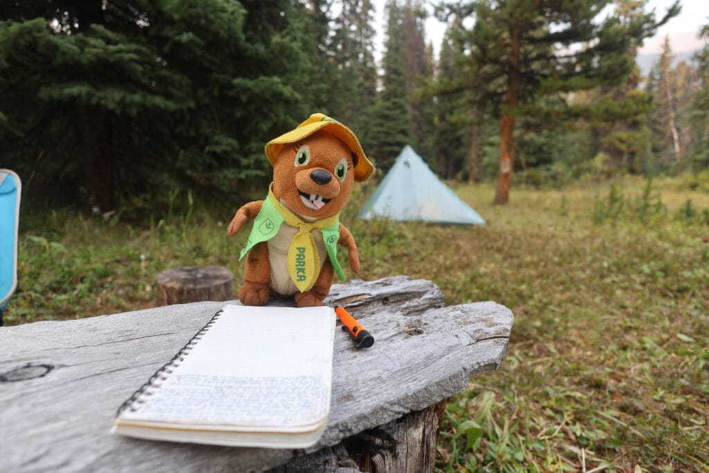
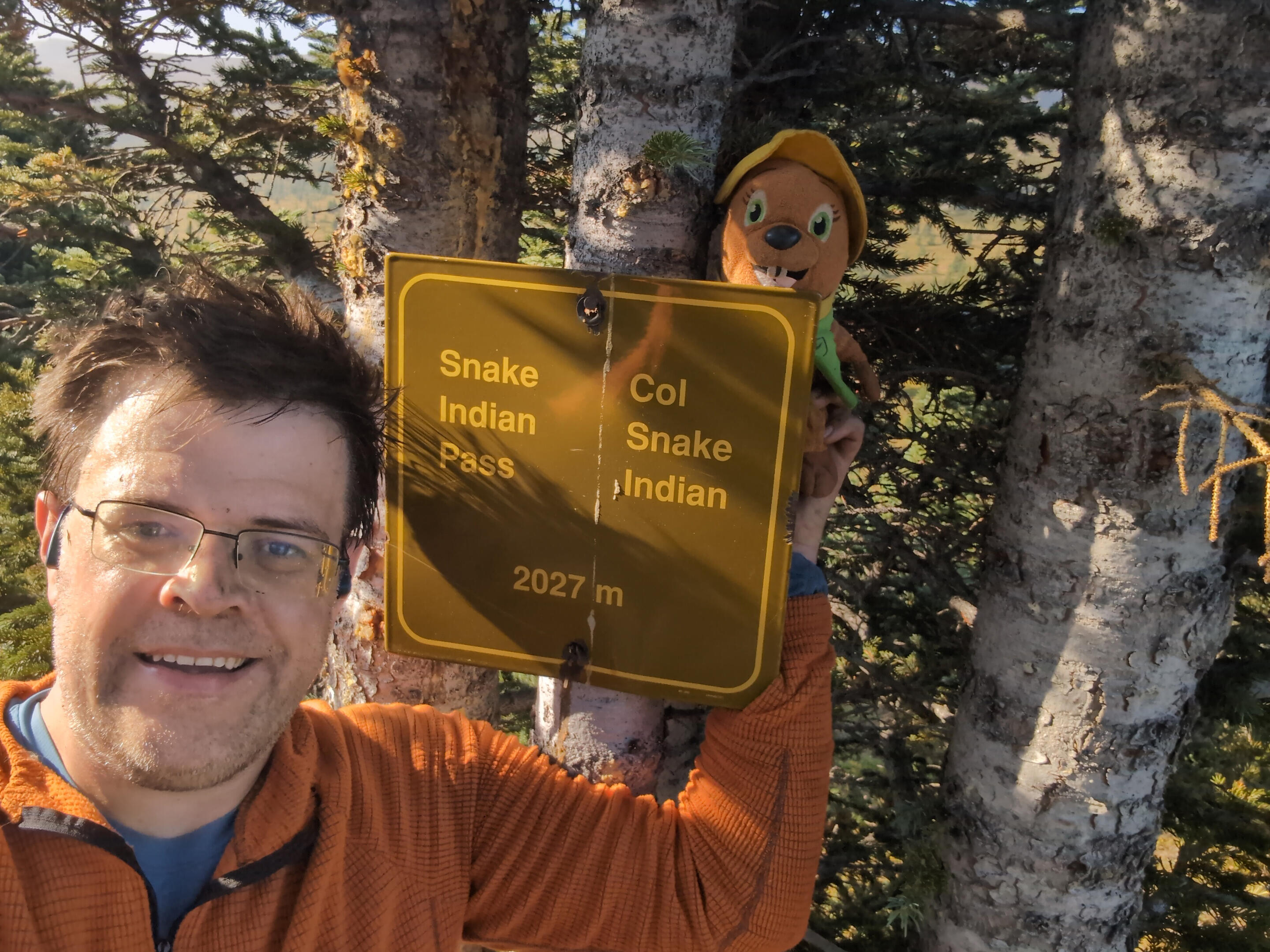
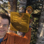
The hiker’s highest point is actually well on the Snake Indian River side of the pass; you can still see water flowing east while you head down slightly. So proceed a little farther than you’d think for your meeting with the sign proclaiming the pass, not-too-well-hidden in a tree to the left. Parka and I got our selfie, and it’s a great place to feel proud, as Snake Indian Pass is not only the North Boundary Trail’s highest point by some distance but also near-as-makes-no-difference the halfway point of the hike from Rock Lake to the Berg Lake trailhead.
Animal instinct says that the way down from the pass should be easier than the way up, and when heading west across Snake Indian Pass animal instinct is exactly right. It’s steeper, but not nearly so steep as to be a bother, and less muddy. But, funny thing, I was also seeing fresh horse sign again. I knew a Jasper National Park trail party was heading in my direction, but had hardly expected to meet them so soon, and if this was them it was odd their tracks only reached the pass: had they gone off on one of their inevitable side quests and caused me to miss them?
They had not. I heard them on my way down, shouted “hey bear!” in case that’s what it was, got back a “hello” because it wasn’t, and ran smack dab into a waiting team of horses, men, and woman. It was a narrow point of the trail on a bit of a ledge which was not where I’d choose to run into a group of horses, but I was still glad to see them. If they were there, it meant they had just cleared the trail that I was about to hike, and if there was any awkward routefinding to be done, for a few days it would be made easy by a clear line of fresh horse tracks. I also got to ask about the Twintree Creek ford. The warden I talked to had presumably gone across on horseback, but after some thought he reckoned it was about to the top of the knee. I would later learn this was an underestimate but it gave me heart, not just because that would be plenty manageable, but because running into a very fat and very sweaty hiker, he had not felt any need to overhype it or talk me out of it. The sense of ease that conversation gave me was misplaced, but not my confidence in the clearing: except for one specific hiker detour, deadfall ceased to be a concern for the rest of the North Boundary Trail.
Extremely grateful though I was for the meeting they had a lot of work to do, and so did I, so I did not prolong the conversation, but asked if I ought to try and skirt around the back of their horses, on the only sliver of trail I could possibly cross. The warden said to go ahead, and though no wise man likes walking around right behind horses on the edge of a ridge, they did not turn a hair. They must train their horses well at Ya-Ha-Tinda: they’ve only been at it for a hundred years.
The single and solitary downside to walking onto the path of Jasper National Park’s annual trail-clearing is that their horses travel heavy and, where the ground is soft, they chew the trail up. Coming down from Snake Indian Pass, the ground is certainly soft. However, either there were more chances to dodge around the really nasty mud or I was better at spotting them, because I only got in up to the knee once. I was also on guard against complacency, to not assume that horse tracks necessarily meant the direction I want to go, for the wardens do have tasks that take them off the main trail and I’d hate to accidentally start chasing a wildlife camera rather than my campsite.
Such mud, tracks, and slightly more scenery than expected brought me to Byng. You’ll know you’re getting close when you start descending a ridge by switchbacks (fancy!), and at the level of Twintree Creek (the lesser, early half that flows into Twintree Lake rather than out of it) there are clear signs of flooding that never make the trail hard to follow, but do catch the eye. Byng seems a bit more open today than it does in the old videos and photos. But it’s still an obvious skip: it’s all compact, austere, and practical but uninviting. As unlike Oatmeal as could be imagined, Byng campground was not an affable place, like it had been named by William Lyon Mackenzie King in a fit of pique. My lunch break proved a bit shorter than I’d expected before I felt the need to press on.
The leg between Byng and Twintree has a well-deserved reputation for drabness. Inoffensive, at least in the dry conditions that kept the horse-churned mud in check, but a good deal of the same unfascinating forest walking that one has already experienced a good deal of. Rocks, roots, and mud are too common to allow steady and long-lasting bursts of speed, and it’s a section of trail that just sort of has to happen for you to get to the other bits. Another good reason to skip Byng, by the way: if that was your entire day of hiking, what would your brain even have to do? At least, this is the case until you get to Twintree Lake, at which point there are things to think about, but it takes some time. The record shows two hiker-horse diversions in this area, but either because the hiker signs are down or I was following the horse tracks without looking up much, I must have taken the horse trail both times because I didn’t even see the splits, and I only realized it in hindsight so they can’t have been inconvenient.
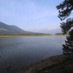
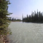
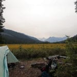
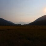
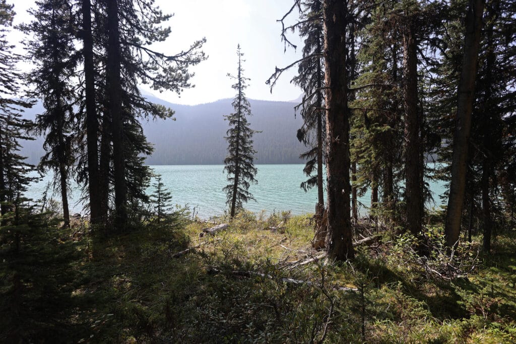
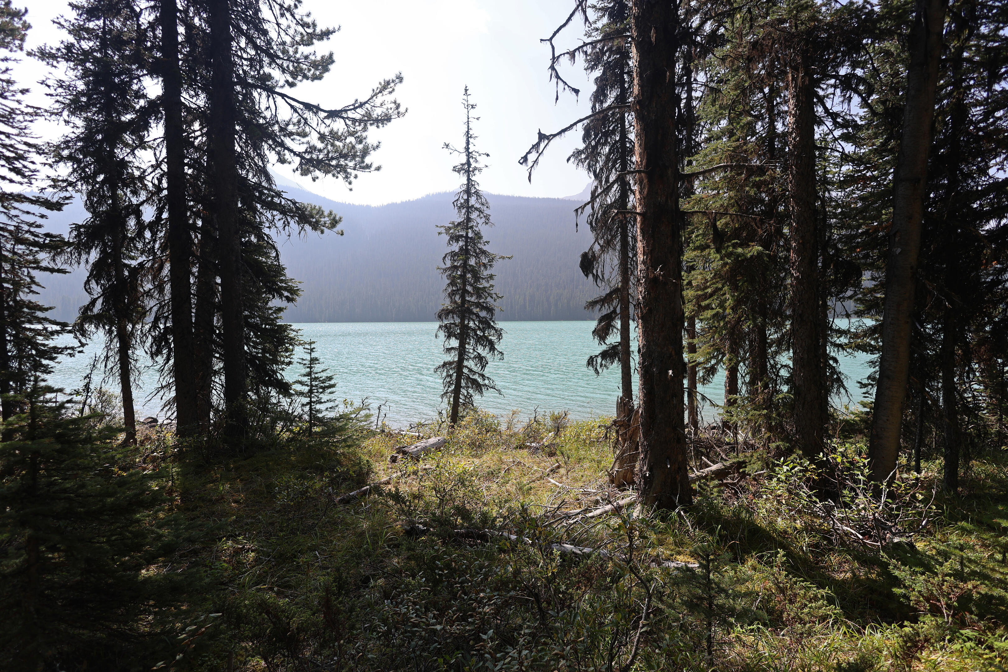
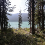
If you look at a map of the North Boundary, you’ll see Twintree Lake more easily than either of the handsome lakes on the Snake Indian River. Narrow but long, deep, and well-nestled in the mountains, it stimulates the imagination in ways that reality does not disappoint. Blue, lovely, a foreground for rugged and obscure peaks, great pyramids of loose rock, Twintree Lake is truly beautiful, and as you hike to and alongside it, you can sometimes even see enough of it through the trees to appreciate. Not often enough, for at the end of a long day of hiking the lake is a tease, tantalizing you with the possibility of grand views that don’t quite come for some time.
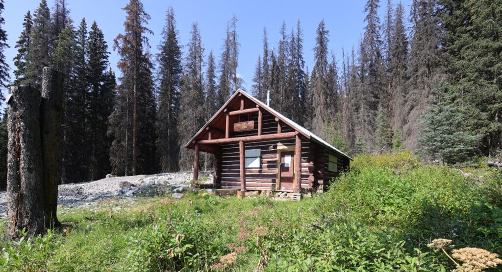
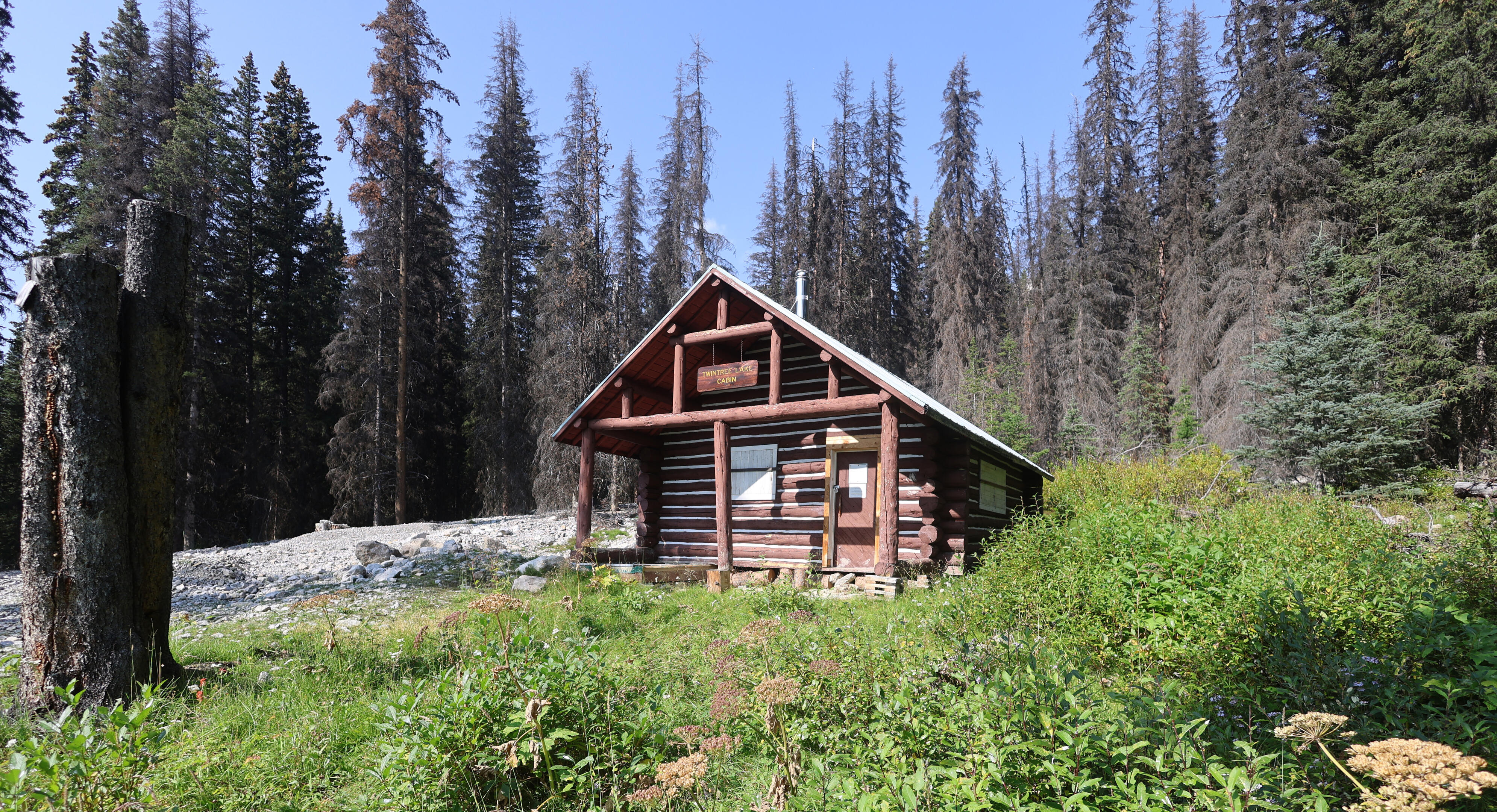
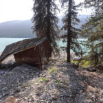
You get a very good taste near the end when you reach Twintree Lake warden cabin. The wardens were not immune from the 2021 floods: the waters that took out Berg Lake and some bridges also triggered a landslide above the cabin that knocked the structure off its foundations. Within weeks, Jasper National Park had a team digging out the 70-year-old cabin, scraping off a wall of mud, and pulling it onto, literally, a level footing. It was a formidable job, and no doubt very intense and not cheap, but any derisive comments about “well, the park looks after their own comfort at least” will be modified when you see the cabin for yourself.
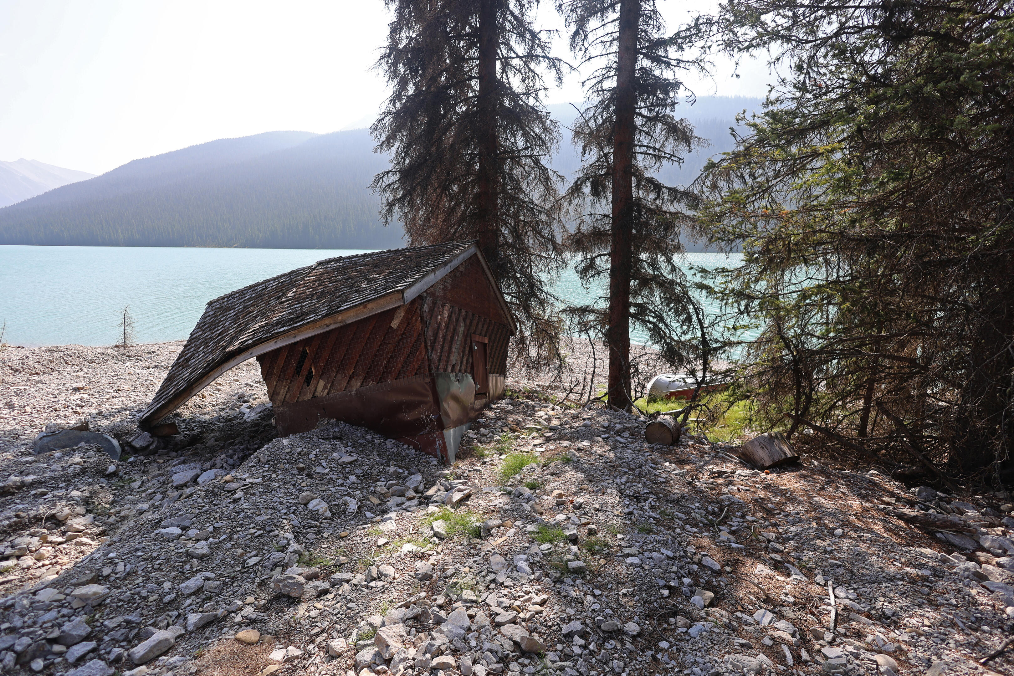
The views, thanks to the landslide, are grand. The lake is pristine, the look up the slide is awe-inspiring. It could be the poster child for “wardens get the best views.” But the nicest accommodations? Well. The cabin looks level now, roughly, but it is perched up on cut tree trunks in a singularly improvised manner. The cabin only has half its porch left, and for that matter half of its woodshed, which is worth a good deal less than fifty percent. They do have a boat, which was overturned on the shore, but the cabin itself appears more outstanding as a feat of ingenuity than anyplace you’d sleep soundly on a stormy night.
Then you go back into the forest, up a sloppy and somewhat irritating shoulder at this time of day, see the spur trail to Twintree camp, and follow it down into a bog. Camp is by no means obvious across the vast featureless plain, but stick closer to the lakeshore, look for ancient signs, and you should get there no problem. If you keep the shoreline close at hand and a keen eye out you’ll see the eating area in time, for taking confident strides across the bog until you get close enough is the only trick.
My friends, I know different people like different things when backcountry camping, but if ever you venture this way, take the time out of your schedule for a night at Twintree, for if it doesn’t have what you want, I don’t know what you’re doing out here.
Twintree Lake was named by John Yates on the 1910 expedition that’s as good a point as any to start the history of the North Boundary Trail. Two twin islands in the middle of the lake, at the time, had two twin trees, and Yates apparently did not fear the beauty in the obvious. At least one of the trees is now gone; the lone pine you see today is more likely a descendant of an original after 115 years. It raises the hopes that there is a sapling growing on the other of those seldom-visited islands, that Twintree Lake might boast of its twins again.
It has the conveniences: old-style bear pole, green throne hidden in the back (a bit hard to find with only a single piece of flagging tape to guide the way, but great when you get there), a big fire pit with a multiplicity of seating options for those who don’t pack chairs along, actual room for tents, and a wonderful site right at the outlet of Twintree Lake that not only provides fine, if silty, water, but some of the best views on the North Boundary Trail. Words cannot do it justice, it is a wonderful place, cheerful, convenient, and beautiful, showing different views in different light as the sun rises and sets over that fantastic lake, and far enough from the main trail that the only reason you’ll experience its splendour is if you stay the night. I arrived at five minutes to four, which beat my goal, and it didn’t feel nearly long enough.
It was so beautiful, so pleasant, so perfect. My long day had become one of the best parts of the trip, which was appropriate because the next morning was the closest I’d get to ending all trips forever.
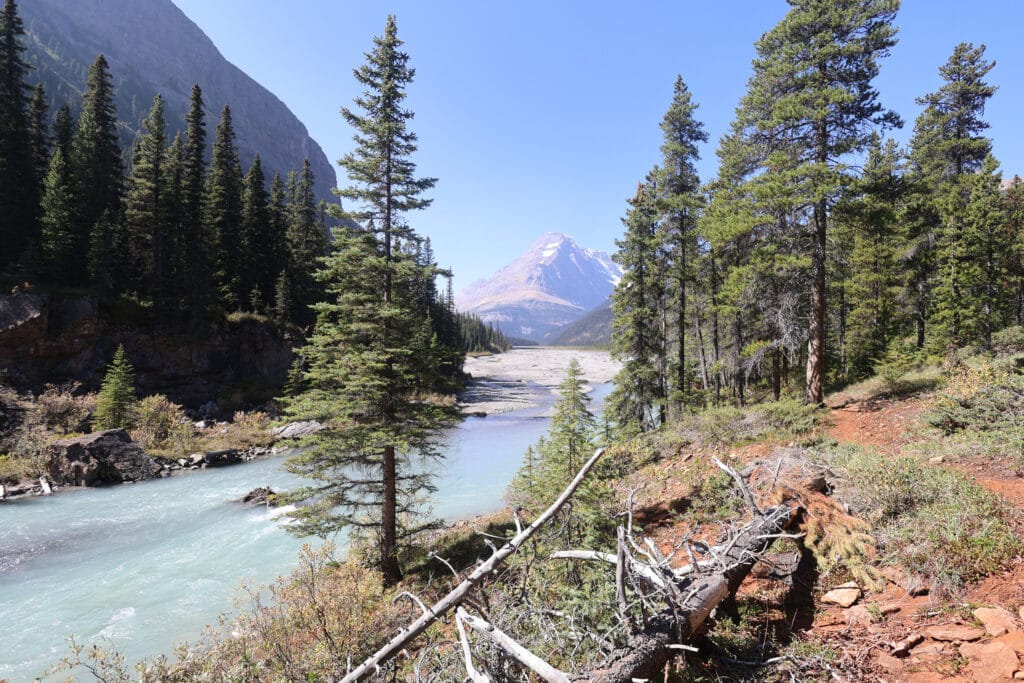
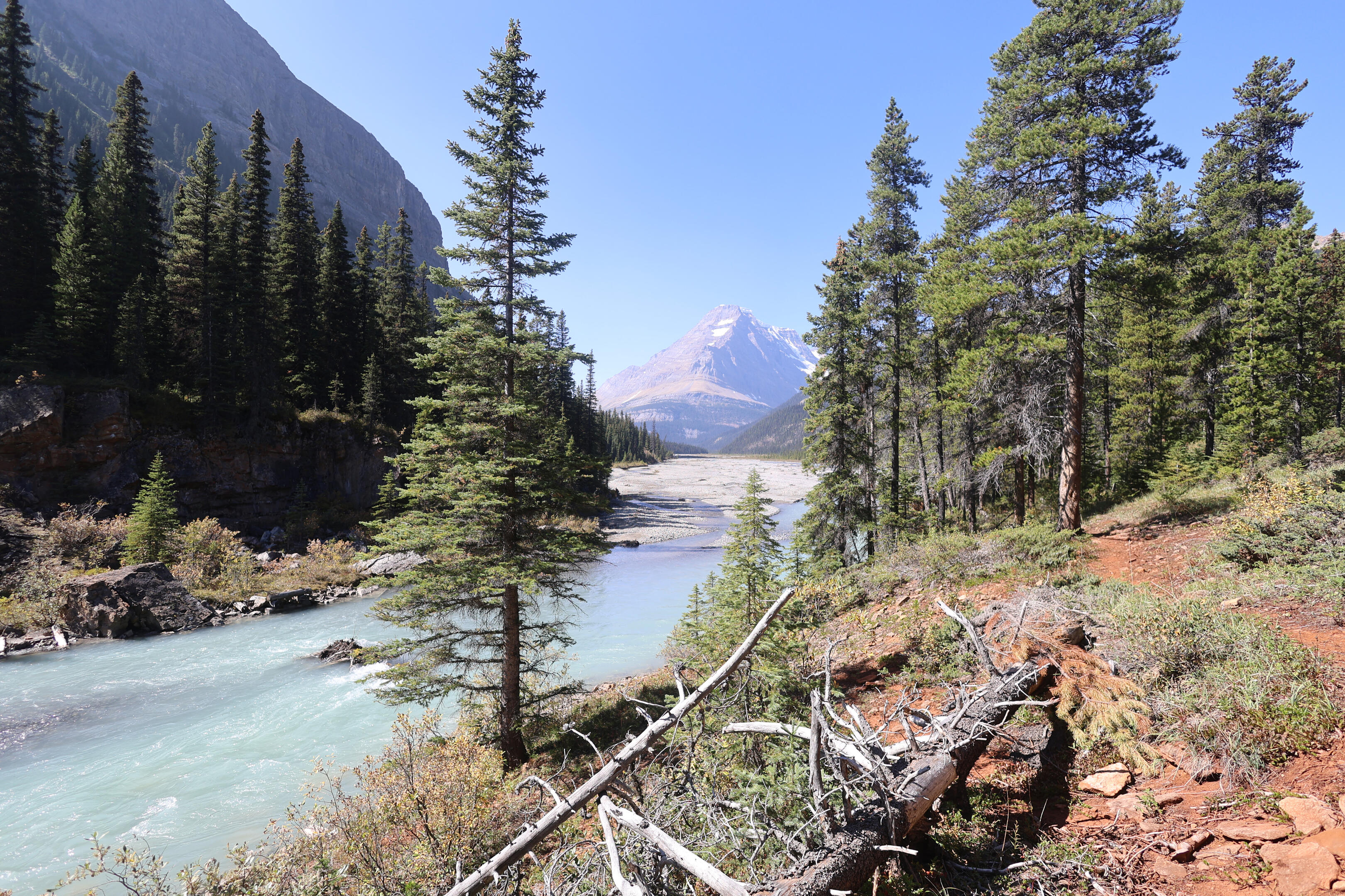
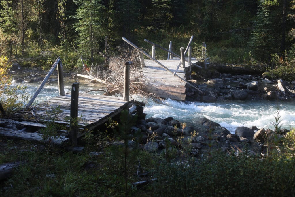


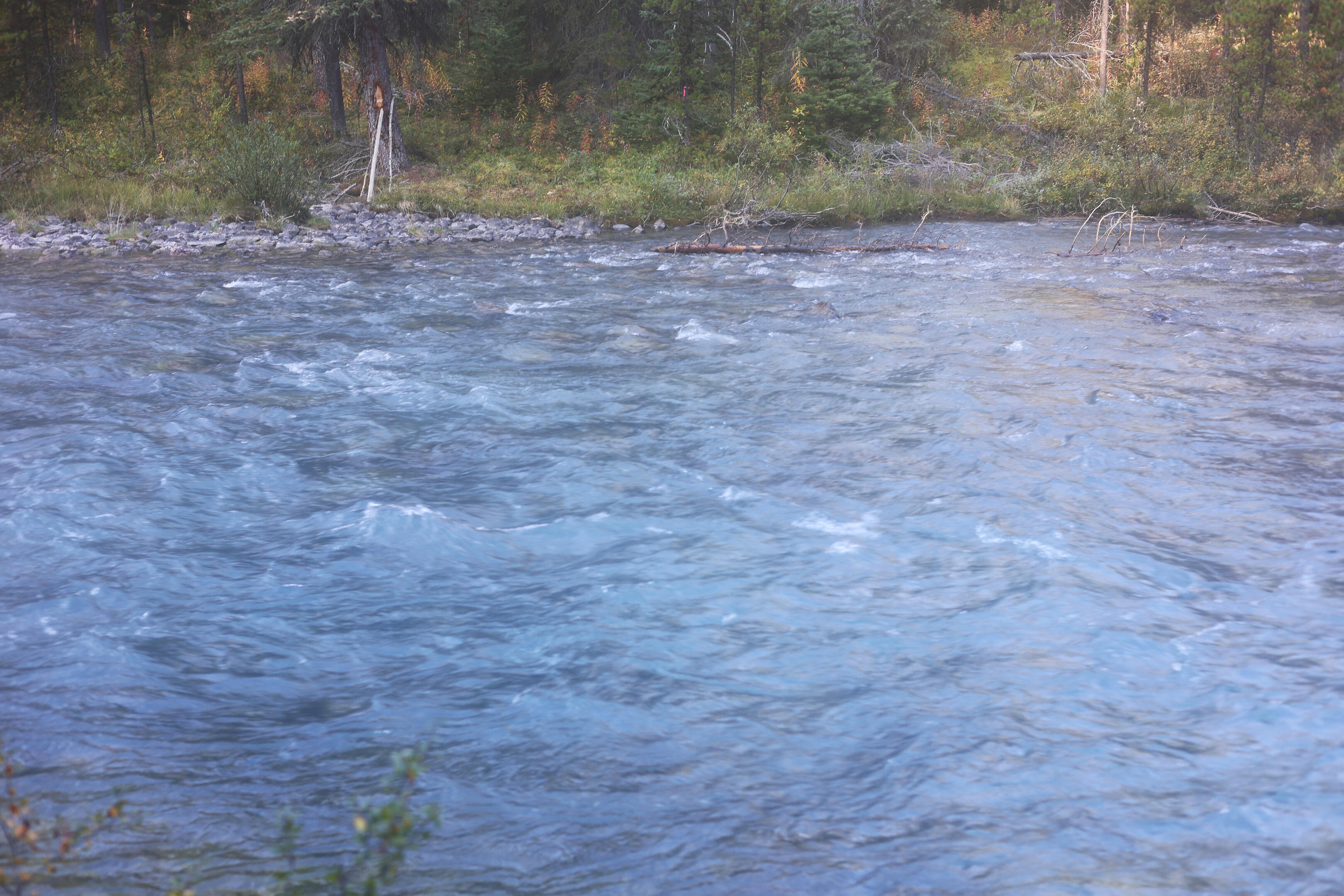

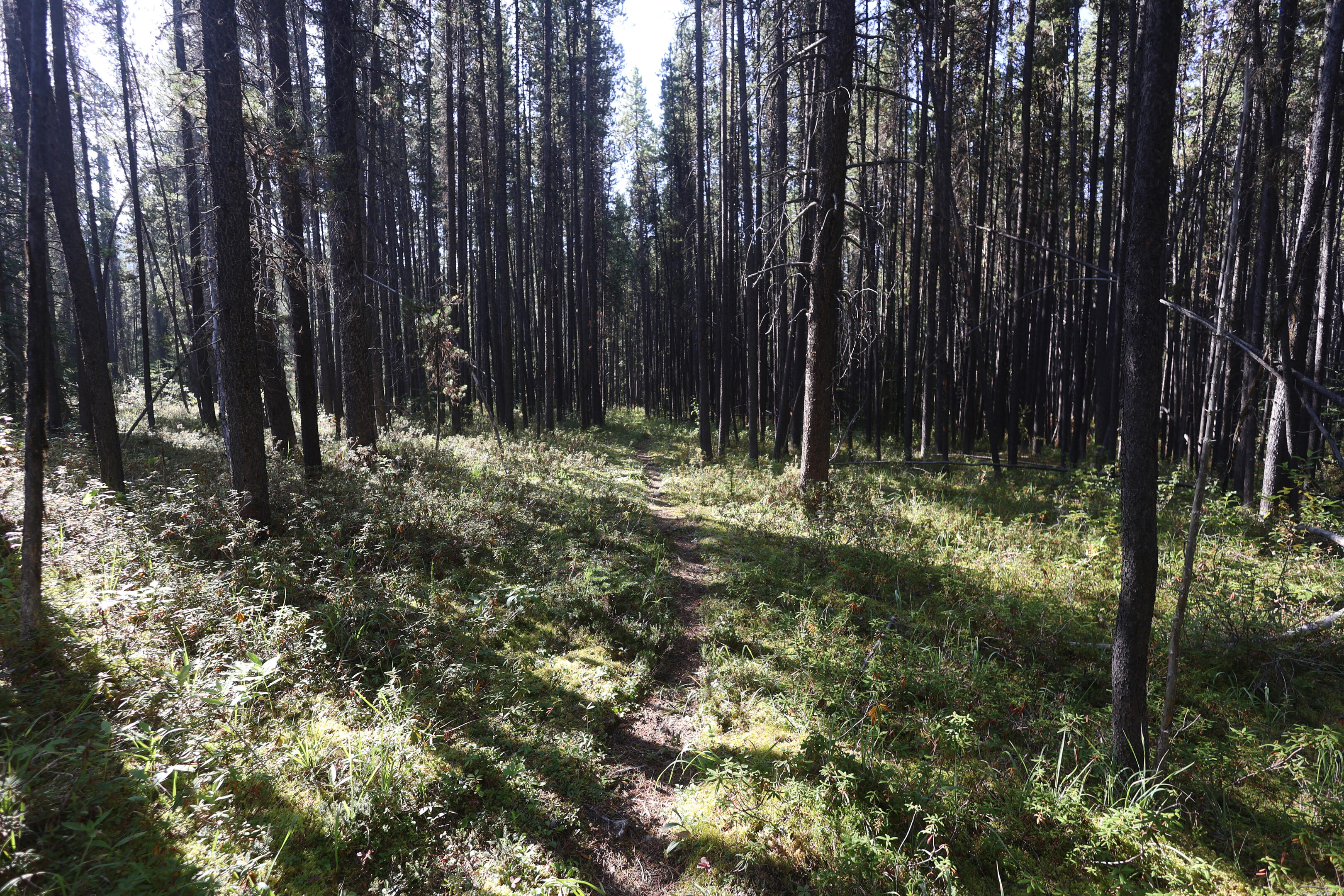
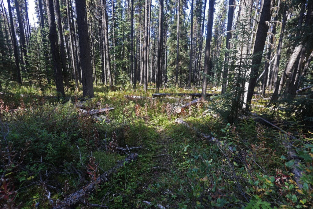
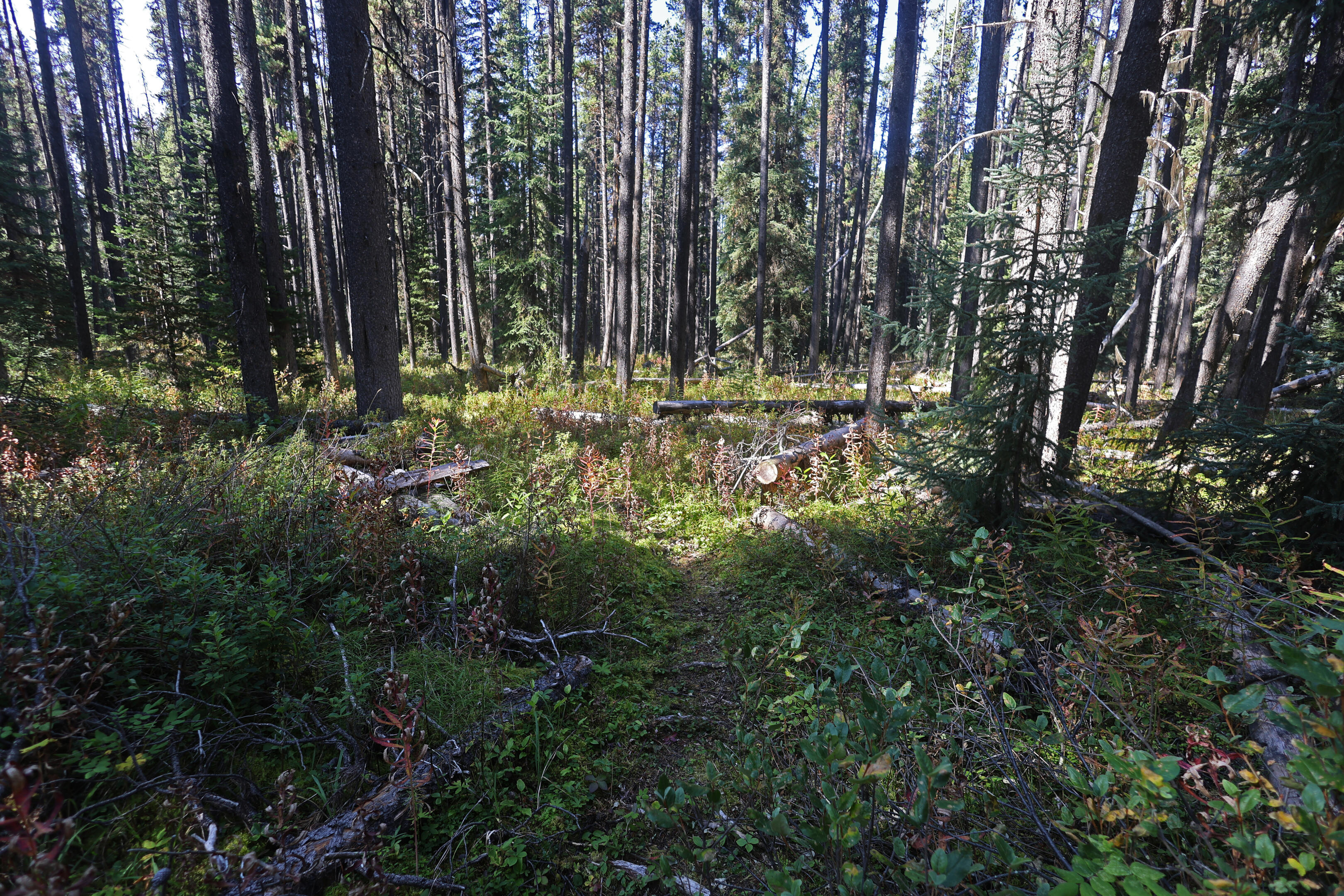
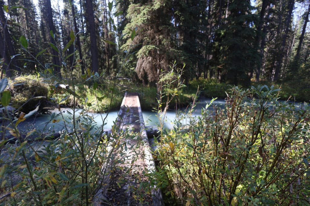
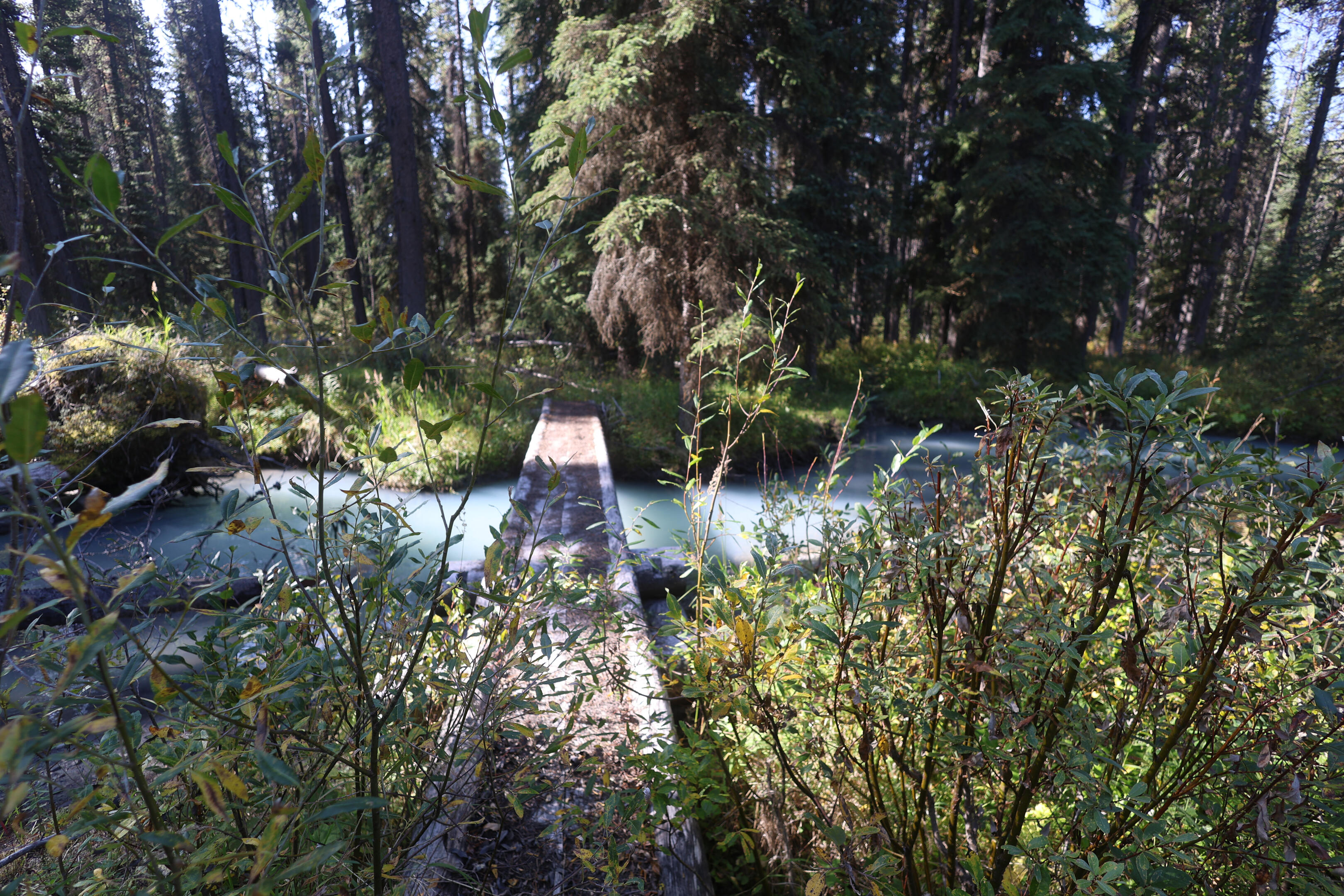

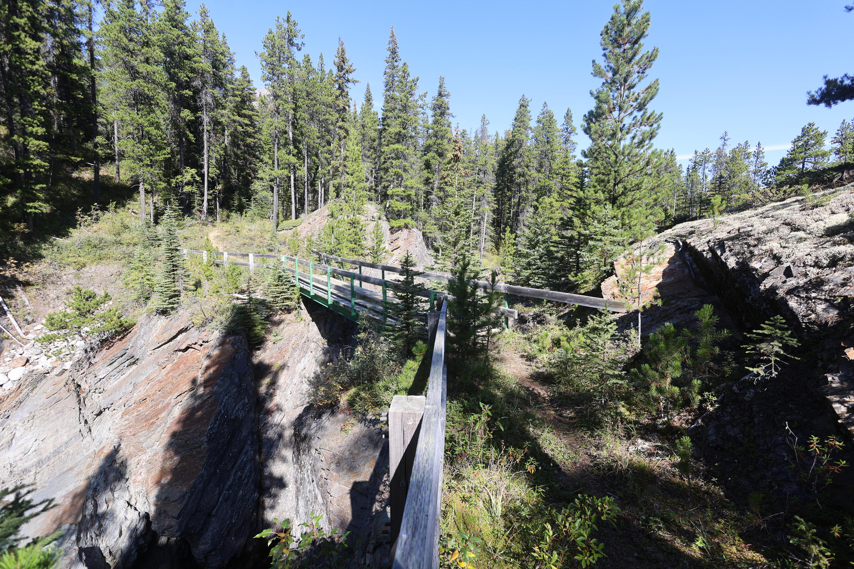
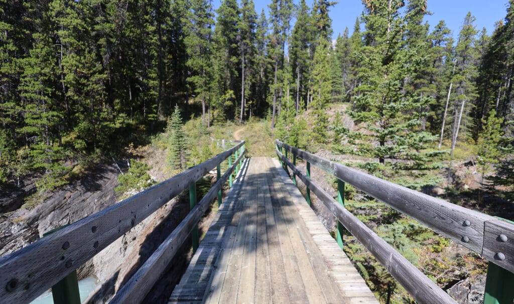

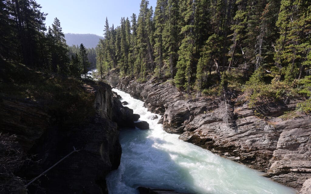
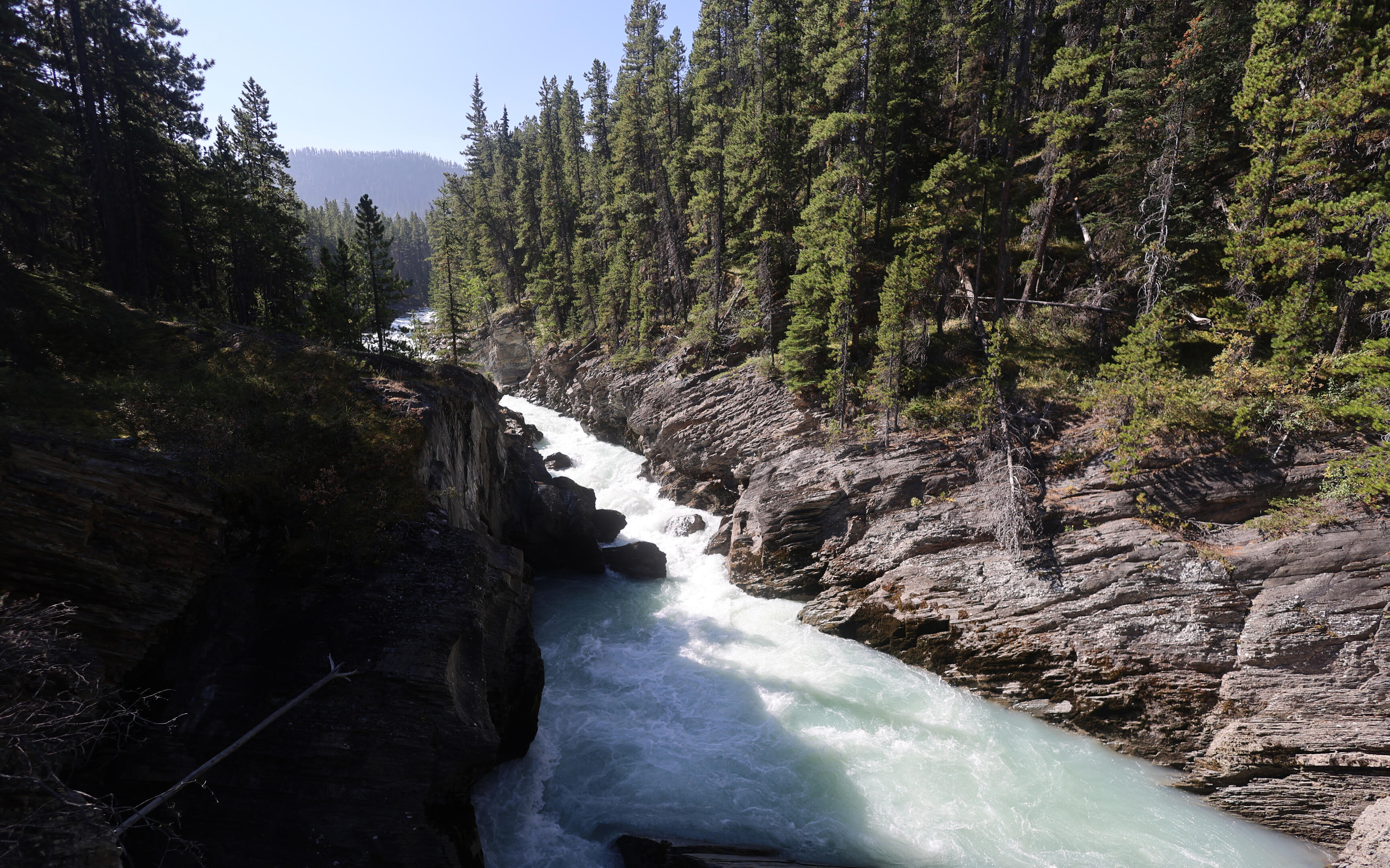
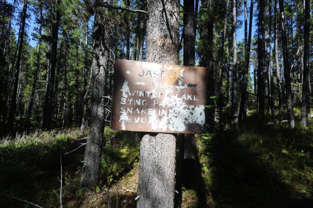

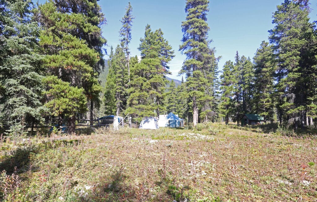

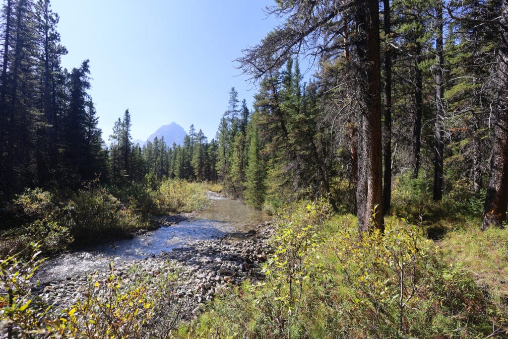

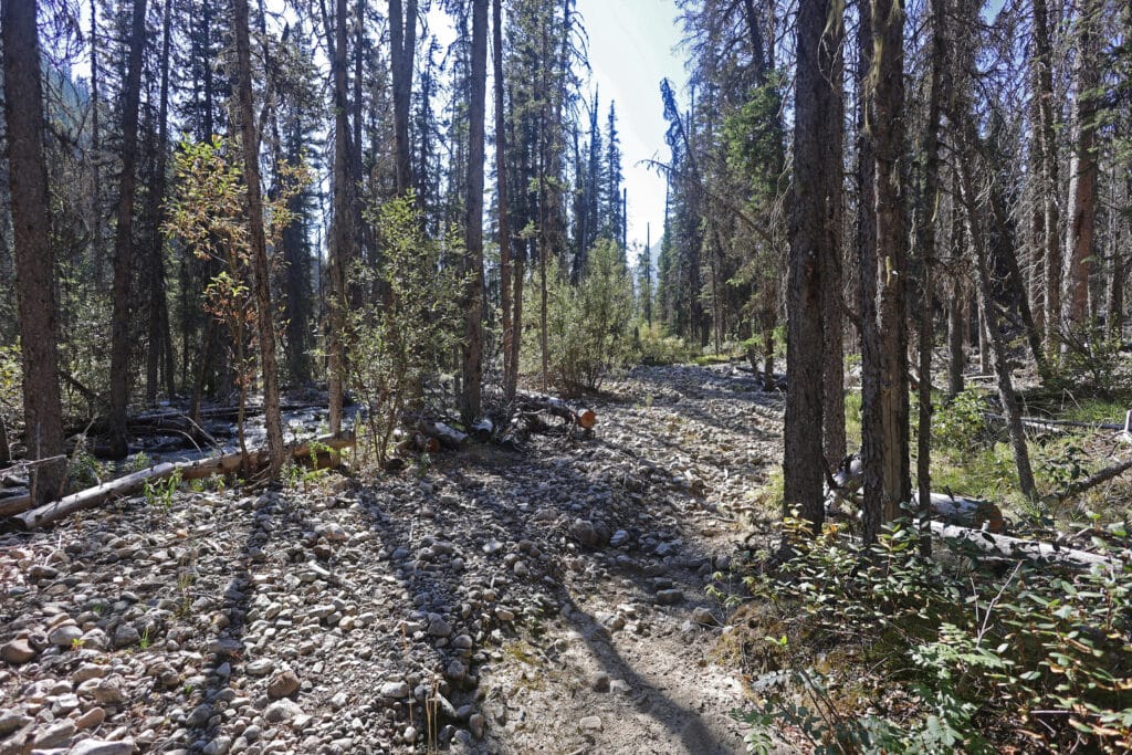
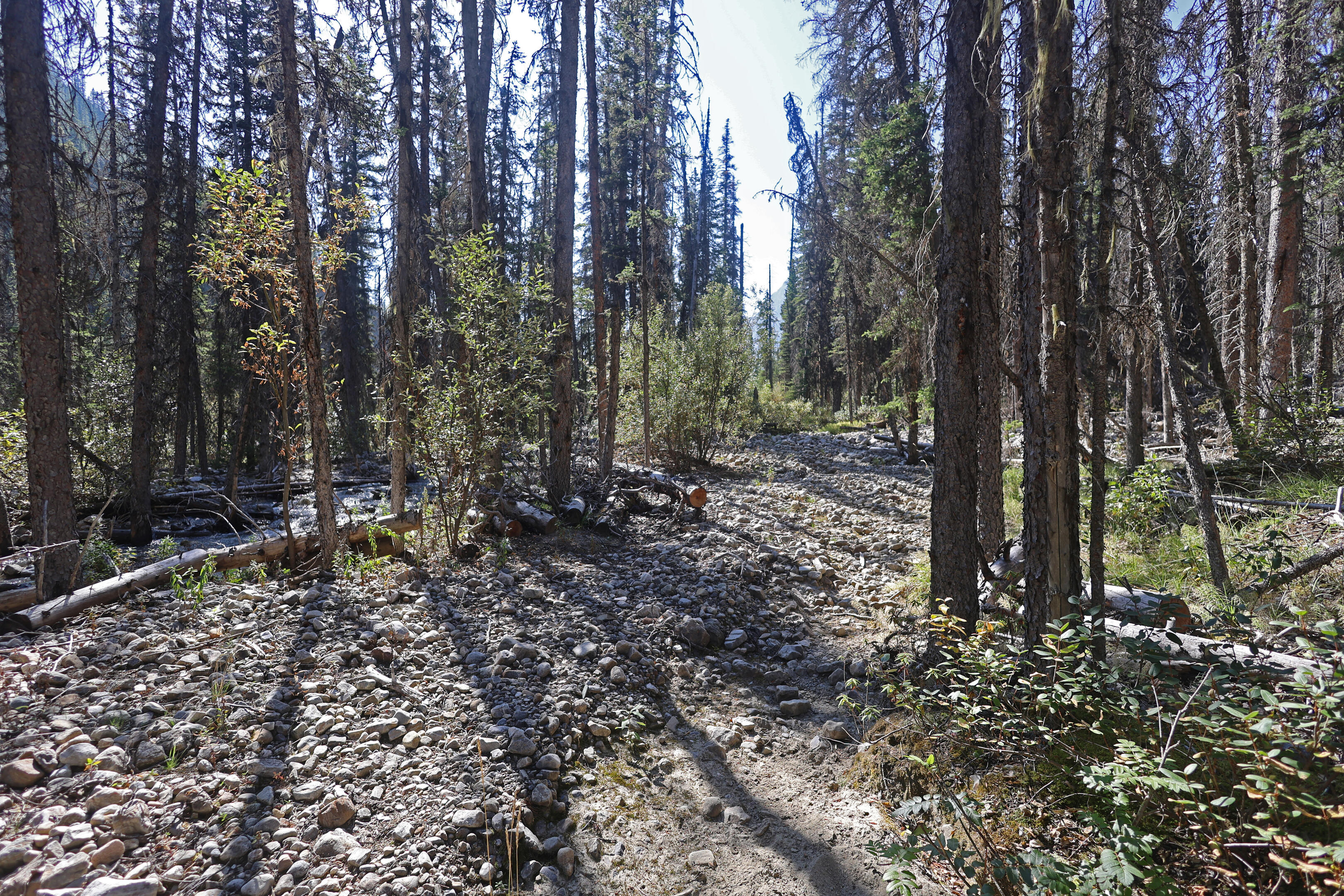
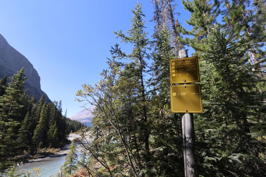
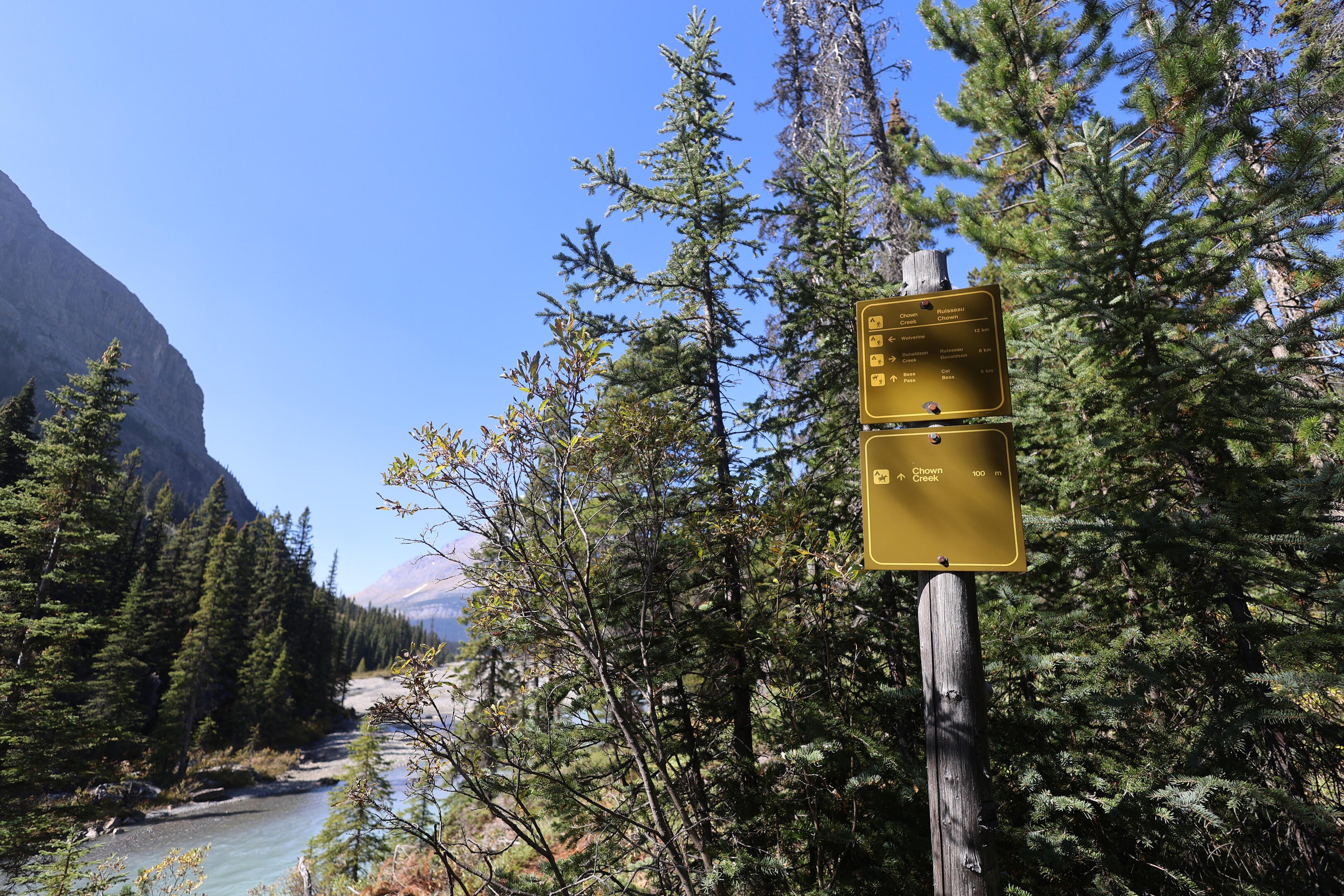
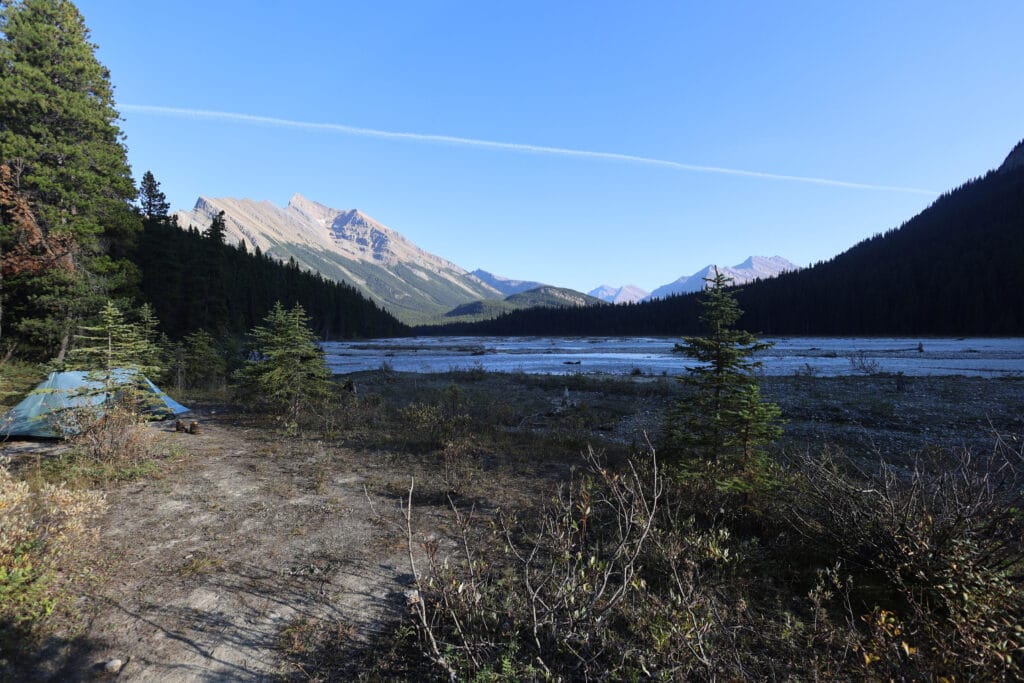
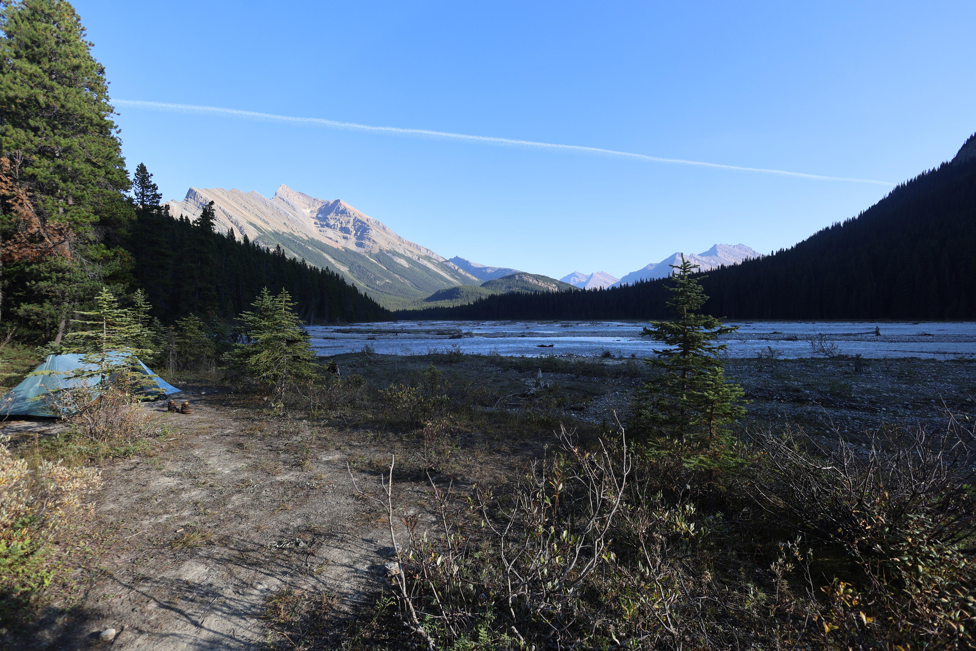
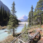
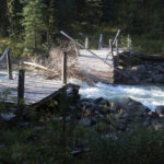
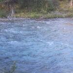
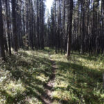
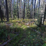
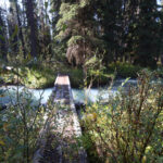
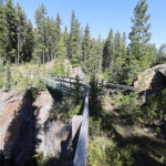
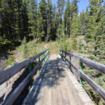
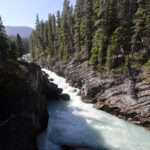
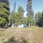
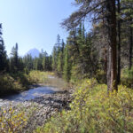
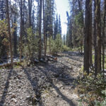
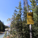
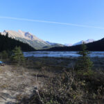
Twintree Creek. I’d worried about it for four years, since the bridge washed out but my desire to do the North Boundary was unimpeded. This morning, it would be put to bed.
There’s really no point in being dramatic, since you’re reading this and therefore know I got across safely. But it was the make-or-break moment of the hike, and I wasn’t so sure it wasn’t do-or-die. This was day seven; if the ford turned me back I’d have four days of food to do a hike that had taken me six. Okay, I could double up from Blue Creek to the trailhead and a day without hot meals wouldn’t kill me, but there was a serious psychological barrier. To come all this way and then do it all again because the ford was too dangerous… it would have been tough. Responsibility takes willpower; indeed, so anxious was I to get the ford done with that it needed moral effort to not skip water and breakfast in the morning.
At least with seven rainless days my weather could not have been better and I knew where to go. Re-crossing the bog and re-doing the spur trail back to the main North Boundary10, then following the trail beside Twintree Creek for about a mile and a half, which is not what anyone would call a long way but wears on the psyche as one walks alongside that roaring, deep waterway, waiting to cross it.
One arrives at the old bridge site. In another context, Jasper National Park’s top brass have refused the gift of a free bridge because it didn’t initially account for the cost of removing it after 50 years. At Twintree Creek, the bridge sits peacefully unremoved as the water gradually tears out the remains of the deck. Crossing here is strictly forbidden on pain of a fine of up to $25,000. This is the only former bridge in the park where Parks Canada has actually imposed a fine if you try to cross, but when you get there you’ll see their point.
The water at the bridge was completely un-tempting, but there happened to be a slender tree pinned to the remains of the old bridge that pretty much spanned the water. I looked at it thoughtfully, but it was thin and ended with awkward branches. Dangerous though the ford might be, it was going to be safer than that. So Parks Canada’s closure was respected. I waved at the wildlife camera pointed towards the old bridge11, just in case it was my last photo, and went on to the path that Parks Canada has cut out: looking inland from the bridge site, one sees an old “No Camping” sign in a tree, and from there a perfectly clear path of rough, new, but usable trail. Indistinct though the path is, blazes and flags guide you beyond any shadow of a doubt, leading inland before turning back to the shore and hitting the new horse ford.
It looked terrible, not least on account of the silt and the low morning light that made the bottom invisible and the depth impossible to gauge. My trekking poles demonstrated that the first step anyway was not too bad, and trail on the other end was obviously blazed. Although almost certainly deep and quite swift, there was a little sandbar that was just awash about four-fifths of the way across; if I could strike that it would be smooth sailing.
I brought along my GoPro and a head mount just to record this crossing. Being a GoPro, it crashed before the ford got good, and while I realized this on the other end I had no desire to cross it twice more just to get some #content. So you can see what I saw when I stepped in, if not much further.
The first steps were fine; the second were the worst. There are tougher fords in the Canadian Rockies, including several on the Great Divide Trail. Hip- or chest-deep crossings that are at least slow-moving are not that uncommon, but you don’t find such things a week into an official, maintained Parks Canada trail. Right away the water was swirling around the middle of my thighs and getting deeper. I had my footing but the bar seemed an awfully long way off, and if it got deeper there might have been trouble, but I looked straight down through the silt and spotted a raised ridge of rocks, almost underfoot. I sloshed towards it, and the added height made all the difference: once I got up, the water was below my knee. The ford was saved, and the ridge held out until the properly shallow water near the far bank.
Such ridges can be swept away in winter storms or early summer run-off, but it was there then. Having made it, I decided that I wouldn’t care to do it again. The conditions had been perfect and the ford still felt dangerous to ordinary hikers seeing something like that once every few years, if ever. A typical Canadian Rockies September storm would have made it deeper, swifter, and maybe impossible, and that little rock shelf had been an unexpected reprieve.
I cheered, prayed, verified that my GoPro had not captured the whole ford, and decided that posterity was going to have to live with that. Which I did regret when I got home, as while Twintree Creek was the toughest ford I’d done, tougher fords exist and it would have been good for my confidence to take an extra couple runs at it. One of the troublesome things about difficult fords is how few opportunities a city-slicker who seriously backpacks once or twice a year gets to practice them.
At the time, of course, my thoughts were on having passed the one moment on the North Boundary Trail that had inspired any sort of fear. So I went on hiking, relieved and wet. The new trail on the west side of Twintree Creek goes straight uphill, but at least it’s fair: you keep the elevation you gain. On that side, the trail to the ford is well before the bridge, so if you approach Twintree Creek from the direction of Chown Creek, keep your eyes open. The entrance was marked with a yellow square and a piece of flagging, but the path is a lot less obvious than the old one down to the bridge and you’d hate to miss it.
The definition of anticlimax is continuing the hike after the Twintree ford. Right away, you enter a not-very-interesting and reasonably rigorous section of trail with nothing to look at. The Canadian Rockies Trail Guide calls Twintree to Donaldson Creek, even in the days when there was a bridge, the toughest section of the North Boundary Trail, and I’m not sure I’d agree but it makes you work without a payoff. You climb up a shoulder of Twintree Mountain informally called Vimy Ridge (although Byng campground and Byng Pass are well behind you; let’s see some consistency, people), through the woods with nothing to look at, then plunging down switchbacks. There is nothing to do at all but hike the thing out.
One starts to see more old construction. There was an old two-board hiker bridge that I actually missed until I had already forded the mudpit it spanned, it was well off to the side and while intact must be little-used. The next such bridge I did see in time, but it was so far from the trail and the ford so simple that I didn’t bother. Others were more useful, and a handful of the old boardwalks are positively pleasant. This was when I realized Jasper National Park was deliberately skidding fallen trees on top of boardwalks that are presumably no longer safe for horses. This keeps the horses off, but since the boardwalks are perfectly safe for hikers and the trees usually make them nearly impassible on foot, it is infuriating.
Donaldson Creek was another obvious campsite for me to skip, less because it was horrible than because the distance between Twintree and Chown Creek makes for a natural single day and Donaldson was just redundant. I would have regretted that if Donaldson Creek looked amazing, but it didn’t. Not great, not terrible, probably better than Byng, a little more open and cheerful, but still utilitarian and compact and inessential. The worst part was the water source, Donaldson Creek itself, which looks for all the world like skim milk. Not sure what’s going on there, but I was very grateful that first, I wasn’t counting on it for water12, and second, there was still a bridge over it. Not that a ford would have been impossible but who likes wading through weird deep milk?
This is the most remote stretch of the North Boundary Trail. Informal routes exist for off-trail adventurers, but have never been any real side trails between Blue Creek, where the Ancient Wall trail breaks off, until the Short River trail most of the way to Chown Creek, and for any real use you have to reach Chown Creek itself to meet the Great Divide Trail. Oddly, there are more vestiges of history here than elsewhere. A big old sign surely from the early twentieth century, near the Short River turnoff13, pointing the way east to Jasper via Byng Pass and Celestine Lake. More boardwalks. And while you could only marginally call it history, as it was built in 1998, there is above all the bridge over the Smoky River.
The bad news is that if that bridge goes, I have no idea what anybody is going to do. The good news is that bridge is approaching its thirtieth birthday and should last a while yet, because it is the most beautiful, most solid single structure in the North Boundary country, including the warden cabins. It is a beautiful, high, metal-framed bridge, well above a narrow gorge in the Smoky, with a broad wood deck for hikers and horses. Pristine despite its age, it is immune to floods and close-to-immune to trees, approached by a winding course rising over rock. The view of the Smoky River from the bridge is astonishing, and it feels so solid that my fear of heights was quite absent. We go to these wild places to experience nature, not artifice, but a bit of artifice here and there can feel very good, and that bridge does.
From there it was a perfectly reasonable trail to the Lower Smoky warden cabin, marred only by the September sun being right in my face as I made the turn south and the trees started to open up. That cabin is another good one, after the mediocrities of Three Slides and Byng, but I did not feel like looking around, for to my surprise there was a large Parks Canada party camped out front in a great variety of big heavy tents that looked as out-of-place in that distant area as a pub would have. Not that it was much less welcoming than a good pub, for the leader of the party and the young folks working with him came out to chat and see the rare sight of a hiker going by. They were on a cabin maintenance trip, presumably supplied by helicopter to go by the weight of their gear and the lack of horses, and it was fun to see them. They even invited me in for a snack, but alas, some of the workers were very pleasant young women and I had been wearing the same clothes without bathing for a week. Pride obliged me to decline the gracious invitation to sit in a confined area and stink those ladies out. Then, distracted by the company and a slightly deceptive hiker sign, I went the wrong way for a bit until they corrected me, so it was obviously for the best to avoid further embarrassment.
If one manages to avoid the reeking hikers, summer jobs probably don’t get a lot better.
Shortly after the cabin comes another hiker-horse divide. Since the horse trails had treated me well the day before I started down that way, but the flowing waters of whatever creek that is looked too obscure for comfort, so I turned back and took the hiker trail. Which had plenty of horse sign on it, so clearly Jasper National Park’s crew had a similar thought. The hiker trail was very good, with a big old rockslide that might have been puzzling if not for one cairn and a clear beaten track that took me slightly downhill and had me hit the trail on the other side without even the ghost of a problem.
The sun started to get to me and I slowed down the rest of the way, walking to Chown Creek without much energy but also without difficulty. Emerging from the woods, one at once sees the entire Chown Creek ecosystem spread out before him: the measurelessly silty water, the many braids both to the left and the right, and the old bridge site, long gone now of course. The hiker camp is to the left, the horse camp (and the trail to Bess Pass) to the right. My understanding was that the best ford was through the horse camp but there was no real need to check it out in the afternoon, although Chown Creek obviously had a lot of water in it there was so much braiding that I didn’t anticipate any issue if I showed patience, so I went straight down to the hiker camp, descending to creek level on red soil, and hitting, for the second day in a row, an immediate candidate for the most beautiful backcountry site in Jasper National Park.
It’s not perfect. Chown Creek is an obvious wildlife highway, there is a pole-and-a-hole privy up a hill and a bit obnoxious to reach, the tent sites are on hard flats so close to the creek that in truly abominable weather I’d think about flooding and move to the horse camp, and on a sunny day there is very little shade until evening when the sun dips behind the mountains. On the other hand, it has everything you need, and for 180 degrees the views from your tent are the best anywhere. Across from camp is the sun-blotting spire of Mount Jessie, not tall but so forbidding on this side that the best guess is it wasn’t climbed until the 1980s. Look right for the serrated ridge of Mount Bess obliterating the horizon in the distance, over ten thousand feet, and a whole chain down to the Calumet Ridge when you look left. The creek itself is a gorgeous combination of power and placidity thanks to the vast flats that braid it out. It’s incredible.
I arrived before two and, with my rejected invitation from pretty girls behind me and a lovely creek in front, decided it was time to wash up. This is a chilly but ultimately pleasant experience if you have a campsite to yourself, good water to dip in, and sun to bake dry in, so I stripped from the waist down and waded into the creek, getting water through certain sweaty regions, washing my underwear and socks, and generally looking after the most undignified but profitable camp chores. Still half-nude I waded out, arranged for my clothes to dry by the fire pit, then turned around to see three people heading right towards me, fording Chown Creek on the hiker side14.
Well. They were paying attention to their crossing and hopefully not my bits, but you better believe that wet though I was I got my pants on in a hurry.
Unfortunately I couldn’t guide them through the ford since I hadn’t taken it and the deep channels were out of sight, but they played a conservative game and figured things out on their own. There is no marked trail crossing at the hiker camp, but the ford is manageable enough and if you know where to reach the trail (straight across from the eating area, upstream of and quite near the cliff, where it’s closest to the shore) it’s a good shortcut in friendly conditions. They made it pretty well in late afternoon, and I made it even better the next morning, though I wound up needing guidance to find the trail entrance.
I had expected them to be on the Great Divide Trail, but in fact they were fellow North Boundary hikers who had started at Berg Lake, so when we started talking we were able to give each other mutual reassurances. Since I had seen Chown for myself they told me about Carcajou and Gendarme, the next two fords on the trail, which they described as taking some thought but obviously doable, and I told them about Twintree, including that little ridge which would hopefully be a lot easier to see from their side.
They were great people to talk to, and it is without meaning any slight on them that I was struck by how inexperienced a party it was. For one of them, it was his first backcountry backpack ever, and another hadn’t been out for a number of years. They had made it that far, would probably complete the trail15, demonstrated patience and intelligence before my eyes as they crossed Chown, and conducted themselves with competence and respect; the only thing they were worried about was whether they were strong enough to carry heavy loads which they had already hauled up stiffer climbs by Mount Robson than all the rest of the North Boundary combined. They were going to be fine.
What was striking is that such relative novices would be tempted to try the North Boundary at all. But why should I have been surprised? It’s on the trail map, and the boilerplate about bridges being out and campsite facilities missing beg hikers to underestimate how different the North Boundary can be. The park rates most of it double-black diamond, but they grade by frontcountry standards: both Skyline and Fiddle River are black diamond, and you could absolutely introduce yourself to backpacking there. There’s not much to scare a rookie off, unless one is frightened of telephoning for your booking16: all the distances are reasonable and the hazards are described in a pro-forma fashion that doesn’t make them sound too bad.
Again, nothing against those three, who I bet were fine. Bright, strong guys with patience and long attention spans. But when we talk about what Jasper should do with the North Boundary Trail, they have to remember that while the trail shows up on the map, people who may not fully realize what they are getting into are going to think about it. They see that the more appropriate trails like the Tonquin Valley or Skyline are full, so they hike the North Boundary. It is a sure recipe for trouble. In the 1990s, a woman died on the North Boundary Trail when she was swept off the Twintree Creek bridge17; what could happen now that there is no bridge at all, if someone less wise than those three picks the North Boundary as their plan “B”?
These were not the sorts of questions I could put in camp without raising unwarranted fears. They’d passed four-fifths of the rough stuff, Twintree Creek was the toughest thing they had left, and I told them about that, but beyond it they’d be fine with their already-demonstrated patience and it would have been absurd for me to imply they might have more trouble ahead than they did. As we shot the breeze and smoked by the campfire, a grizzly bear frolicked out from near the privy and scampered across the creek, probably searching for fish. He saw us and we saw him, he was at a safe distance, it was a grand sight, humans and grizzly undisturbed by each other, perfectly content with the bounty of Chown Creek on the one hand and the bounty of freeze-dried hiker meals on the other. It was as placid and pleasant a grizzly encounter as you could ask for, and the ideal coda to a thoroughly interesting day.
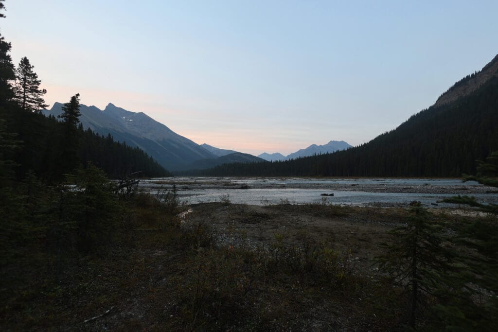
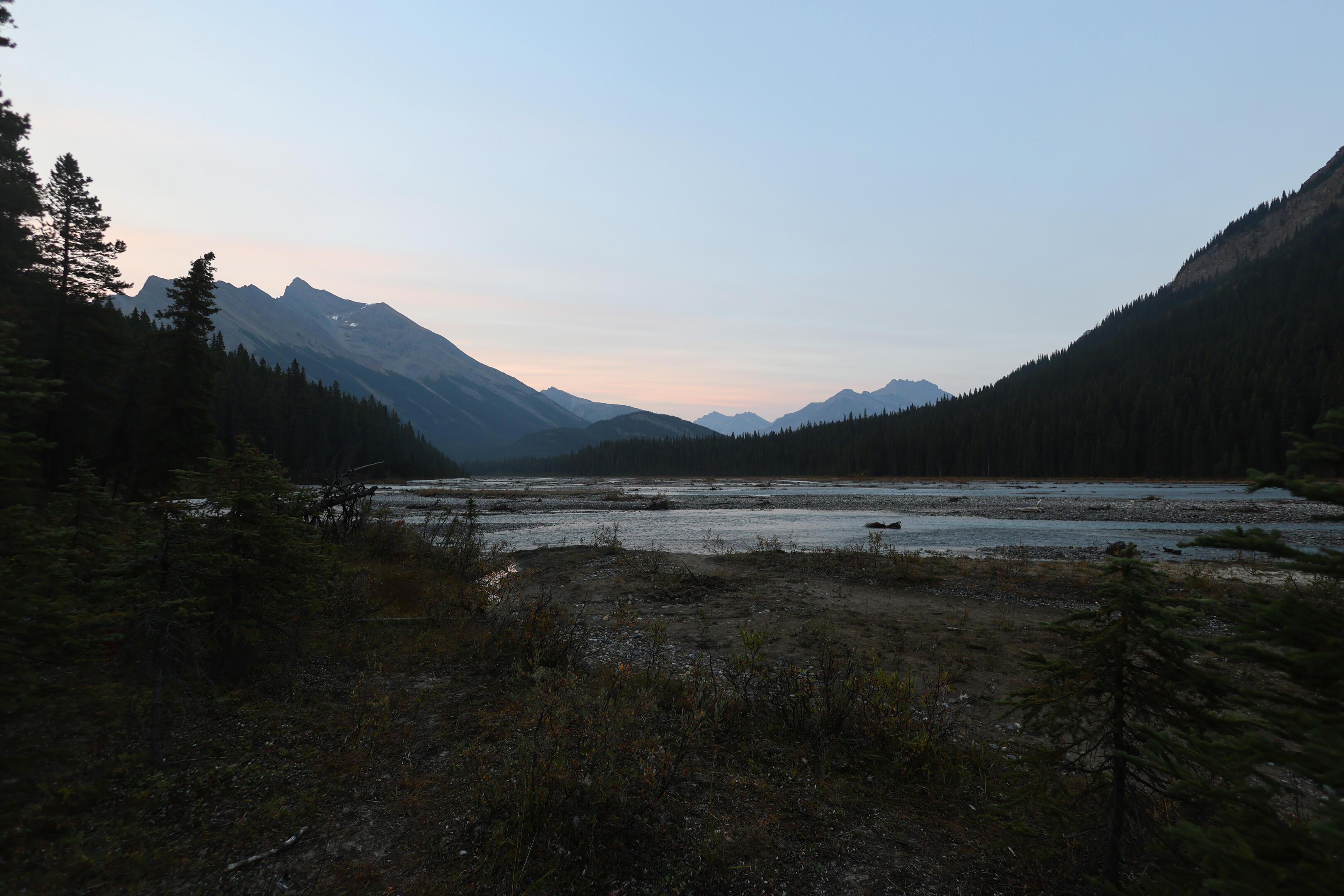

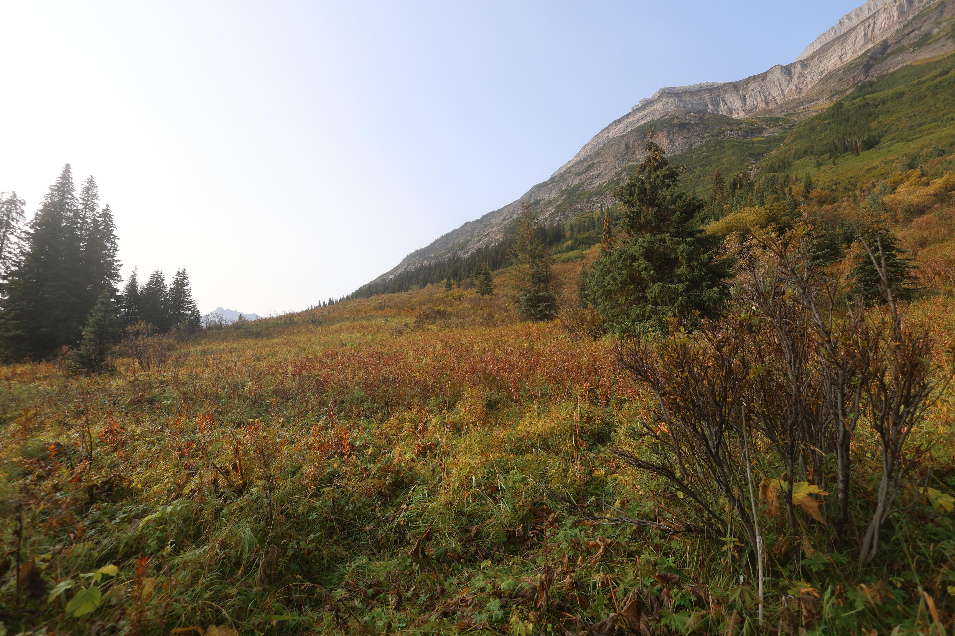

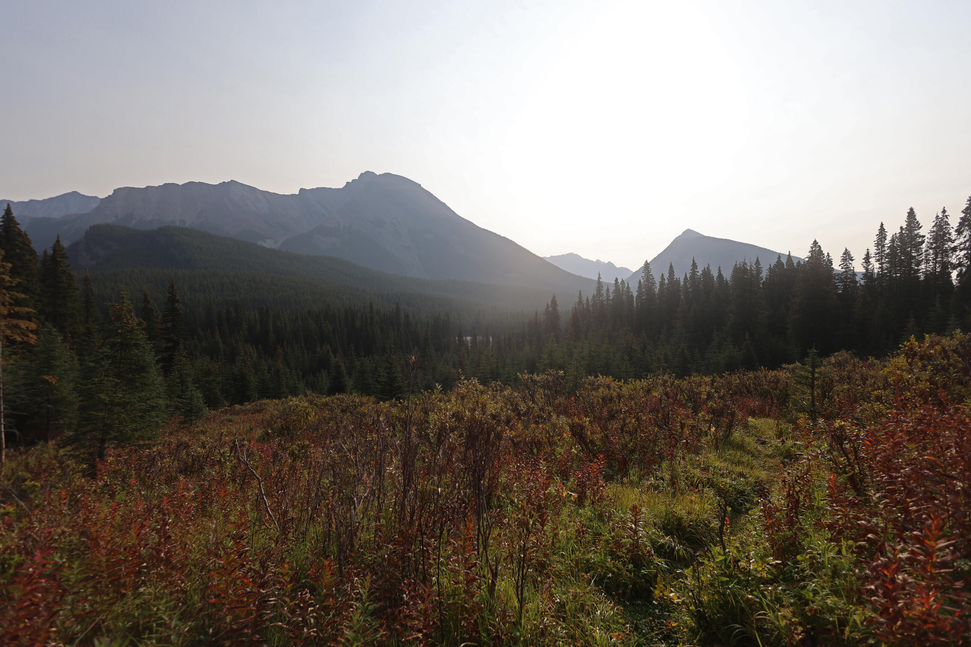
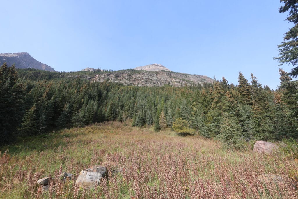
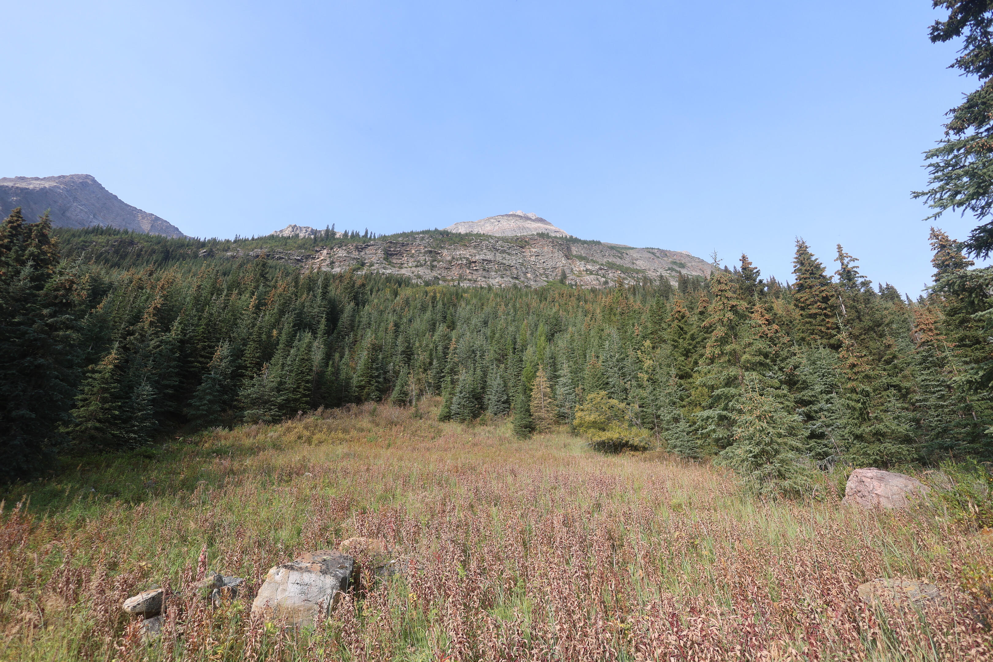

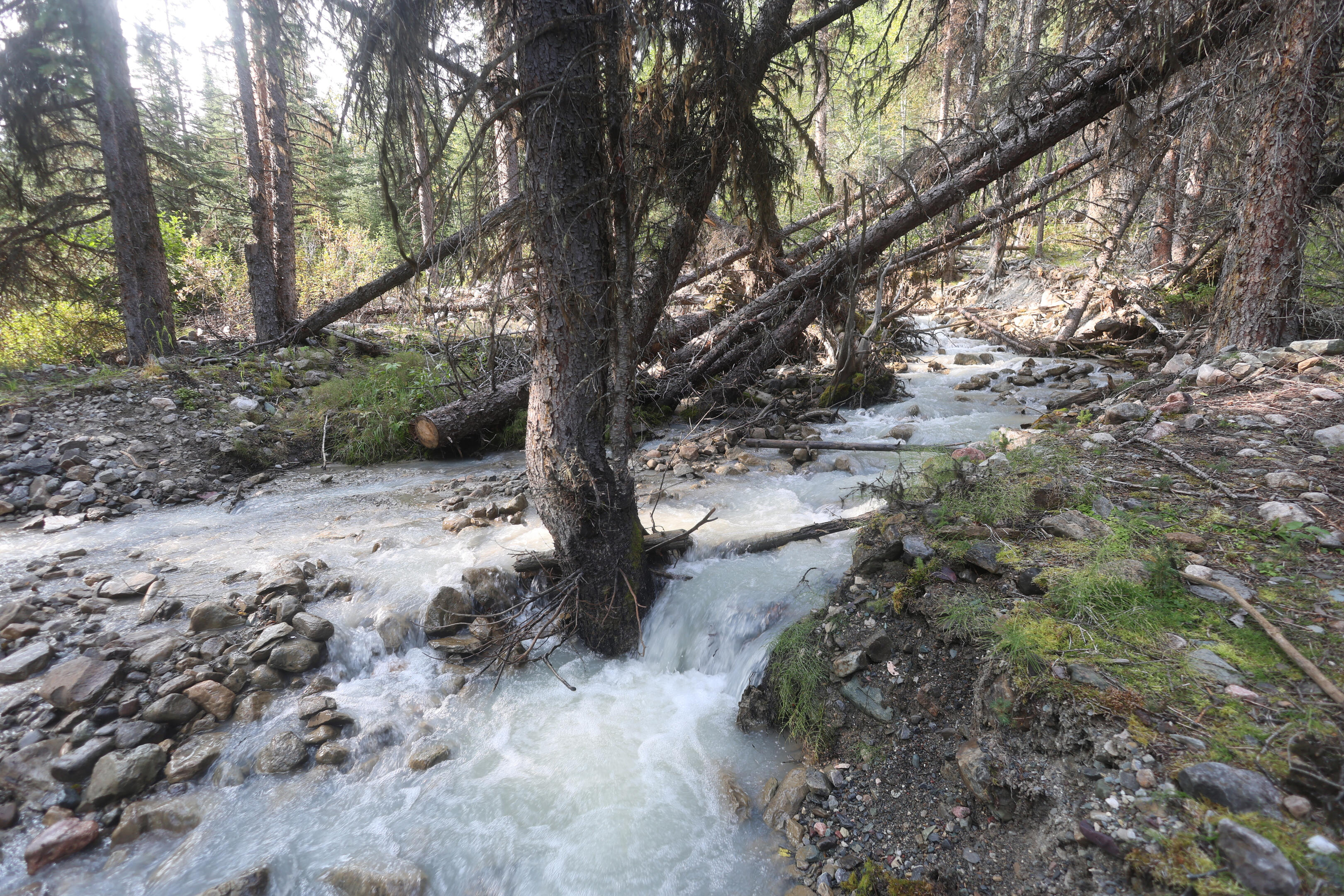
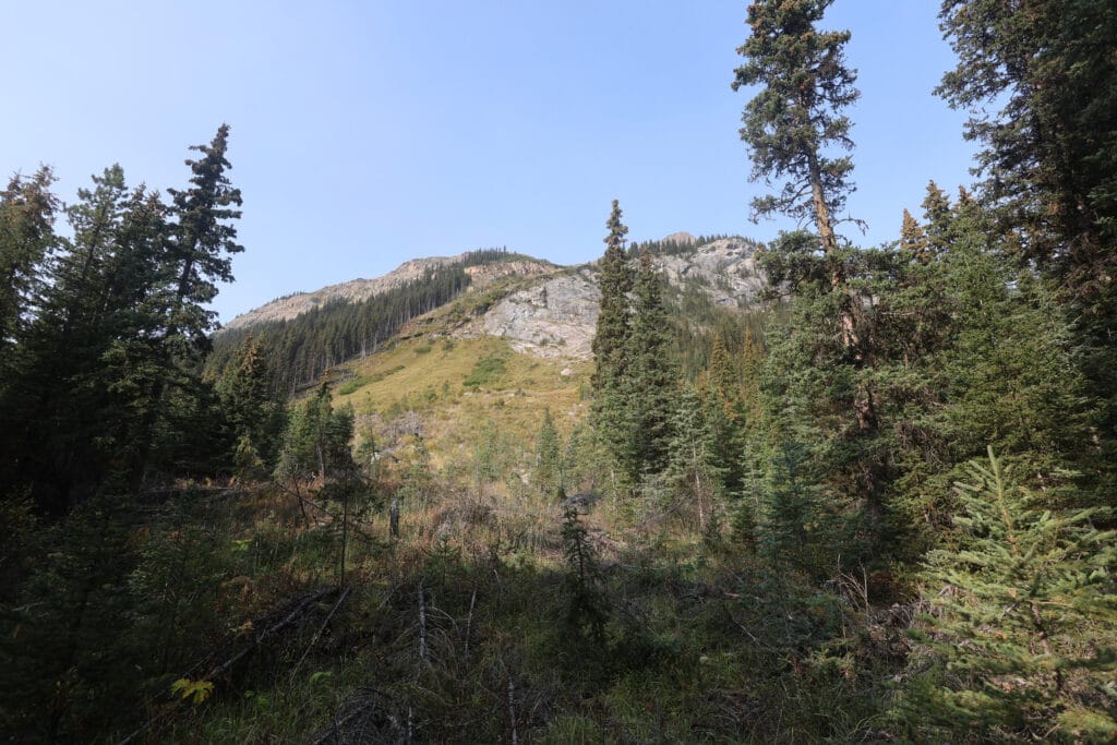
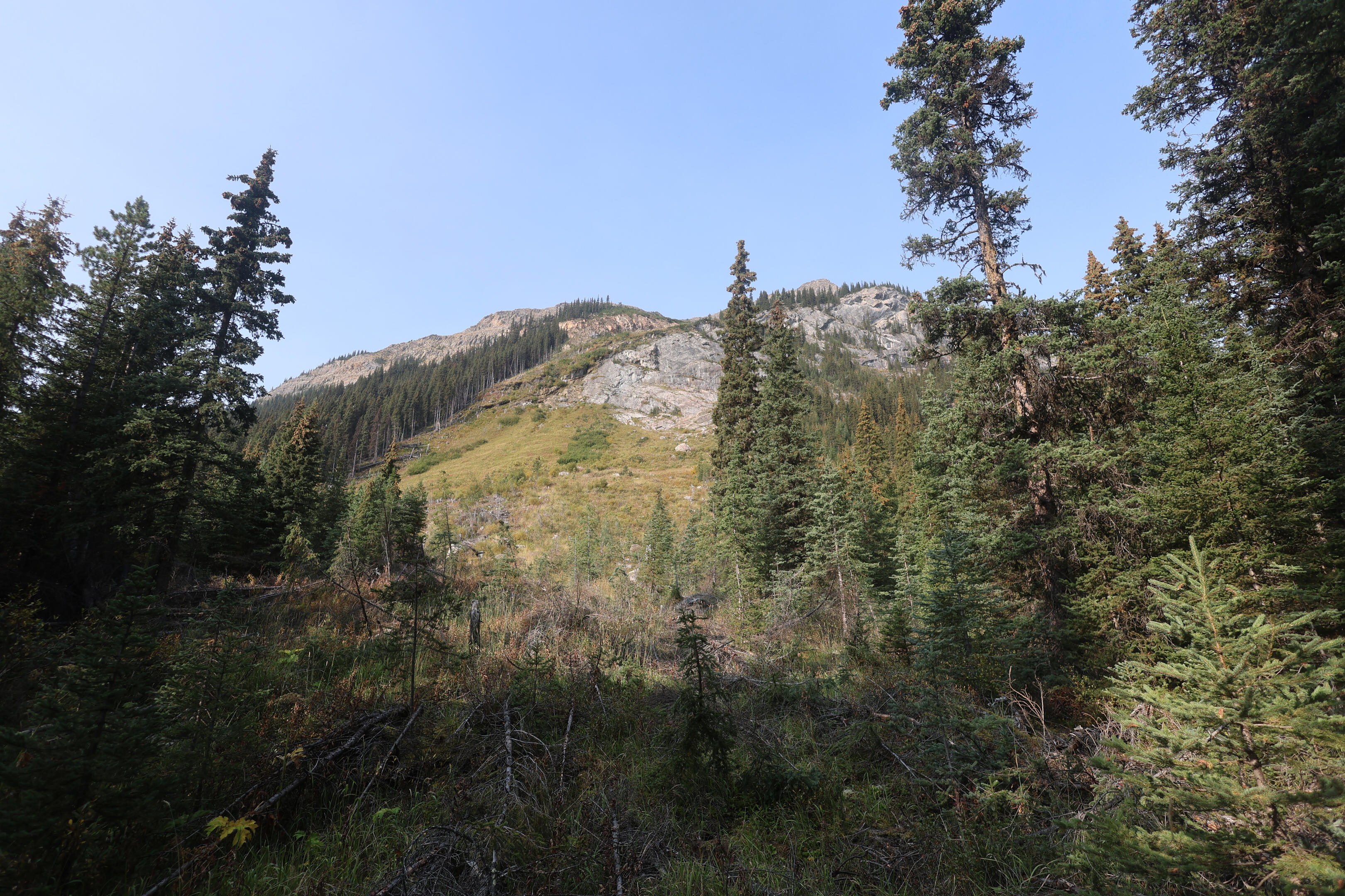

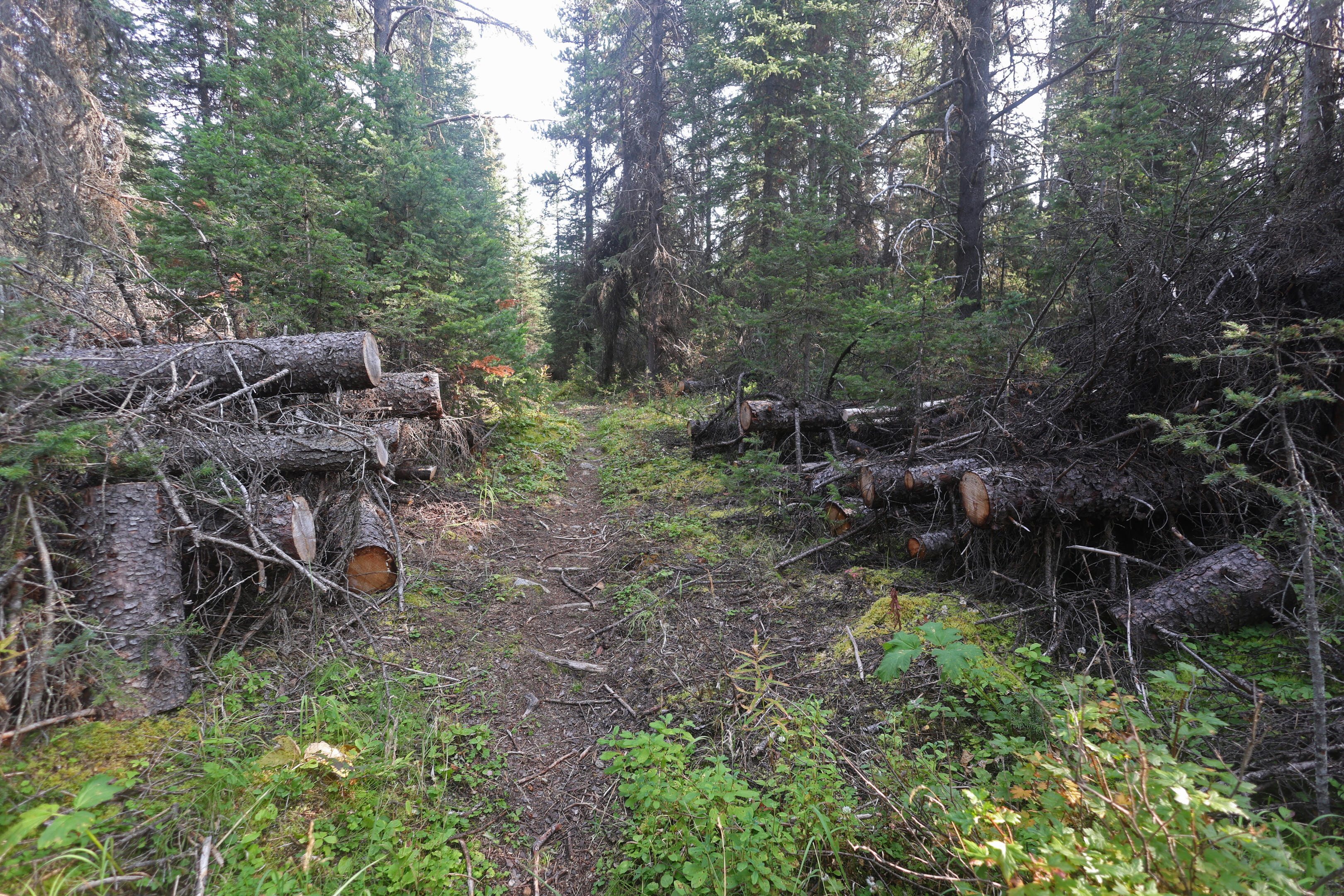
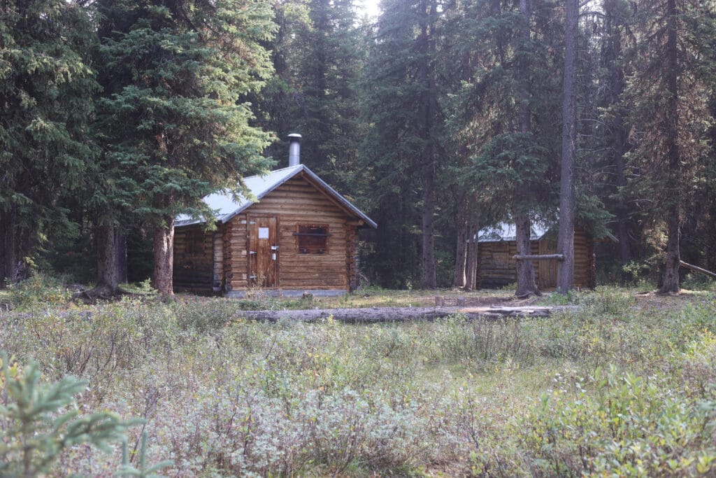

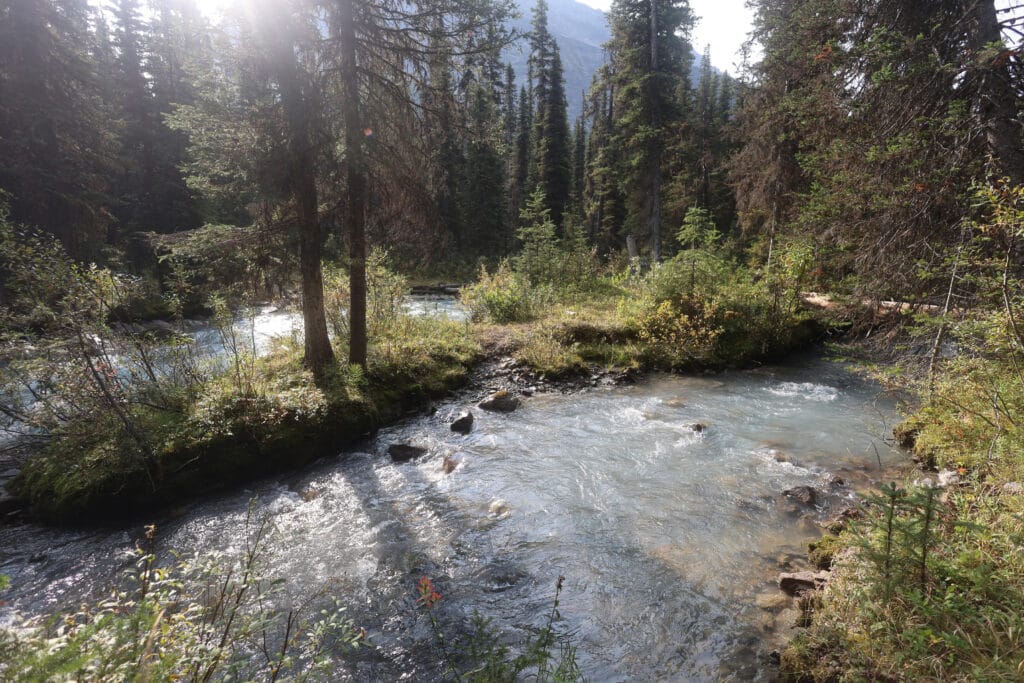
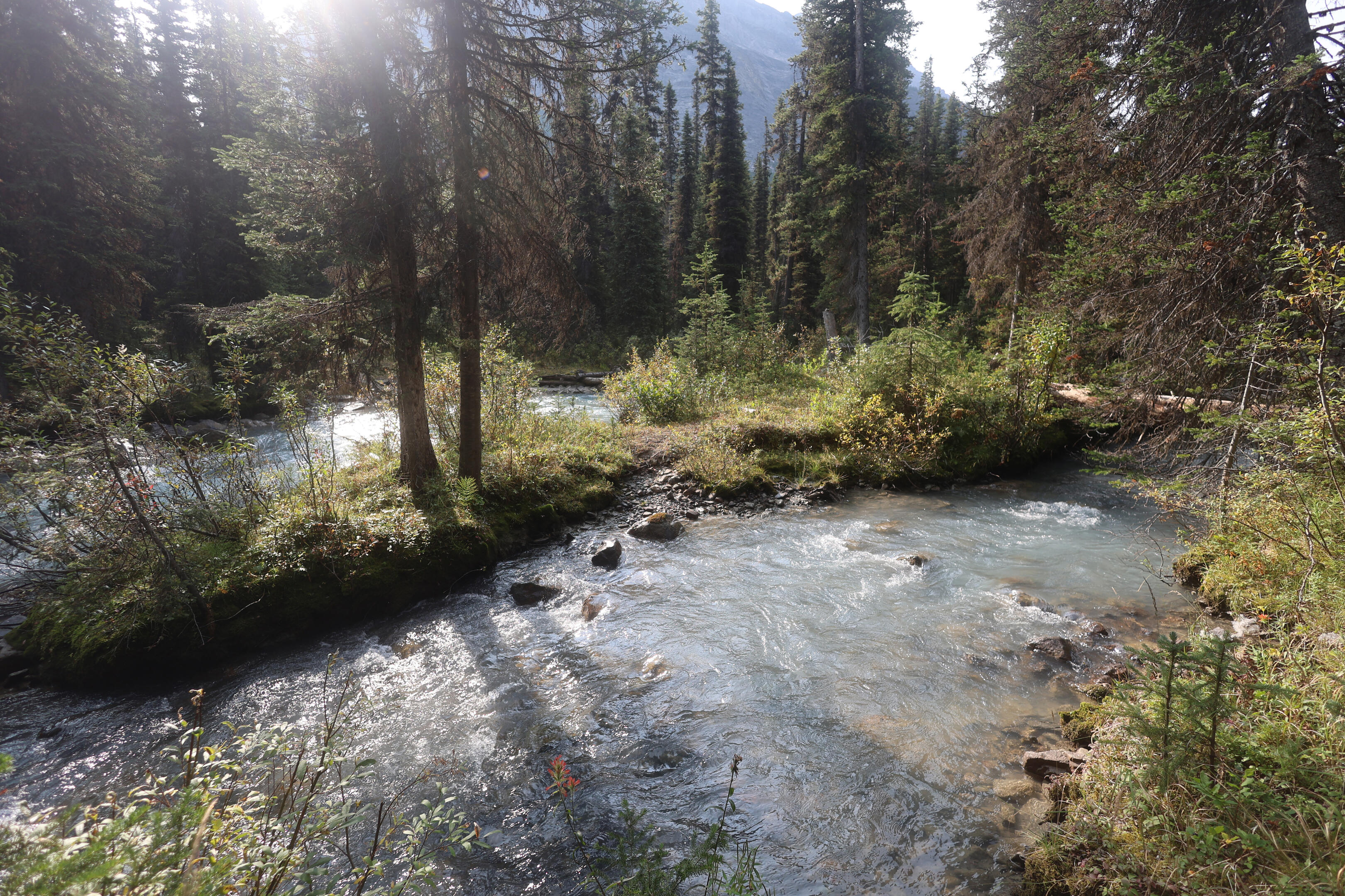

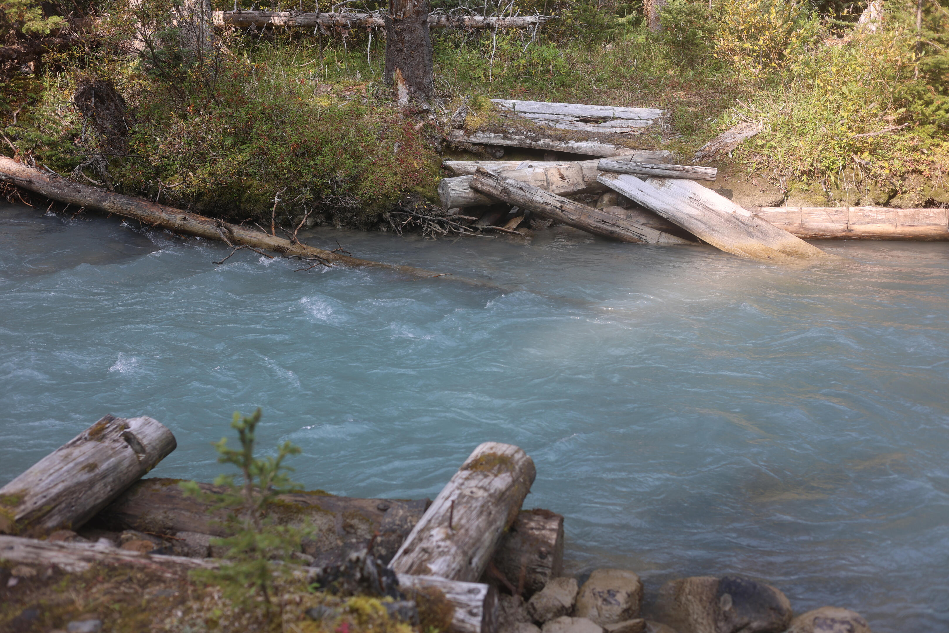
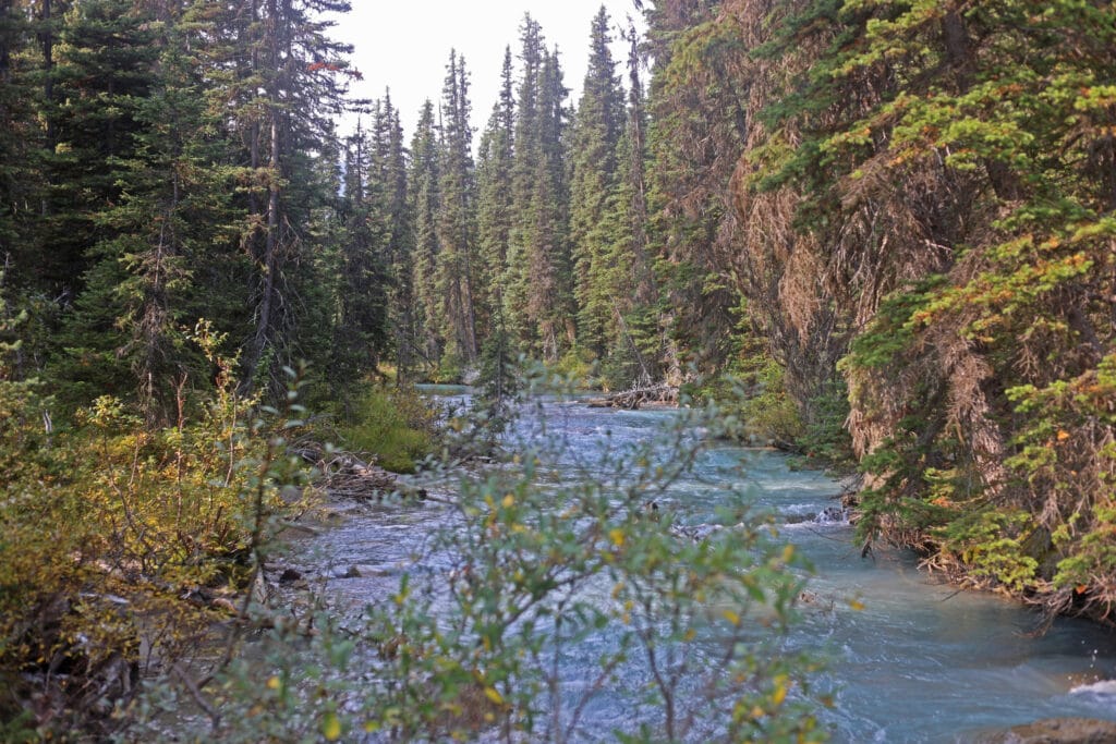
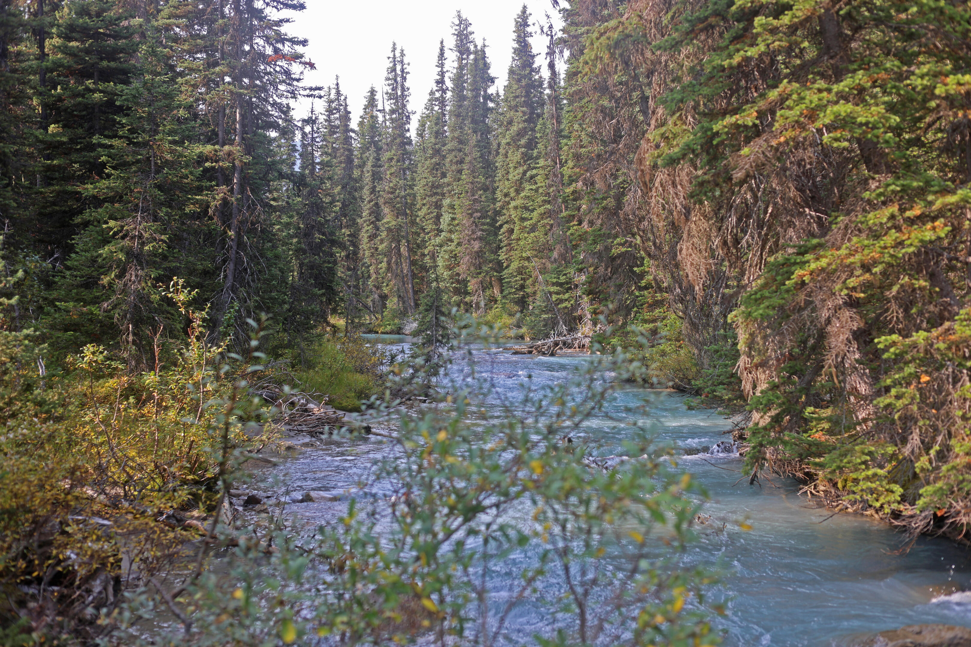
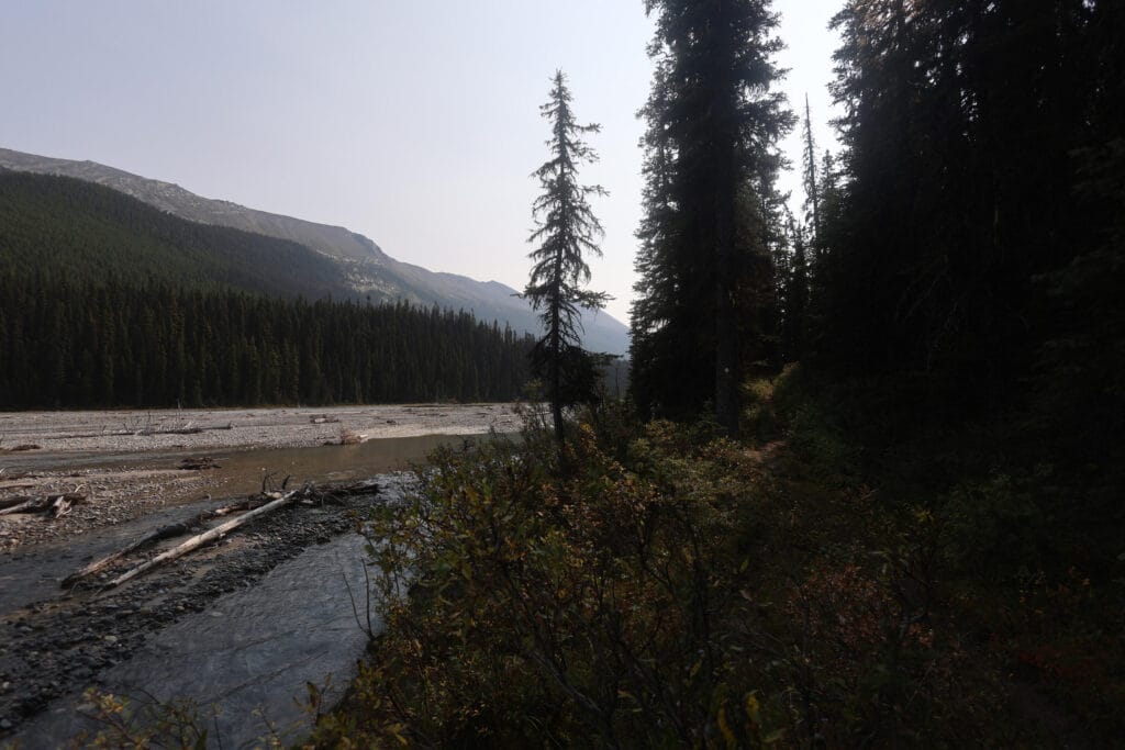
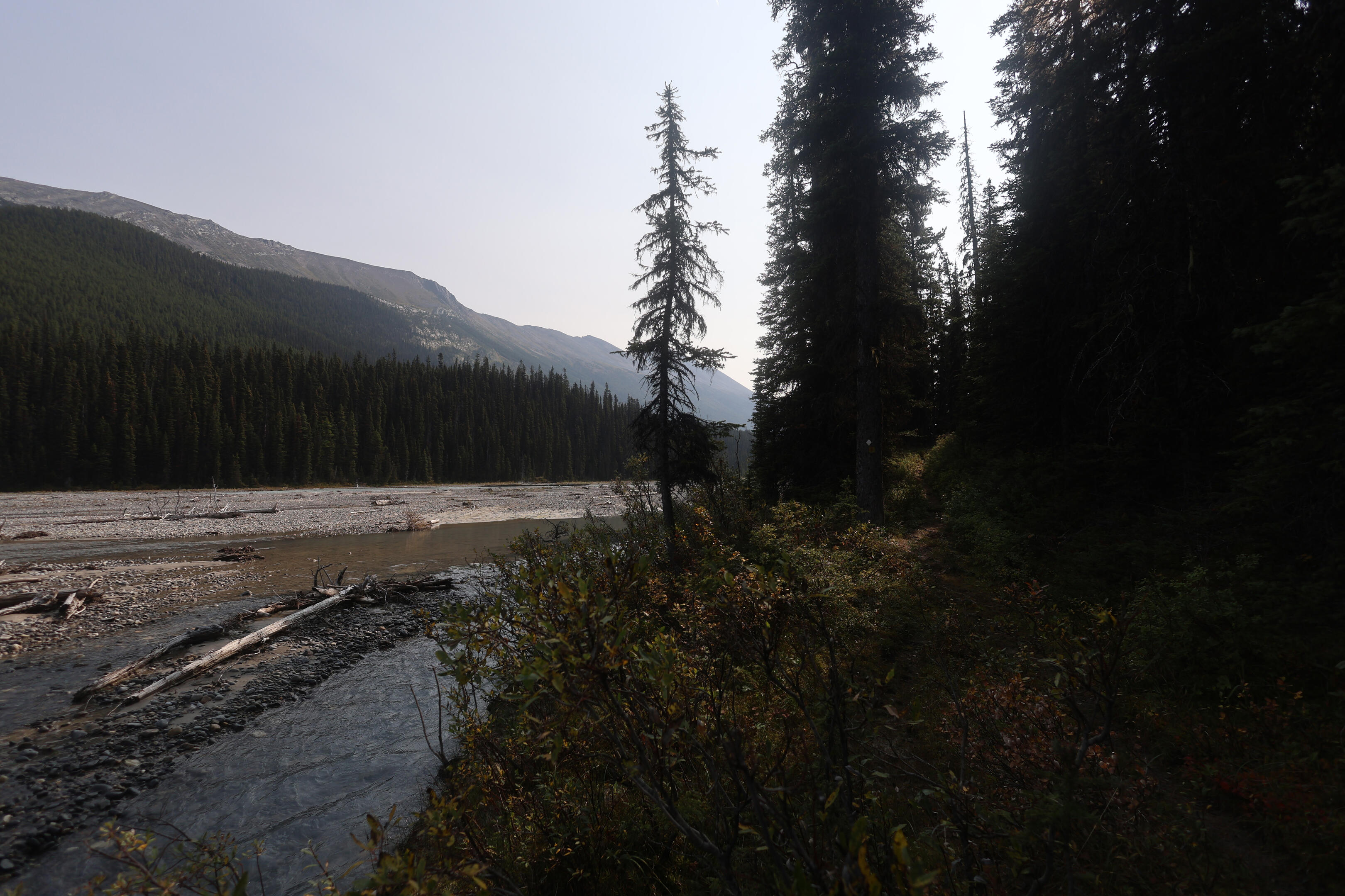
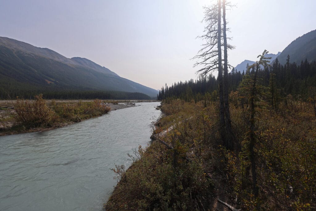

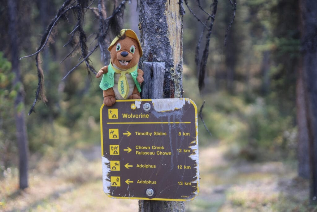
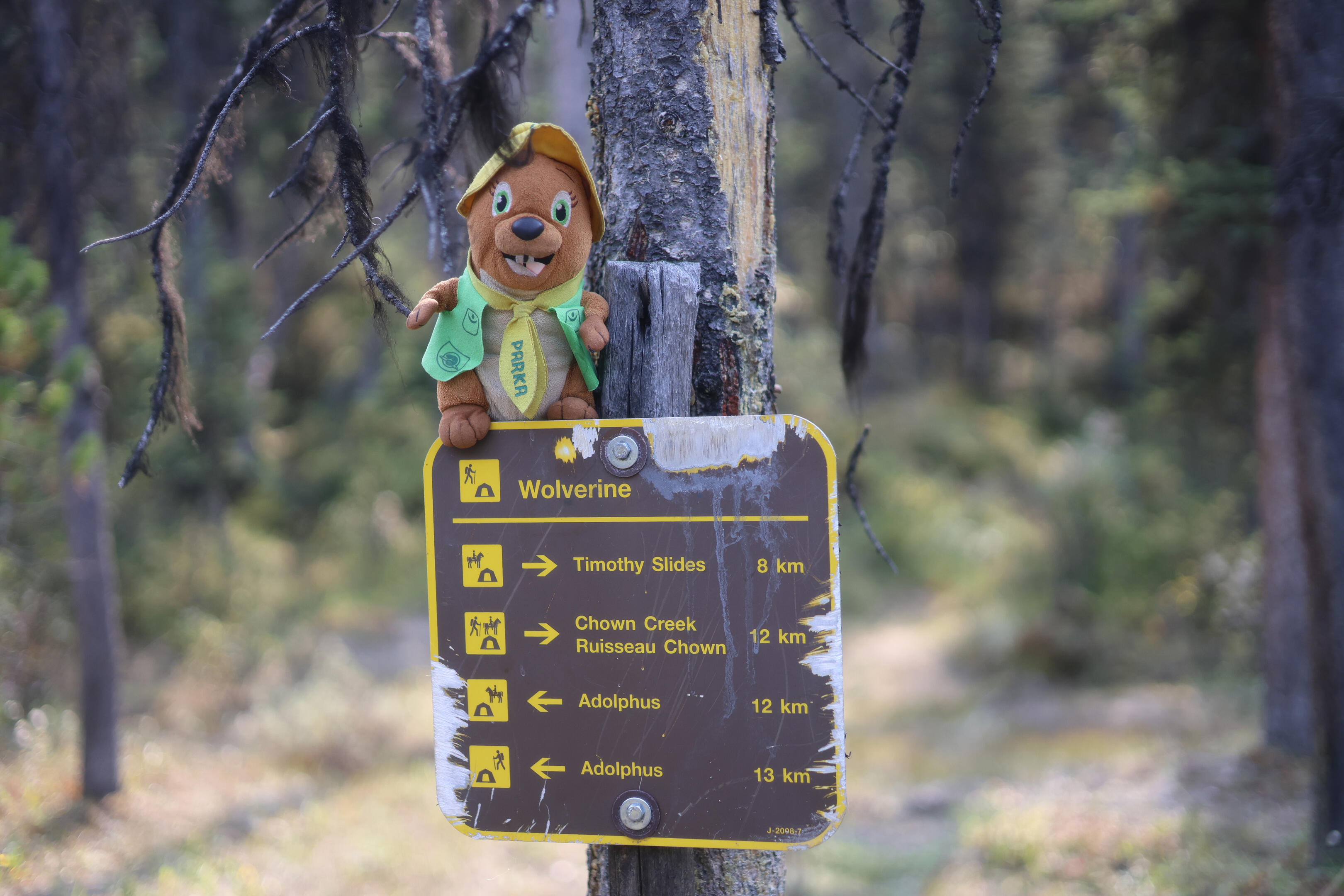
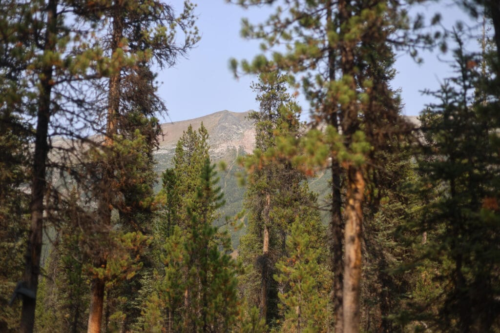

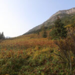
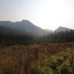
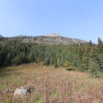
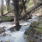
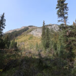
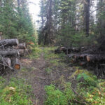
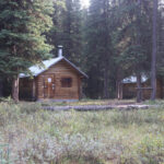
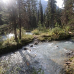
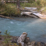
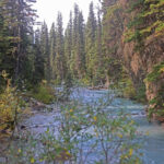
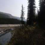
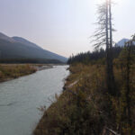
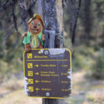
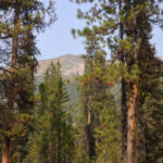
A warm day followed by a chilly night, camped by a creek in a single-wall tent. By morning the footbox of my down quilt was moist to the touch, not helped by all the wet laundry in it, but with a good quilt or sleeping bag condensation is much more of a curiousity than a problem, and I was toasty warm.
Then a morning fire with the three others in camp, making for a pleasant morning and a very strong pick-me-up before Yet Another Darned Day of Hiking. Beforehand I’d planned to hike up to the horse camp, where I expected a reasonably obvious ford, but they had crossed later in the day at the hiker camp and I was hardly about to look shy. As expected the hiker-camp ford was fine, and they shouted me over to some shallower channels that I probably didn’t need because the creek was in a good mood; following their directions as much out of thanks for being given them as anything, Chown Creek was at the top of my calf. The hard part was getting to the trail, which was neither obvious nor marked, and I bumbled the wrong way down the flats for a while looking for an entrance before they bellowed me in the correct direction.
The opening in the bush led to what might have been a game trail that you could only see from on top of it, but it was a short demi-bushwhack to the real trail from there, and then a fairly short and reasonable climb up a shoulder to begin gaining altitude for Robson Pass. Overgrown, one muddy bit, but generally good hiking up, with a bit more mud coming down but nothing compared to Snake Indian Pass, and good long stretches of glorious and easy hiking; day 8 was all-in-all my best-feeling day of the trip so far, even allowing for two fords. It’s not really easier than the trail up to Blue Creek, but by then I was in better form, my flu was less obnoxious, and of course my pack was lighter.
This leg of the North Boundary Trail coincides with the Great Divide Trail, the increasingly-popular 680-mile thru-hike from the American border at Waterton Lakes National Park way up into the heights of the Canadian Rockies. Exactly how much trail the North Boundary and the Great Divide share depends on the Great Divide Trail hiker’s itinerary. The Great Divide Trail enters the North Boundary area via Centre, Grant, and Colonel Passes, meeting up with the North Boundary at the Moose River intersection between Wolverine and Adolphus campgrounds, the start of the Great Divide Trail’s section G. From there, some GDT hikers turn left, heading down the Berg Lake Trail to the nearer of the official termini, but many turn right and continue up the North Boundary Trail as far as Chown Creek, where they break off and head to Bess Pass and from there remote Blueberry Creek or the “extended northern terminus” in Kakwa Provincial Park. If you see a Great Divide Trail hiker on the Berg Lake Trail you’re not terribly likely to stop and talk, for there are so many hikers that there just isn’t time, and GDT hikers tend to avoid Wolverine camp as it makes for a shorter day than they like, so the Moose River junction to Chown Creek is where you’ll knowingly meet them.
Sure enough, as I hiked I heard a “hey bear!” up ahead and shouted back “hey person!” They must have had pretty good lungs so it was a surprising while before we met, three great guys hiking the Great Divide and on their way to Bess Pass. I reassured them that Chown Creek was not a difficult ford, but they described a bit of an adventure at Carcajou, where they’d found the horse ford too difficult and detoured a hundred yards or so downstream to a sketchy log crossing. Given the hiking they must have done to reach that point, including fords of the Moose River, I definitely paid attention.
The day was filled with great hiking. The views were starting to open up, not always spectacular but more generally interesting even in the forest. I didn’t see the signs for Timothy Slides horse camp, either because the signs are missing or because my head was down: it has long been obscure to access and without the signs I’d never have noticed the esoteric spur trail, so if you’re planning a stay at Timothy Slides be sure to have the location locked into your GPS so you know when to keep your eyes peeled and where to go. There was a fun little creek that probably has a real name but I called “false Carcajou” because it is a foamy, fast-moving, broad, white, and furious ford that when you step into it is an absolute piece of cake and probably lulls people into a false sense of security. The thing to know is that “false Carcajou” is north of Wolverine warden cabin, and real Carcajou, the one the Great Divide Trail hikers had been wary of, is south.
Prior to the warden cabin is a fairly long hiker bypass which, since the horse trail is obviously and immediately wet, I willingly took. It’s a decent grunt inland from the Smoky River but had been recently cleared and comes with rewarding views. The only awkward part is getting off it, as one hikes a sort of question-mark shape for whatever reason to meet the hiker bypass sign on the other side that is now upside-down. It’s not tricky, but it’s counterintuitive, and the only way through is to pay attention.
You won’t miss Wolverine warden cabin. It’s miles away from the present location of the Wolverine campground, but is visible straight off the trail. Not that it’s all that worth seeing, for it is somehow yet another North Boundary warden cabin with a mediocre view, but it’s an improvement over Byng or Three Slides anyway. I did not loiter, though as I was freshly bathed I had hoped for more summer job cuties on-site.
From there came Carcajou Creek, Big Ford number five of six18 on the North Boundary Trail. Braced by the GDT hikers, I approached the horse ford with caution. At the ford Carcajou is divided into two channels with a healthy treed island in the middle, but the first channel was obviously not bad so I tore through white water that got to the middle of my calf. Had the second channel looked nasty, I might easily have backtracked, and it was swift and deeper, but also rather short. I decided the ford was definitely on, and while it got over the top of my knee, it was no problem. It is silty, and perhaps the GDT hikers thought it looked deeper when the sun was lower, but I found it no tougher than Chown. Early in the season it would probably be nuts, but the two branches are short enough that it would take some extreme conditions indeed for me to consider a sketchy log shimmy as an alternative.
Really, I was feeling so good that I thought about skipping my planned camp at Wolverine and going to Adolphus. Wolverine has a bad reputation for flooding. In the 2000s the Smoky River changed course to get nearer to the trail and flooded out a stretch around Wolverine campground. Although the now-standard North Boundary hiking season avoids the worst of it, the former Wolverine campground was underwater so often that it was moved to its present location a bit more than a mile south and a bit further from the river19. This helped but the current site still floods very frequently: I have seen photos of the fire pit underwater in September. Even apart from the photos I’d seen and stories I’d heard the ground shows how often the river rises over it, leaving a sandy surface with little small vegetation. There is no high ground worth the name and you have to either take your chances or press on. Moreover, the weather forecast was ambiguous: heavy rain might show up the next day, or the day after, or then again it might not.
I decided against it, in the end, because unreserved camping on the Berg Lake trail is so unlikely that it would have made for two sixteen-mile days in a row, finishing early would have been a logistical pain, and while the weather forecast was too all-over-the-place to really plan by, both Garmin and the clear sky promised no heavy, flooding rains overnight. Then I had to cross a knee-deep runoff stream right before Wolverine campground and decided that, yeah, I was done for the day.
High water is not Wolverine’s only issue. While the bear pole was up, half of it is on a very dead tree so its days are numbered, and in fact a number of the trees near the tent pads are not really reassuring. The privy is across a creek, which is something you see sometimes, but in those cases there’s a proper bridge and at Wolverine someone had improvised a sort-of-bridge, a bundle of five slender logs, that is not very confidence-inspiring and probably not going to last.
But all that aside, given a late season and safe weather I am a Wolverine fan. Plenty of flat space, and while the privy is across that creek so is the trail, so depending on your routine and direction of travel it might not make a practical difference. To the east, there are broken but fine views of the grand Calumet Ridge, a long-lasting companion on this part of the trail, and even to the west there are tantalizing looks through the trees at Talus Mountain and far more dramatic, jagged peaks. The water is silty, which is something you had better be used to by now, but easy to reach and abundant. I arrived disgracefully early, and while I’d have rather passed my time at a real gem like Twintree, Chown Creek, or Three Slides, Wolverine is not at all bad, maybe the most pleasant of the non-blue-chip campsites.
It was a half-day off in good weather towards the end of the hike, and it takes a lot to not be in a good mood in that position. Later in the afternoon some guys from McBride swung by on their way to Blueberry Creek, a good jaunt for locals who want isolation and whose girlfriend can pick them up, and I gave them some intel on the fords ahead. They warned me of some routefinding around Gendarme, which my research had led me to expect, so the best part was that talking to me distracted them and they failed to cross the creek to the trail until I stood on it and showed them where it was. I’m glad I’m not the only one that happens to.
Taken all in all, Wolverine reminded me of a better version of the South Boundary Trail’s La Grace. It’s a simple campsite right off the trail, but a thoroughly nice place to sit and enjoy nature. Except for the flooding, but since it didn’t rain overnight that made no odds.
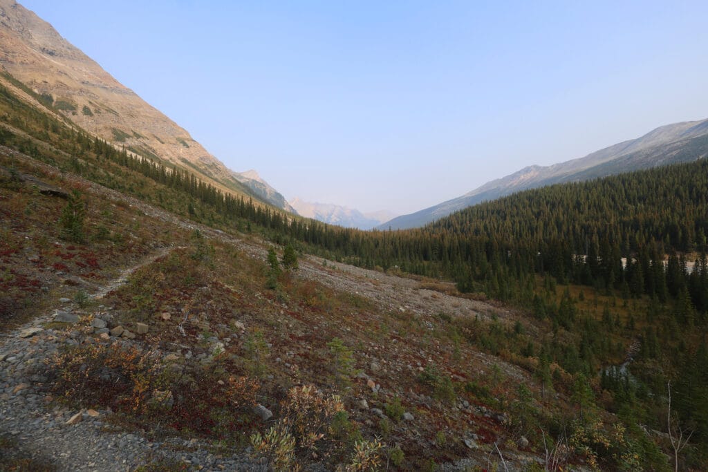
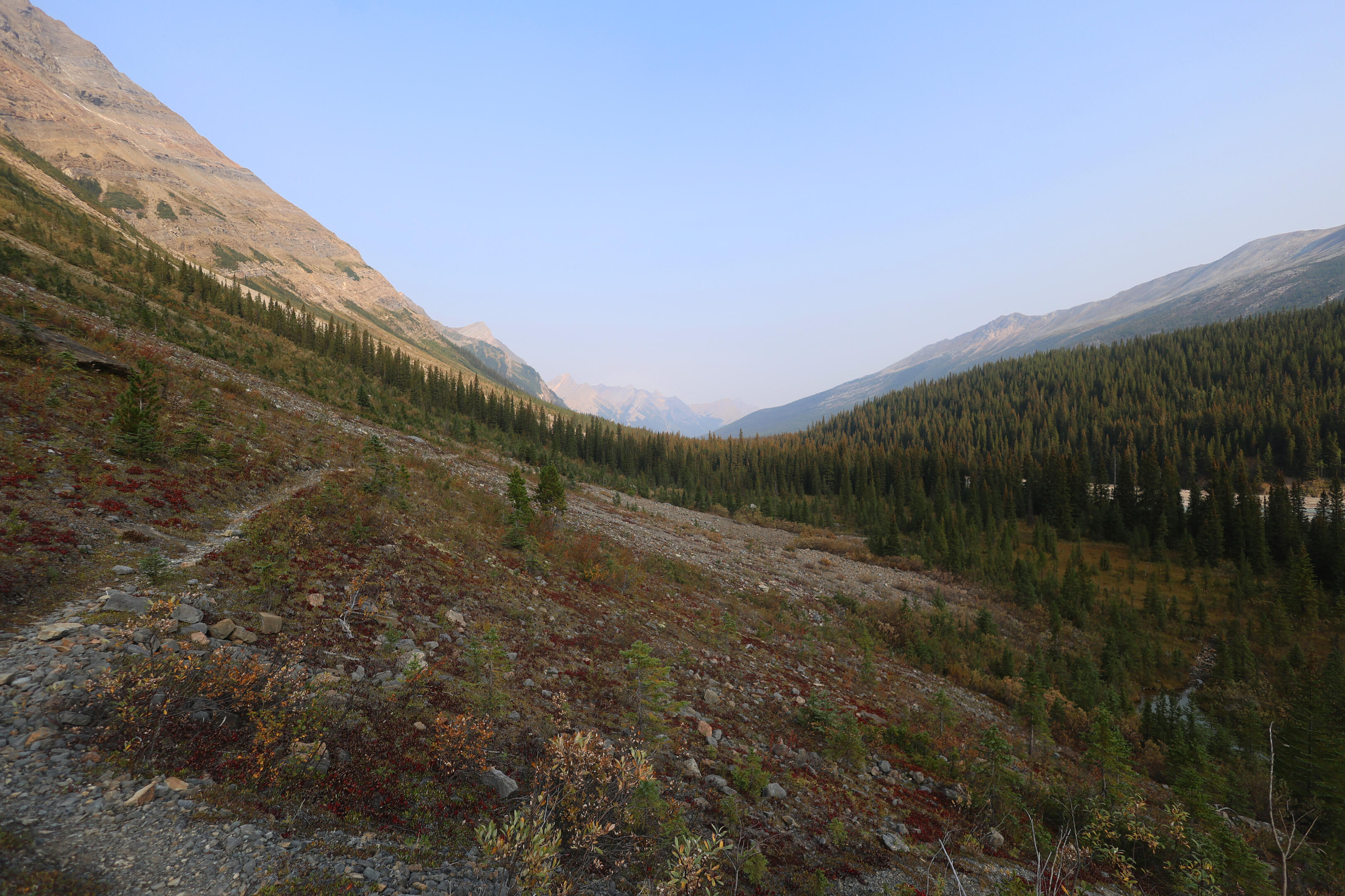

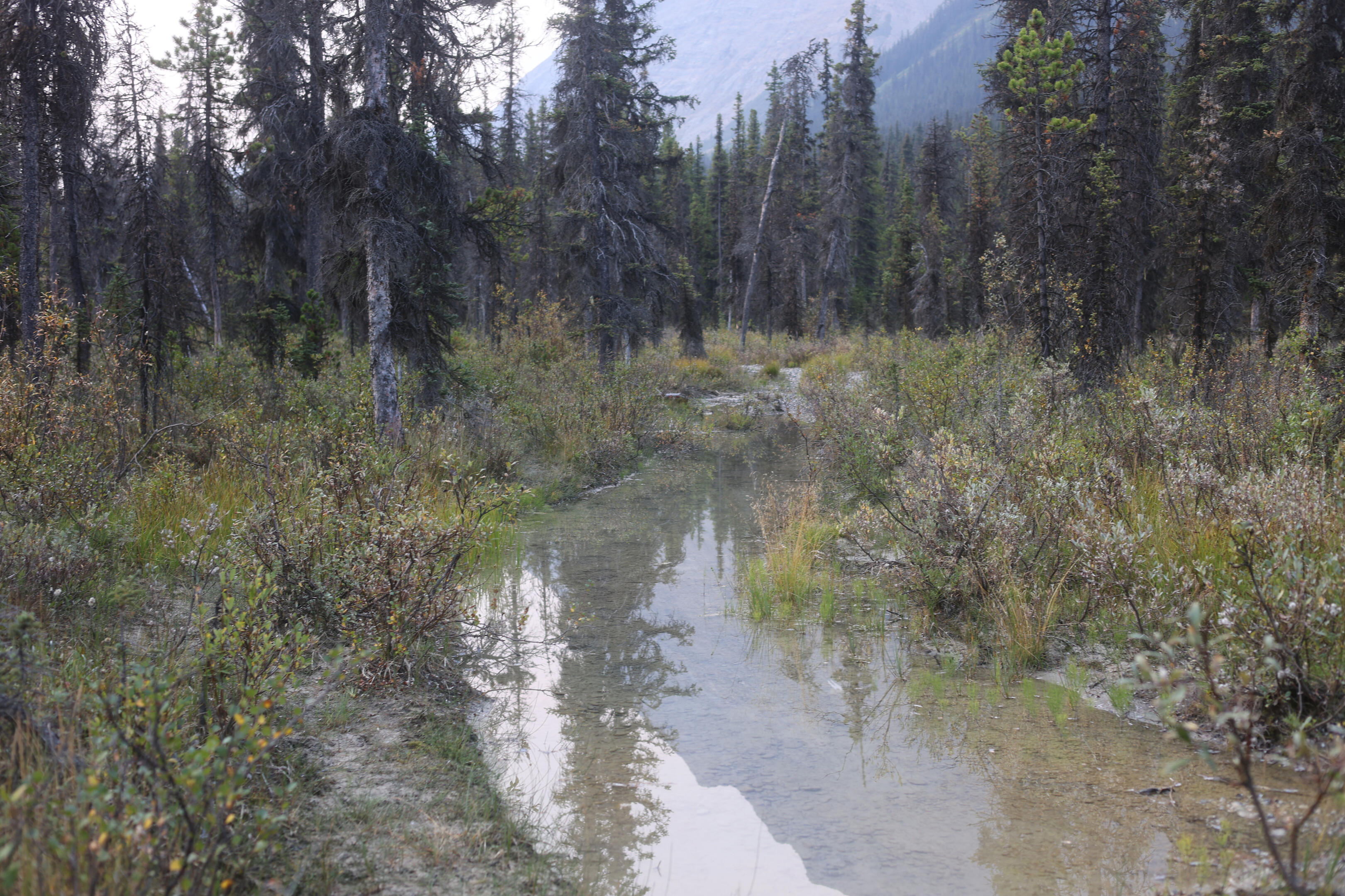

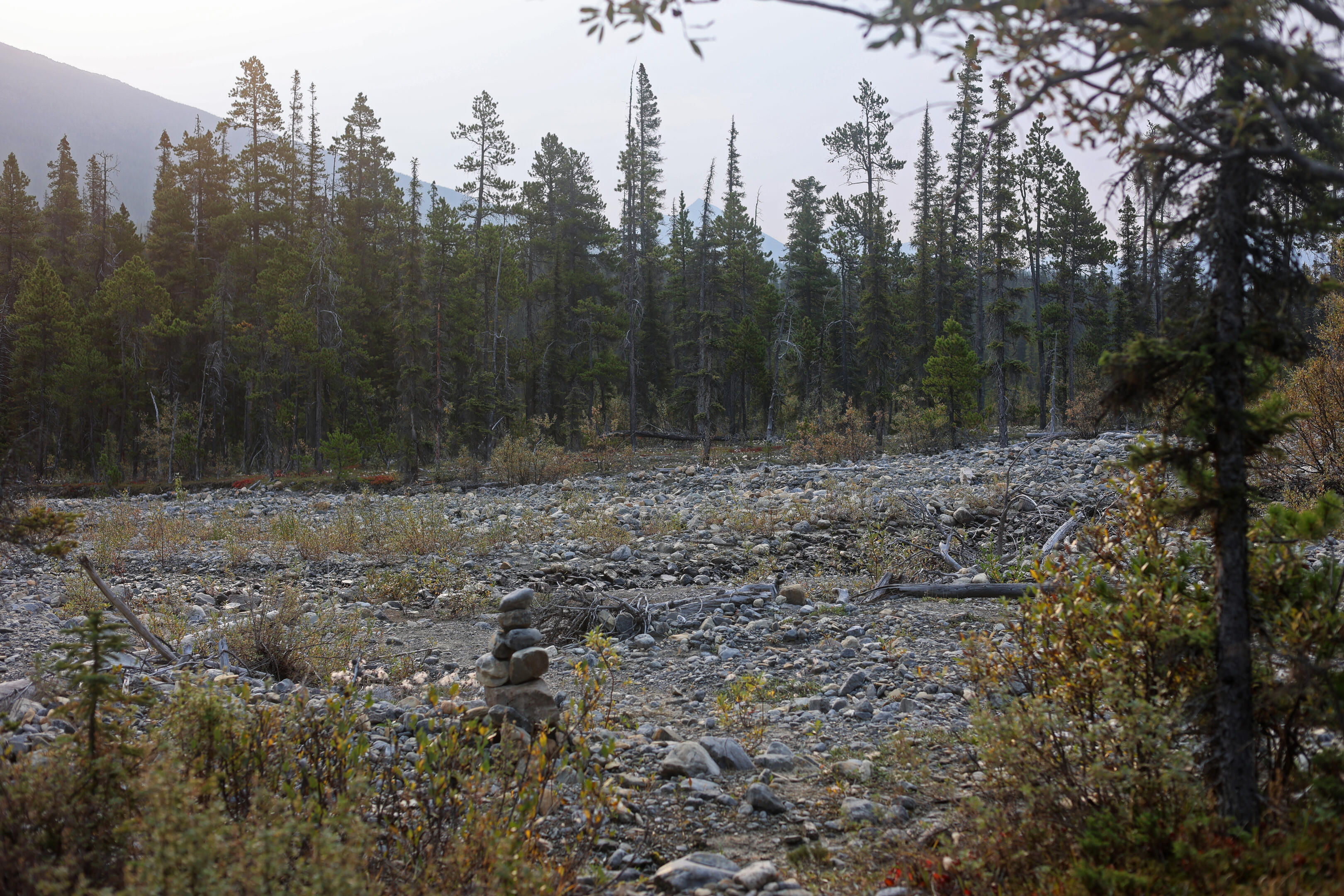
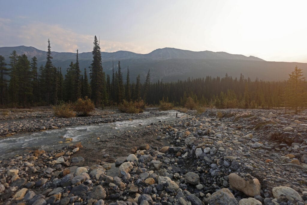


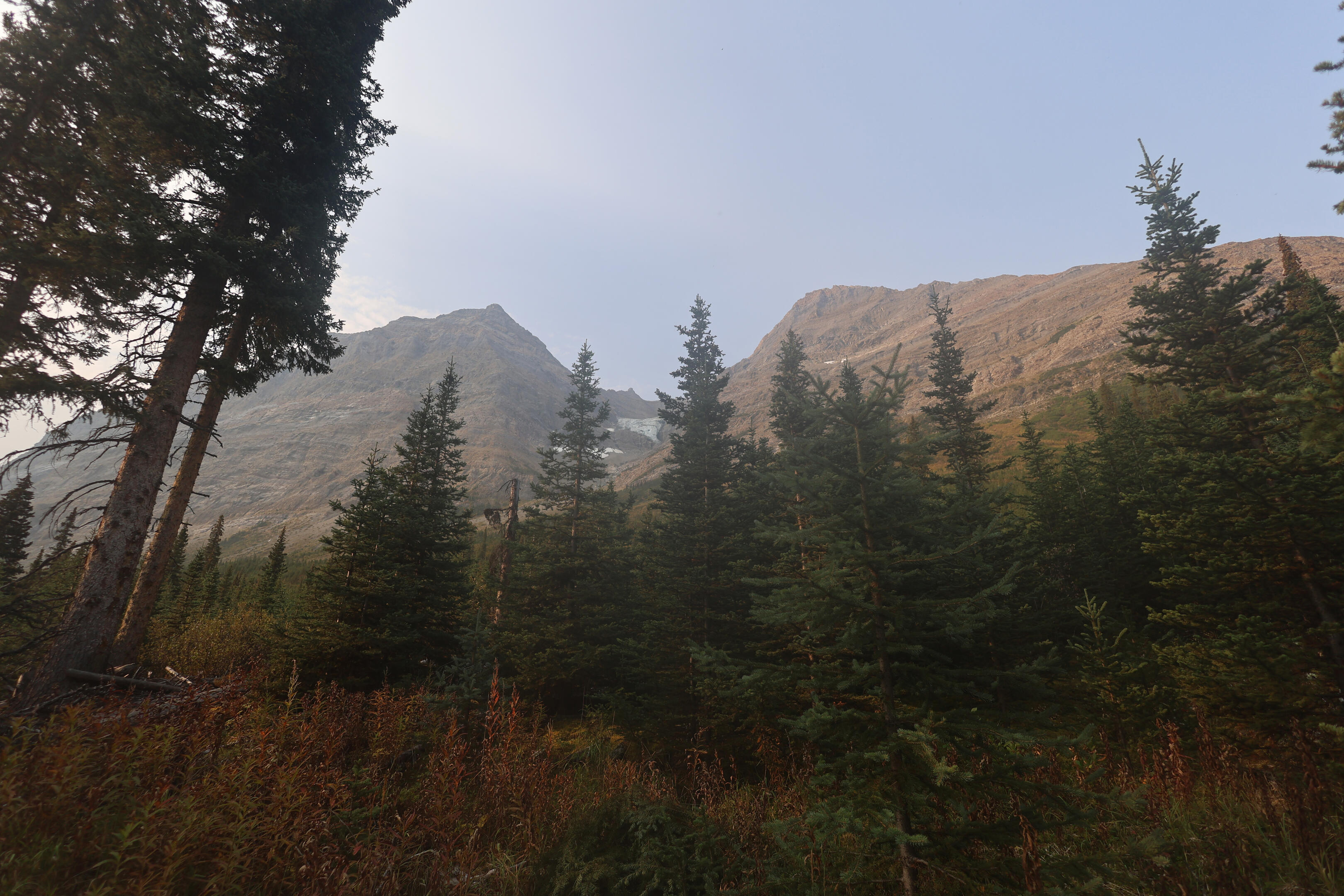
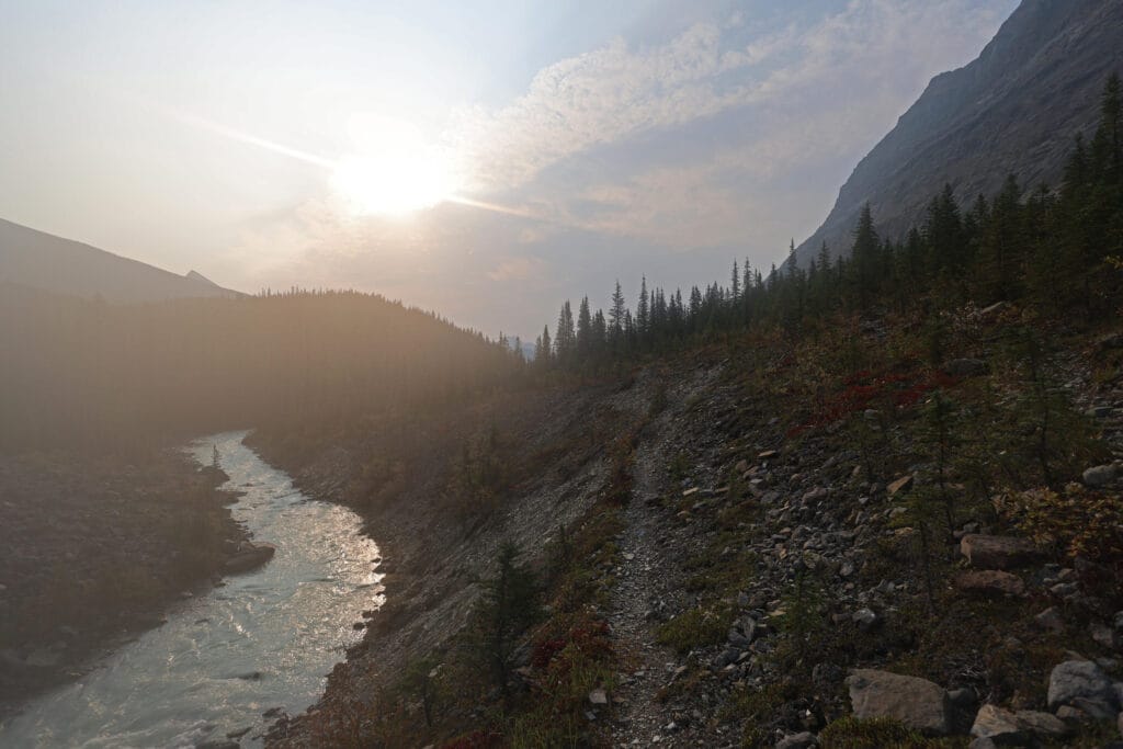


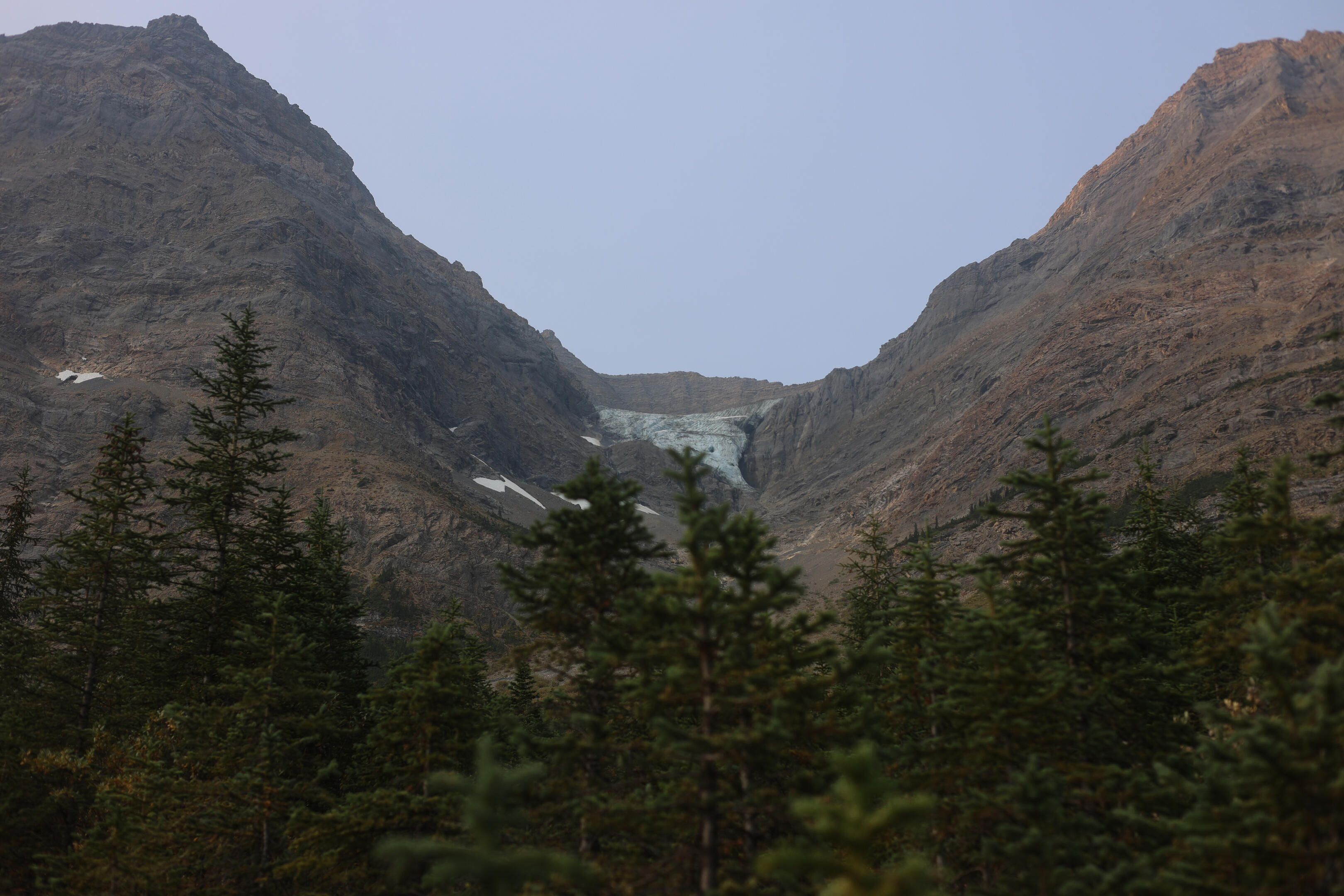

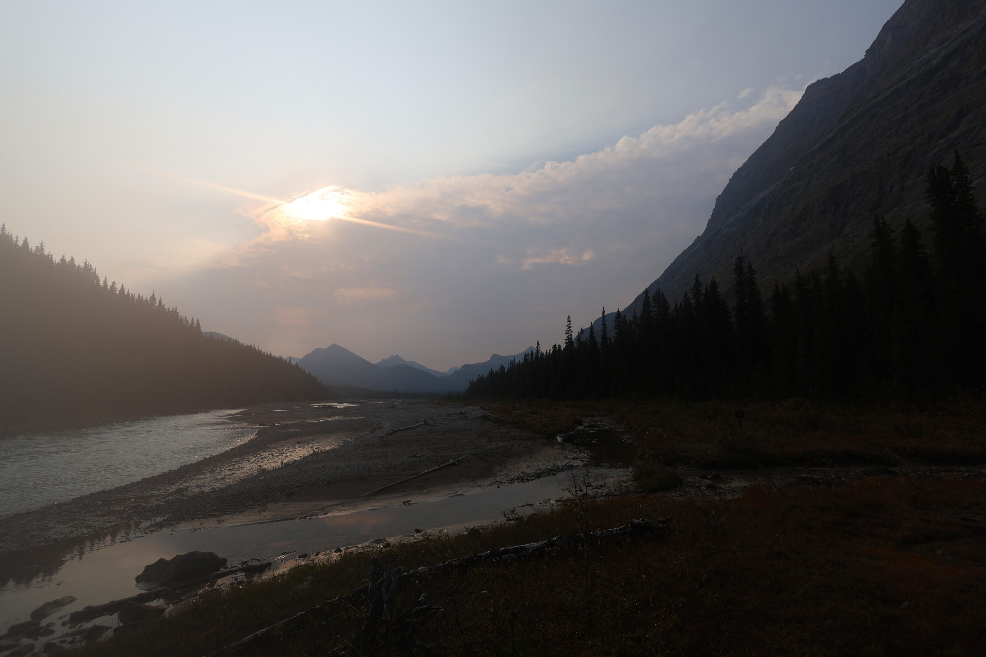
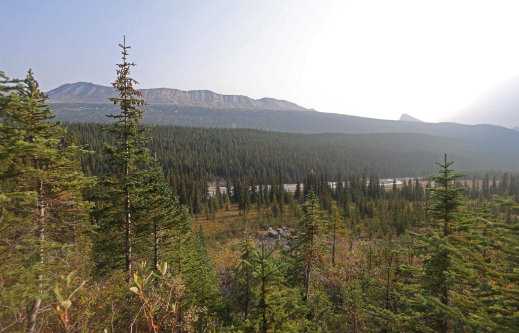

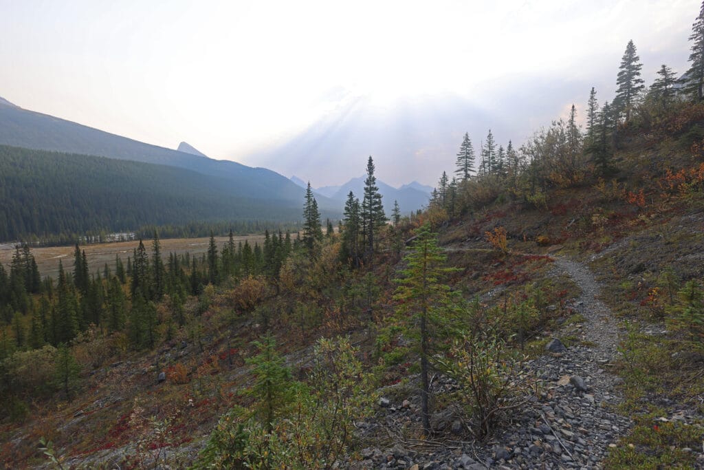

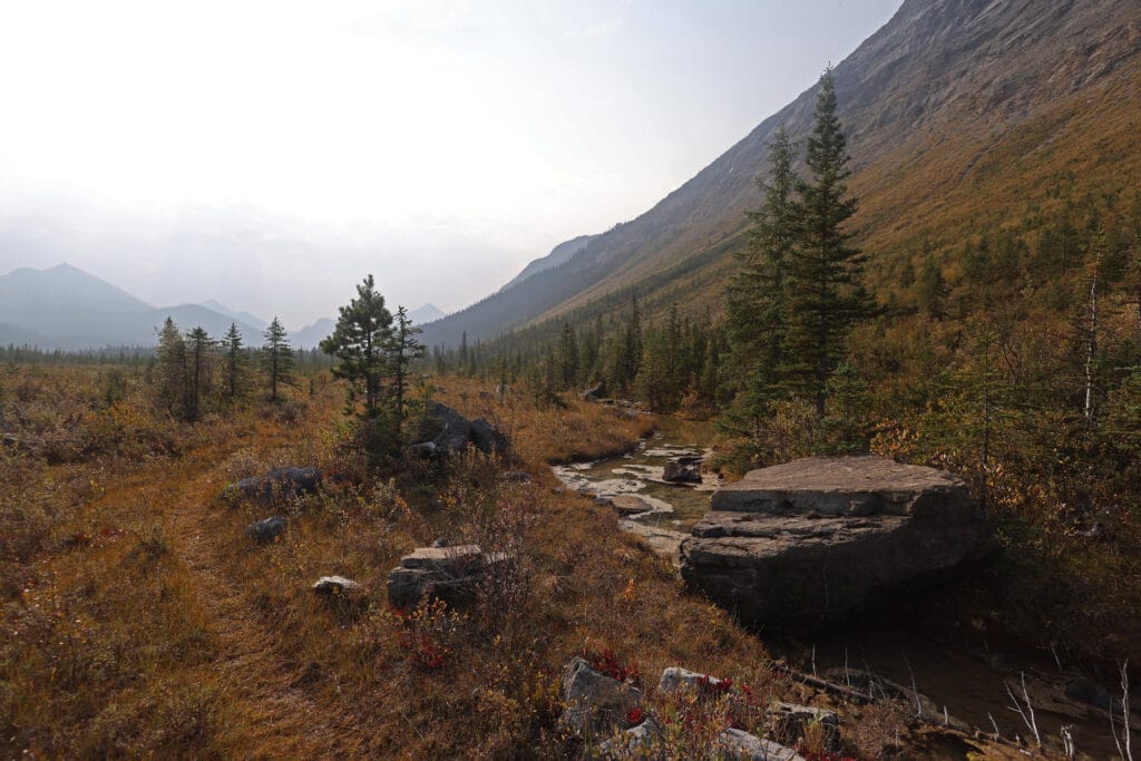

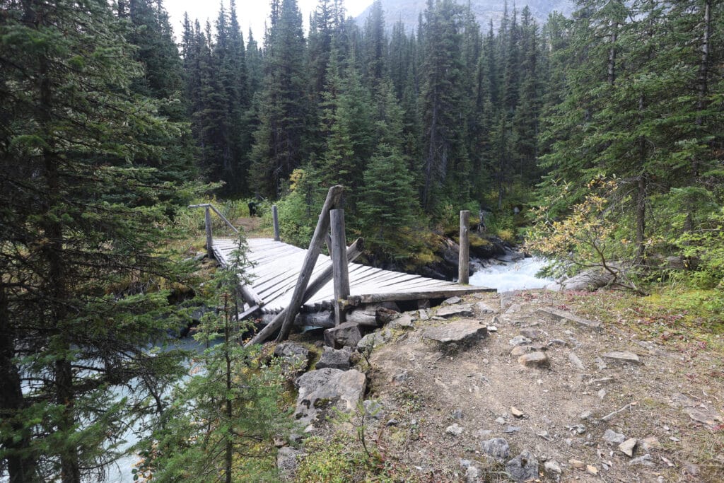


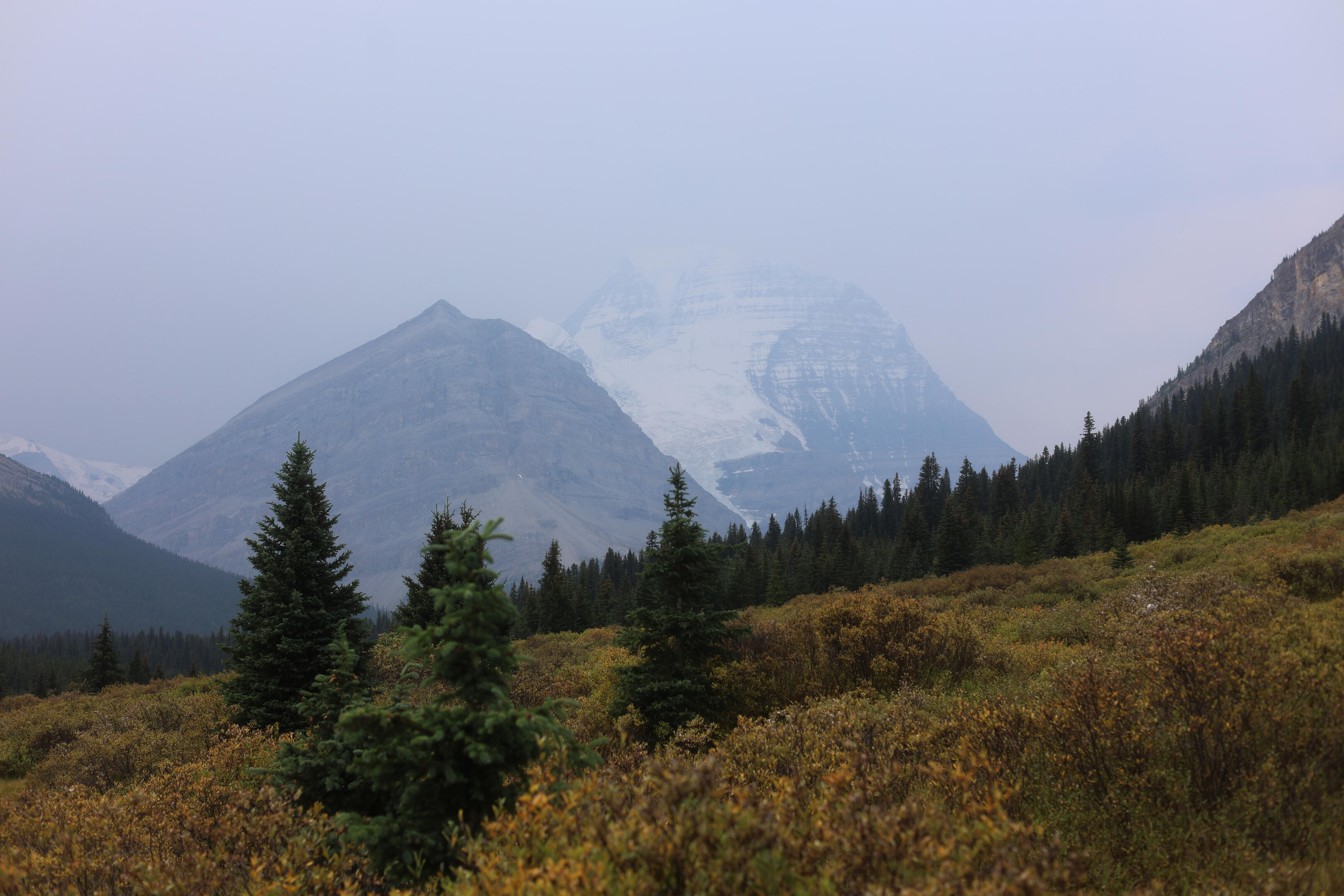

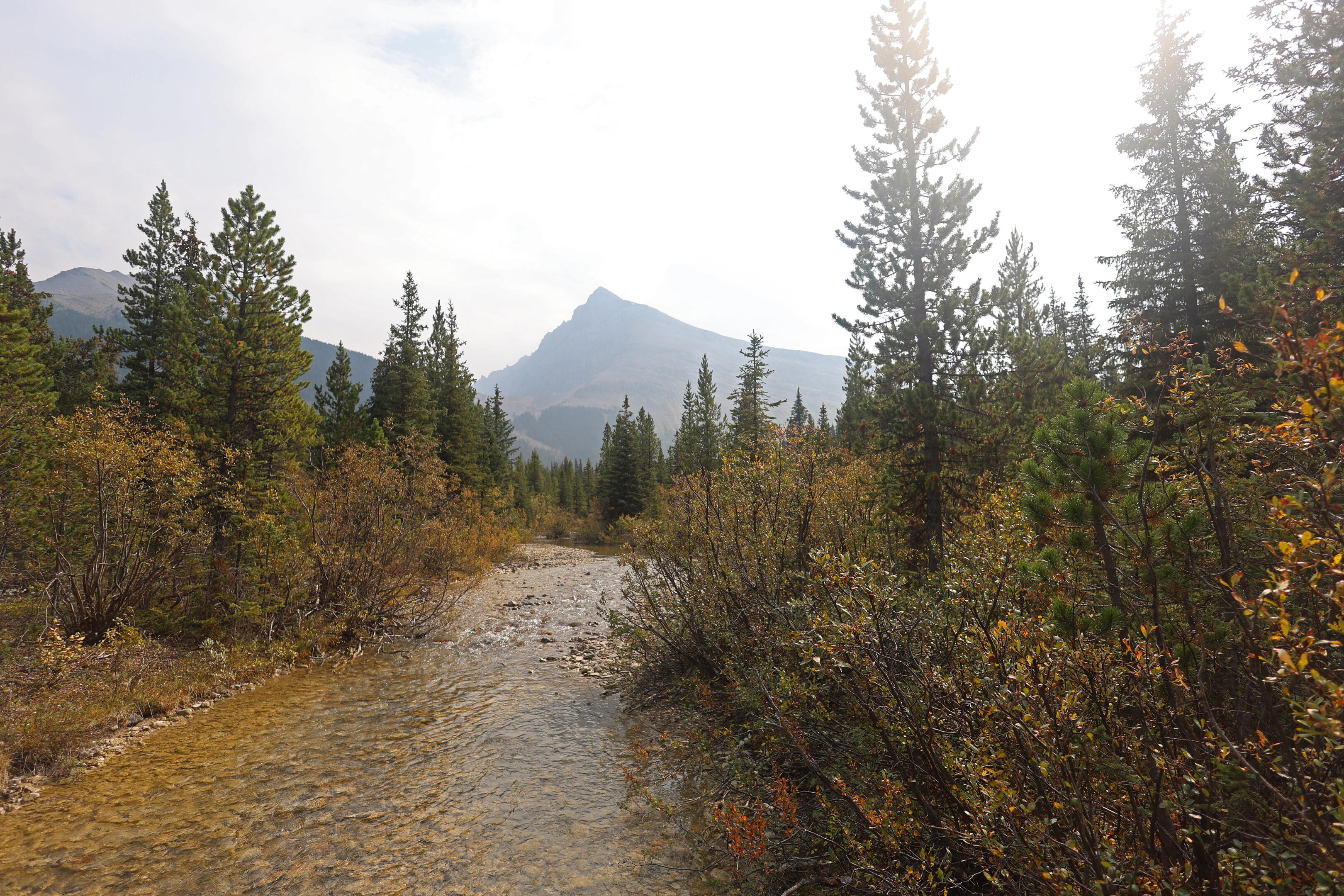

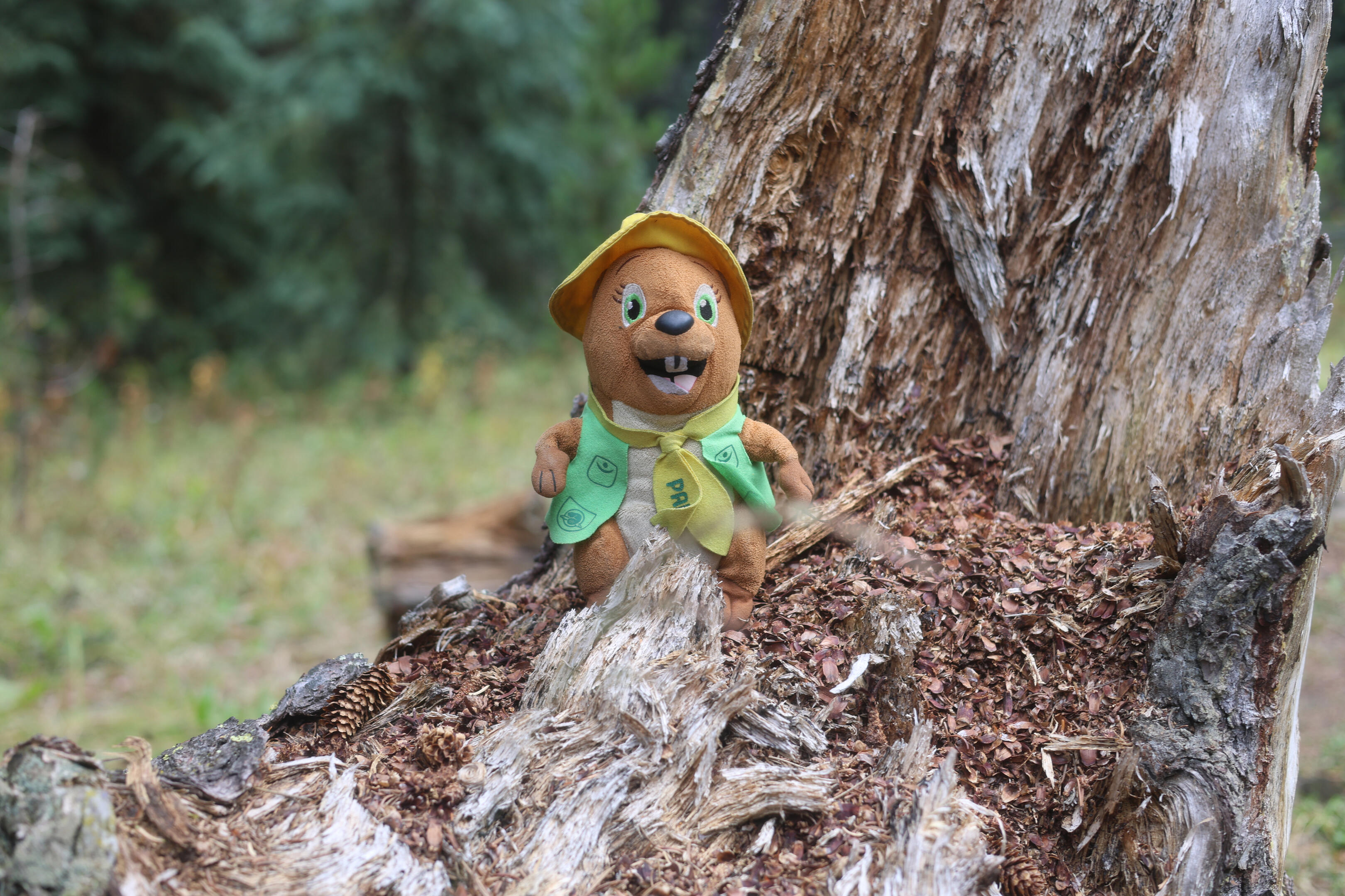
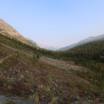
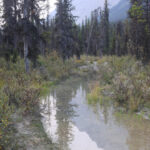
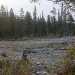
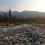
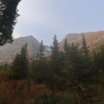
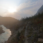
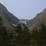
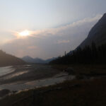
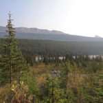
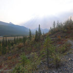
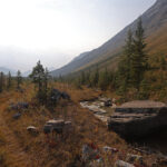
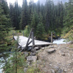
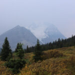
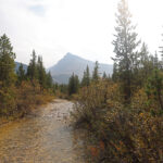
The cough came on again overnight and it was a while before I drifted off. A poor night’s sleep usually puts me a goal down right away, but today I watched a beautiful full moon through my tent fly and awoke knowing that I was getting near the end; that this in fact was the last day of what you might call the real North Boundary Trail, the obscure and little-walked dream hike, for tomorrow I would be heading down towards Berg Lake in as great a crowd as you ever see in the backcountry.
While I ate breakfast, a porcupine moseyed down the tree in which he had been hiding. He saw that I saw him, and started moseying back up. He was a skittish little fellow, and hadn’t mustered the nerve to chew on my gear in the night. This morning my gear was all right beside me in the eating area and he lacked the heart to come over and eat boots I was actually wearing. Still, I wasn’t about to leave everything behind for my morning visit to the privy, so I simply packed up and did that at the beginning of the hike; now you know what that odd start to the GPS track is about.
I wound up glad I hadn’t banged this out as the second half of a long day, and was instead able to appreciate it on its own. It wasn’t tough, but it was interesting in so many different ways that it deserved a place in the sun, not a grim march through fatigue and frustration.
As mentioned, Wolverine is prone to flooding, and the first few hundred yards after camp give you an idea of how that happens; there had been no rain to speak of in more than a week yet the trail was still thoroughly awash. Enough rough tracks skirted the edges that I didn’t have to get my feet wet, but rain would have changed that. It goes on just long enough to alert you to the water table in these parts, then after a mile of pretty easy walking one is doomed to get wet either way, arriving at the hiker-horse split to Gendarme Creek. Well. I say it’s a split. In fact, though the hiker trail is signed, there is no reason to take it unless you want to look at the old broken bridge. Not only is the ford nasty where the bridge used to be, but there’s such a steep climb on the other end that in the good old days the park actually had a ladder. So all except devotees of bridges that aren’t there anymore should head straight down the horse trail.
Down at that low level, Gendarme Creek breaks out into all sorts of braids and an easy series of fords. The debris chute it passes through makes for obscure trail, but there were cairns, flags, and beaten-down tread enough to keep the line. At the far end, a conspicuous yellow marker brings you back to the trail with no fuss.
Then the trail climbs, not far, and busts out into an eroding, dodgy-here-and-there rock path carved into a steep slope with capital-V Views in, and it’s amazing how literal this is in the Canadian Rockies, every direction. To the north, back the way you came, the Great Divide with Mount Jessie looming in the distance. To the east, the Smoky River, chiseled deep below you, and the ever-present Calumet Ridge. To the south, the direction you’re going, the giants of the Robson area are starting to grow, and though they are more teases and promises than hard scenery they make a powerful motivation, at such a distance you can even make out the depression that will become Moose Pass. And to the west, well, you’re on that slope so there’s the least to see, but look up anyway at Gendarme Mountain and the dirty, deep-hewn Mural Glacier. It’s slow walking here, to keep from sliding off into the Smoky River, but there’s no reason you’ll want to hurry.
By a combination of hiking down and the Smoky River coming up you gradually return to the river’s level, and after some thoroughly pleasant walking another hiker-horse split arrives, the longest one on the trail. Hikers go uphill and inland; horses immediately ford a rock-hoppable stream and head down the alluvial flats of the Smoky. From the tracks I could see that Jasper’s horses had actually taken the horse trail this time, and with the water low I thought it might be a very pleasant walk, so I hopped the stream and headed that way. Pleasant it was, for five good minutes, but I reached an area where the trail had been eroded, there was a deep pool with a tree in it to make skirting around difficult, and the only way would be an ugly bushwhack or a wet ford. It was nothing unmanageable but I had barely started and suspected there’d be more where that came from; besides, the great thing about the alluvials are the wide-open views of what lies ahead, and in those five minutes I had after all seen them. So I turned back and took the hiker trail instead.
An interesting experience, that hiker trail, and “interesting” is not a polite euphemism for “bad.” Climbing up on a bare ribbon of trail, totally overgrown by young pines, does sort of suck, and once you’re up the clearing is more recent than I would have guessed but not so recent that the last Jasper patrol could have had a hand in it: for the first time since Snake Indian Pass there was actual deadfall to negotiate, though the trees up there are not too large and it was of a low level. Navigating through a series of old rockslides on the path less taken requires more attention than usual. But for all of that, what you get is a nice walk along a gorgeous ridge before gradually making your way back down. The views are spectacular throughout, every bit as good from down on the river, then once you’re down the trail mazes through watery channels in a stretch of low grassland, with plenty of one-step rockhops and, hopefully, some elderly flagging to guide you through a network of old paths and game trails. Chances are you’ll get there in the end whatever happens, but it’s fascinating to consider how what is so clearly the trail, that has been so clearly loved in the past, braids off in so many different ways. At one point I tripped over a pile of brush that had been laid to close off the section of trail that I had just come off: I didn’t see anything equivalent on the other end but sure enough it was a fork in the road, and the right way was obvious. You see why I call it interesting; you think, and you pay attention, and you mind the little signs that you’re going the right way, but ultimately you know you’re heading up the Smoky River and you should get there in the end.
Even the forest walking is interesting, thinner and more airy than earlier. Keep your eyes peeled, as you head through the woods, for a detour around the Mural Creek bridge. I did not know that the bridge had a detour, since I didn’t know it had been damaged, and didn’t see a sign for it on the Wolverine side of Mural Creek possibly because I wasn’t looking, or possibly because it wasn’t there. I did see a sign on the Adolphus side, clear as crystal, so I am inclined to blame the latter. It might have been helpful to me if I knew that the Mural Creek bridge was collapsing, but Jasper National Park will not tell you such things and it is up to reports like this.
While collapsing, the Mural Creek bridge is, as of September 7, 2025, still there. One of the supports is gone, and the whole thing tilts perilously towards the creek, but it’s not bad for a man on foot to walk across if he is wary. One would hate to slip into the fierce, white, rapid, narrow, nasty Mural Creek at this point; it looks gnarly and hopefully the new ford spreads it out, for I suspect that bridge has very few winters left to it. So long as the bridge is there, it works, although when I arrived there was a hiker on the other side, sitting on a bench, perhaps trying to get his nerve up. So I strolled across with maximum élan and talked to the guy, who turned out to be a Great Divide Trail hiker again. He hadn’t expected to meet anybody and had been nervous about fording Chown Creek, so it was hopefully a relief that he ran into me and heard my reassuring review.
After a short spell of forest hiking that is remarkable for being the only unremarkable part of the day, things open up again, and though the brush on the trail gets in the way of hiking it doesn’t impede the views. The next milestone is the turnoff to Moose Pass, a surprisingly well-defined-looking trail on this side, and from there most of the hiking is in fairly open meadow walking towards the growing, great, glaciated bulks of Resplendent Mountain and Mount Robson. The willows can be high, but the hike feels shorter than its length. Rearguard Mountain, a much prettier peak than Robson really, guards its rear, it all grows and changes angles as you walk, a remarkable vista for your delectation from the Chetang Ridge all the way to Mumm Peak. My words are few because there is some hiking it is pointless to describe the grandeur of. After eight days of intermittent beauty peeking through the neverending forest of lodgepole pine, day nine was turning into quite a lot.
I had hoped to stop in at the Adolphus warden cabin, home of the first trail register since Blue Creek, to browse the entries and put my name in lights. Sadly I was expecting the cabin to be near the trail, and I kept looking for it without finding; I only learned after the fact that I should have gone towards Adolphus horse camp, a turnoff which I did see and even had a little bridge. So in years to come perhaps people will see my ambitious plans written down at Willow Creek and Blue Creek, but not Adolphus, and fear the worst. Or perhaps not.
Sadly, Adolphus hiker camp is not as nice as the walk. Not bad, but the bear hang was in poor shape by 2022 and has since come down, of course without repair or replacement. The campsite sprawls, which at least provides a few decent tent spots, and while the views when you go to get water from an arm of the Smoky River are pretty good, you’re back in the woods and it’s such a pale shadow of what you saw while hiking there from either direction. Some people who hike up from Berg Lake book in at Adolphus because it’s easier to book than the sites around Berg Lake and Robson Pass, but alas, it might be worth walking to but not staying at compared to those beauties. It does the job, and there are enough weird old trails in what are now overgrown woods that I wondered what it used to be, but it’s no vacation destination.
Some people dayhike there, which might be interesting. I saw a few at around six when I was eating my spiciest, sloppiest, and most antisocial backcountry dinner. They were curious about the North Boundary Trail so had come on by to get a taste, and I had to tell them that yes, this is pretty typically primitive for the North Boundary; really, better than a lot of it. I felt their interest in the trail wane as I spoke, but that was in the moment, while their minds were full of the civilized comforts of Berg Lake. Such austerity in out-of-the-way places has a way of getting under a hiker’s skin.
Nice folk, though, and they congratulated me on finishing which, since I had sixteen miles left tomorrow, I could only tell them was premature.
But they were a sign. Civilization was growing nearer. It wasn’t just the campsite visitors, but through the evening I heard the repeated thud of distant helicopters. It felt like I still had a good distance to go, but my isolation was coming to an end.
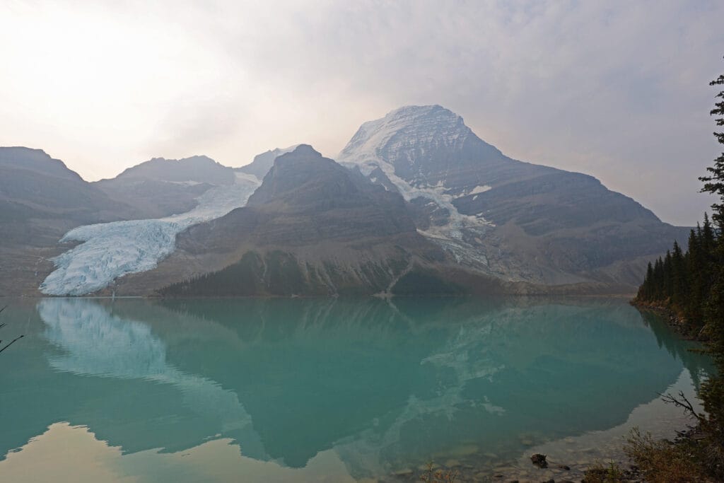
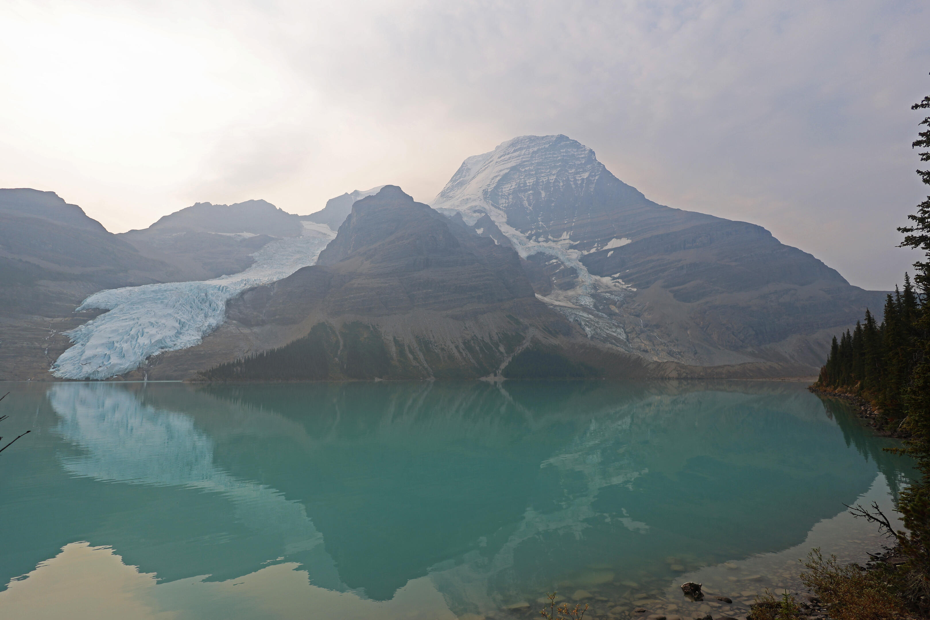
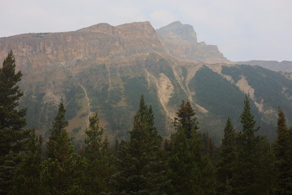
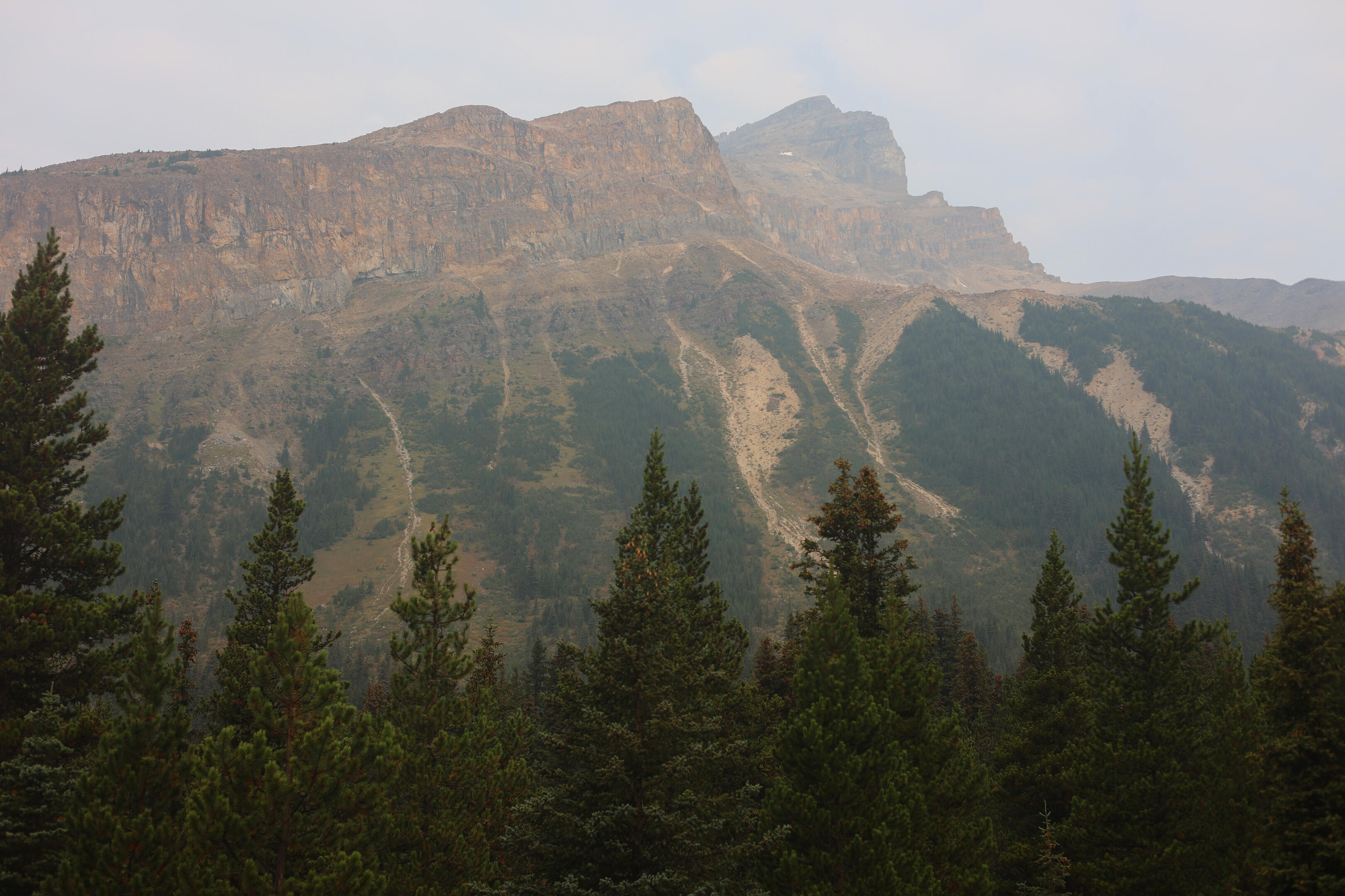
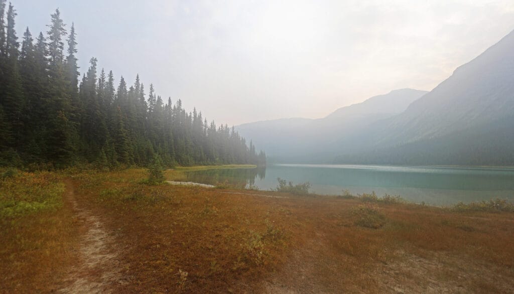
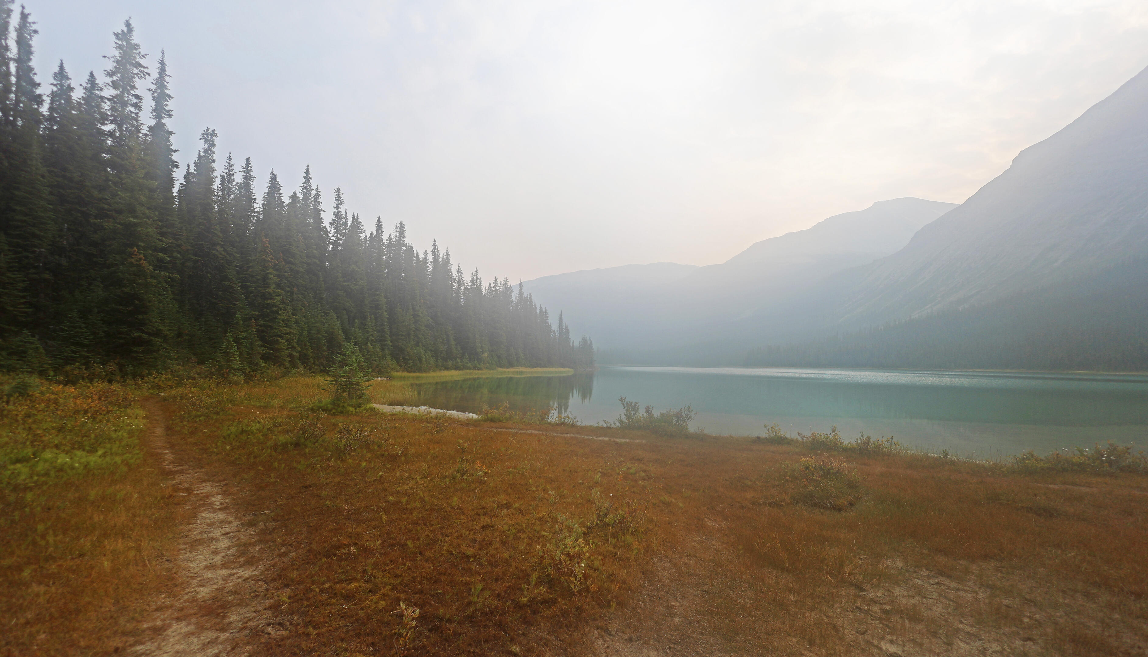

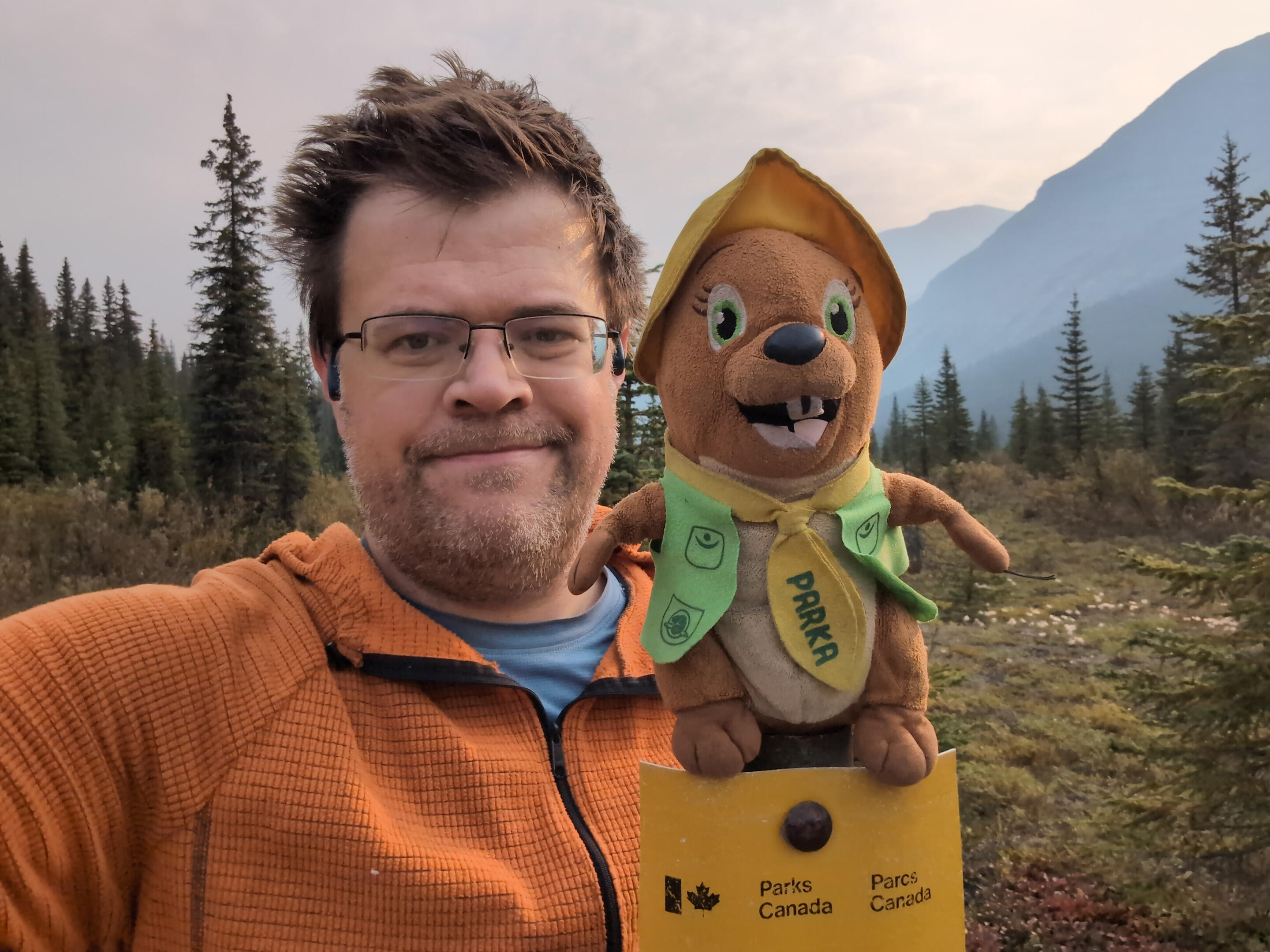
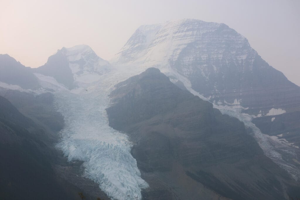

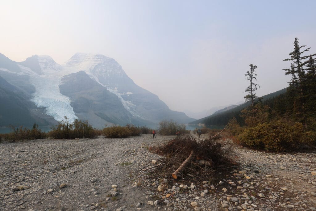
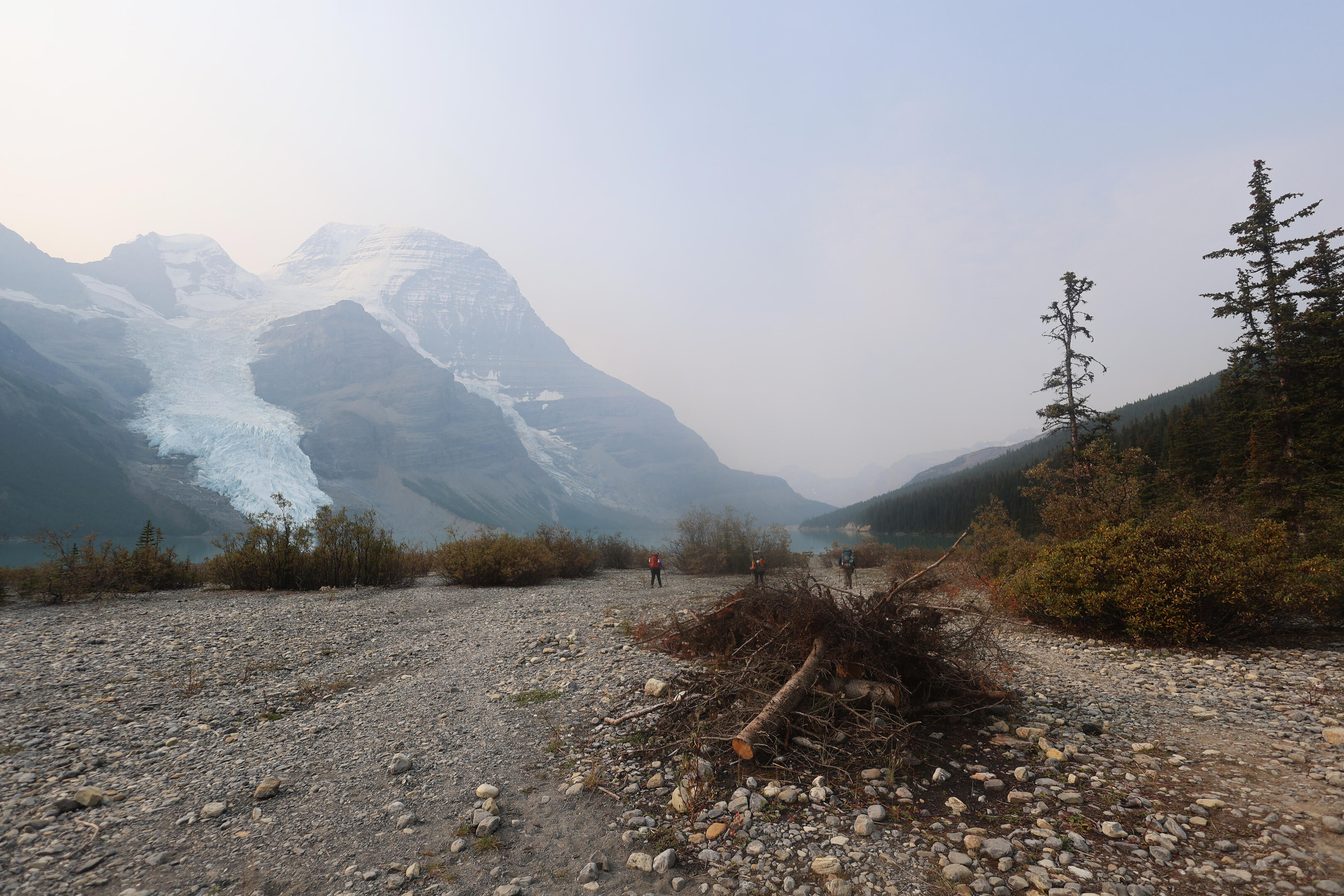
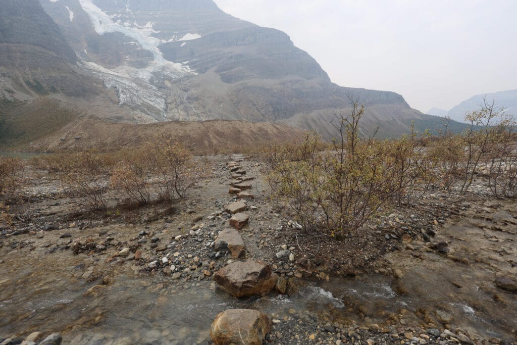
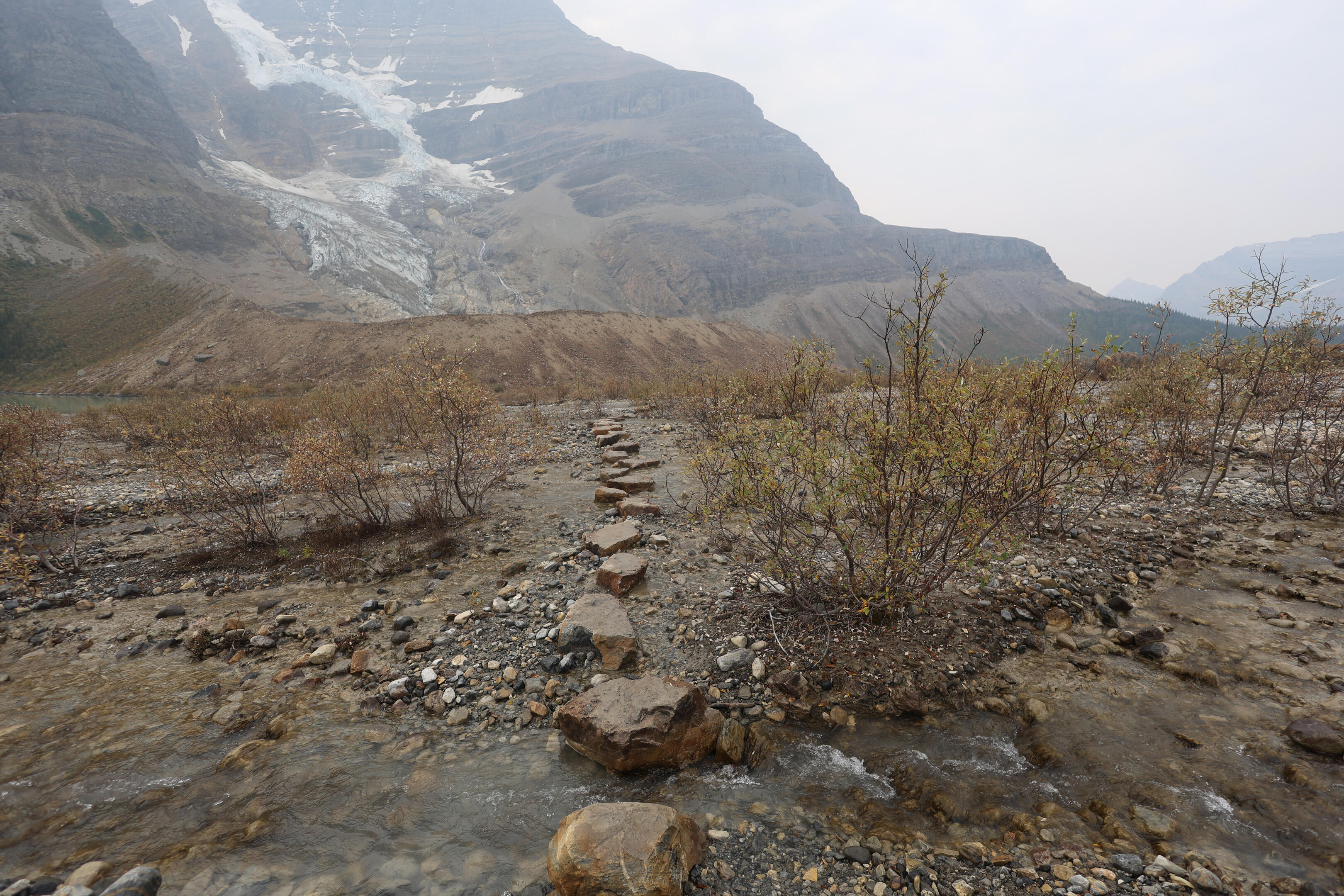
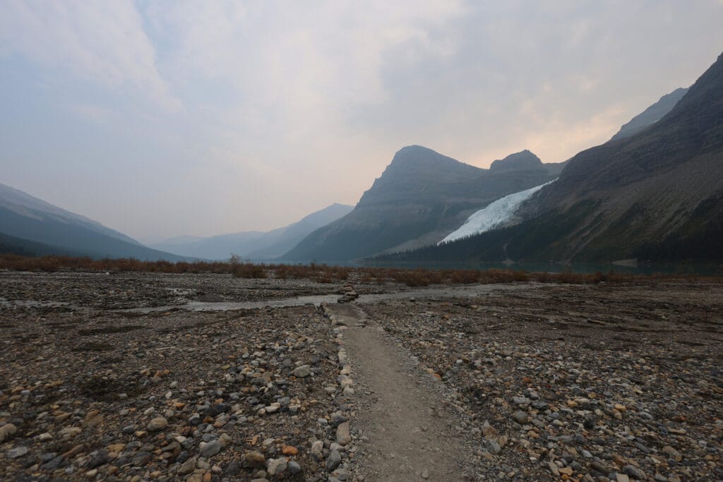
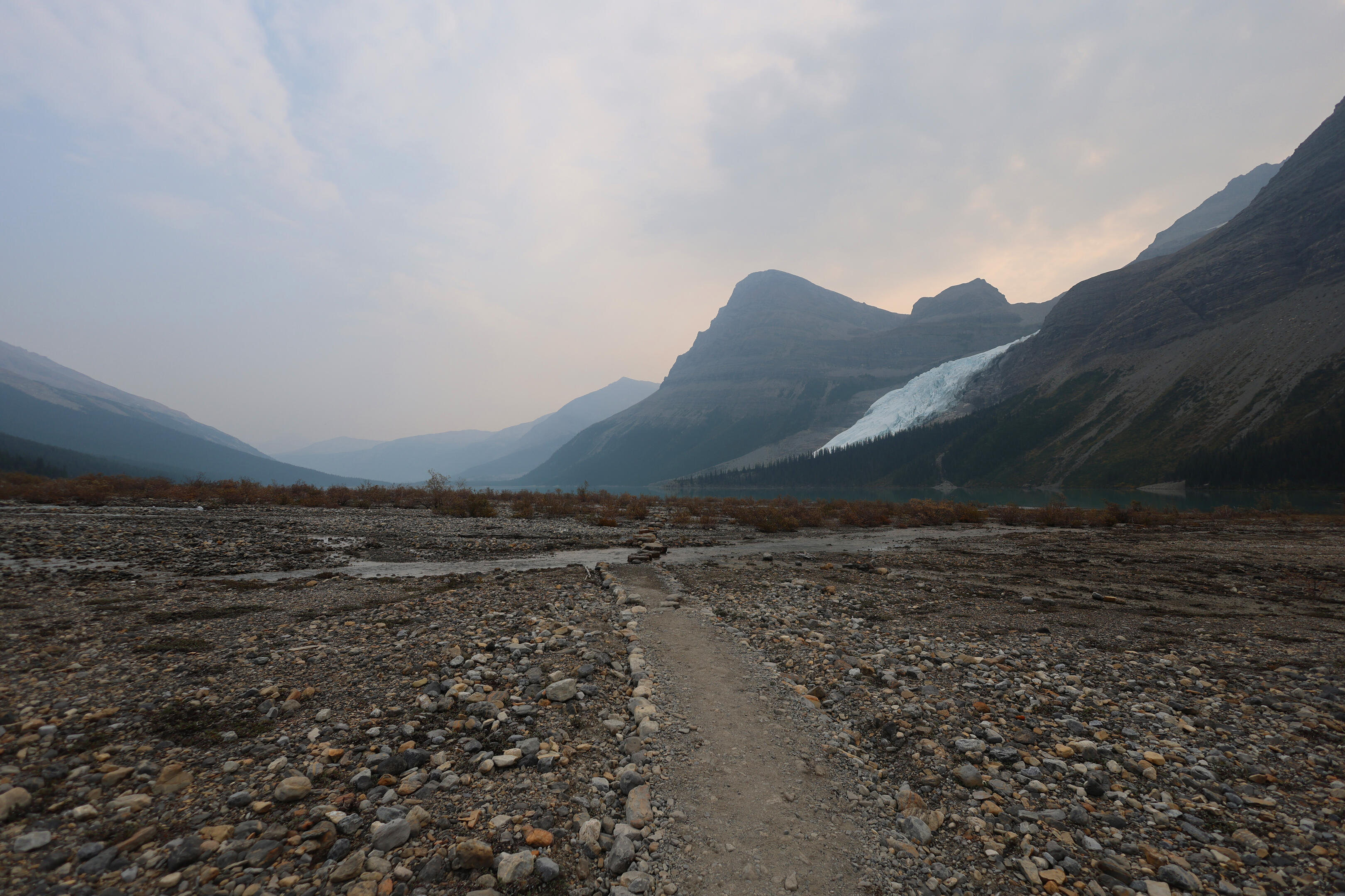

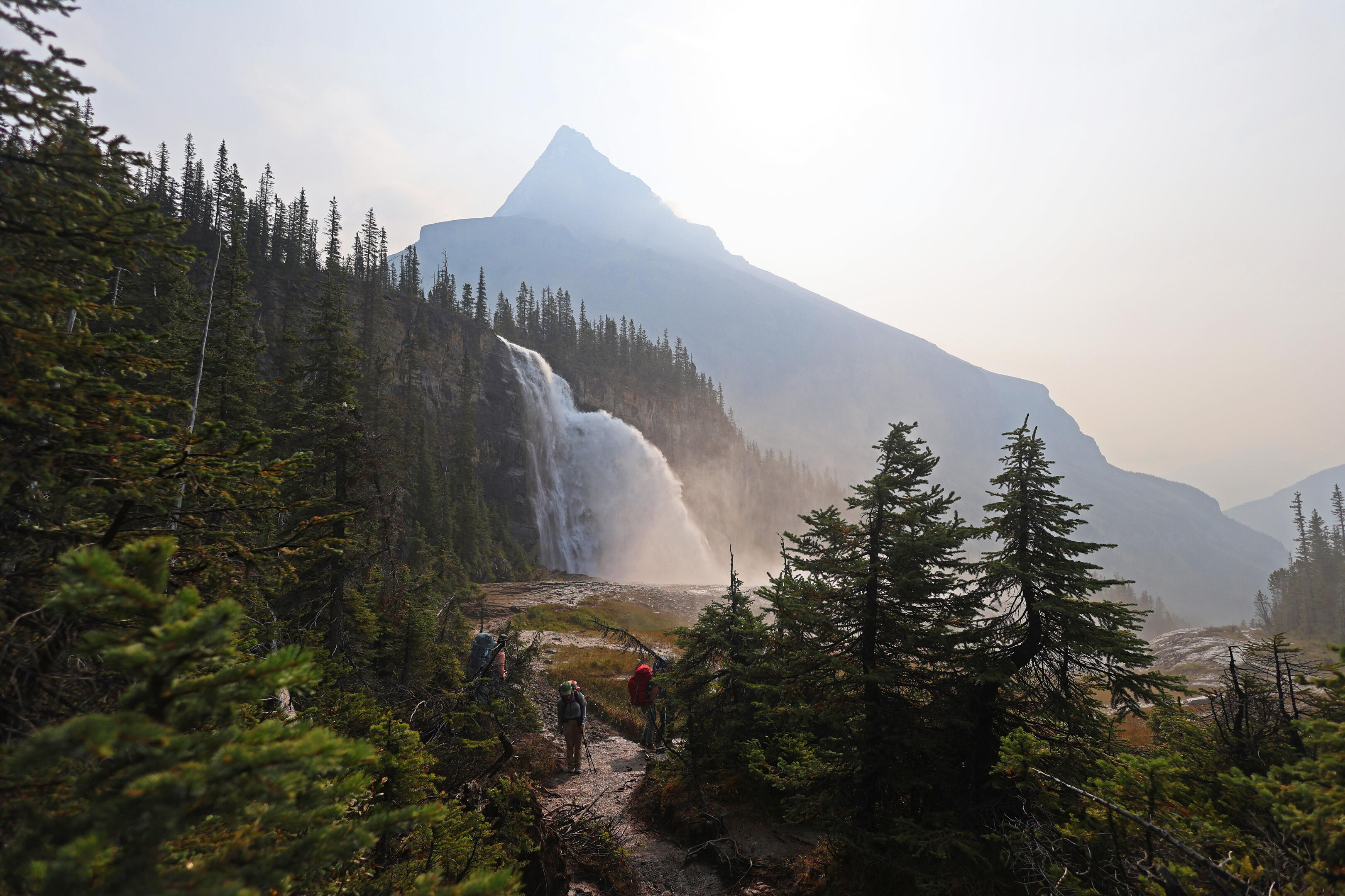
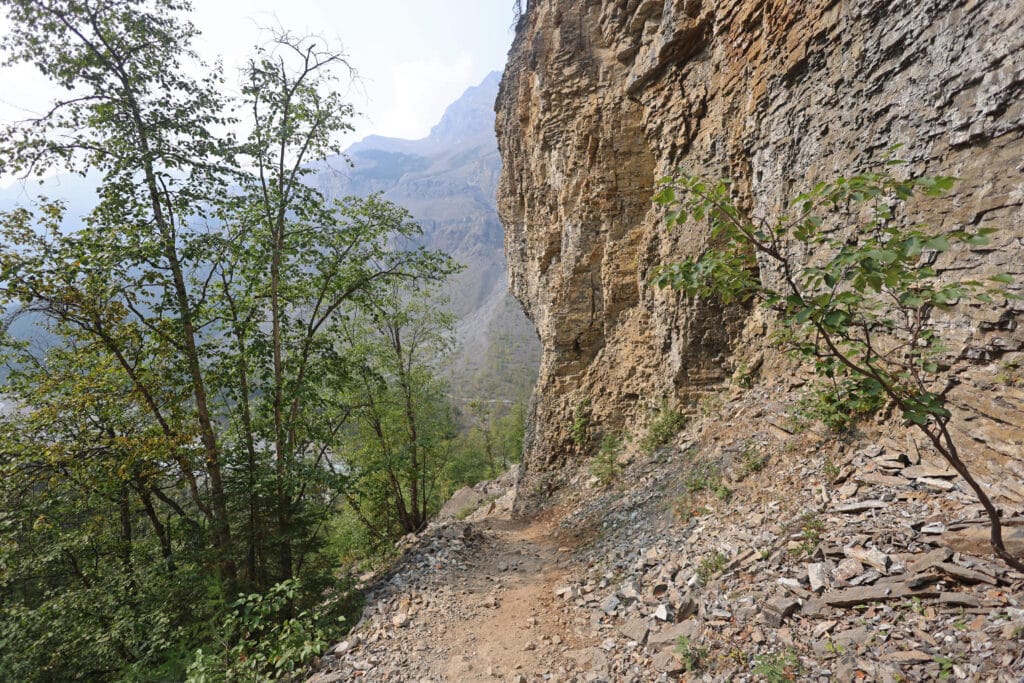
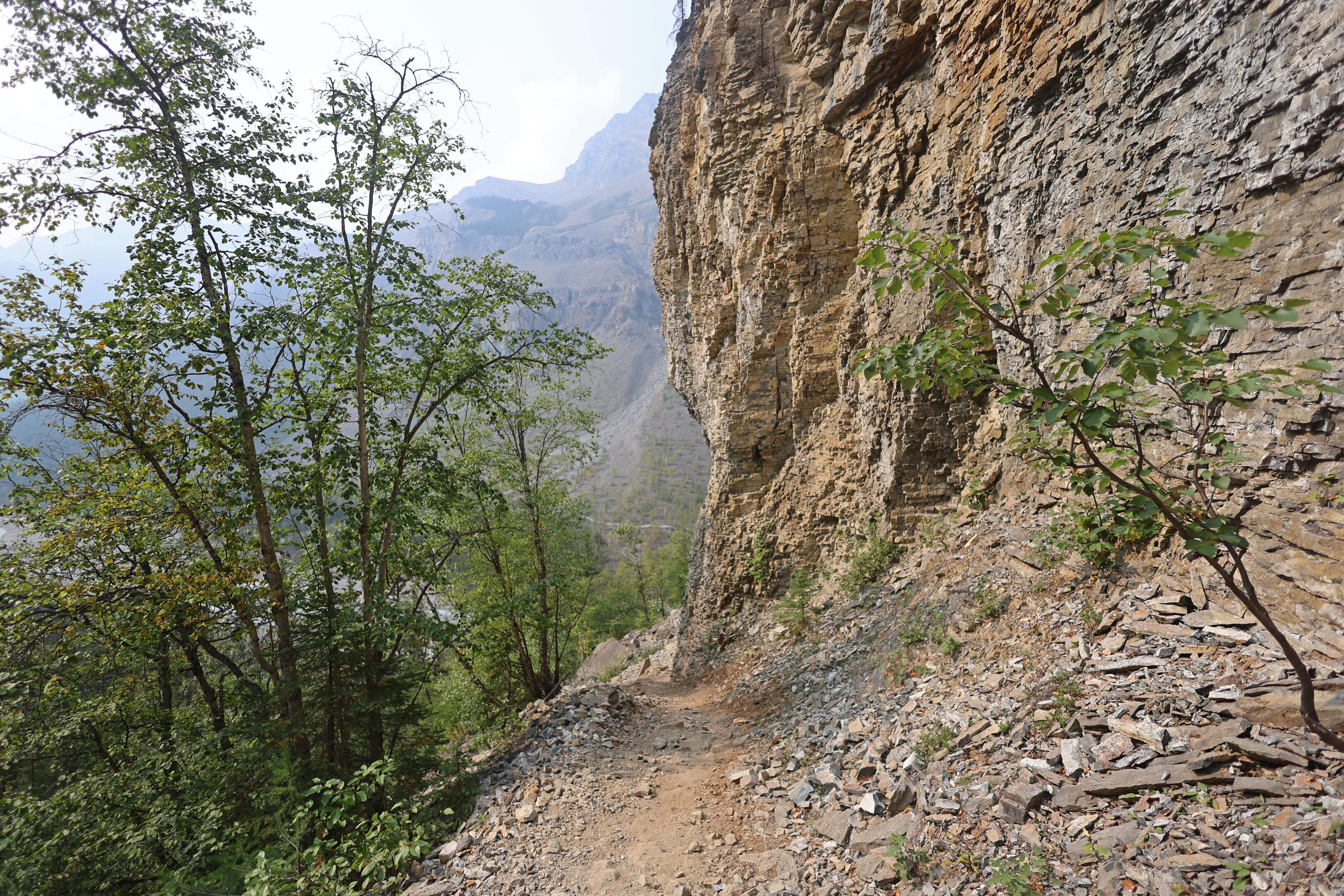
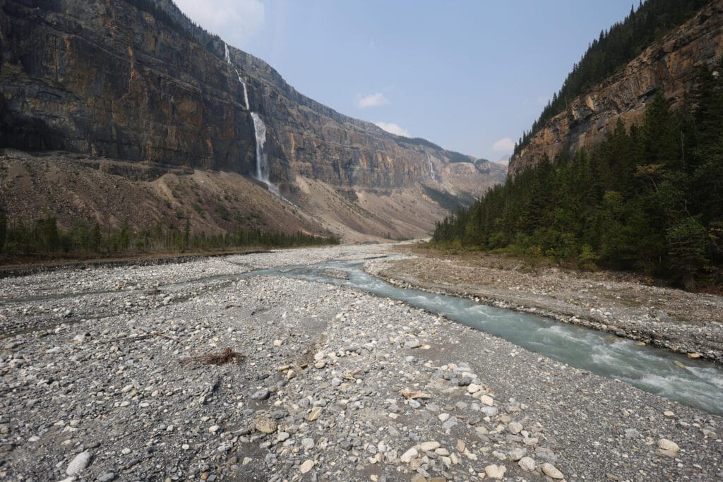
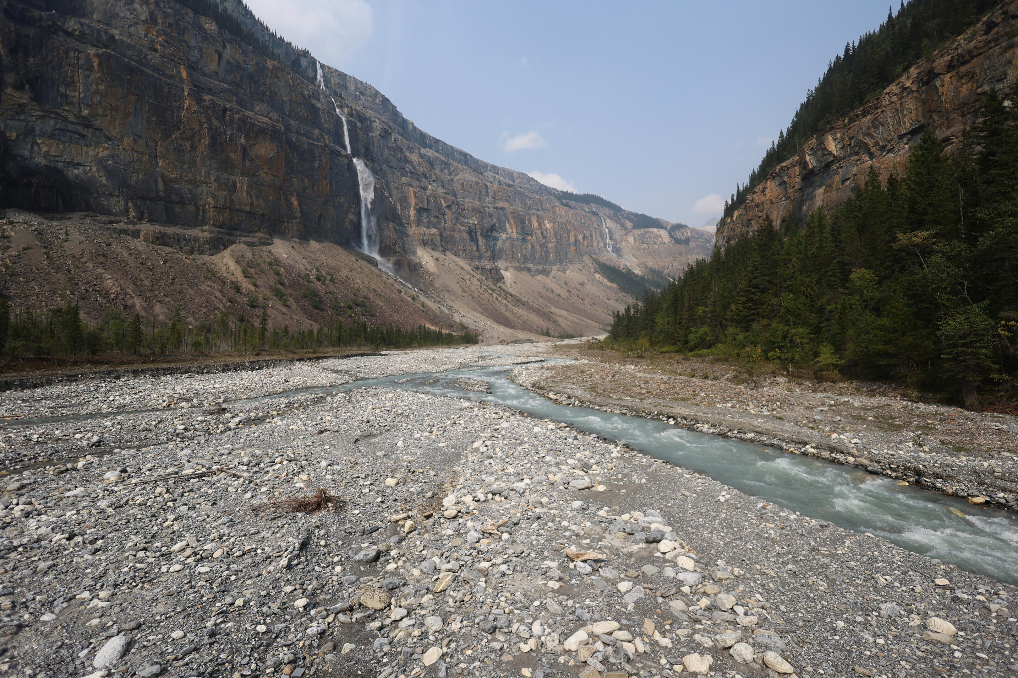
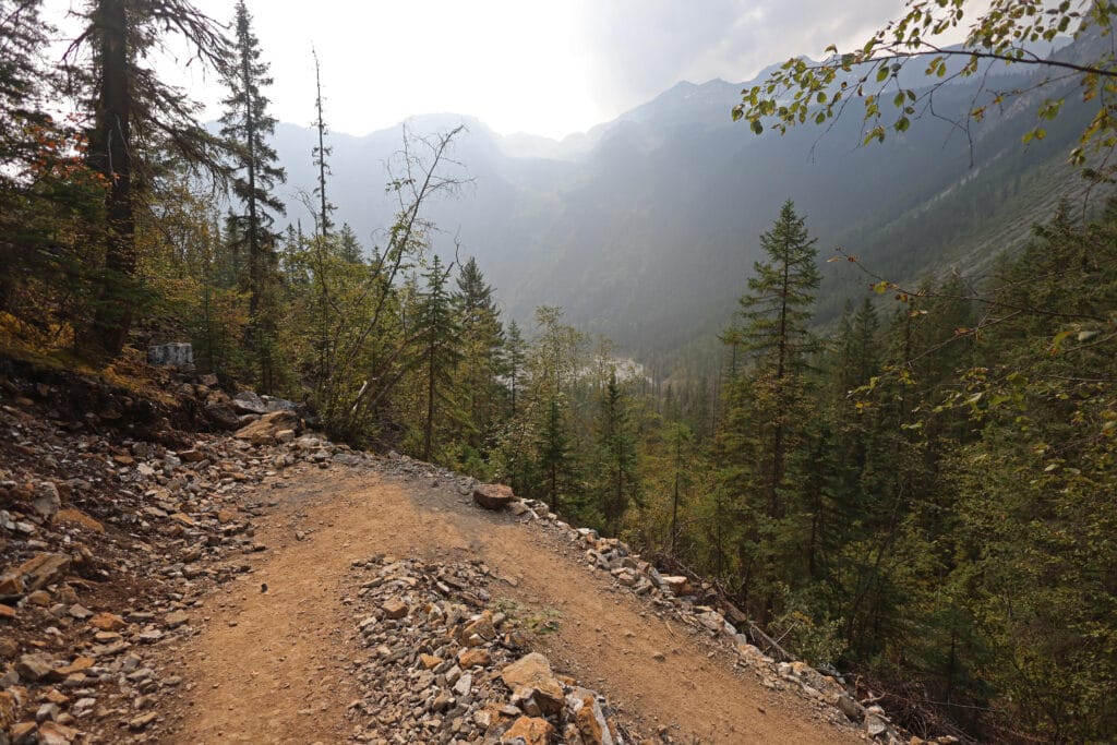

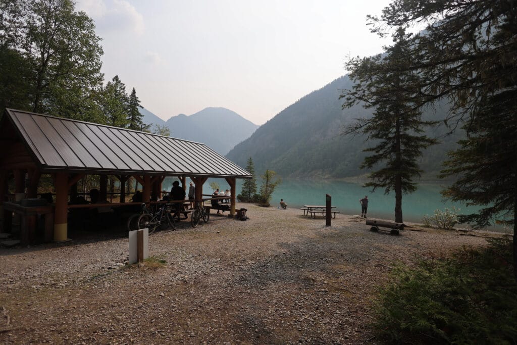


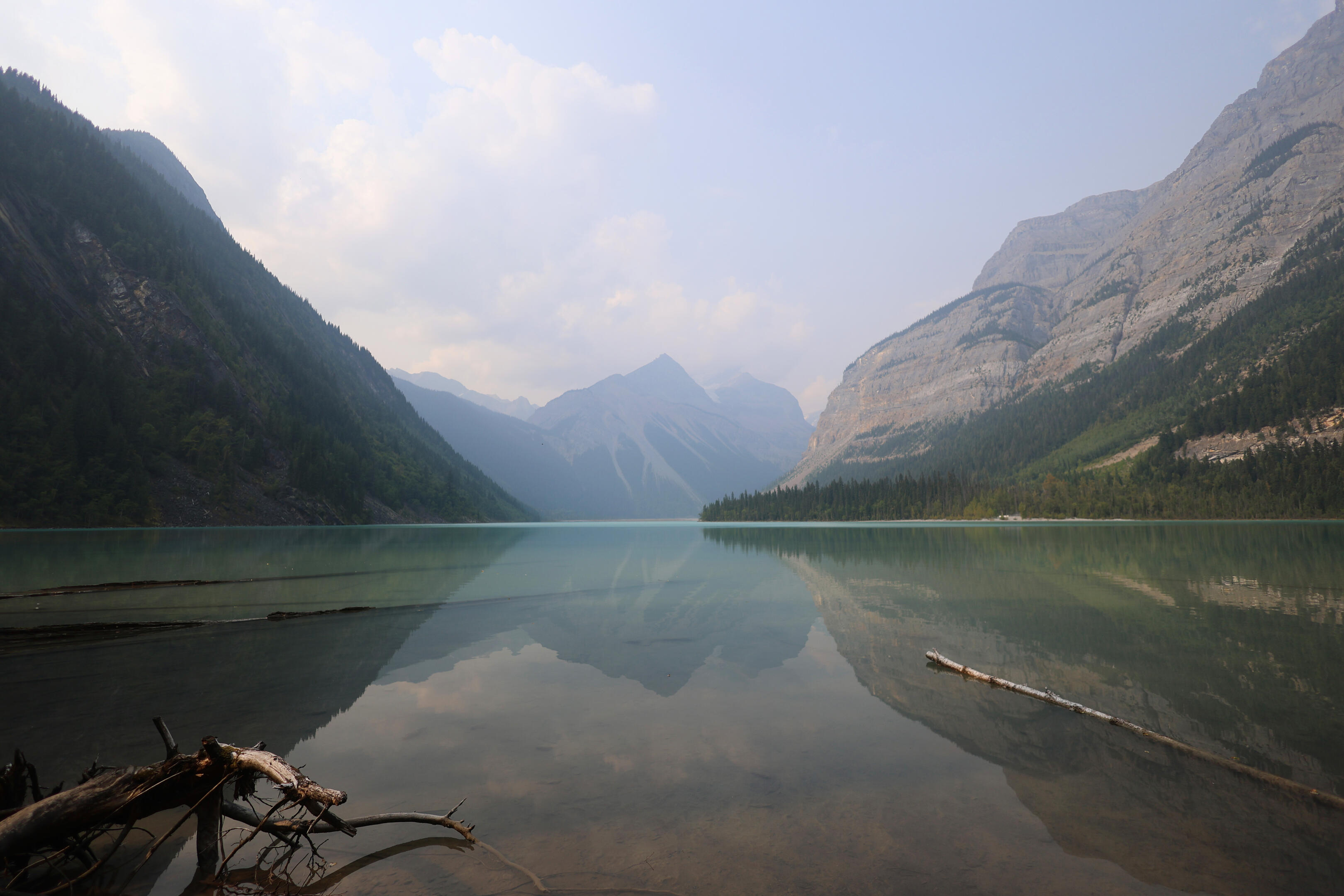

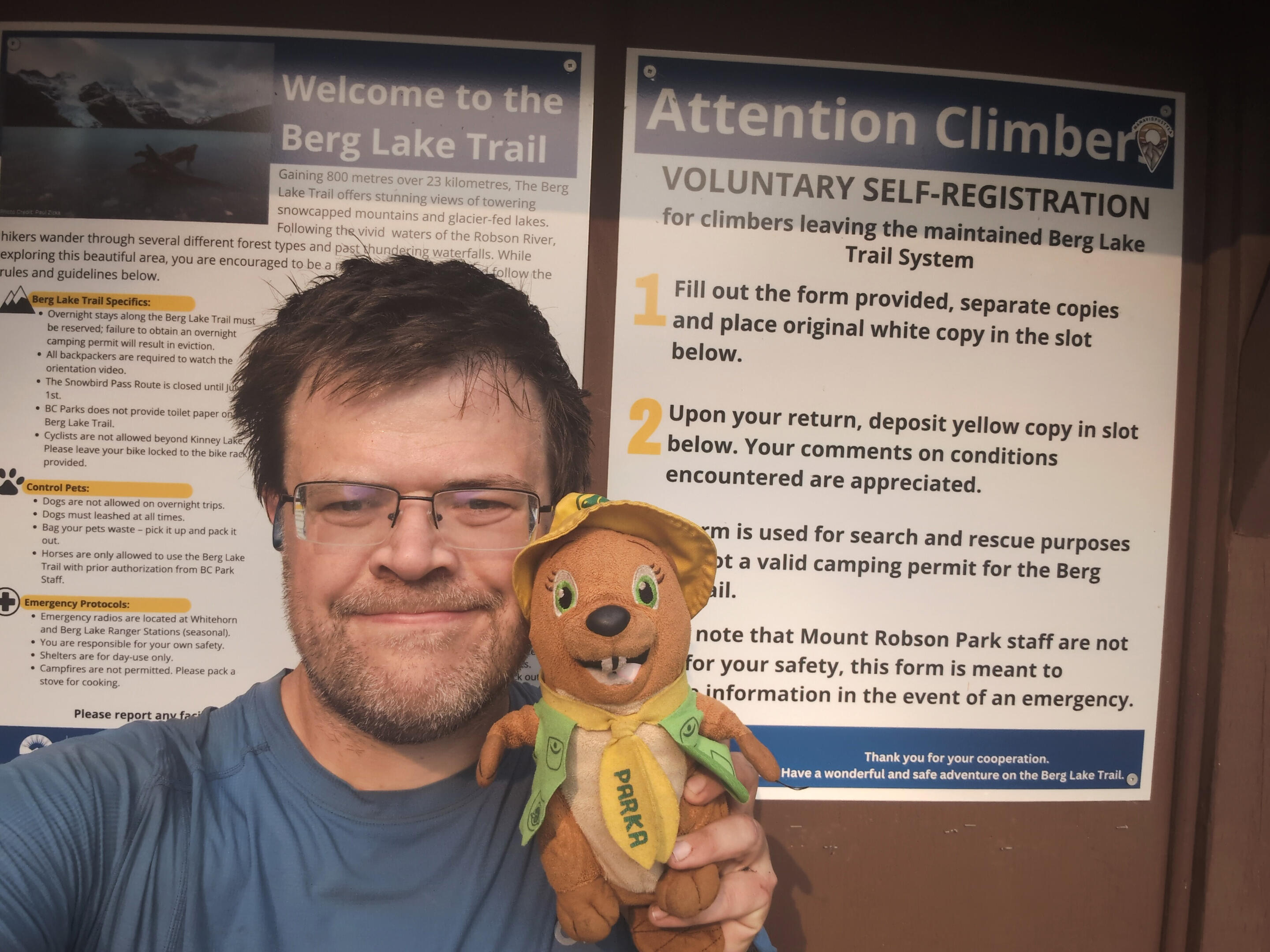
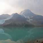
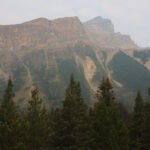
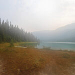
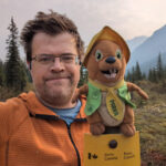
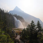
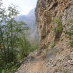
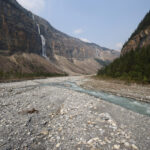
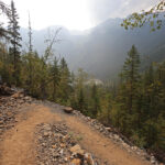
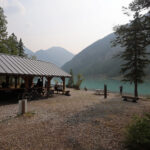
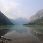
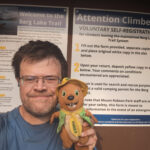
The forecast had been for rain in the evening and overnight, but the possibilities and probabilities were wild and unsettled. Just in case I had chosen my campsite with an eye to drainage, but in the end, though I once heard distant thunder, I was struck by about five raindrops in the evening and none at all overnight. The next morning was beautifully partially cloudy, with any trouble put off until late in the evening when I should have been well down (and it didn’t hit then either).
This suited my book, as I had something over 16 miles to hike out. A long day by my standards, but almost all downhill with the guarantee of some of the best views in the Canadian Rockies. I had terminal get-there-itis, an eagerness to be done, but I was also excited to finish my long, long hike on a definite high note, and on the well-built, colossally-popular Berg Lake Trail, I could expect zero fords, zero routefinding, zero doubts.
However, it was still Jasper National Park for a mile and a half, and the hike began with business nearly as usual. Walking through the forest, dodging mud. A short interval of what had come to feel so normal.
Yet there were unusual sights for the North Boundary. Someone lined the little streams with convenient stepping stones, for the ease of the more pampered Berg Lake Trail hikers venturing up who wouldn’t want wet feet. There were a couple new green-and-white Parks Canada signs saying “no camping” next to little, not-very-appetizing clearings. It was starting to smell casual. It was also starting to smell smoky; the wildfire was blowing in again. Another porcupine, a larger and more ornery one, fled the trail as I approached, all bristles and defensiveness, but while he gave way only grumpily he did give way.
The trail was broad, clear, and easy, the North Boundary’s best version of itself, but still recognizable as the same old about until I hit Adolphus Lake. Adolphus Lake, at this time of year with not much rain, is rather small but pretty enough; no subalpine lake shows its best when it’s that low but it was perfectly pleasant. The backdrop was dramatic, I felt pleased to have seen it, and then I turned my face back towards Robson Pass.
There are too many great Rockies passes that I have not seen for me to pretend to be an expert, so I will not go overboard with the superlatives. But to be prettier than Robson Pass, while walking towards Berg Lake, will take some doing. It was flat, long, wide, staggeringly easy to hike, and the views were fantastic as I walked towards the mountains and watched the angles change for miles. There was Mount Robson, of course, but not only Mount Robson; the jagged, striking symmetry of Rearguard would have been a highlight anywhere else, and on the other side, Mount Anne-Alice and the Hargreaves Glacier dominated a sweeping set of ridges that one could easily fall in love with all on their own, while in the middle the broad flats that seemed so easy to reach from Adolphus gradually turned from a remarkable stone-grey to the developing glacier blue of Berg Lake.
Of course Robson is the star, though also a diva: a colossal square-headed lump of rock and ice that demands attention not with classical beauty but sheer force of personality, a mountain that will never be ignored, that dominates its seemingly-noble neighbours with unrepentant power, trailing the finger of the Berg Glacier coquettishly into the lake, making you fall in love with it so it can have the opportunity to hurt you. Me, I could never really love Robson, but it’s impossible not to respect it and to pay it attention. Despite the smoke the top was just visible, and the slight haze only made it seem bigger, the summit more distant, a challenge that even for experienced mountaineers ends in disappointment much more often than not, as befits such a prima donna of a mountain. I couldn’t love it, but I also couldn’t deny it was up to the prominence its ego gave it, and that the pass was better because it was there.
From Adolphus Lake to the outlet at the end of Berg Lake, that’s your view. Yours for over three miles, give or take short forest runs on the shore of Berg Lake that feel almost like a cheat.
Small wonder there were people. The Berg Lake Trail is, as everyone knows, enormously popular for its own sake, as people who will never get any nearer the North Boundary Trail than Robson Pass head on up to experience the wonders of the alpine, then turn around. They may not head up on foot: as Parka and I paused for our selfies at the boundary between Alberta and British Columbia, and between Jasper National Park and Mount Robson Provincial Park, a helicopter landed and disgorged a couple of hikers who hadn’t wanted to deal with the long climb. The Alpine Club of Canada is building a new cabin at Robson Pass, visible from the trail, that is rather horrifyingly modern and unnecessary but you can be sure will also be full. The old Berg Lake chalet was closed in 1977; for fifty years, if you’ve stayed around Robson Pass you’ve stayed in a tent, but the buildings are coming back. Don’t focus on that, don’t focus on the helicopters, focus on what you’re walking towards: it’s easy to do.
Easy hiking on level, broad trail with beautiful views. You might ask for it to have less traffic, but that would hardly be fair and this high up, at a time of morning when any North Boundary hiker is likely to hit it, it’ll be fine. As of the day I left the entire mountain had been sold out for camping but several sites had clearly not been occupied last night, their would-be campers perhaps put off by the big climb and giving up further down the trail. Since there were dozens of pads the place was definitely still busy, but not nearly enough to be a problem. There was one person who seemed at all inconsiderate and everyone else was very happy to hike with courtesy and enjoy the splendour. At one point a couple of BC Parks rangers were approaching me on the trail, and wide though the trail was they stepped off to let me go by. “There’s plenty of room for both of us!” was all I could say, laughing at that little gesture on the widest, easiest trail I had seen the whole trip.
It’s the sort of hiking you could do forever and then, at the end of Berg Lake, there is the first recognizable stretch of new, post-2021 flood trail. I am not sure if what I hiked is what they plan to be permanent; there are many bridge-building materials stacked up by camp. When I crossed there was one (1) bridge, right away, a little two-board metal hiker bridge over a modest channel, and from there, the trail is a beautifully built-up and bordered path in a field of rocks, crossing dozens of braids of the Berg Lake outlet on placed rocks that, in low-water season, are just enough to keep your feet dry. remarkably groomed, remarkably open, and remarkably winding across all those channels, all of which were pretty shallow but some of which, on the trail’s chosen route, were quite long hops across those big, carefully-placed stones. This section of the trail only opened in June 2025, so if they spent the spring placing all those stones it must have been very hard, very wet work; there are probably a hundred of them in total, and it’s such a unique way to hike that even when your eyes are down striding across them, it’s a fascinating trip, then you hit the next patch of immaculate new trail and can look up again and enjoy the views, getting so close to Mount Robson it dominates things more than ever before it passes away on the left. In a storm it must have an austere, grim grandeur, wet as all get-out but in that humblingly powerful way that makes the rain feel the most natural thing of all.
On the way down to the Emperor Falls campground (above and out of sight of Emperor Falls itself), the fun rocky stuff gives way to forest hiking on a giant, heavily-worn trail replete with culverts and a high standard of maintenance. More good walking, and at the cooking area I took a break for water and a snack. There were plenty of people up and about by this point, and I passed more people circulating near the picnic tables than I had in the previous nine days. They all smelled like clean laundry; when you smell laundry on someone from twenty feet away, you know you’ve been out. I looked down at my hiking shirt, stained and torn, and felt slightly out-of-place. Filtering water at one of the tables in full trail-worn squalour while others wandered around in clean clothes with big bright Osprey backpacks full of comforts made me feel rather like hiker trash.
After that break I proceeded down to the spur trail to the falls themselves: it was a pretty steep drop to get there, which ought not to have been surprising, and at the spur trail intersection BC Parks has posted a sign asking the many hikers who take the side trip not to leave their backpacks as they have been pilfered by animals and other hikers. Fair enough on the animals, but my own opinion is that the simplest way to deal with hikers stealing from backpacks is to throw said hikers down the conveniently-nearby waterfall like Professor Moriarty. My trip down the spur trail, by the way, is included on the GPS track because really who’s not going to go?
As has been made clear elsewhere I find the horizontal more charming than the vertical, and Emperor Falls is very vertical, but just because, on account of its remoteness and a size perfect for the human field of view, I probably liked Welbourne Falls better does not mean that I did not like Emperor Falls quite a lot. I stopped relatively far out on the access trail, when I could see the falls in depth and just feel the spray, and they’re worth the slippery little up-and-down to see, thundering off the cliff I had just descended more elegantly, soaking the air for a great distance, plunging down before my eyes. It had been a grand morning for scenery.
I didn’t hang out, partially because many hikers already were and there wasn’t really room, but mostly because I still had a long way to go, and this was the point where that started to matter. After Emperor Falls came some walking over rocky points which was fine but felt odd, like I was heading to Quarry Rock in North Vancouver, then some going down, down, way down, around jagged and slide-prone cliffs that overhang the trail with visibly crumbling old rock: down the Valley of a Thousand Falls.
The Valley of a Thousand Falls was named by clergyman, Alpine Club of Canada pioneer, and putative co-conqueror of Mount Robson the Reverend George Kinney, who professionally knew the practice of using big round numbers to represent “a lot.” There are not a thousand falls in the Valley of a Thousand Falls. How many? Hard to say; while the views can be great, the trail is often away from clear looks into the valley itself, because to go straight down the valley you’d need an elevator. The trail does steer the hike towards several, of which the Falls of the Pool was my favourite, and even when walking far from the water it is a lot of steep, rocky, often-dramatic hiking with a great deal to look at.
However, if you’re fresh off the North Boundary Trail you have not been hiking a lot on rock or steep slopes for the past ninety-odd miles, and that’s what the Valley of a Thousand Falls is: a long, steep trip down on very hard surface. The trail is fantastic, and I never stopped being grateful I was going down rather than up, but while easier on the cardio down is harder on the pegs. It’s a lame thing for a hiker to admit but hammering down all that rock frankly made my feet hurt. It lasts for miles and the punishment added up.
Different people handle the Valley of a Thousand Falls in different ways. Some people, presumably camped further down the mountain, headed up with light day packs to enjoy the scenery then return, which is not my style but easy to understand. Some people are much more confident on all those rocks than I am and use gravity as their friend, absolutely flying downhill past me, but I don’t have the confidence and coordination to step so lightly as they. I could only clomp. I am pretty sure the sign at the Emperor Falls spur said that Whitehorn campground was four kilometres away, and I am very sure that it was further than that.
Once I was pretty much down the valley, the trail entered an area that had been rerouted. In general, when signing the new trail, BC Parks seems to assume that everybody will see all the signs on their way up, and therefore there was no need to immediately put in signs on the way down: true in at least 99% of cases, and certainly fair enough, but an occasional irritant for me. I only saw two equally obvious trails splitting off with nothing to choose between them. I guessed left, as it headed towards the Robson River and would therefore be shorter if it was wrong. Wrong it was; that was the old trail, with wood bridge-building material on either bank, trail visible across the water, and a ford that was by no means unreasonable. On the North Boundary I would have said “this is it;” on the Berg Lake there was not going to be any ford worthy of the name. So I turned around, took the other trail, and that was correct: it leads to an amazing new metal bridge, propped up on wire-bound rock caissons and everything, the longest bridge I’d seen since I’d been on Highway 40. The new trail weaves up and down and old avalanche slope for, again, a surprisingly great distance. It is phenomenal construction, great hiking, utterly civilized, but again it’s all on rocks, and my feet did not feel better. It was hard to say when it was going to end, but it was taking longer than I thought. By the time I reached Whitehorn campground, now accessed across another new metal bridge and opposite the river from the BC Parks patrol cabin, I had become impatient.
Although soreness sapped at the joy, the walk was lovely, and Whitehorn campground is nearly as gorgeous as the rest of them. The floods have opened up views of the rock-strewn river, and though Mount Robson itself is hiked-away at Whitehorn the alpine views are still incredible. To any who find the Valley of a Thousand Falls too much to hike up, Whitehorn is a great consolation prize, a top-tier campsite that is easy to reach and splendid to stay in, if difficult to book. When I had checked Whitehorn was full but, unlike the campsites higher up the mountain, it looked it. An enormous cooking shelter held a plethora of picnic tables, a wood stove, some stuff people had lost hanging from hooks, and hikers. Though it lacks the real gold of the wondrous Berg Lake country way up the hill, there is a definite beauty in Whitehorn’s shimmering pyrite.
Whitehorn, for me, was a bit more than halfway through my day, but it represented considerably more than half of the experience. From Whitehorn down there were certainly views that on any other day of the hike I’d have rated as highlights, but between foot-soreness, the growing crowds, and the sheer wonder of what I’d already seen, I would on this day just pass by with a vague twitch of appreciation. There was more new trail, but as it went through the forest it was not as easy to tell from the old as the great big obvious carvings through the rocks; less obviously fresh tread and more seeing secondary signs, that all the cuts were recent, what you might call that “new trail smell.” Every step brings more people. Kinney Lake is long and genuinely lovely, but by then you are in the range of mountain bikers, picnickers, day hikers, casual groups, and all sorts who want a taste of the Rockies, individually fine but in aggregate taking up every picnic table, bench, and opportunity for rest, driving me on to just bash it out.
The trail is of course as good as it gets, wide, never a challenge worse than overtaking a slow group going uphill. My feet were heavy but my pack was so light that when I scooped it up I briefly wondered if I’d forgotten something. It is a beautiful part of the world, even after Kinney Lake when it is more forest and walking by the Robson River than mountain grandeur, and while I turned it into a tireless, nearly-unstopping death march to the finish, that was a function of the crowds that would make any stop un-peaceful and my own desire to get this done. 100 miles of trail, and I had 97 down. 98. 99…
Quite near the end I passed a large swarm of people with their cell phones out, pointed up a tree: a rather little black bear was way up high, waiting for them to go away. I looked, and thought of my grizzly frolicking in Chown Creek without a care in the world, and kept going with hardly a check to my stride. The numbers on the kilometre markers got lower, then they got to “1”, then I saw a little information stall and I thought I’d reached the end, but not quite: there was one left turn, one bridge, and I walked into the Berg Lake parking lot and finished the North Boundary Trail.
I was footsore, tired, and successful. Parka and I took more selfies and I pitched myself onto a picnic table, traffic be darned, to take a good long rest before walking down the access road to the visitors centre and from there my frontcountry camp for the night at Robson Meadows. I had arrived with plenty of time in hand, a moment for rest and gratitude seemed well worthwhile, and it was even better than I expected. For I fell into conversation with a man who had been one of the park hosts at Kakwa Provincial Park’s little hiker cabin through 2019: he knew all about the Great Divide Trail and shared many stories, it was a wonderful chat to reintroduce me to civilization. Then it got even better, for literally no sooner had I started my road walk than a truck pulled over and offered me a ride. It saved me about 45 minutes of gravel walking, which was a treat, and gave me time to poach the visitor centre wifi before going into the cafe for an overpriced and unremarkable but truly spot-hitting cheeseburger. At Robson Meadows I managed to get my non-freestanding tent up after I found a little cluster of rocks in the bush that I could bring over for anchors, the rain never came at all, and from there everything continued to go according to plan: I got my ride into Valemount, my AirBNB was perfectly good, I ate an embarrassing amount of pizza, my town clothes didn’t stink, and my train home was even on time.
I felt a little selfconscious on the train, for I had sprung for a sleeper (fares are disproportionately cheaper from Valemount than they are from Jasper) and was surrounded by people taking the train as experiential tourism, not for transport. They were all full of observations and criticisms about whether this was as much of a five-star experience as big tourist trains around the world, while I was taking transit home. Those who have taken VIA Rail’s Canadian through British Columbia will remember Pyramid Falls, when the train slows down and everyone rushes to the window to look at the passing torrent. Me, I sat quite comfortably in the Skyline car and barely flickered an eye to the crowded window. I was quite fallsed out.
It is a curious fact that God gives so many blessings of such enormous importance that they fade into the background of our lives; we have to be reminded sometimes to be grateful for them. Yet on something as ultimately insignificant as a good hike, ten days of near-ideal weather, a lack of injury, a successful crossing of every ford and finding of every lost trail, no injuries, no serious gear problems, a good vacation, those blessings seem so obvious and so generous that thanks spill out at every opportunity. It does, at least, remind us of those important things, of salvation, health, and the comforts we have. Which is a blessing too; being reminded, after a wild trip where everything ultimately went well, that though we are used to the pleasures and responsibilities of our everyday lives, they are no less remarkable and worthy of praise.
What a trip. What, what, what a trip. I had been alone less than I’d expected, had found fewer difficulties, and had hiked it straight according to plan. The feeling, though, was all I had hoped for. Sitting in those relentlessly beautiful camps in the evening, enjoying peace, occasional adventurous company, and experiencing the Rocky Mountains in so many of its best forms, from the great flats of Chown Creek to the fertile marshes of Three Slides to the pastoral highway of Snake Indian Pass to the simple splendour of Welbourne to the loving welcome of Oatmeal to the classic, this-is-what-you-imagine-the-mountains-can-be wide-open vistas coming down Robson Pass, and many more. There was so much forest walking, but no two days managed to be indistinguishable, I often knew what to expect but could always be surprised in the details. Yes, the trail was in better shape than I’d hoped, yes, the ease of following it and the recent trailwork perhaps took some of the drama out of the story, made it less of an achievement. But notwithstanding any novella-length trail diaries, one hikes not to boast, but to feel, and the North Boundary Trail has as much feeling as anywhere.
In his 1925 classic The Glittering Mountains of Canada, J. Monroe Thorington put it perfectly, describing quite another part of the Canadian Rockies, but capturing a sensation that a century later summarizes the North Boundary:
At last there was nothing to do but go; and go we did, into that wondrous land of far-off valleys where the great rivers of a Continent come leaping down in little brooks and arching waterfalls from the ice-tongues; where rise, beyond the old horizon, the castellated crags and snowy spires we had read and dreamed of. [. . .] We were not pioneers ourselves, but we journeyed over old trails that were new to us, and with hearts open. Who shall distinguish?
- The most famous was the case of Mounts Hooker and Brown, right on the fur trade highway at Athabasca Pass. David Thompson, whose maps and route-finding skills were second to none but who only saw peaks as things to avoid, opened the route and worked out elevations by the Mark I Eyeball. Surveyor Aemilius Simpson, a questionable figure and distant cousin to the reputable Sir George, built off Thompson’s mistake and added in his own, and based off that naturalist David Douglas calculated the heights of Hooker and Brown at over 16,000 feet, more than 3,000 feet taller than Mount Robson and by far the giants of the Rockies. This was more than 50% too high, a consequence of cascading errors that bewildered mountaineers for decades.
- Identified by the Whyte Museum of the Canadian Rockies as “G. D. Kilpatrick.” Professor G. D. Kilpatrick was a well-known Biblical scholar born in Coal Creek on the British Columbia interior; he would have been 12 or 13 when The Call of Untrodden Ways was published and the best that can be said for the identification is that the thing is possible.
- It has its limitations, the chief of which is that it is vulnerable to limbs below the one you want to suspend your throw line from snagging the line. Certainly, even if a bearproof container was not required, it is no substitute, but it seems a valuable addition to the arsenal. Of course, never hang a hard-sized canister, which may split open if a critter gets it to fall, and even for a soft-sided container make sure you have it tightly cinched and as bear-proof as possible as well as hanging it.
- In the 2000s there was a controversy about issuing sidearms to wardens, as part of their equipment as law enforcement officers. Although wardens carried rifles to deal with wildlife, many wardens were strongly for sidearms and many strongly against; the compromise that satisfied nobody was that “warden” would be the job description restricted to law enforcement officers with pistols, while other backcountry specialists would get wordier, less historic job titles. I, and just about everybody else who doesn’t work for Parks Canada, stubbornly call them all “wardens” anyway.
- This is one reason why, to today’s eye, cabins on the North Boundary seem to be oddly close together, with the intermediate ones so underused. A strong hiker, let alone a warden with horses, can easily skip the intermediate cabins in summer: in winter, on snowshoes or skis in terrible weather, the intermediate cabins proved their worth.
- Camp, Frank. Roots in the Rockies (Ucluelet: Frank Camp Ventures, 1993), 58-72.
- I am indebted for too many stories to print to Nicole Eckert-Lyngstad’s 2013 masters thesis for the University of Alberta, “The Backcountry as Home: Park Wardens, Families, and Jasper National Park’s District Cabin System, 1952-1972,” available online at https://ualberta.scholaris.ca/server/api/core/bitstreams/3b7dfb71-ee96-4501-96c9-3c9dcbc6d4b9/content. One of the most interesting things about Eckert-Lyngstad’s thesis is that she successfully resisted the urge to write like she’d already been an expert and her research was just rounding the thesis off: she is at her best when she is openly learning something important she hadn’t known and her curiousity drives her on.
- Eckert-Lyngstad, 125.
- And if you’re reading this, although I don’t make a habit of putting the names of people I meet on the Internet, I do remember this time.
- There is an old horse trail out of the back of Twintree camp that saves some of this bother, but I didn’t see it in a brief look. It’s been a follow-the-blazes half-bushwhack for decades, and I know of nobody taking it since the floods. I suspect it’s there if you’re patient, but if you find it please leave a comment.
- Which I feel I ought to say was there in 2019; it isn’t a sly way to bust illicit crossers.
- Some guides report a stream 300 metres west of the campsite, but I have no current information.
- An old patrol trail towards the Willmore Wilderness that was rarely if ever hiked recreationally.
- This, by the way, meant my record for the most time alone in the wilderness would definitely not be broken. On the South Boundary Trail I went four days without human contact, from when I met people most of the way to Southesk campground to when I waved at some hikers halfway to Four Point on the Brazeau Loop. On the North Boundary my longest spell without meeting someone was from Blue Creek camp to meeting the Jasper patrol after Snake Indian Pass, a bit more than 48 hours.
- Nasty though Twintree Creek is, their weather held out and I reckon it’s easier from the Chown Creek side where it starts shallower and attention can bring you to that rock shelf without any thigh-deep stuff in between, where the bad steps are the last ones rather than the first. Moreover, fords are safer in groups.
- On the subject of the telephone: when I called to make my booking in January I got a member of the permanent staff who cautioned me explicitly about Twintree Creek. He knew what I was in for and took the trouble to make sure I did too. In August I had to phone in to change my booking from a Celestine start to a Rock Lake start, and the person on the trail desk that day was a summer hire who lacked that knowledge and was only equipped to read off the checkboxes about having bear-proof food storage and expecting unbridged crossings. So even having to call in is no safeguard.
- An earlier version, not the bridge that you see the remains of today.
- Although, by the time you hike the North Boundary yourself, it will probably be five of seven.
- The current campground is called “Wolverine North” by Jasper National Park, which would imply that the old Wolverine was further south. But unless the old trail guides are miles off, new Wolverine is south of old Wolverine.


So enjoyed your account. Your pictures are stunning.
Hey Ben – sounds like a wonderful adventure! Thanks for sharing it!