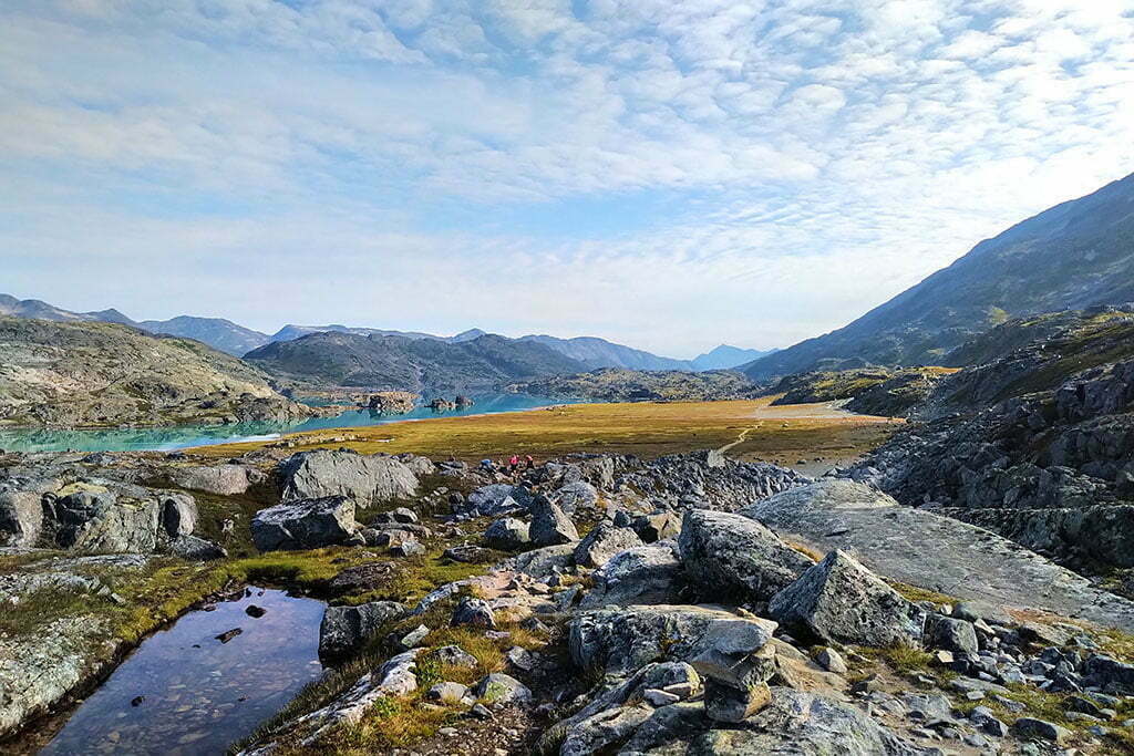

Skagway. I can’t believe I’m back in Skagway.
I have visited three times, which is two more than you should. In 2017, an aborted backpack to Kluane National Park (our river disappeared) turned into a week pottering around anywhere you could bus from Whitehorse. Thus a bus trip to Carcross, the most boring town in the world, and a transfer onto the White Pass and Yukon Route railroad down to Skagway. In my spare time I am a train nerd, and like most western Canadians I’d always nursed a modest, Pierre Berton-level interest in the Klondike Gold Rush, a grand tale of human irrationality, hubris, greed, glory, triumph, and despair. Skagway was one of the main Gold Rush towns, these days preserved almost as a memorial, and the railway had been built to convey prospectors and equipment through the early days of modern mechanical mining.
En route the train stopped at Bennett, British Columbia, the near-ghost town that is the northern terminus of the Chilkoot Trail1. From the station you can see a sign for the Chilkoot Trail National Historic Site of Canada. Saint Andrews Church, a rare surviving Gold Rush-era building, looms between the mountains above. You get off the train with the other tourists and ramble briefly around Bennett, looking at the interpretive signs and enjoying the scenery. It is extremely pretty. Some people camp there for a night or two and take the train back without hiking, and you see why.
Then you get back aboard and ride to Skagway through the White Pass, which is stunning. I swore, on that train in 2017, that I would someday hike the Chilkoot, the 33-mile route from sea level by the Taiya River, through the kilometer-high Chilkoot Pass, and back down to Bennett, where Gold Rush prospectors took to their boats and the hiker to his train.
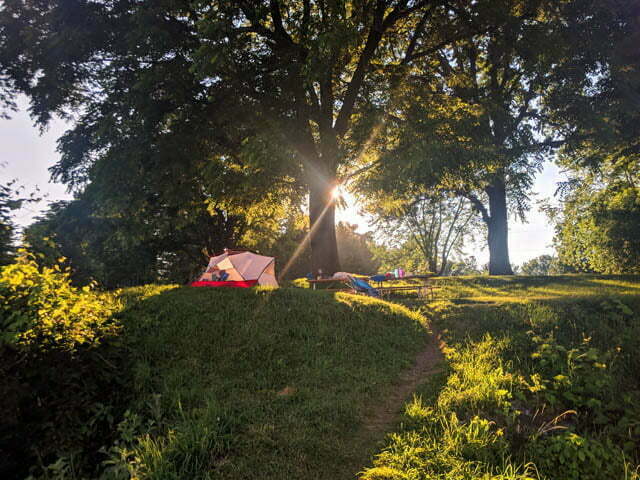
The Long Trail in Vermont is held to be the oldest long-distance hiking trail in the United States. Running 273 miles long, experienced backpackers can finish it in about a month through the mountains between the Massachusetts and Quebec borders, plunging deep, deep into the forest where no civilized man would go. Though not the most famous patch of track the Long Trail is regarded as a must-try for the ambitious backpacker.
While I did not have a month to spare, my hiking partner Carolyn and I arranged to do six days of it, nearly fifty miles from the Appalachian Gap to the resort town of Stowe, before gorging on ice cream and beer. However, while I was en route Carolyn noticed that we were in for the most appalling weather in recent history: temperatures always around 35° Celsius2, humidity in the nineties, and three days of lightning storms while we would have been crawling across the top of Mount Mansfield. It appeared to make travel ill-advised.
A late-night Skype conference from a shitty hotel in Harrisburg, Pennsylvania produced a plan. The news was grim but even in such hostile conditions the Long Trail could be conquered.Thirst and privation would be our constant companions, the heat our implacable nemesis, and death our only friend, but should we succeed the adventure would define the rest of our lives. Generations not yet born would feel their blood quicken as they thrilled to our tale. The price would be immense; perhaps greater than we could pay. But it is not given to everyone to carve new tracks out of the wilderness: sometimes you simply persevere when the weaker, and perhaps the wiser, would long ago have turned back. The prize for all this pain? Trivial, local, but real immortality.
But it was really hot so we went glamping in Ontario instead.

I have a bad head for heights. Earlier this year, in the Sooke Potholes Provincial Park on Vancouver Island, I got to show it off spectacularly. On the second day of a backcountry backpack through an area with no official trails, I found myself walking atop the Sooke Flowline, an abandoned water main that once provided drinking water to the people of Victoria. This was intended; missing my turn was not, and with the trails obscure and sometimes unmarked I was lost in spite of my GPS. I didn’t worry at first; I knew the Flowline led to the highway, from which I could not be far, so I stuck to the route rather than bushwhack in an area of valleys and cliffs.
This was a mistake. The pipe soon turned from nicely winding along the ground to perilously perched increasingly high above the forest. Fewer people come this way (because it’s wrong), so the slippery moss growing atop the old concrete was becoming more hazardous. Where there was no moss it was only because a falling boulder had punched a hole in the pipe. It was uncomfortable but not actually dangerous, until suddenly it really, really was.
I don’t clearly remember the context. The ground had been getting further and further away, then it was gone. Replaced by cliffs and the Sooke River, with the pipe that had suddenly turned aquaduct crossing at a height of about a trillion miles. It was definitely far enough. There was no escape save across the concrete pipe, which was say four feet in diameter, slippery with moss, full of holes, and, as pipes tend to be, round. I was already tired from a long day, it had been wet, I of course had 40 pounds of camping stuff on my back, doing a pirouette to turn around with so little traction and absolutely fatal consequences for a slip seemed more dangerous than proceeding. But if I crossed that river I better find something good on the other side or I’d never find the courage to cross it again.

The Juan de Fuca Marine Trail is a 47-kilometre back country backpacking trail, along the south coast of Vancouver Island between China Beach (west of Sooke) and Botanical Beach (a 45-minute walk south of Port Renfrew), paralleling British Columbia Highway 14.
No, you’re thinking of the West Coast Trail. The West Coast Trail is half-again as long, filled with vertiginous ladders, cable cars, and boat rides, and about ten times more famous. The Juan de Fuca Trail is the West Coast Trail’s misshapen bastard brother. You can do them both in one huge trip, connecting through Port Renfrew, but there’s no doubt who the alpha dog is.
At time of writing I had never done the West Coast Trail. So I did the Juan de Fuca Trail, and my choice was pure practicality: the three-day August long weekend was already coming, and I’d worked enough overtime to win a fourth. The recommended time to spend on Juan de Fuca is four days; for us ordinary Joes the West Coast Trail takes seven. So on Wednesday I was booking buses and a night in Victoria, on Thursday I was on the move, and on Friday I was hiking.




Unless otherwise noted, all content copyright 2016—2026 Benjamin Massey. All rights reserved. Any icons or trademarks used are the sole property of their respective companies. Powered by Wordpress. · Privacy policy
